You Might Like
-

Colored Regional Map of Africa -

Blue Globe with Continents Illustration -

Blue Globe Model for Geography Learning -

Black Compass Rose for Navigation and Mapping -

Complete Blue World Map -

Black Region Silhouette Map -

3D Globe Illustration of Earth Model -

Green Land Map Outline -

Map of Turkey with Major Cities and Regions -

Transparent World Map Design -

Silhouette Globe Design with Continental Map -

Map Outline of Slovenia -

Red Globe Pin Illustration -

Gray Map Silhouette on Transparent Background -

Colorful World Map Globe Representation -
World Globe Icon -

Classic Compass Rose Navigation Symbol -

Black Globe Icon with Grids -
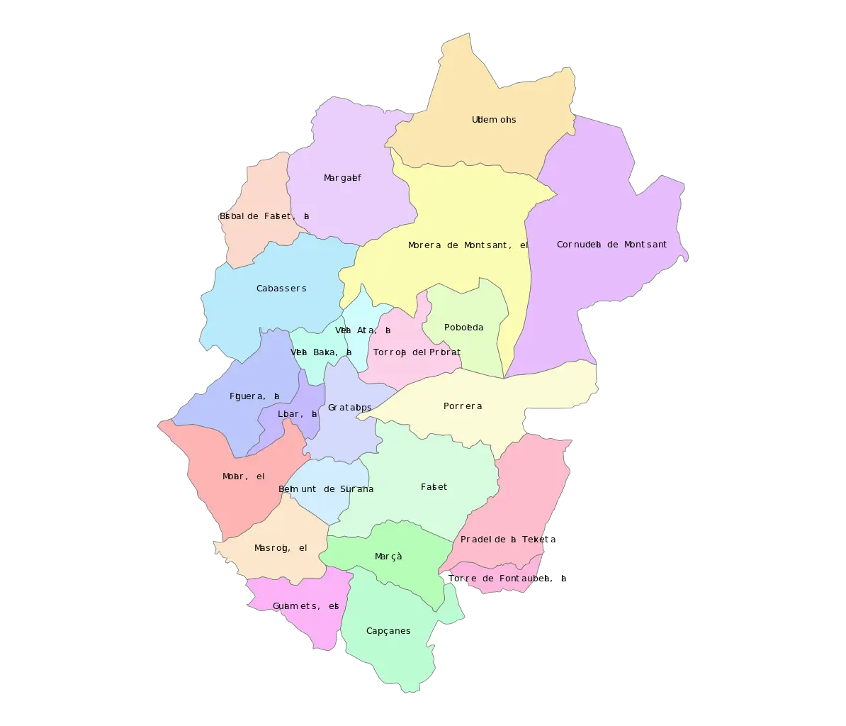
Color-Coded Map of Regional Divisions -

Blue Globe Illustration -
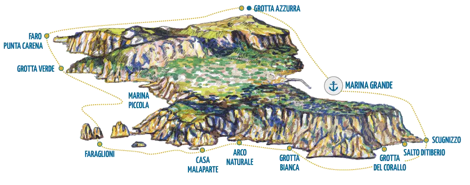
Illustrated Map of Capri Island -
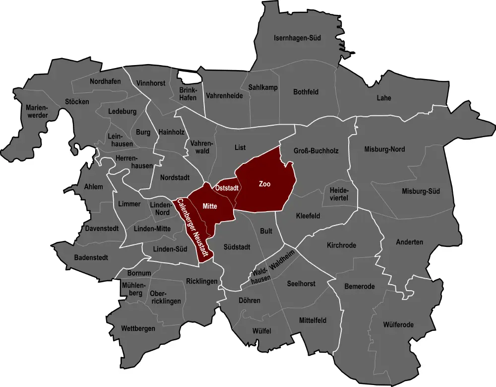
City Map with Highlighted Regions -

Network Globe Icon -
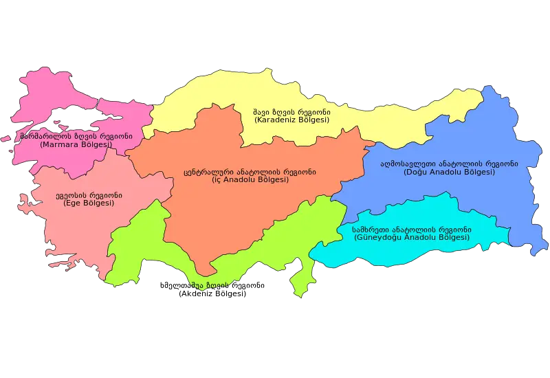
Colorful Regional Map of Turkey -

Earth Held in Hands Illustration -
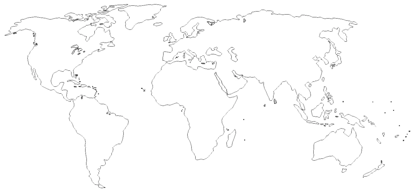
World Map Outline for Education and Mapping -

Abstract Globe with Network Connections -

Orange Globe Icon -

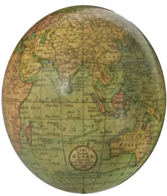
Explore the World with a Globe -

Digital Globe with Connected Lines