You Might Like
-

Colored Regional Map of Africa -
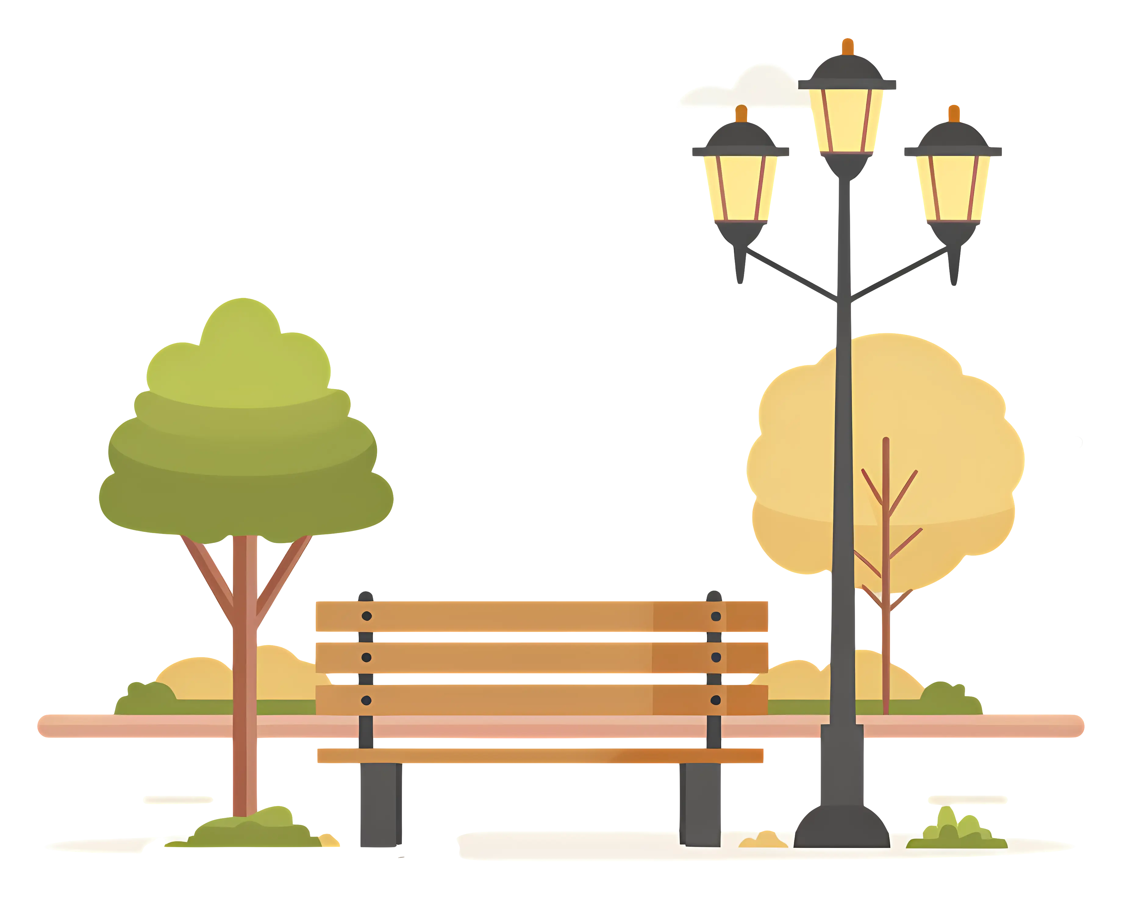
Park Bench with Lamp Post and Trees in the Background -
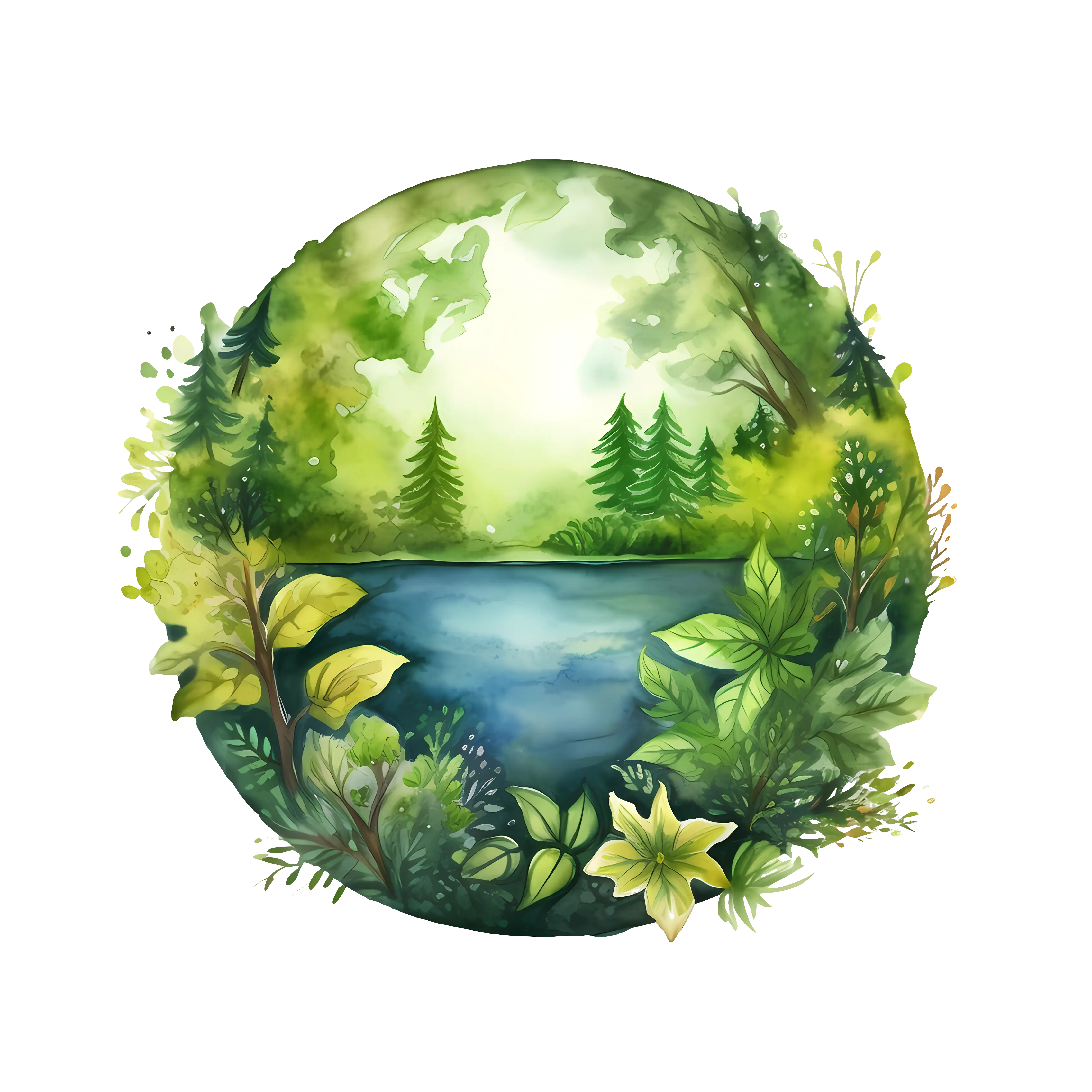
Beautiful Nature Scene with Lake and Forest -
Lush Green Tree Illustration -

Lush Green Bush Illustration -
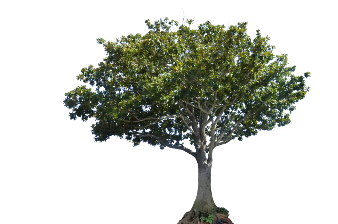
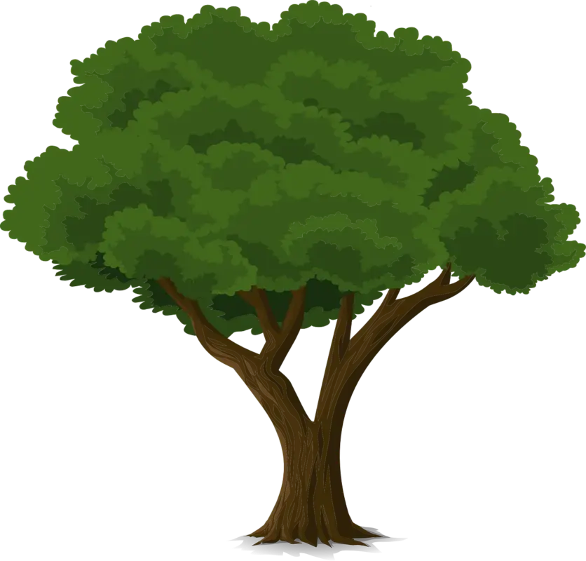
Broad-Spreading Tree with Elegant Canopy -

Blue Globe with Continents Illustration -

Blue Globe Model for Geography Learning -

Map of the Soviet Union with Highlighted Regions -
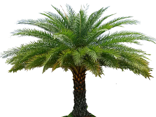
Beautiful Palm Tree with Green Leaves -
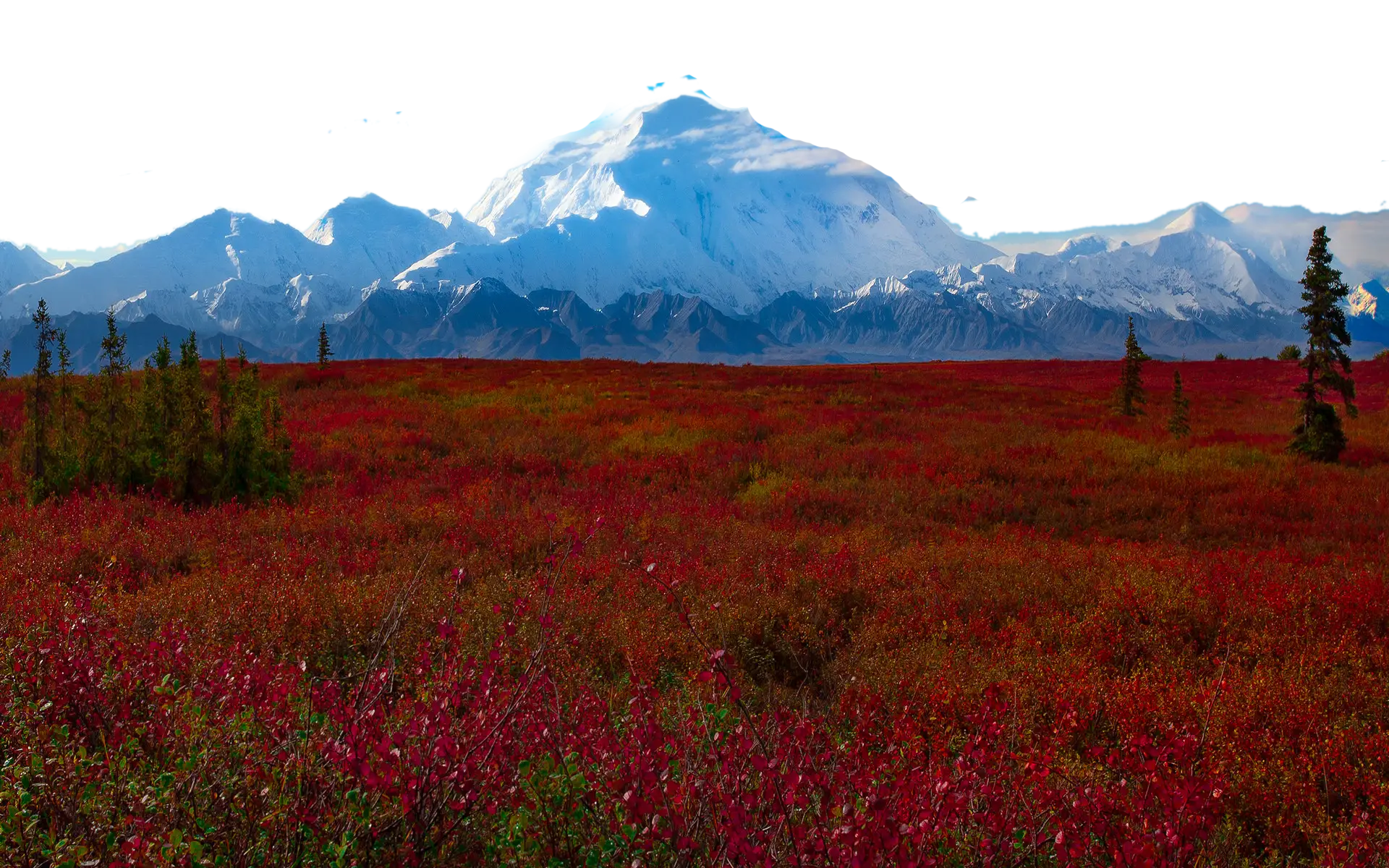
Snow-Capped Mountain Landscape -
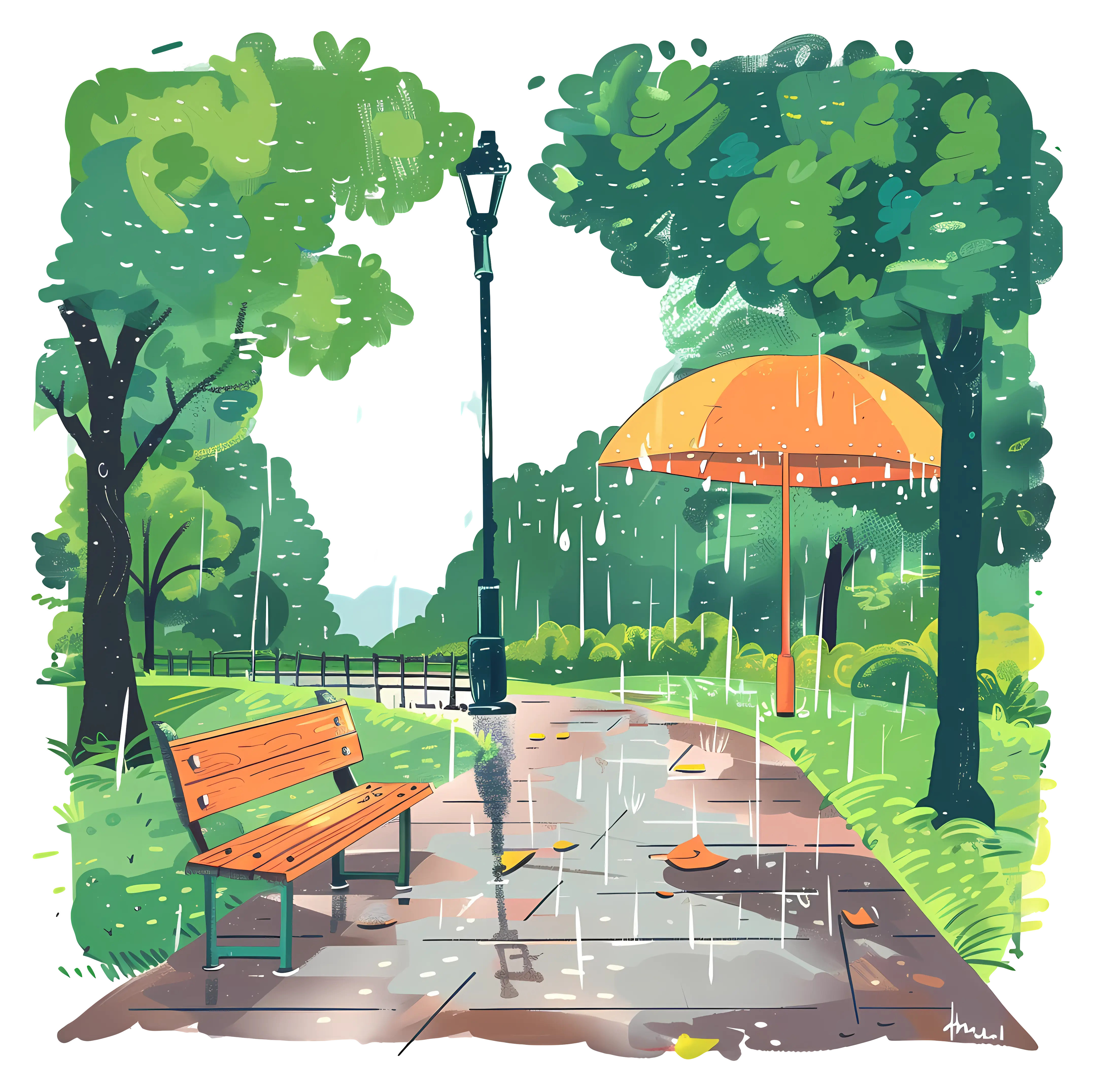
Rainy Day in the Park -

Cartoon Style Windmill in Countryside -
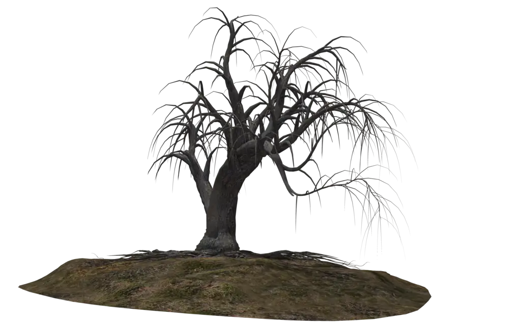
Barren Dead Tree on Soil -

Winter Landscape with Sunrise -

Black Compass Rose for Navigation and Mapping -

Complete Blue World Map -
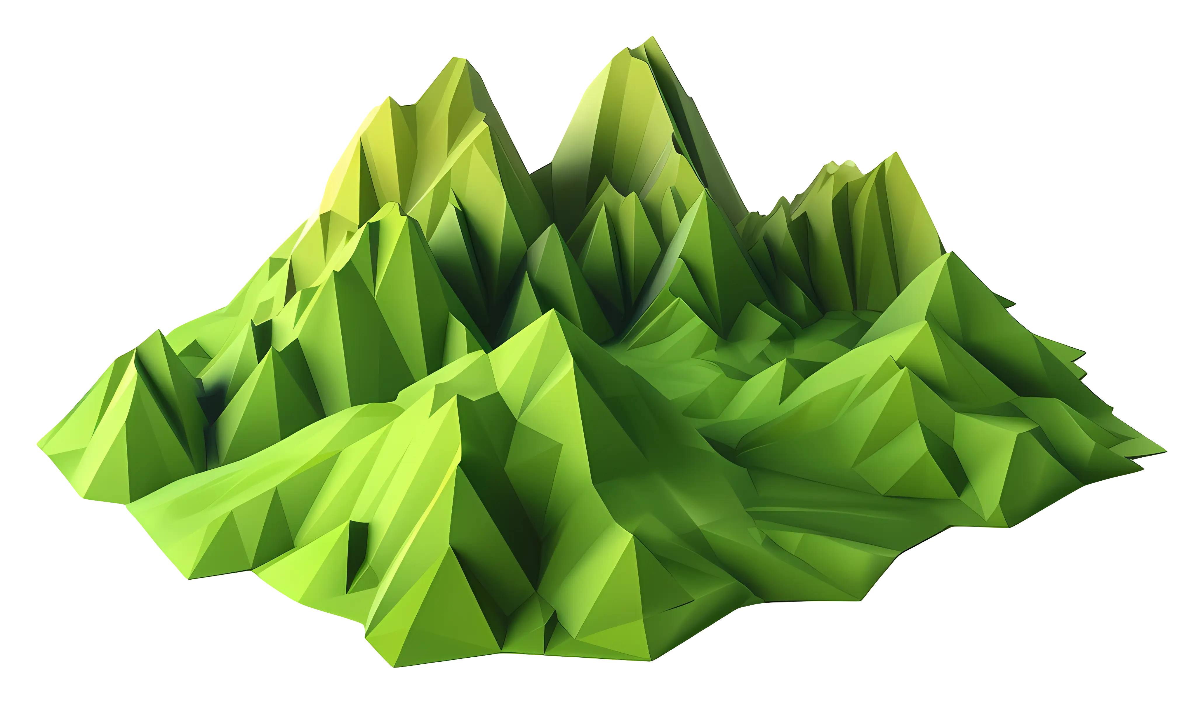
Polygonal Mountain Landscape -
Green Tree Illustration with Brown Trunk -
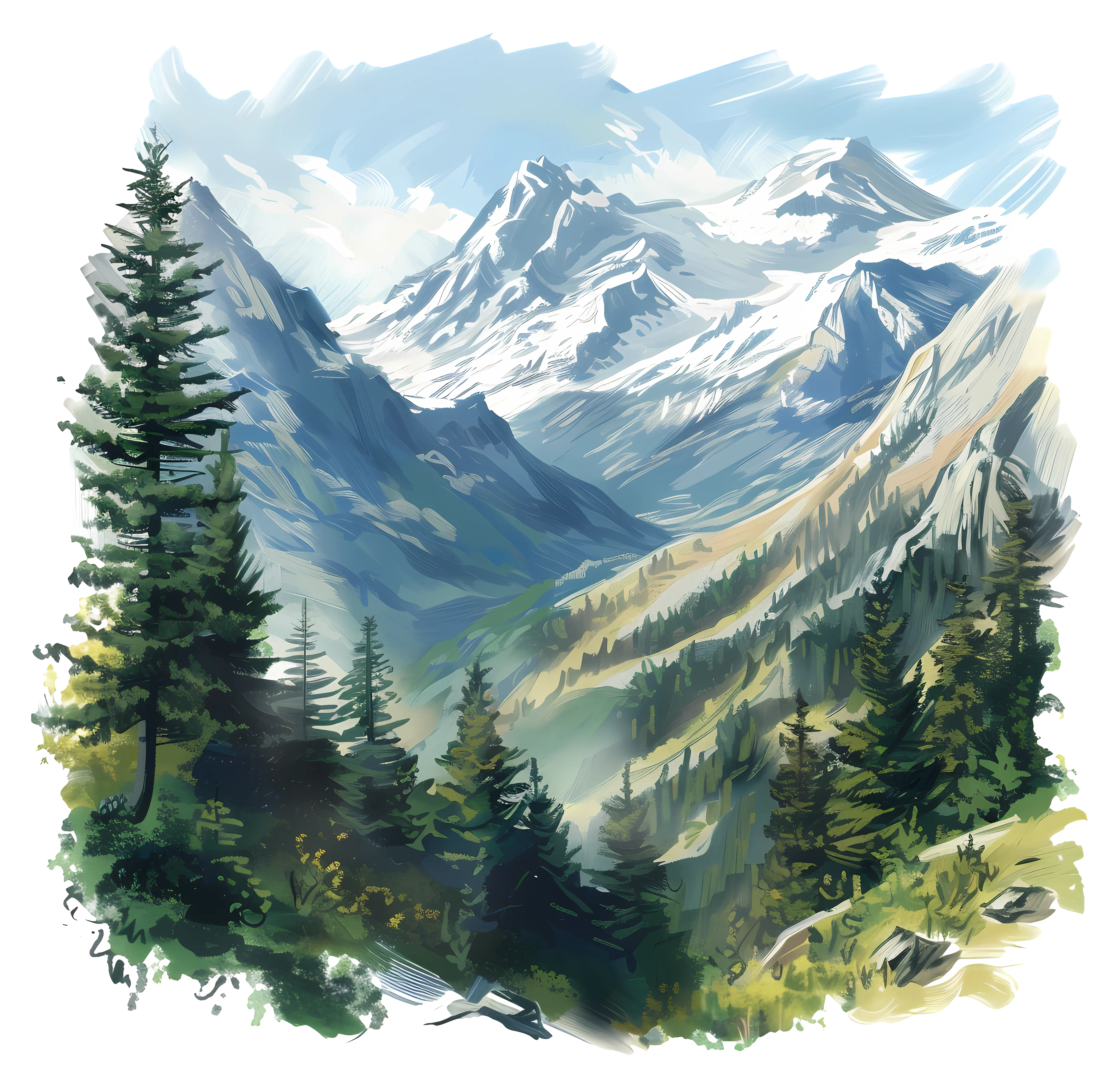
Serene Mountain Landscape Painting with Forest -

Golden Olive Oil Bottle with Fresh Olives -
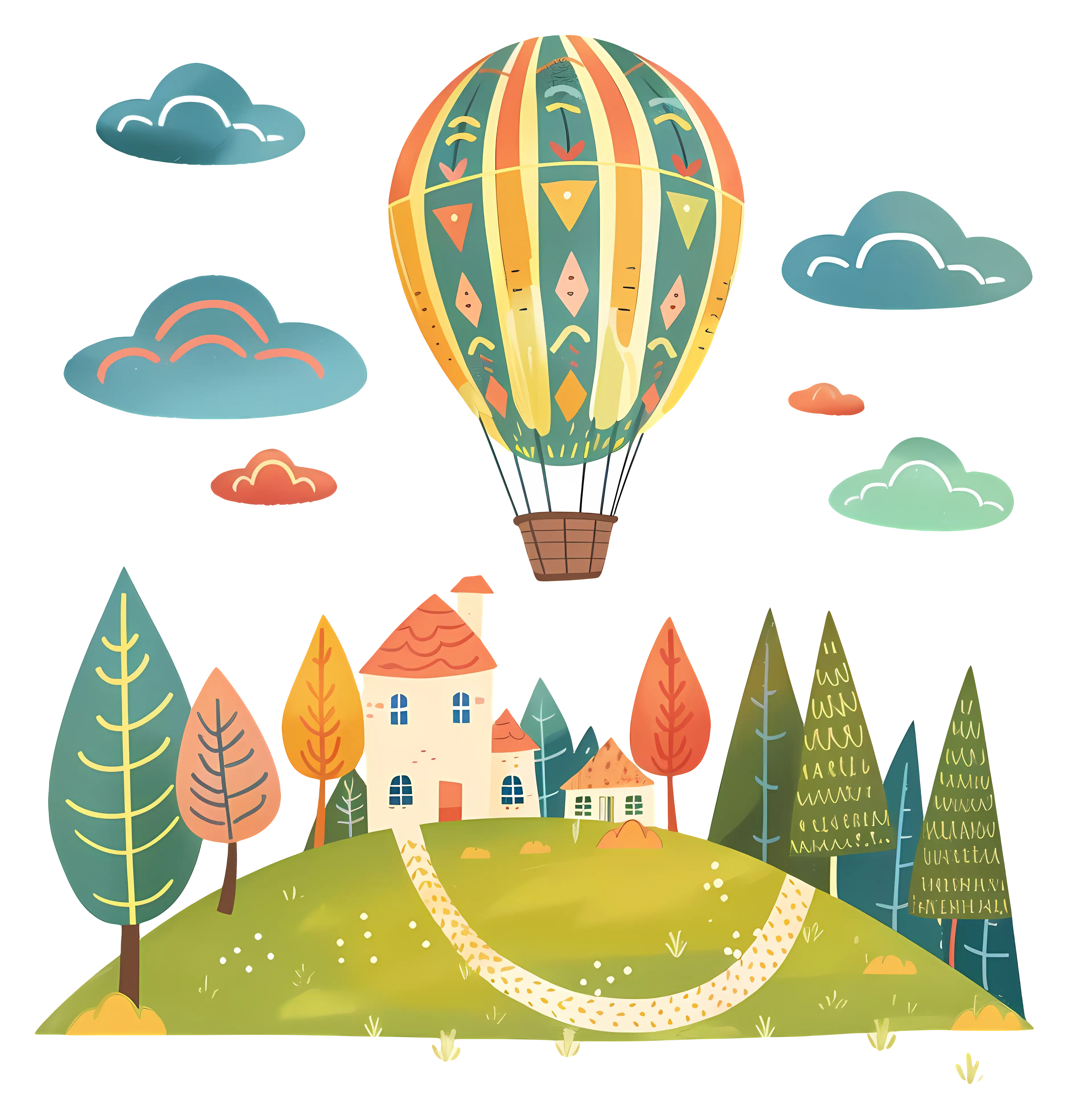
Hot Air Balloon Over Scenic Landscape -

Garden Bench Illustration in a Lush Park -

Black Region Silhouette Map -

Cartoon Cute House with Green Garden -

3D Globe Illustration of Earth Model -

Green Land Map Outline -

Spaghetti with Tomato Sauce on a Plate -

Map Highlighting Specific Regions -

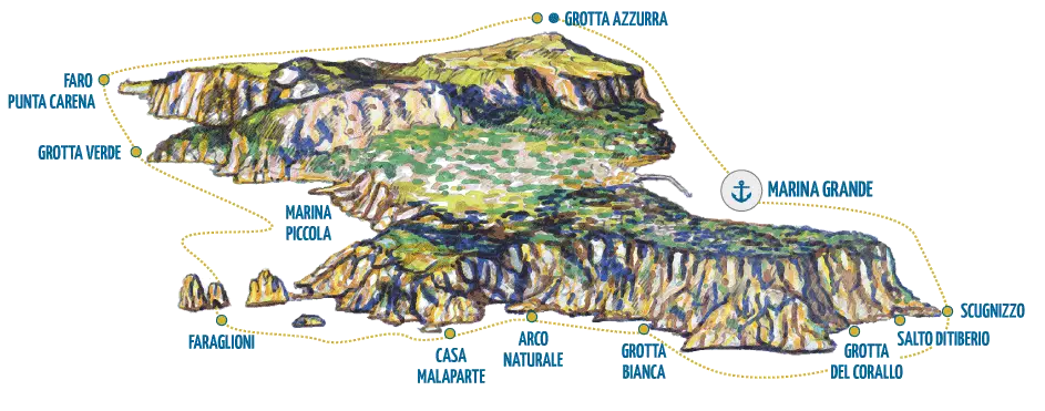
Map of Turkey with Major Cities and Regions