Free Cartography Cliparts and Illustrations
Free 60 cartography cliparts & illustrations for your personalized works, such as orange map of a country, black compass rose for navigation and mapping, map of the roman empire, blue globe with continents illustration and many more.
-
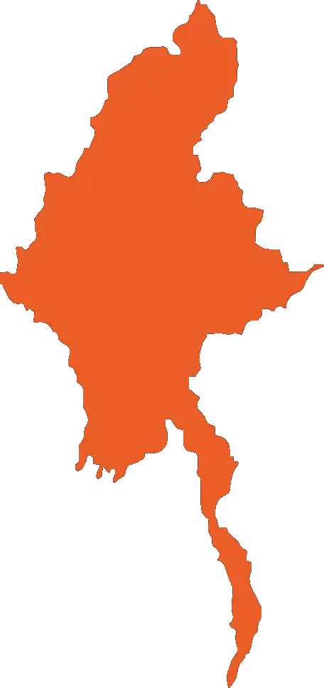
Orange Map of a Country -

Black Compass Rose for Navigation and Mapping -
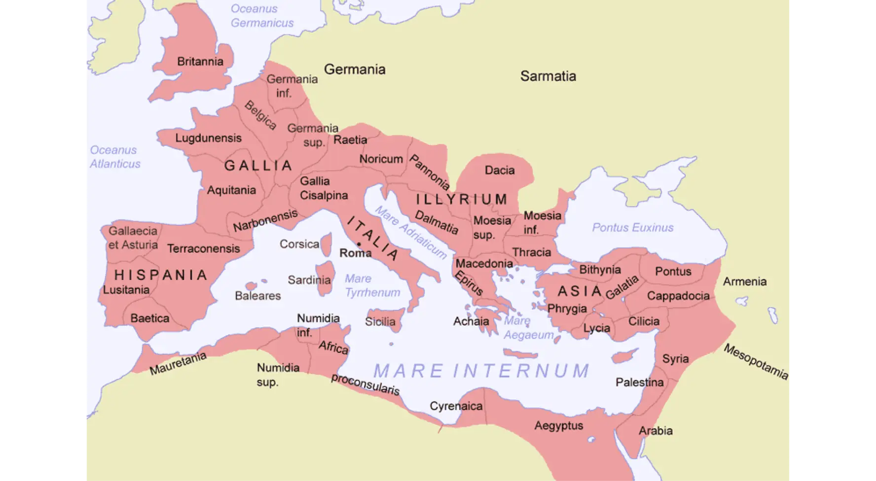
Map of the Roman Empire -

Blue Globe with Continents Illustration -

Blue Globe Model for Geography Learning -

Black Region Silhouette Map -

Green Land Map Outline -

Transparent World Map Design -

Silhouette Globe Design with Continental Map -

Map Outline of Slovenia -

Gray Map Silhouette on Transparent Background -
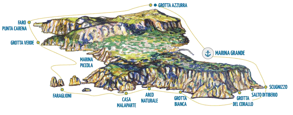
Illustrated Map of Capri Island -
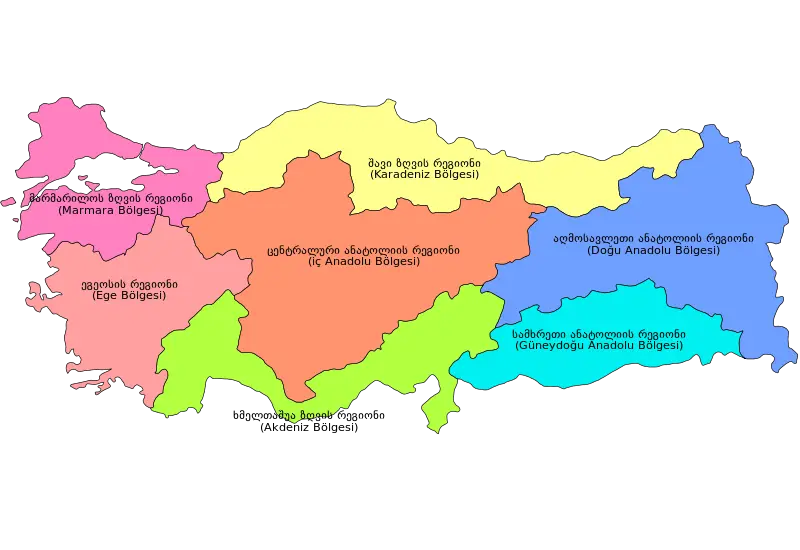
Colorful Regional Map of Turkey -
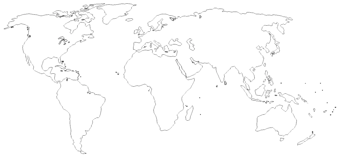
World Map Outline for Education and Mapping -
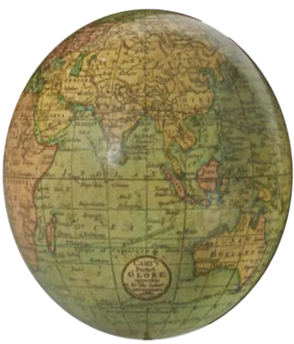
Antique Vintage World Globe Map -
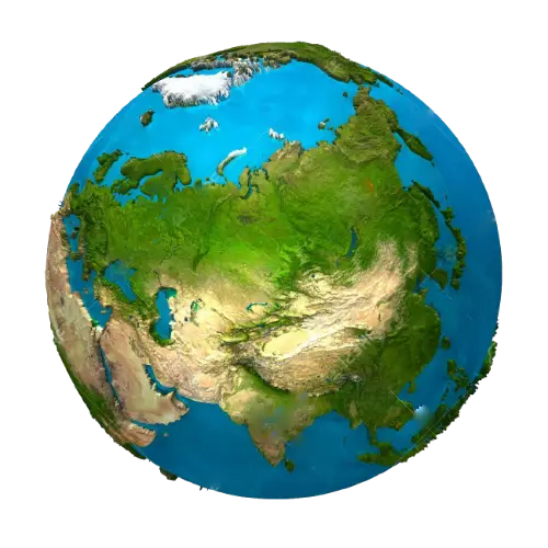
3D Globe Illustration of Earth -
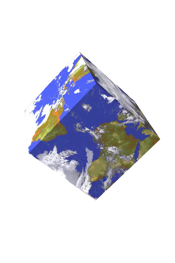
3D Earth Cube Model -

Germany Map with Flag Colors -
Blue World Map Illustration -
Geographic Region Map with Highlighted Area -
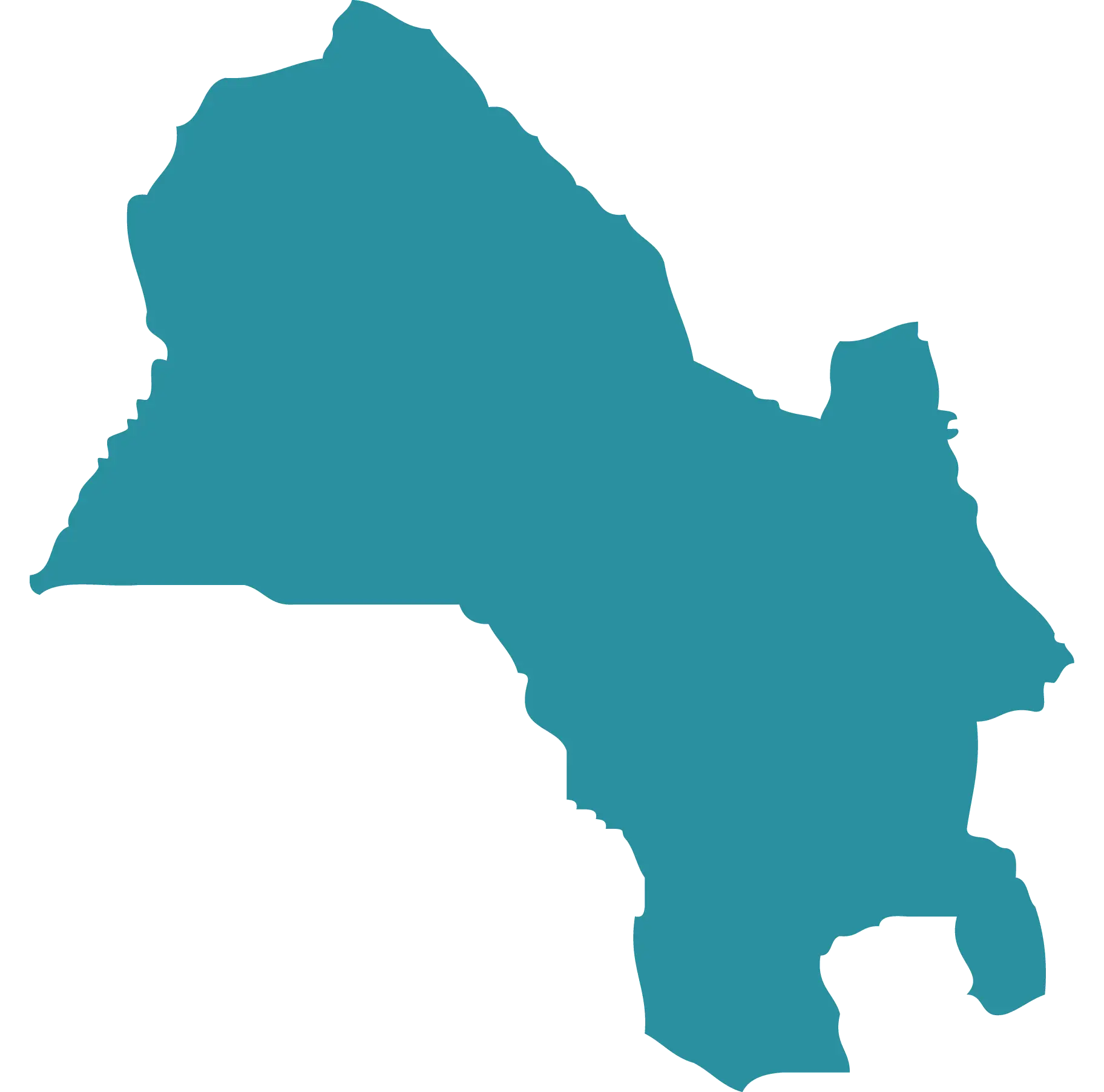
Blue Map Silhouette of a Region -
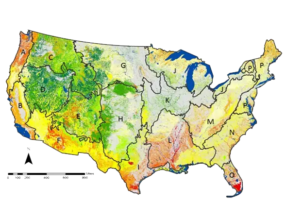
Map of USA with Geographical Details -
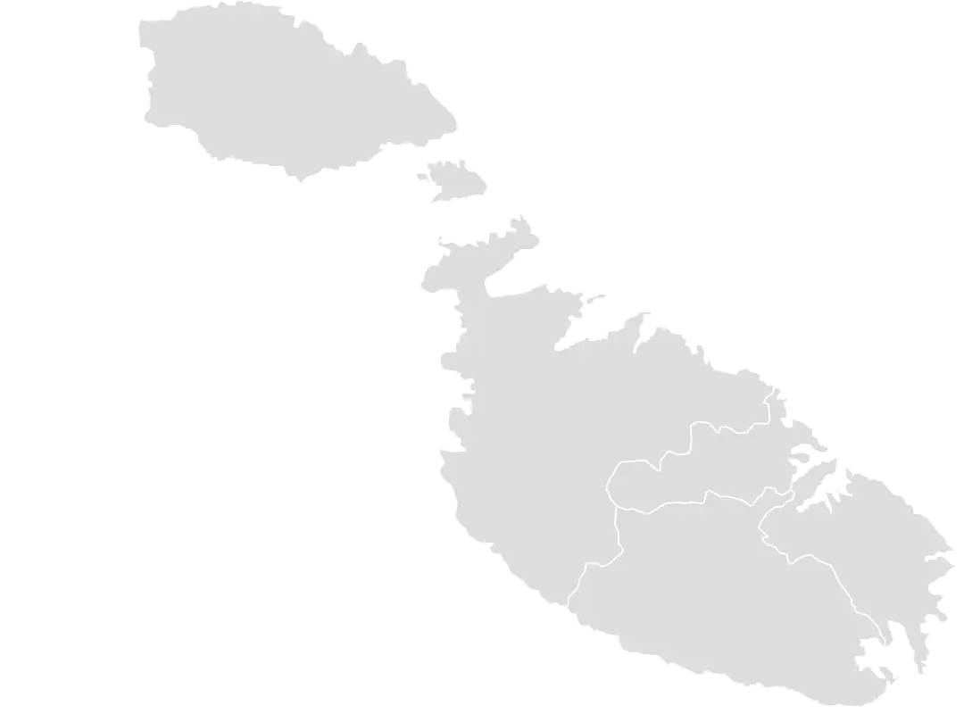
Map of Malta -
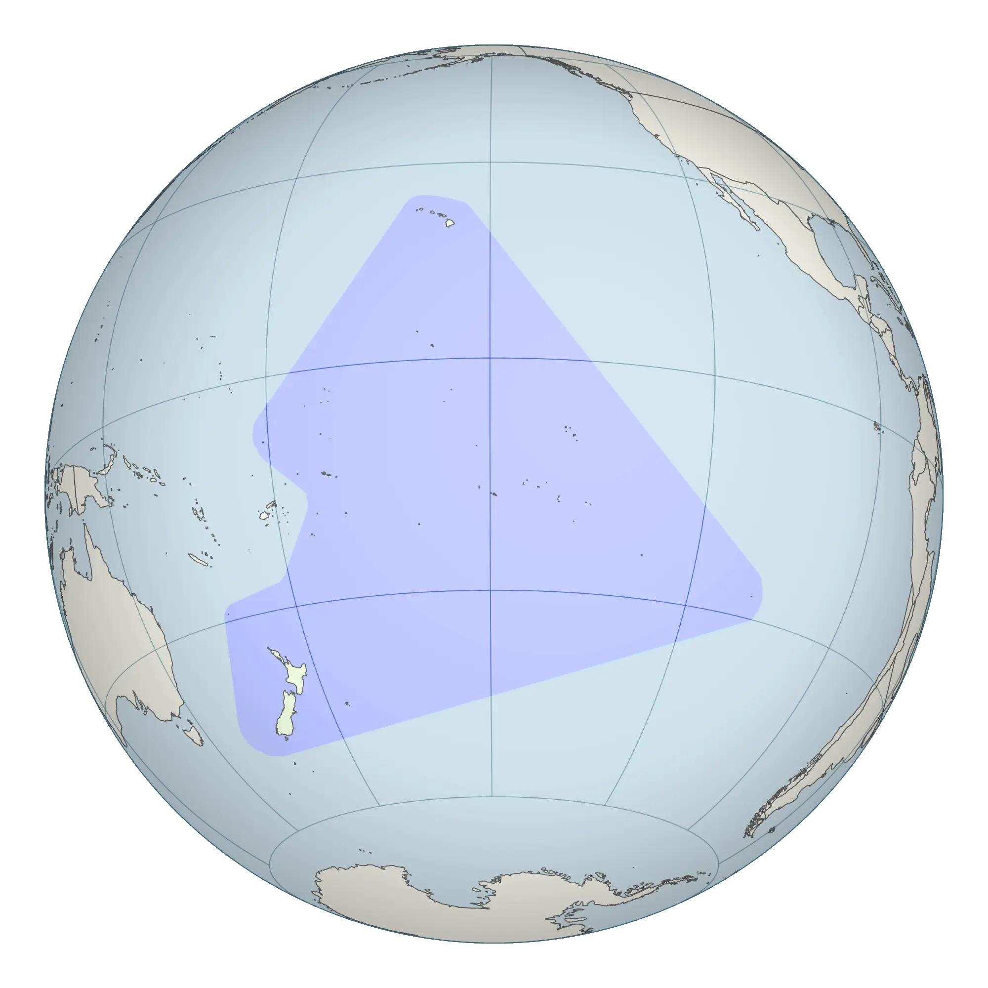
Globe Highlighting Pacific Region -
World Globe Map Depicting Continents and Countries -
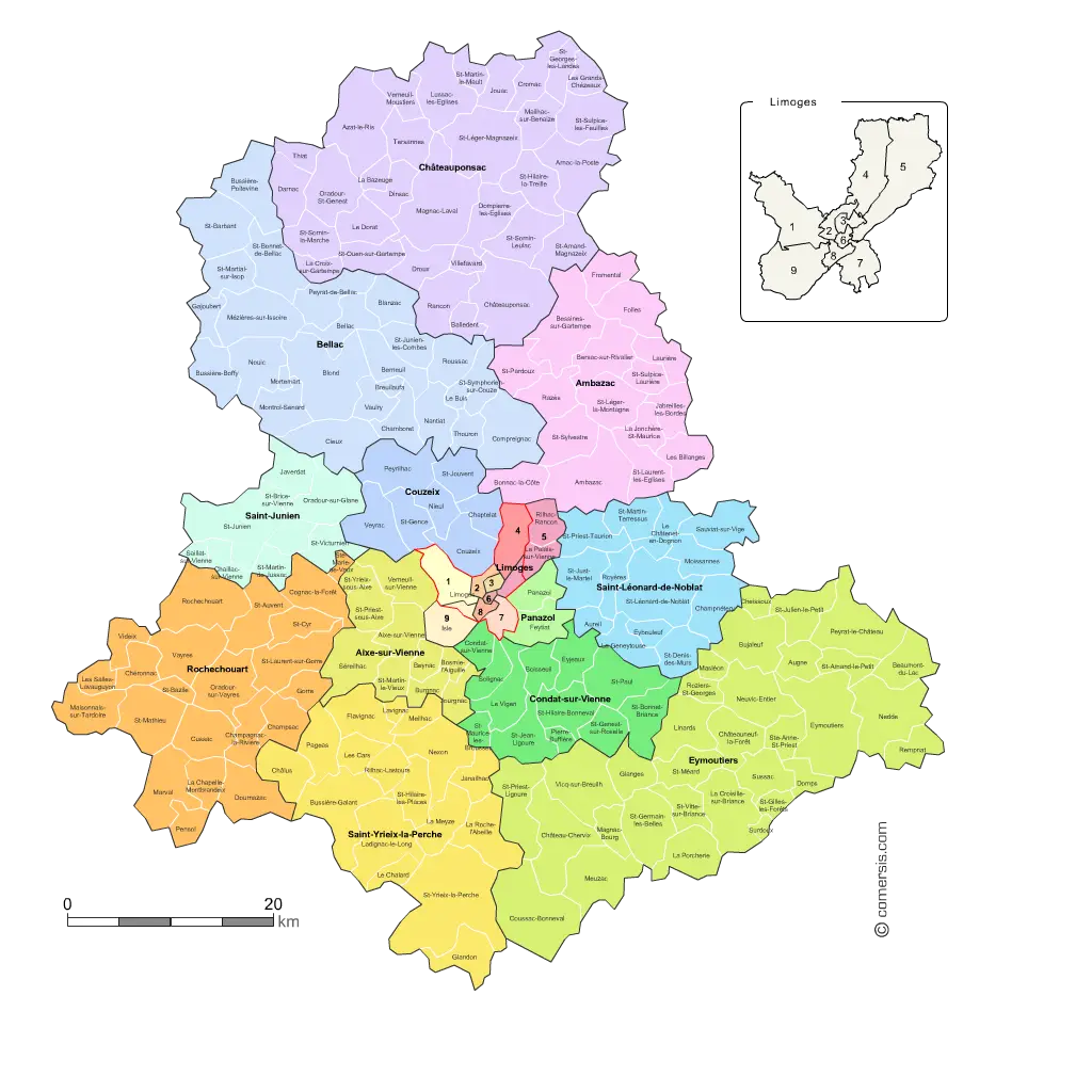
Colorful City Map -

Colored Regional Map of Africa -

Complete Blue World Map -

Map of Turkey with Major Cities and Regions -

Colorful World Map Globe Representation -

Classic Compass Rose Navigation Symbol -
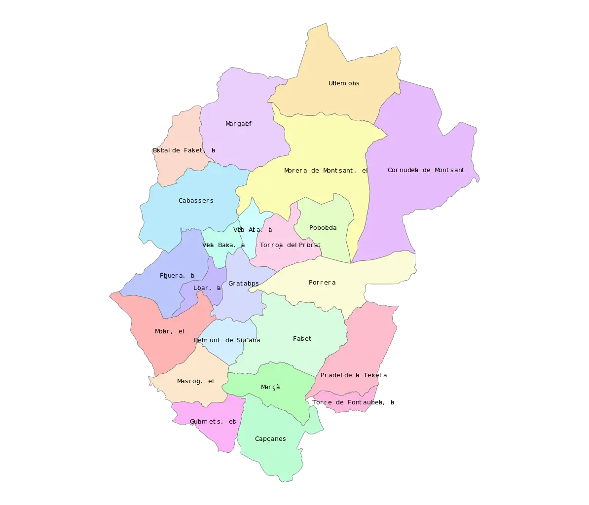
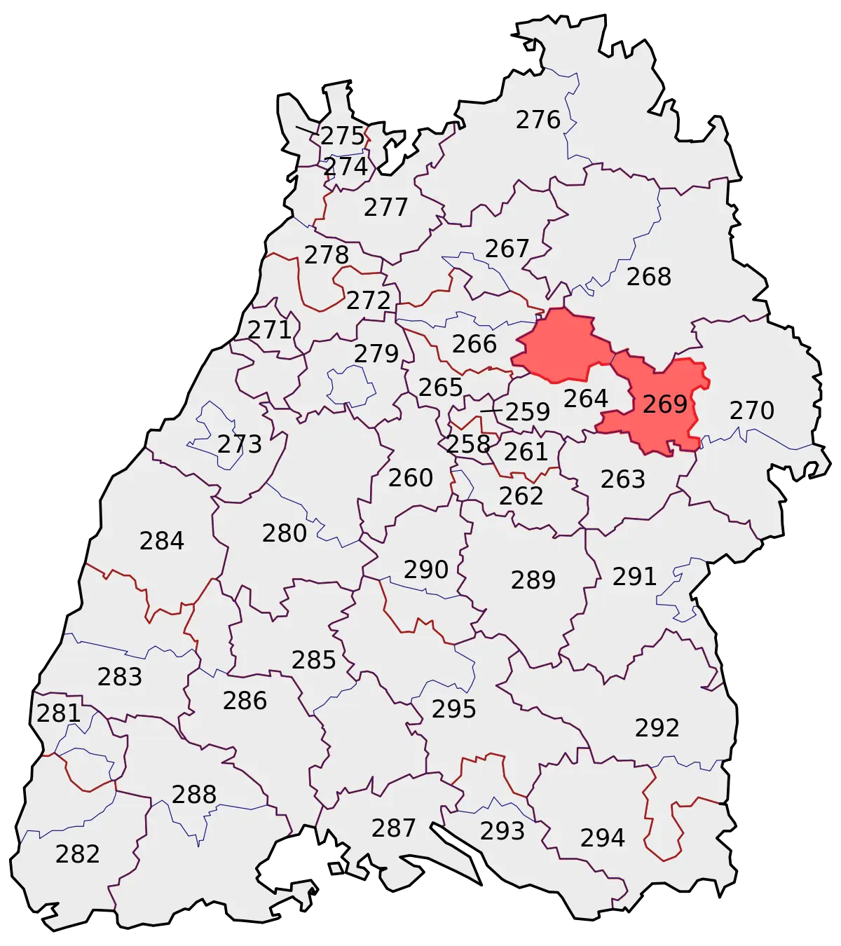
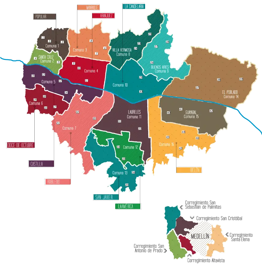
Color-Coded Map of Regional Divisions -
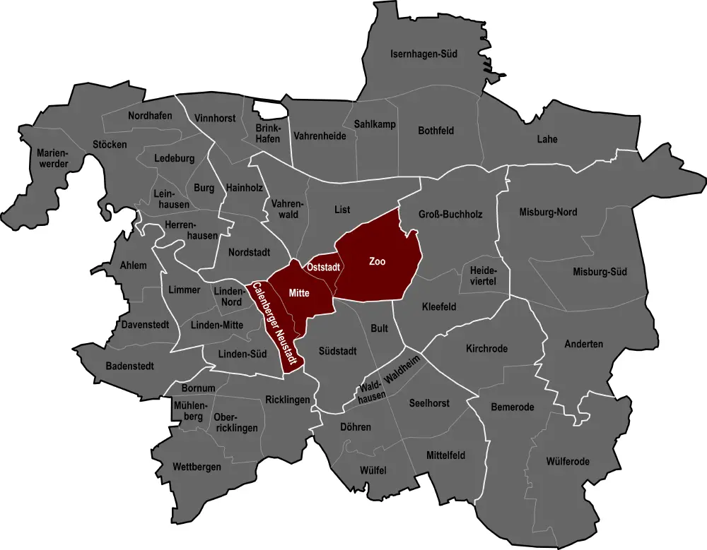
City Map with Highlighted Regions -
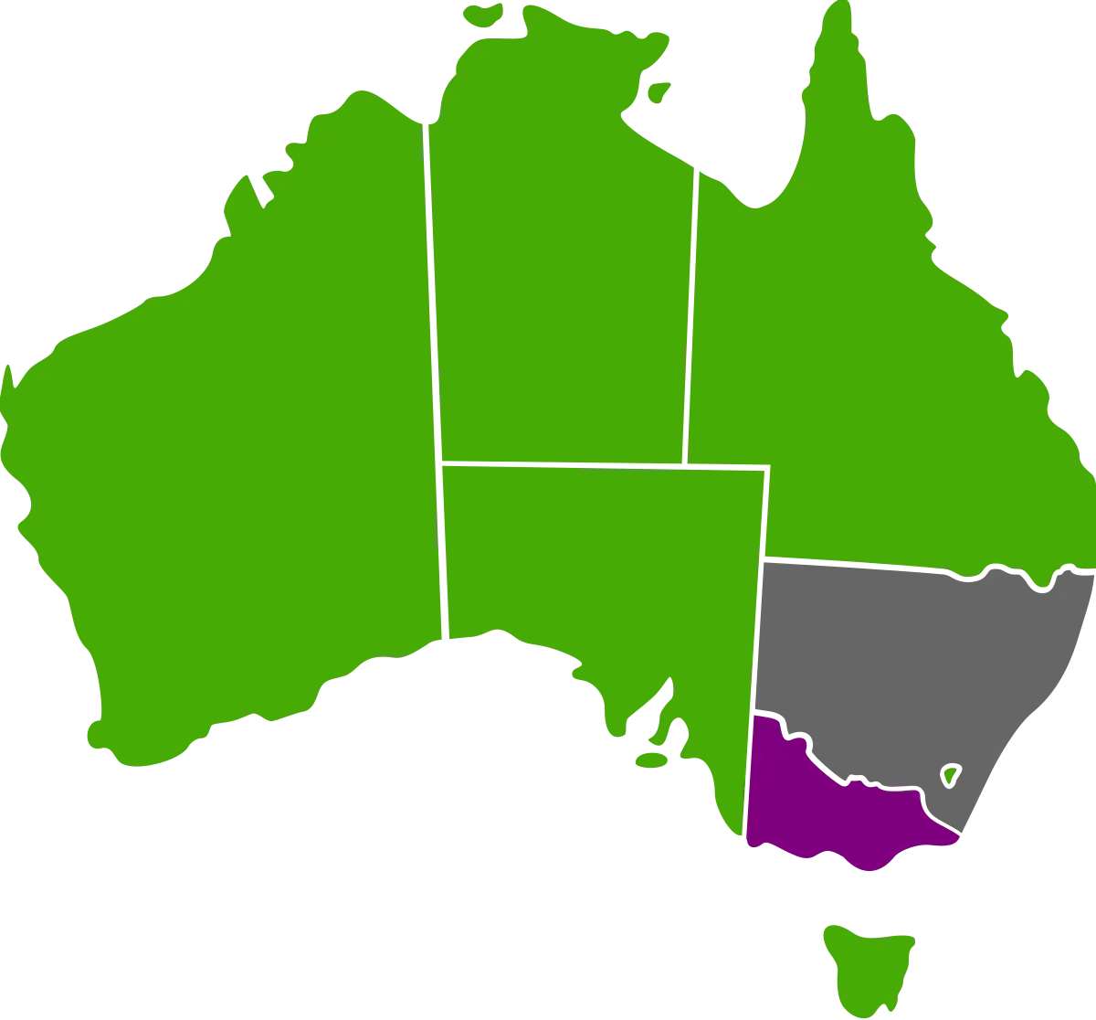
Australian Map with Regional Color Variations -

Outline Map of Africa -
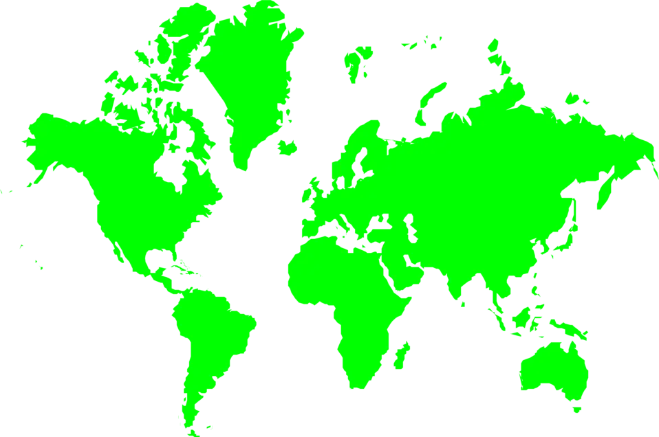
Green World Map Illustration -
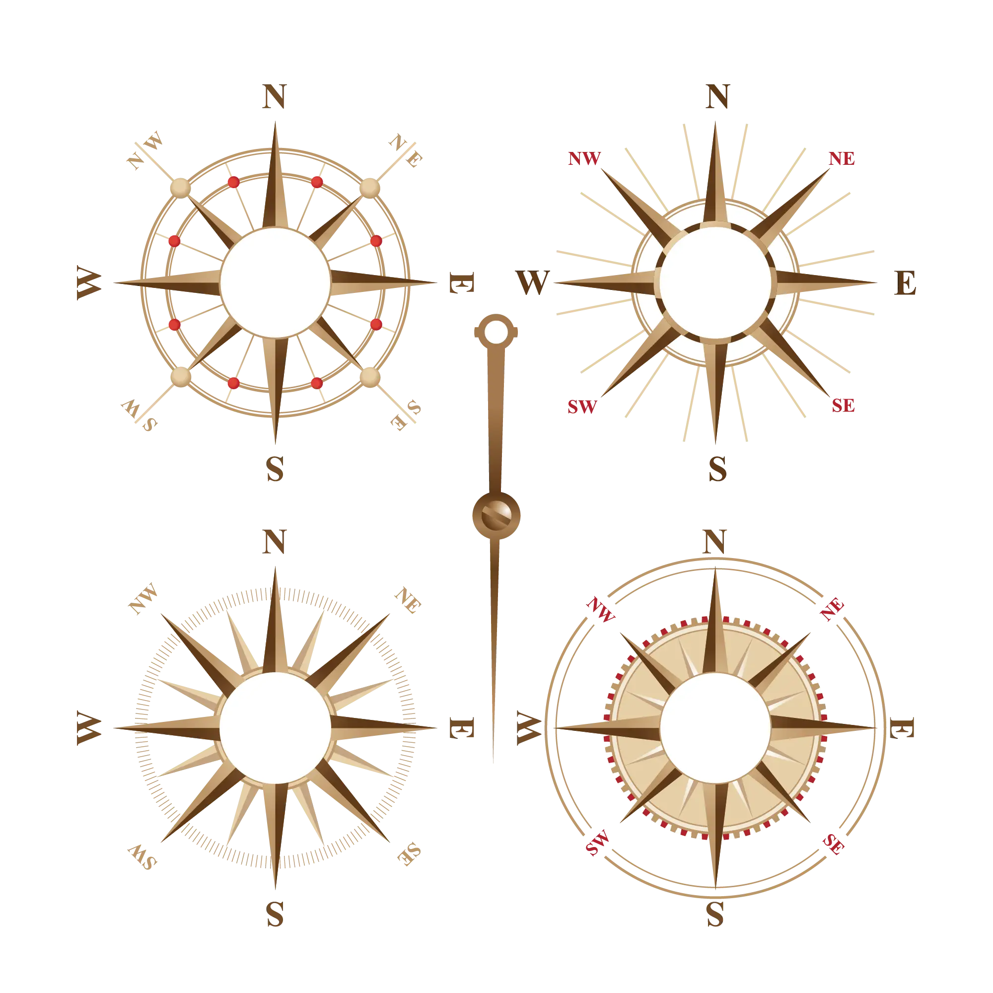
Compass Roses for Navigation -
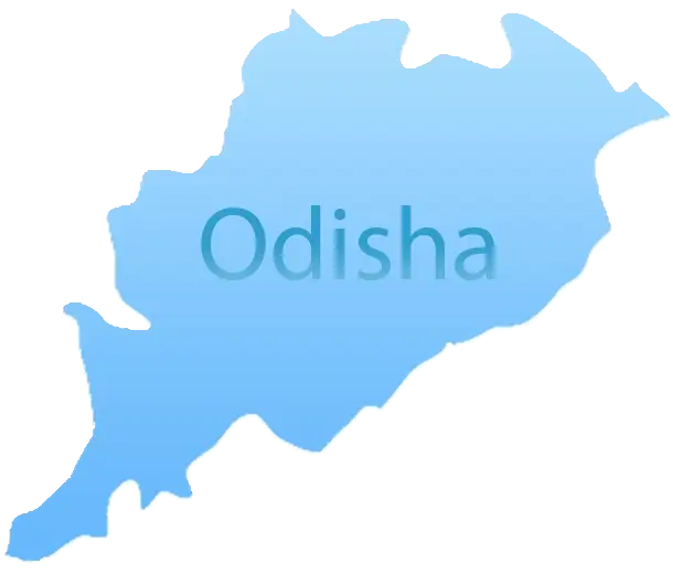
Blue Map of Odisha -
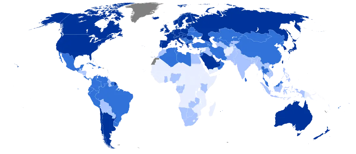
Colored World Map for Geographic Representation -
Colored USA Map with State Divisions -
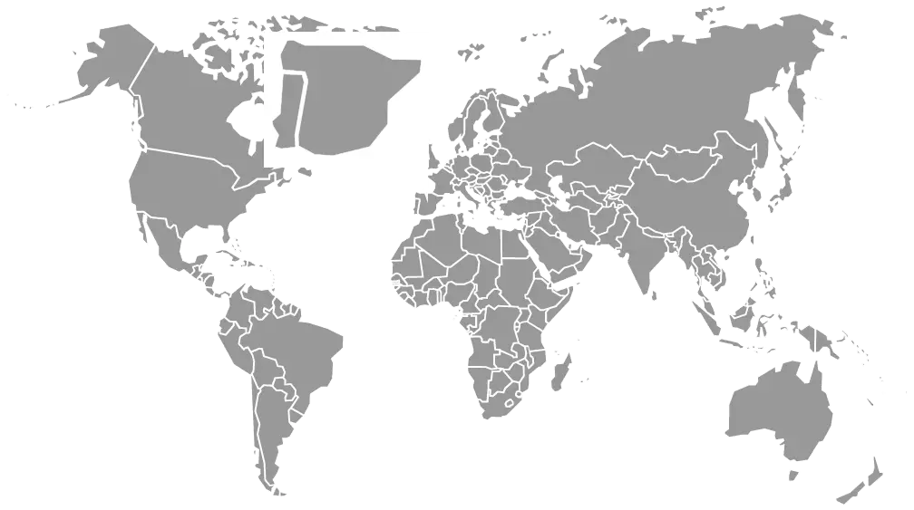
Gray World Map Illustration -
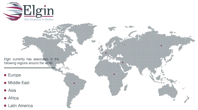
World Map with Locations -
Colorful Regional Map Representation -
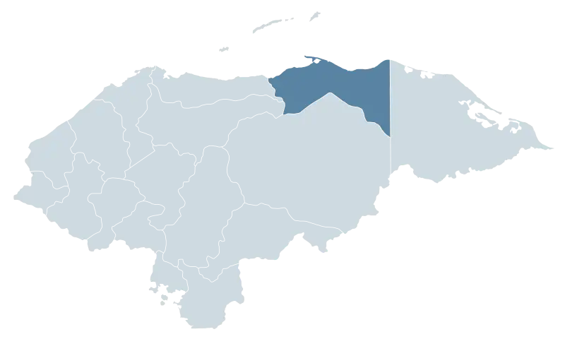
Map Highlighting Honduras Region -

World Map with Lines -
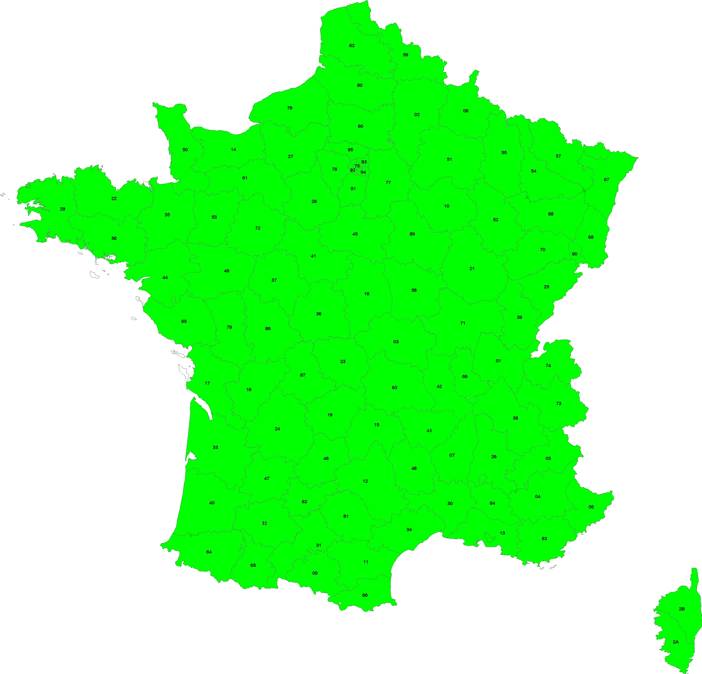
Green Map of France -
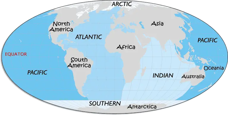
World Map with Continents and Oceans -

Flat Location Pin Symbols for Maps -
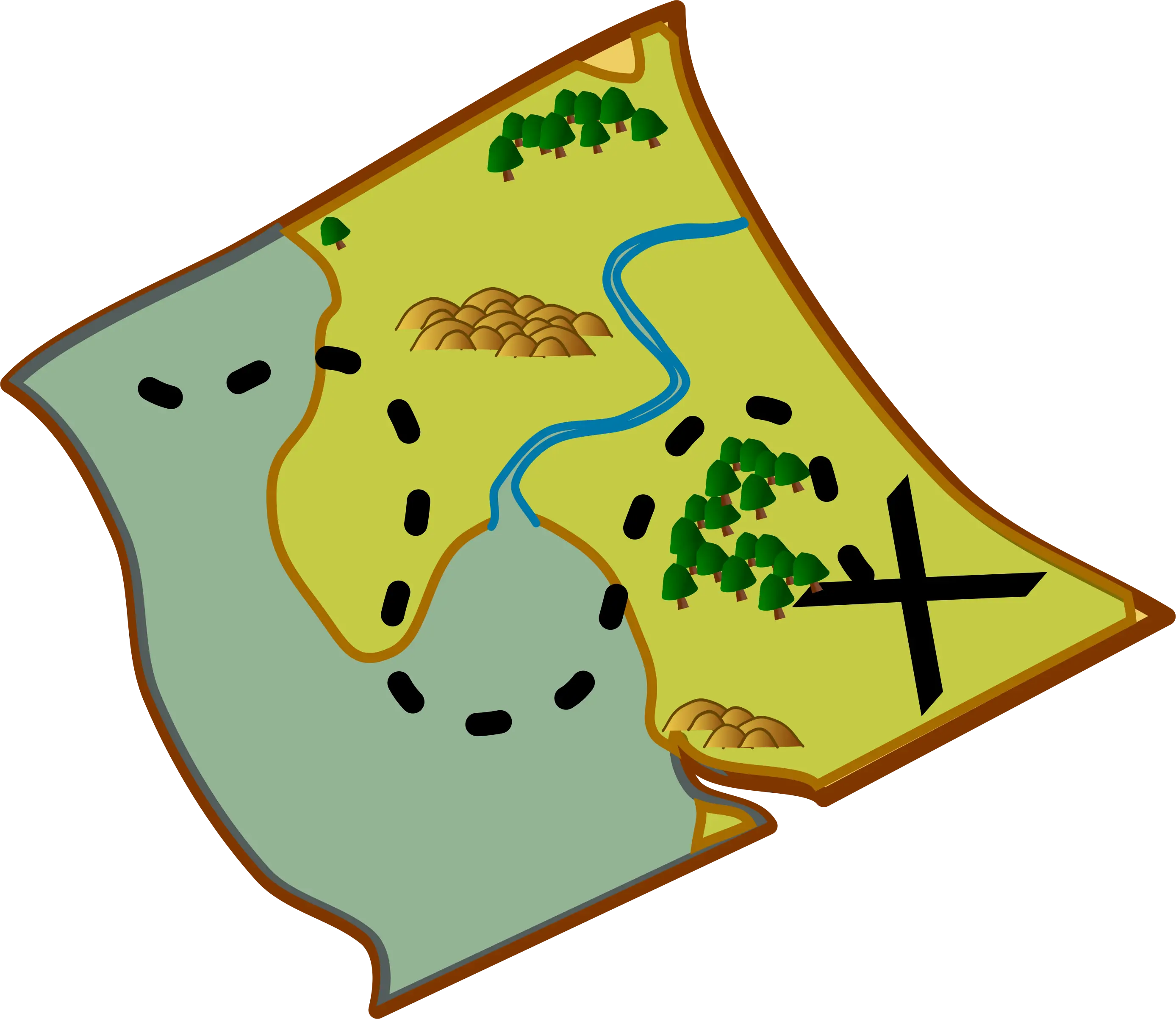
Treasure Map with X Marked for Adventure -

Christmas Island Map with Flag Overlay