Free Provinces Cliparts and Illustrations
Free 19 provinces cliparts & illustrations for your personalized works, such as map of the roman empire, cambodia country map outline with provincial divisions, yellow regional map, map of argentina highlighting specific regions and many more.
-
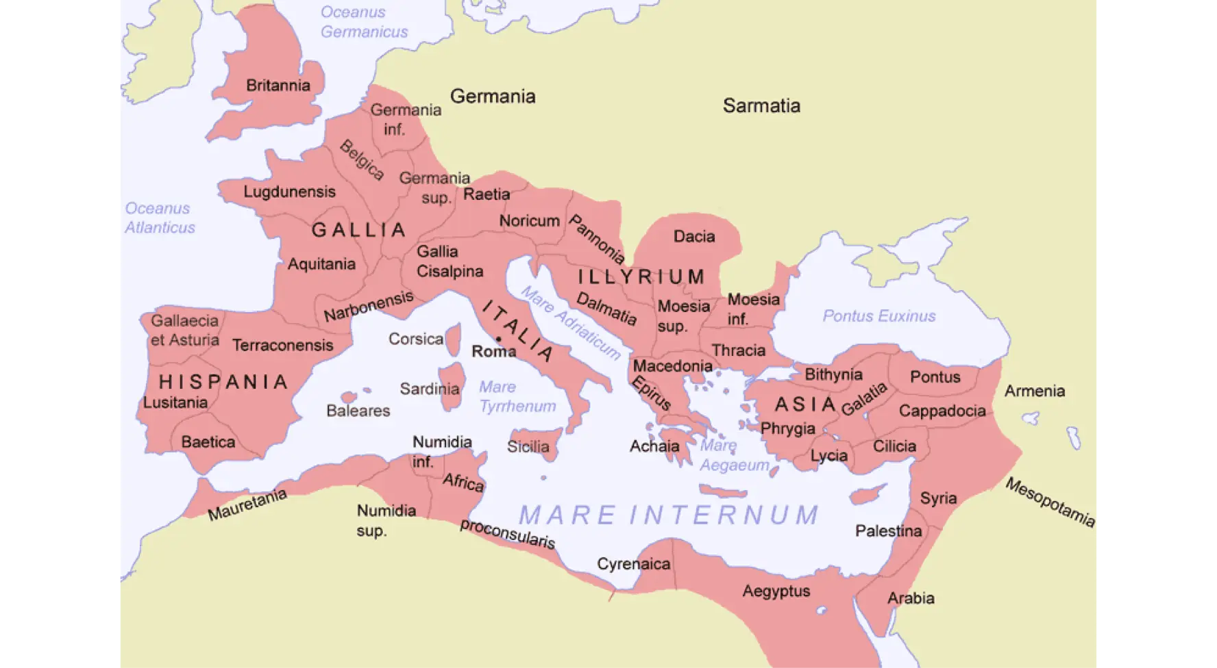
Map of the Roman Empire -

Cambodia Country Map Outline with Provincial Divisions -
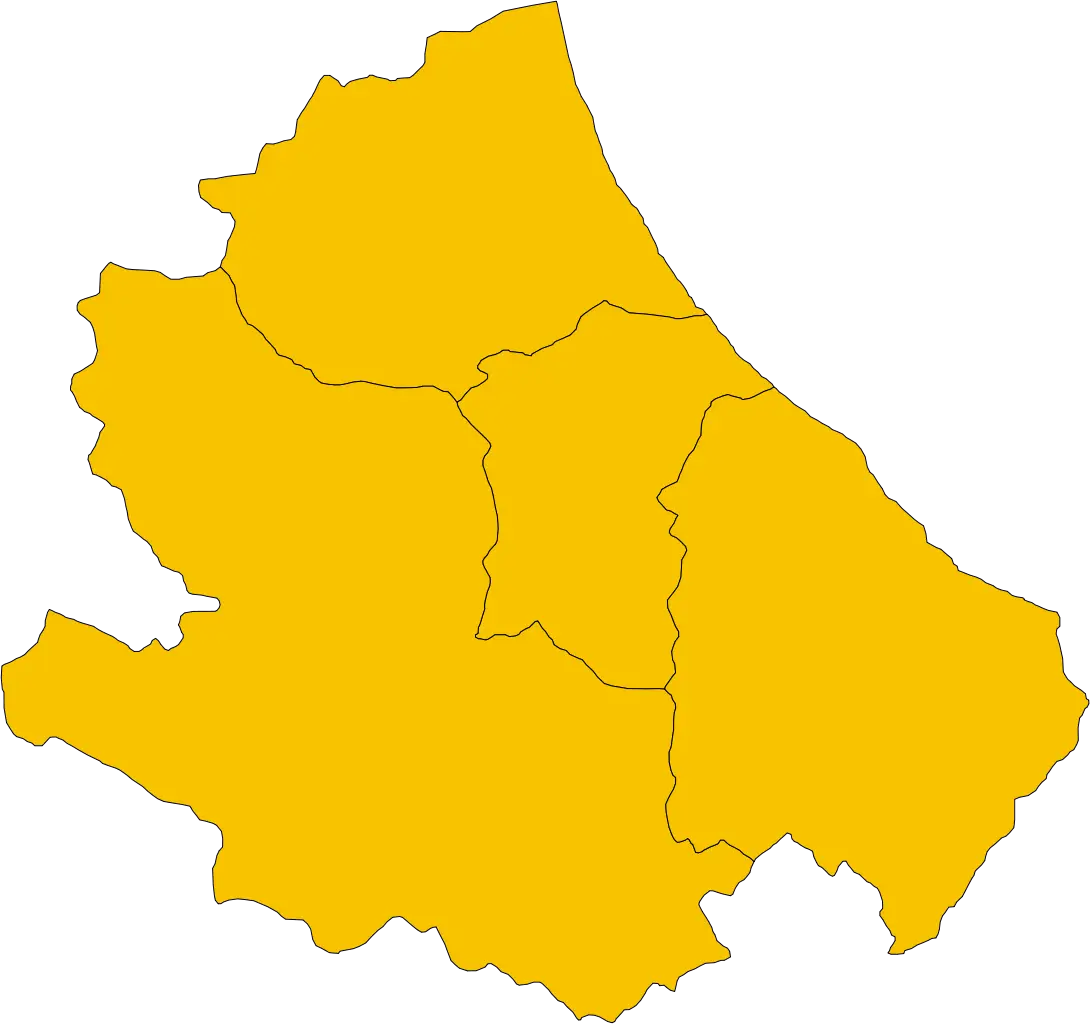
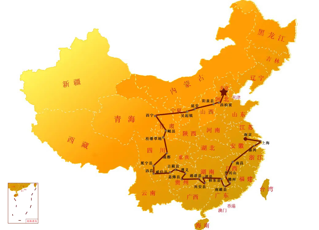
Yellow Regional Map -
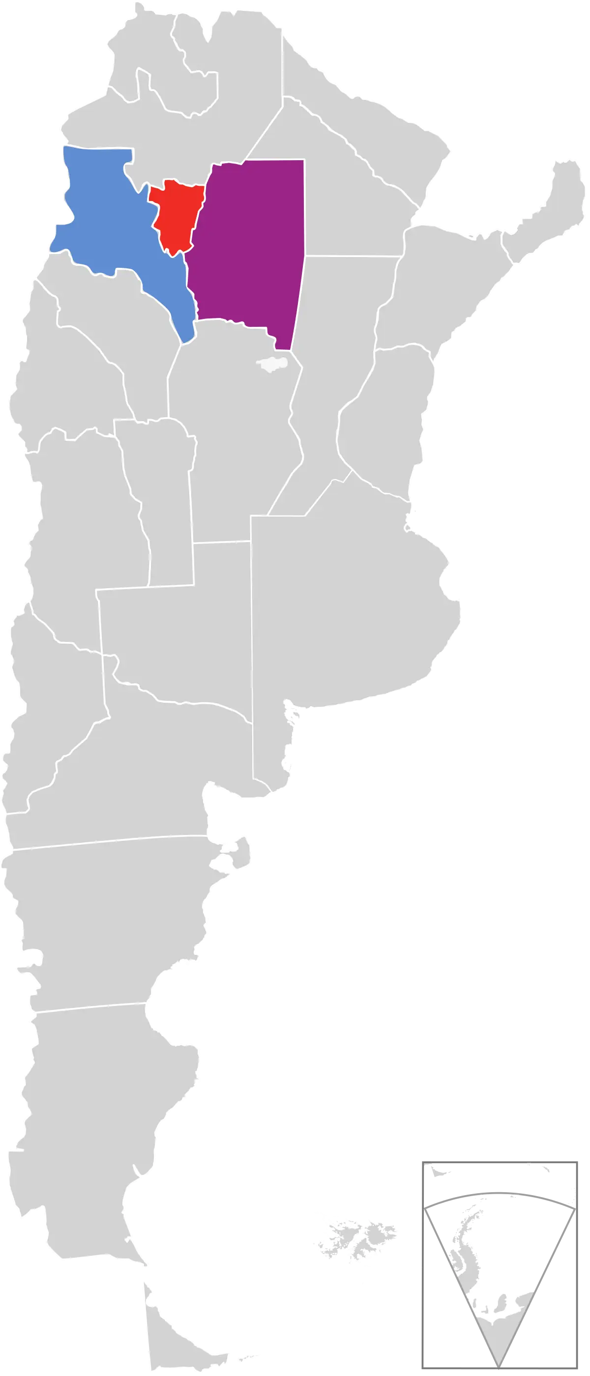
Map of Argentina Highlighting Specific Regions -
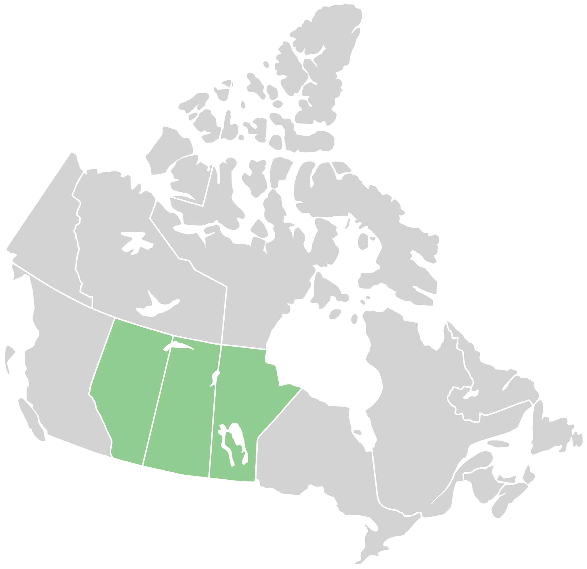
Map Highlighting Canada Prairie Provinces -
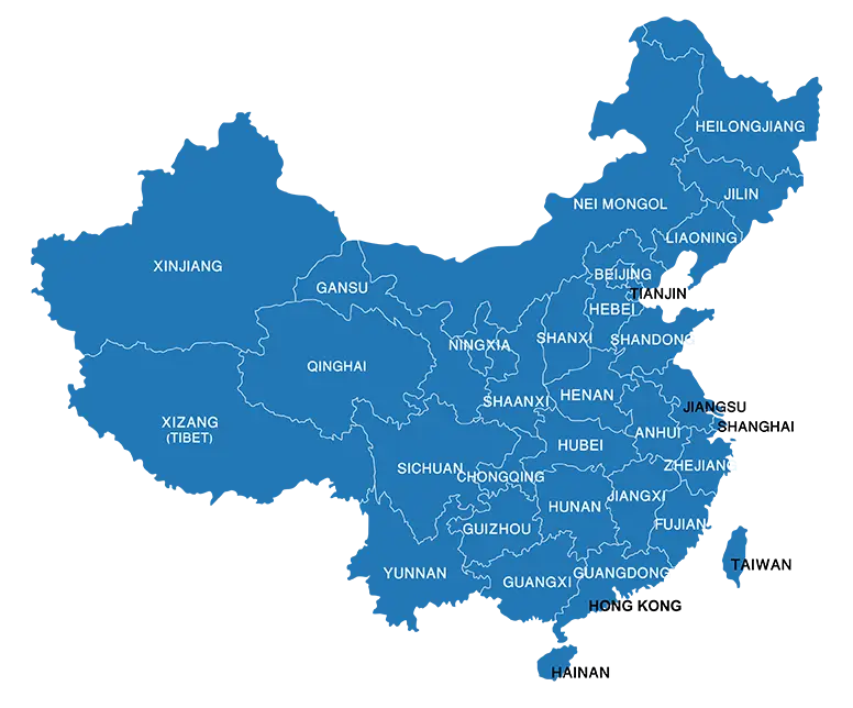
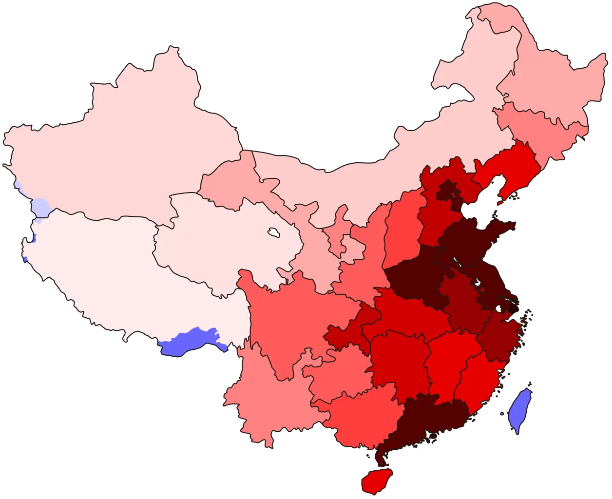
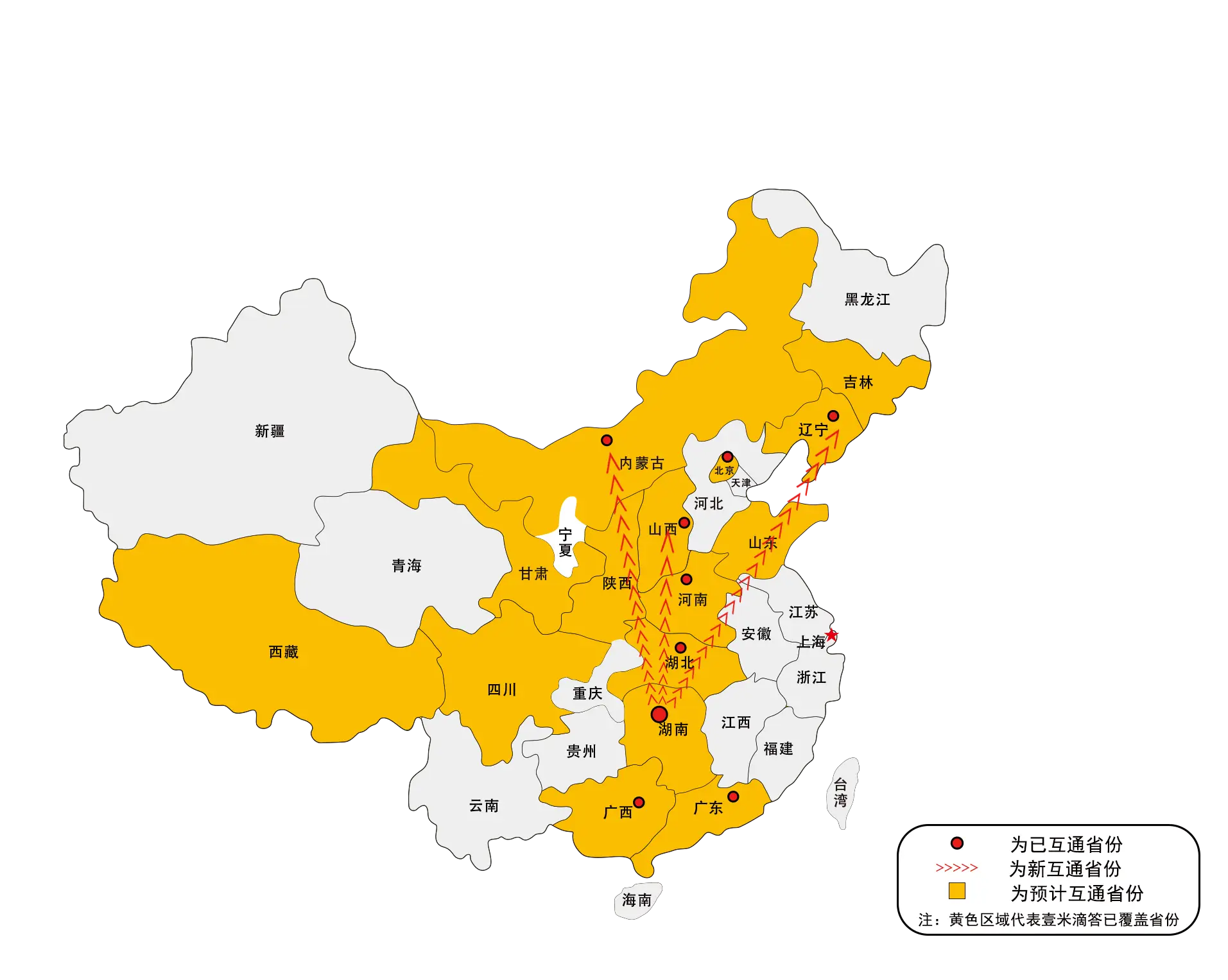
Blue Map of China with Provincial Divisions -

Map of Turkey with Major Cities and Regions -
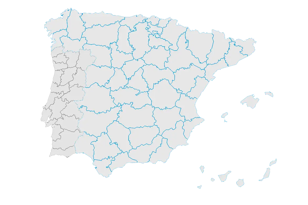
Geographical Map of Spain with Rivers -
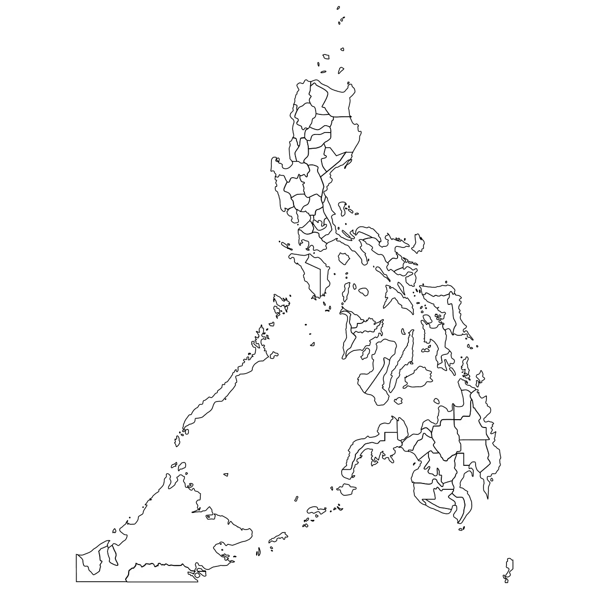
Outline Map of the Philippines -
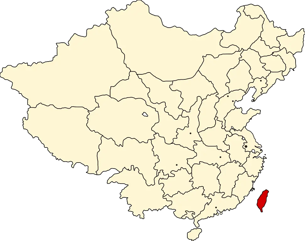
China Map Highlighting Taiwan in Red -
Map of China -
Map of China with Regions -
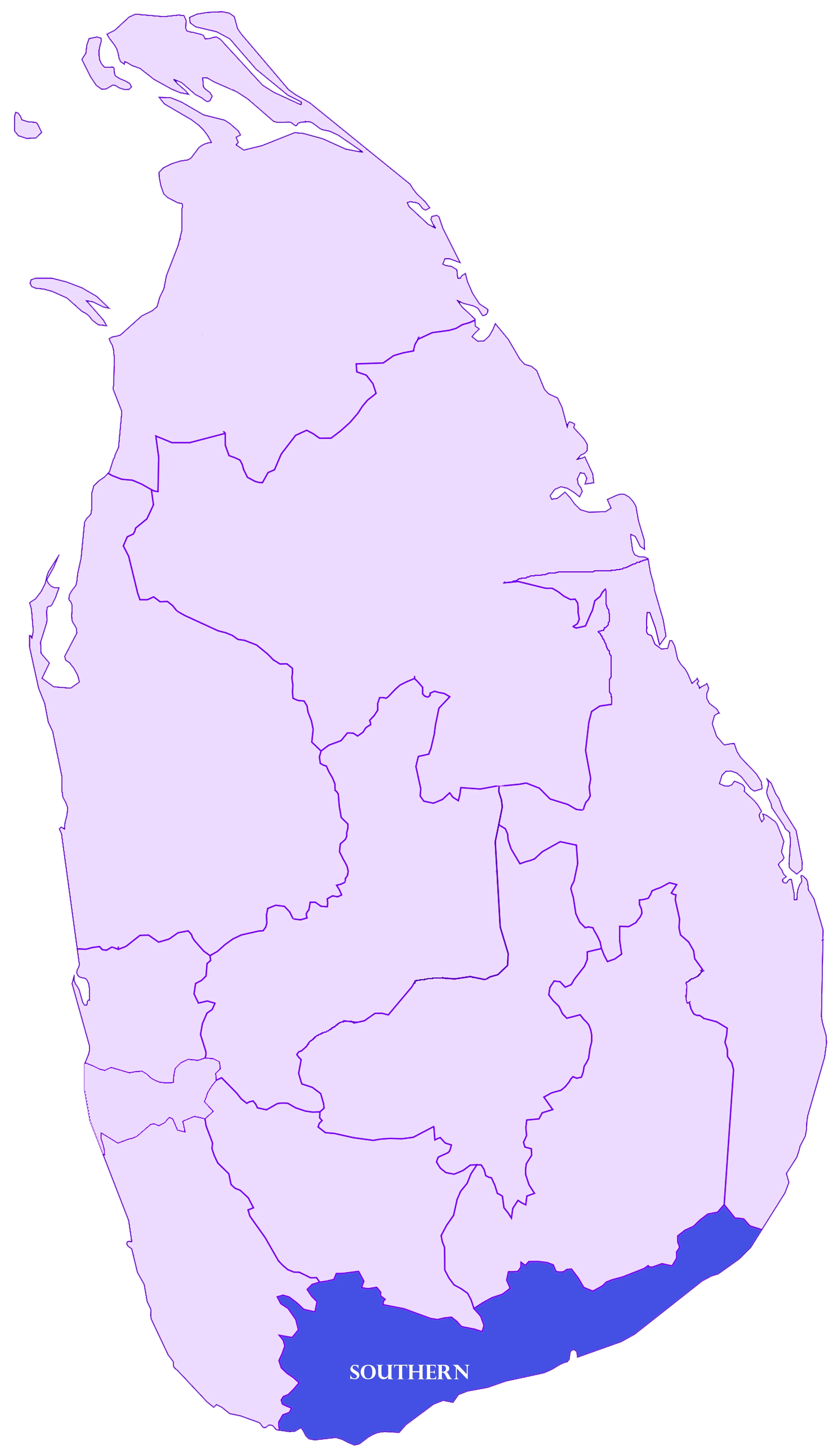
Map Highlighting Southern Province of Sri Lanka -
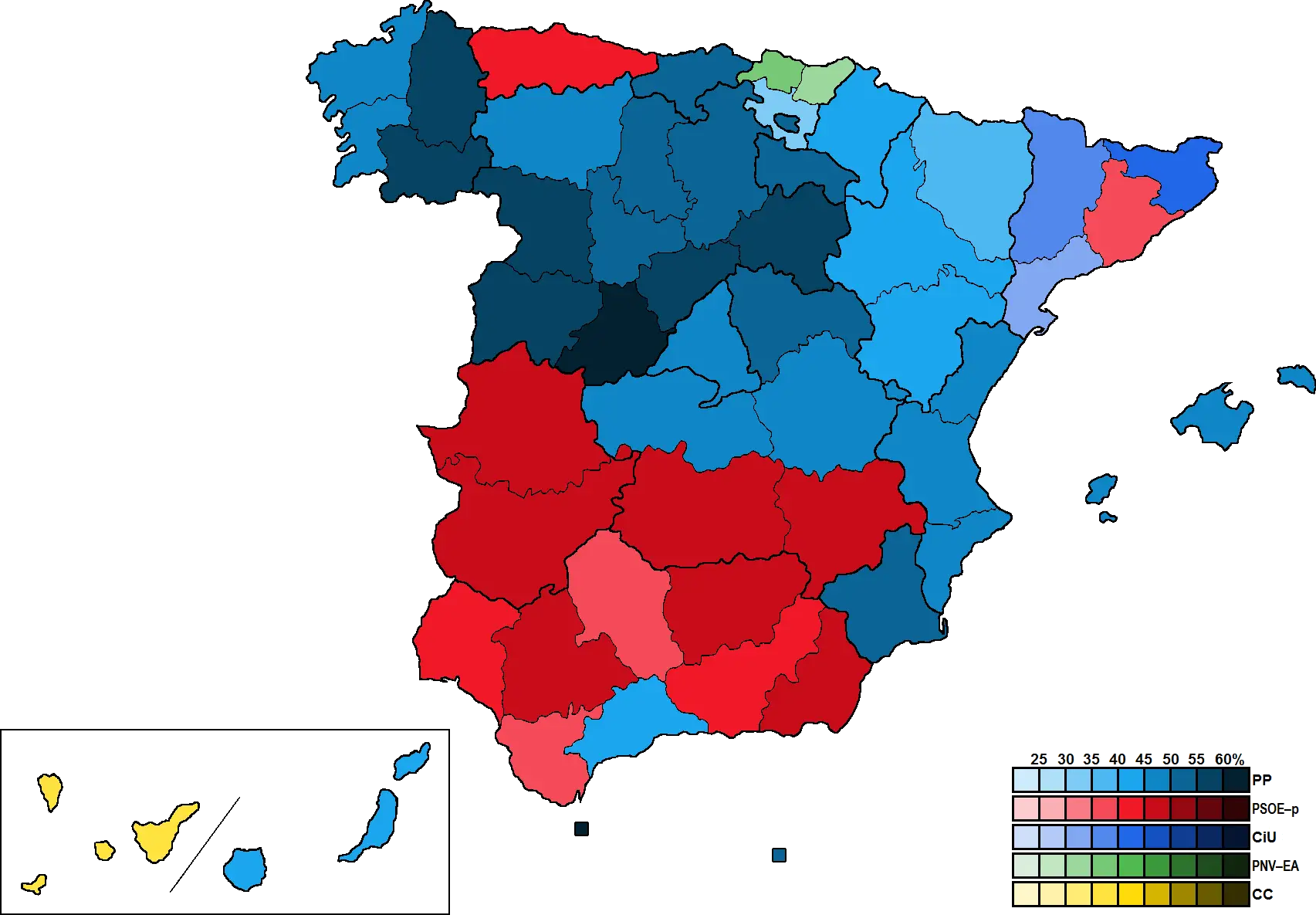
Color-Coded Map of Spain Regions -
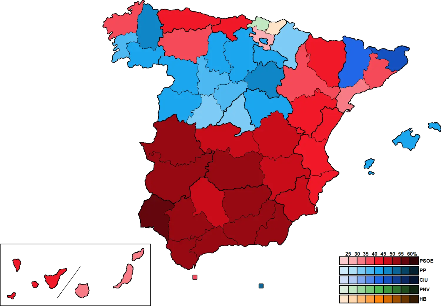
Colored Political Map of Spain -
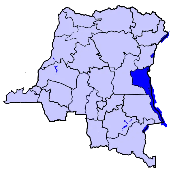
Highlighted Map of Democratic Republic of the Congo -
China Map Illustration -
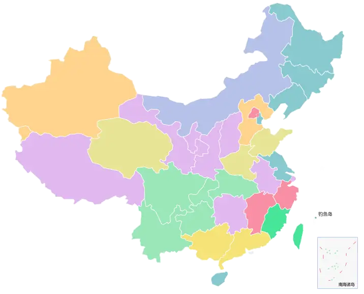
Colorful Map of China with Provinces -
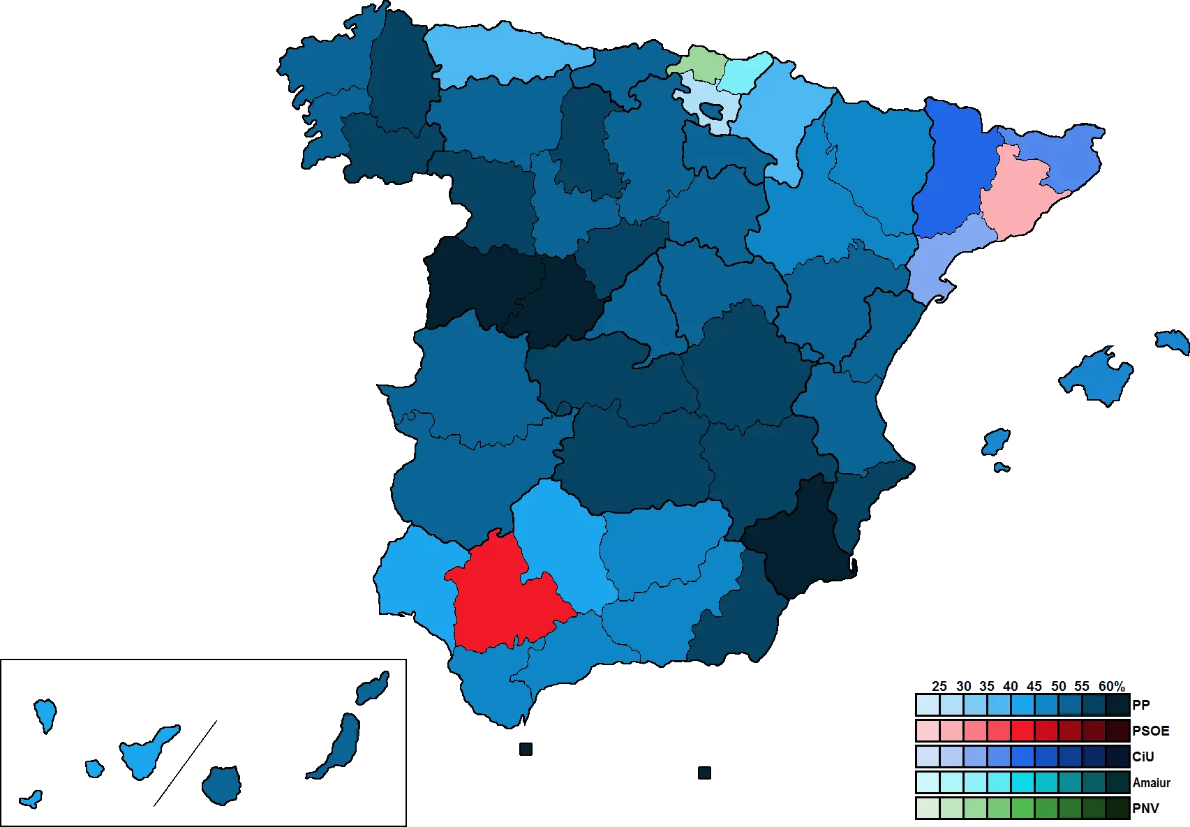
Map of Spanish Regions with Data Representation