You Might Like
-

Map of Turkey with Major Cities and Regions -

Sagrada FamÃlia Watercolor Illustration -

Erasmus+ Logo for International Education -

EIPASS Logo for European Informatics Certification -
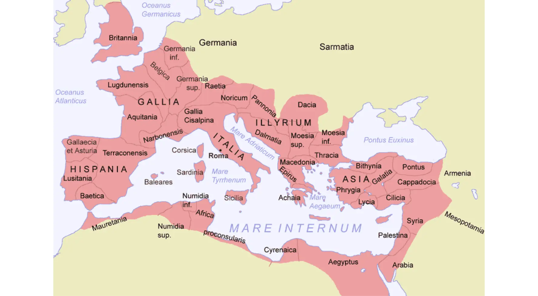
Map of the Roman Empire -

ESA European Space Agency Logo -

Cambodia Country Map Outline with Provincial Divisions -
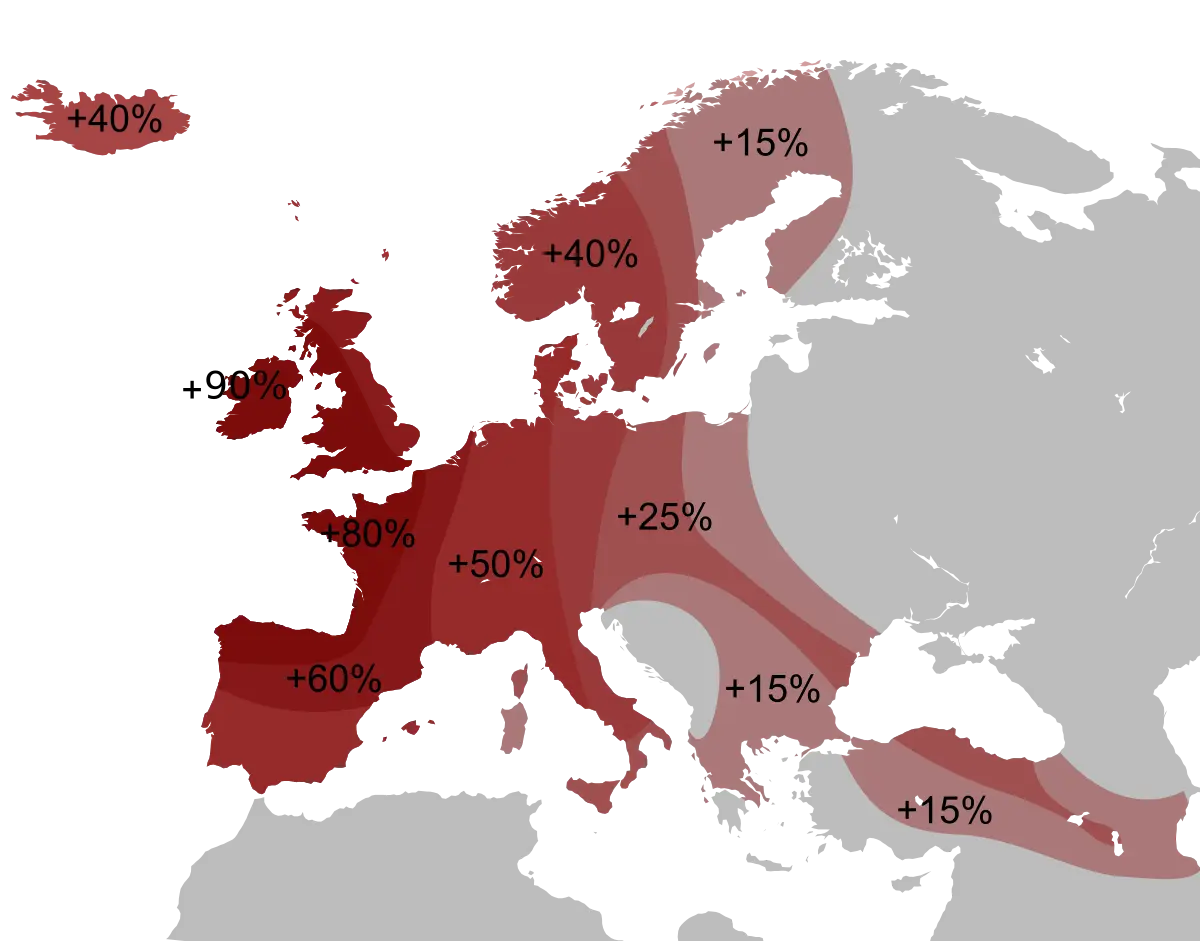
Percentage Map of Europe -
Royal Coat of Arms Emblem -

Sports Team Logo with Crown and Shield Elements -

Spanish National Flag with Royal Coat of Arms -
Basque Flag with Red, Green, and White Stripes -
Euro Coins Collection Display -

Map Highlighting Catalonia Region in Spain -

Detailed Cityscape Painting With Famous Landmarks -

Famous European Landmarks Illustration -
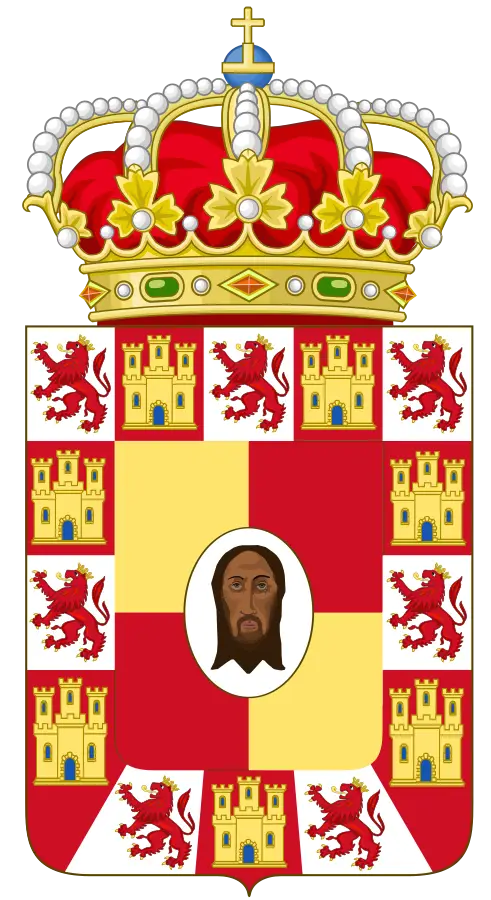
Royal Coat of Arms Design with Crown -
Map of Europe with Country Highlights -

Official Telefonica Logo -
Serbian national flag with emblem -
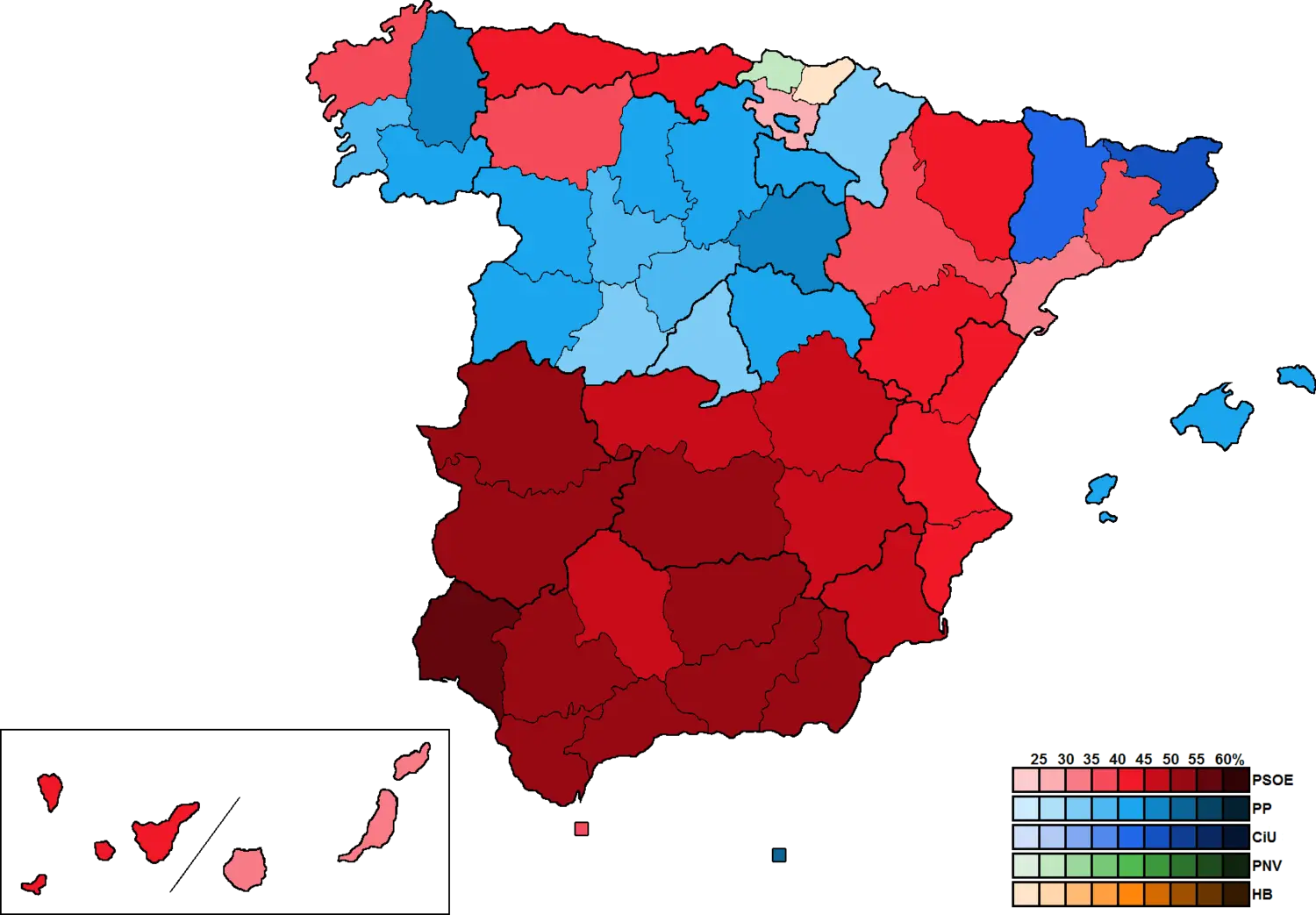
Map Highlighting Region in Spain -
Clock Tower and Cathedral in City -

Map of Liechtenstein with National Flag Colors -

Outline Map Silhouette of Germany -
University of Granada Official Emblem for Academic Identity -

Lithuania Map with Flag Colors Overlay -

Scenic Town by the River -
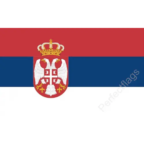
Serbia National Flag -
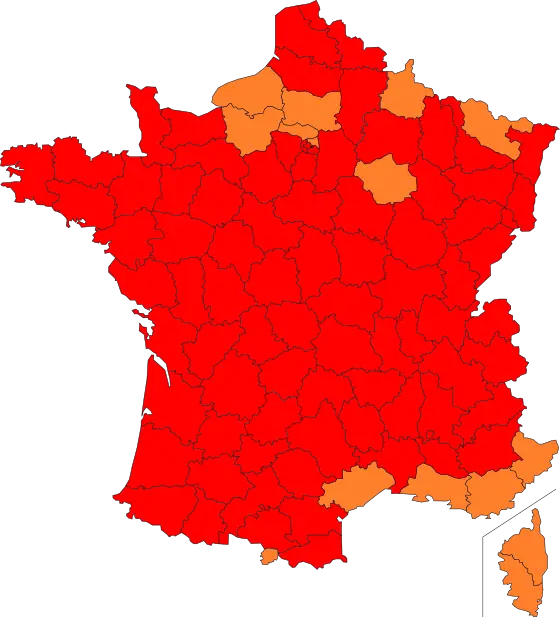
Illustrated Map of France with Regions Highlighted -
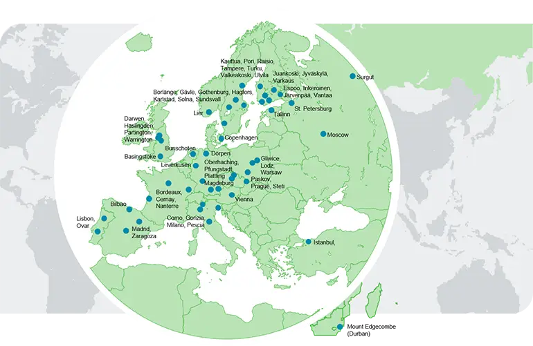
Map of Europe with Cities