You Might Like
-

Black Windy Weather Icon -
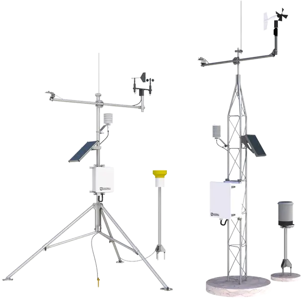
Weather Station Equipment -

Earth and Sun with Climate Elements -
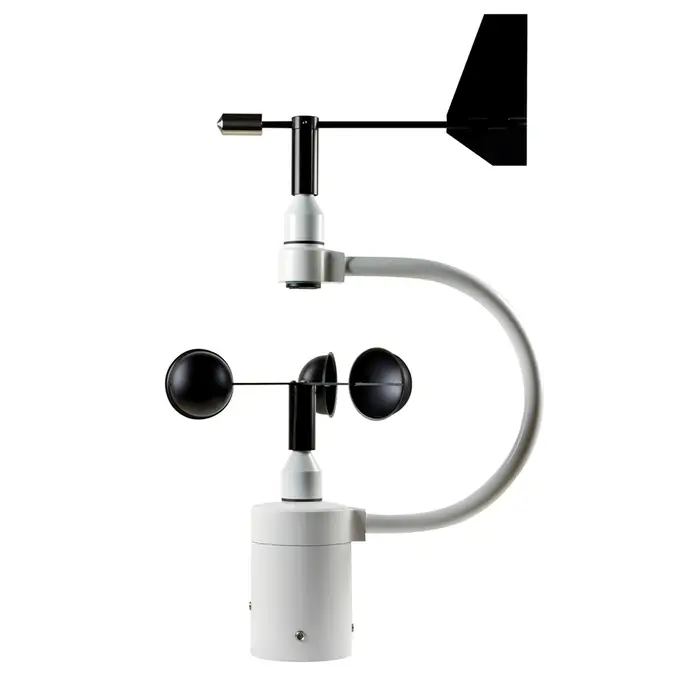
Weather Instrument with Anemometer and Wind Vane -
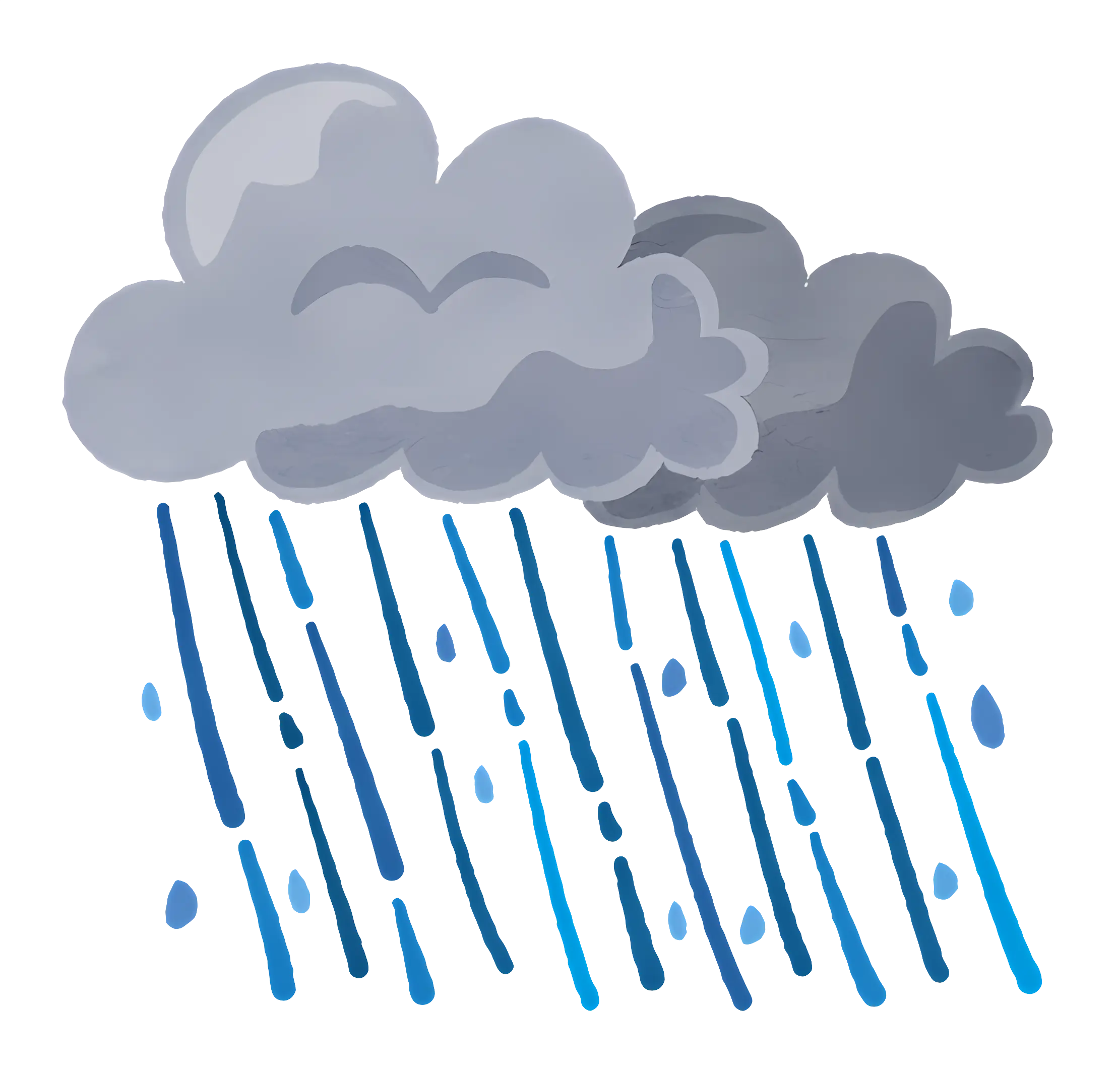
Rainstorm with Gray Clouds and Falling Raindrops -
Colorful Climate Map for Weather Analysis -

Hurricane Symbol for Weather Alert -

Tornado Weather Symbol Icon -

Windsock for Wind Direction -
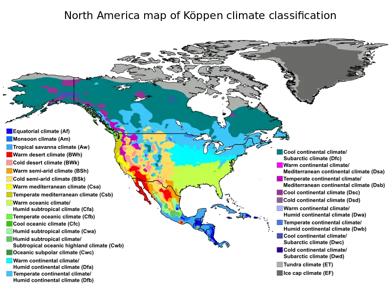
North America Köppen Climate Classification Map -
Tropical Rainfall Measuring Mission Logo -
Weather Station Equipment -
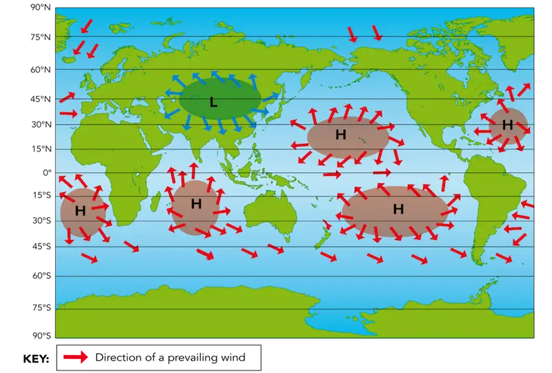
World Map Showing Prevailing Winds and Pressure Zones -
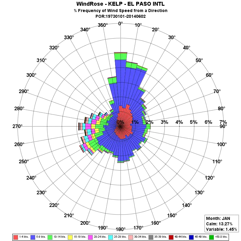
Wind Rose Diagram for Weather Analysis -

Partly Cloudy Weather Icon -
Weather Radar with Storm Cloud -
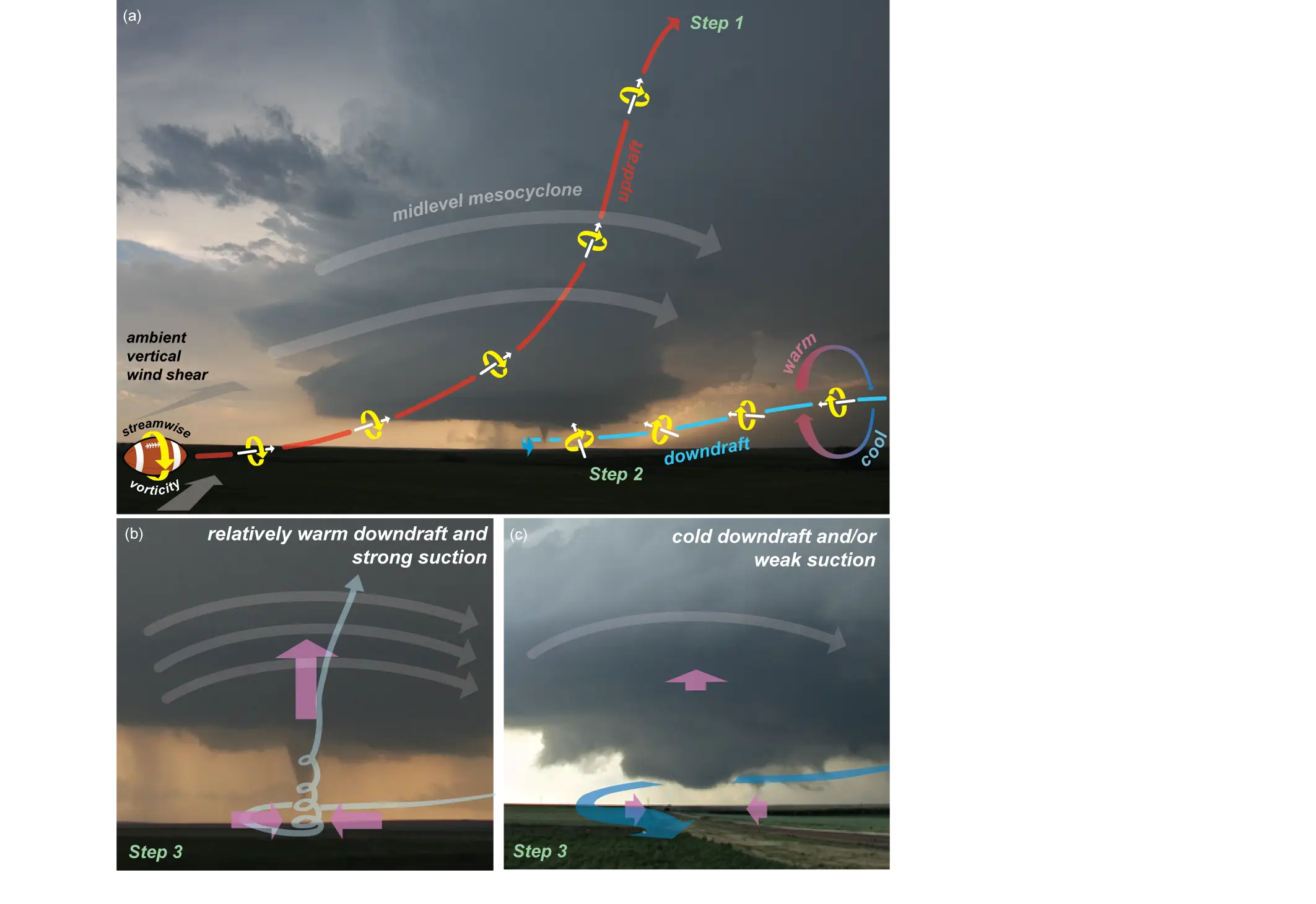
Tornado Formation Diagram -

Weather Icon with Sun, Cloud, and Rain -
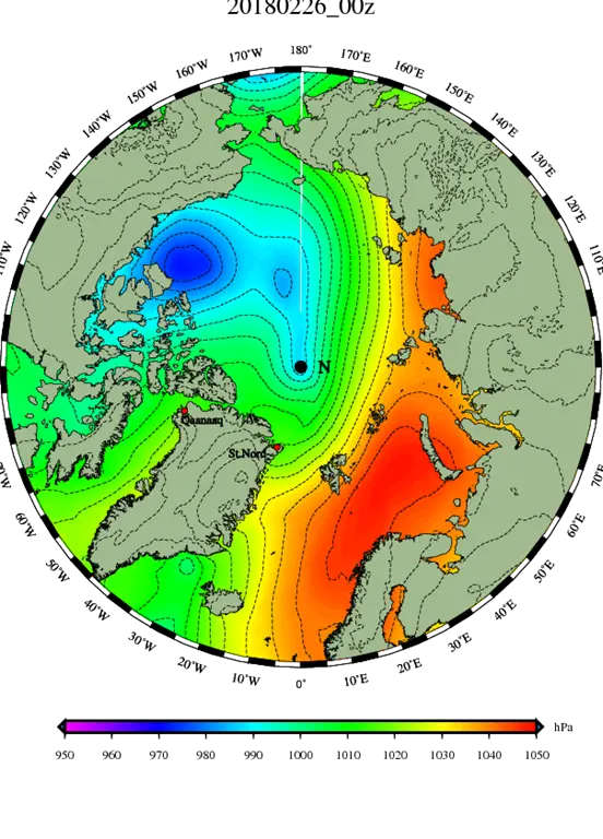
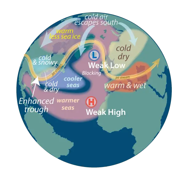
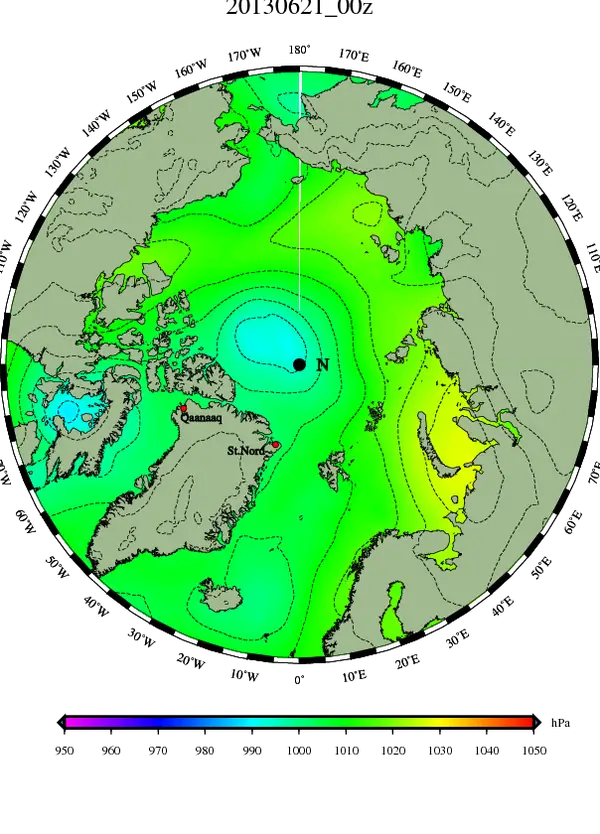
Climate Representation Map of the Arctic Region