You Might Like
-
Blue Eco-Friendly Electric Car -

Green Leafy Frame -

Fresh Coconut Halves for Tropical Essence -
Green Train Cartoon Illustration -

Colored Regional Map of Africa -
Modern Black Sedan Car for Urban Driving -

Cute Cartoon Dolphin Illustration -
Bright Corn Cob Illustration -
Green Aloe Vera in Ceramic Pot -

Park Bench with Lamp Post and Trees in the Background -

Beautiful Nature Scene with Lake and Forest -

Butterflies Flying Over Lush Green Grass -

Green Four-Leaf Clover Illustration -

Lush Green Tree Illustration -

Succulent Plant Close-Up Illustration -

Wooden Treehouse in Forest Illustration -

Peaceful Forest with Sunlight Streaming -
White and Green Sports Shoe for Athletic Use -

Blue Globe with Continents Illustration -

Blue Globe Model for Geography Learning -

Map of the Soviet Union with Highlighted Regions -

Green Tired and Sleepy Emoji Expression -

Green Award Badge with Ribbons -
Green Romanesco Vegetable -
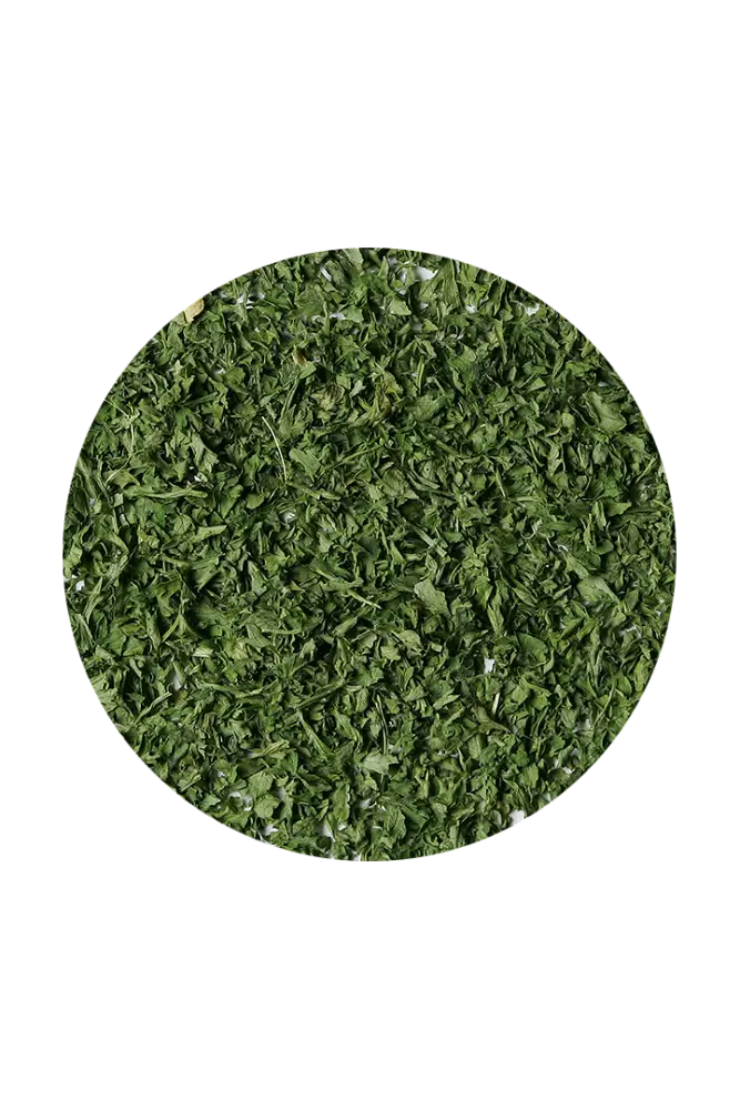
Dried Green Herbs -

Blue Iris Flower Botanical Illustration -
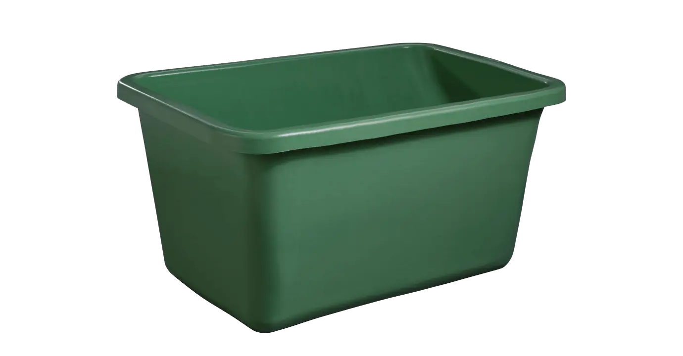
Green Plastic Bin for Household Storage -
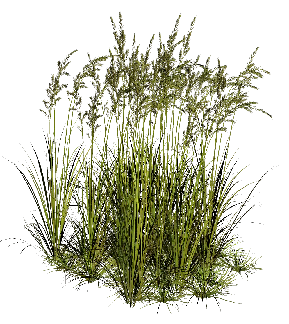
Tall Green Grass with Wild Stalks -

Black Compass Rose for Navigation and Mapping -

Green Globe Icon Representing Sustainability