You Might Like
-

Colored Regional Map of Africa -
Stylized Black Cat Illustration -

Outline of a Sitting Dog -

Gift Box Silhouette with Ribbon -

Soccer Ball and Shoe Illustration -

Mother Holding Baby Icon with Heart -

Illustration of Wedding Couple in Formal Attire -
Black Feather with Plume and Dark Appearance -

Black Smartphone Icon Design -

Surfer Silhouette -

Black Silhouette Flowers -

Swirly Tree with Birds and Flowers -

Simple Silhouette of a Human Figure -

Intricate Black Dragon Tattoo -

Silhouette with Speech Bubble -

Simple Black House Icon with Chimney -

Hugging Figures Symbol Illustration -

Blue Globe with Continents Illustration -

Black Dragon Silhouette Illustration -

Blue Globe Model for Geography Learning -

Map of the Soviet Union with Highlighted Regions -
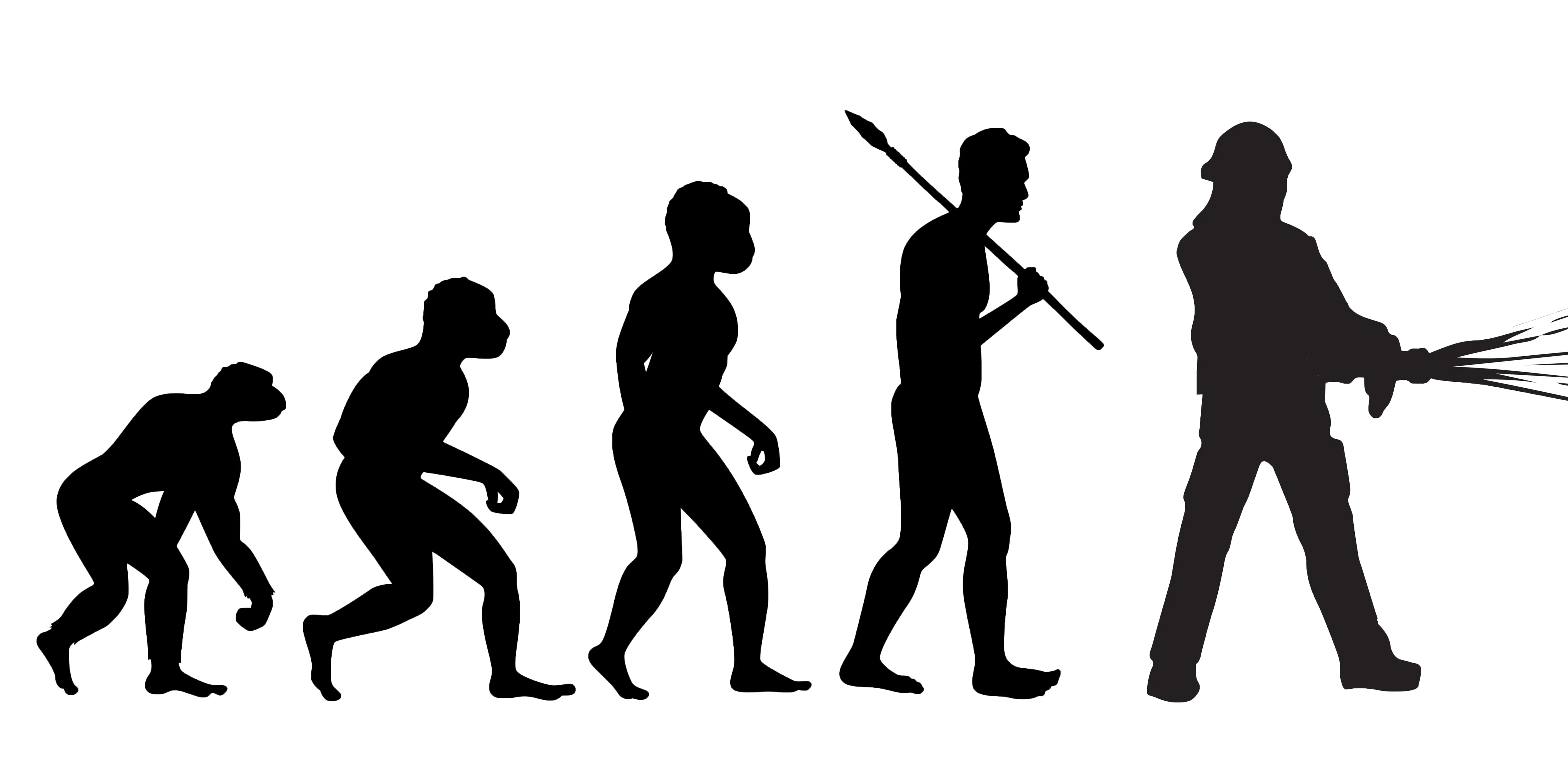
Evolution of Humanity Illustration -

Black Dog Silhouette Icon -

Tattoo-style Dragon Illustration -

Running Stick Figure Illustration in Dynamic Motion -
Silhouette of a Cow Illustration -

City Skyline Silhouette Art -
Barren Dead Tree on Soil -
Patterned Lion Design -

Black Hair Pick