You Might Like
-
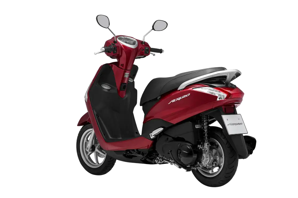
Red Scooter for Urban Mobility -
Train Symbol in Yellow Circular Design -
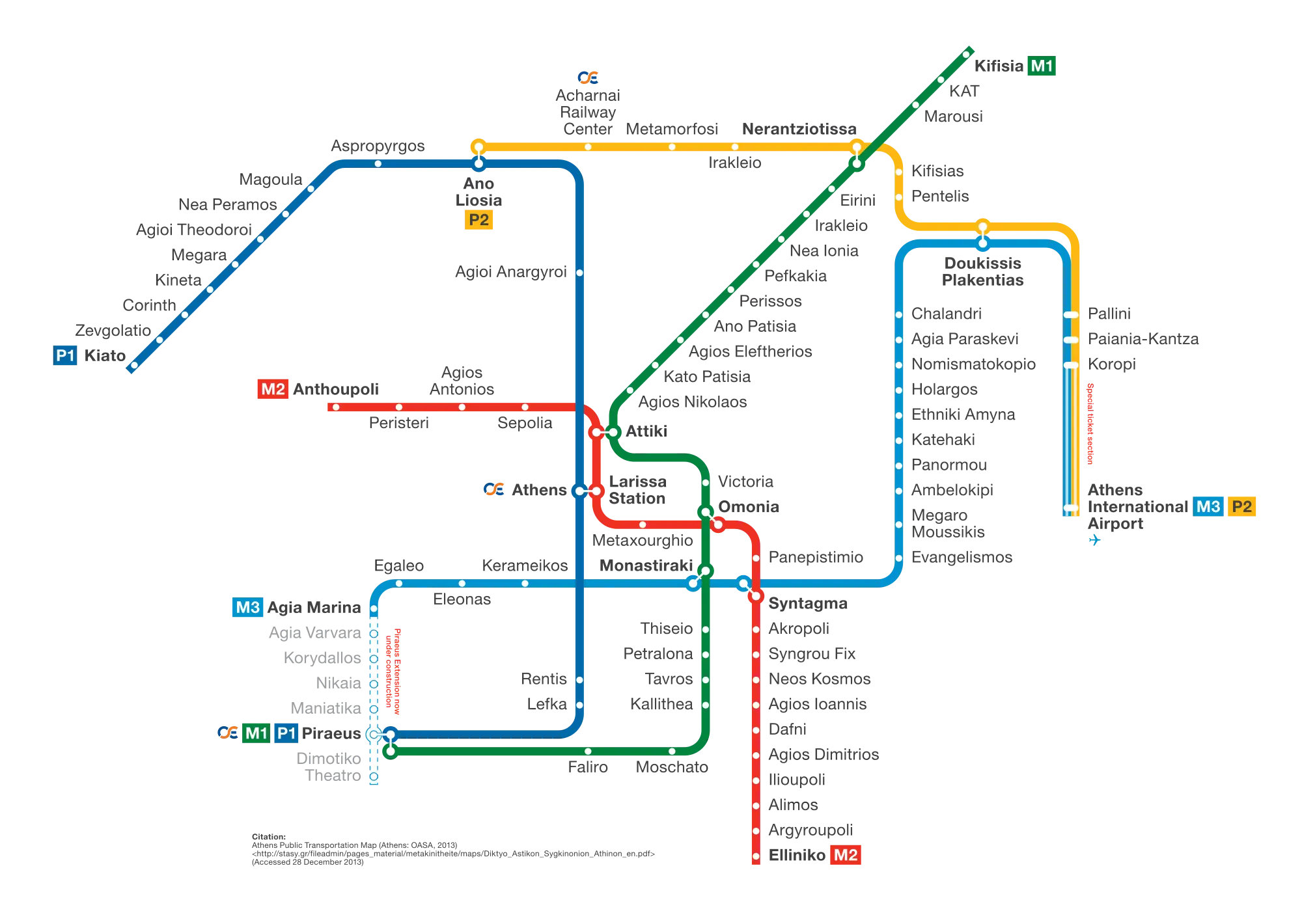
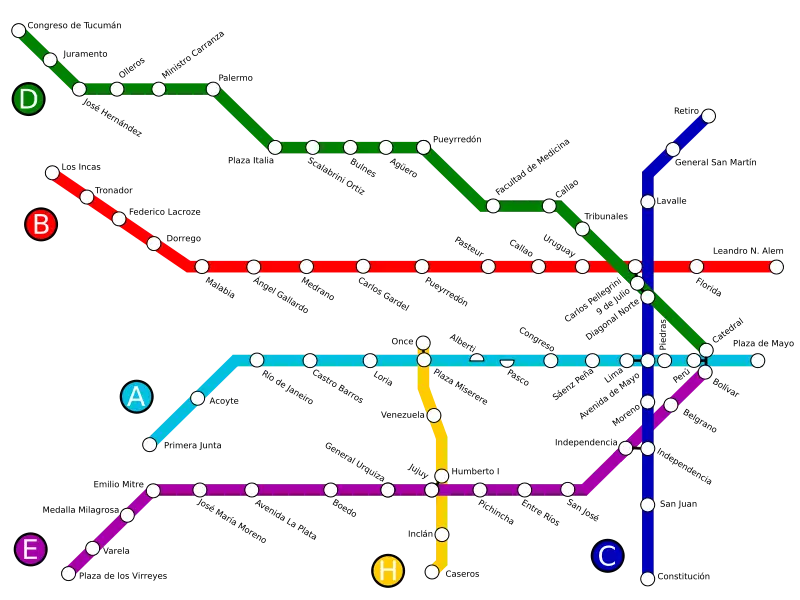
Colorful Subway Map with Routes and Stations -
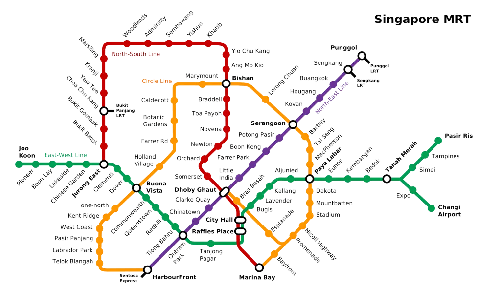
Singapore MRT Map for City Navigation -
Bus Stop Location Icon in Marker Style -
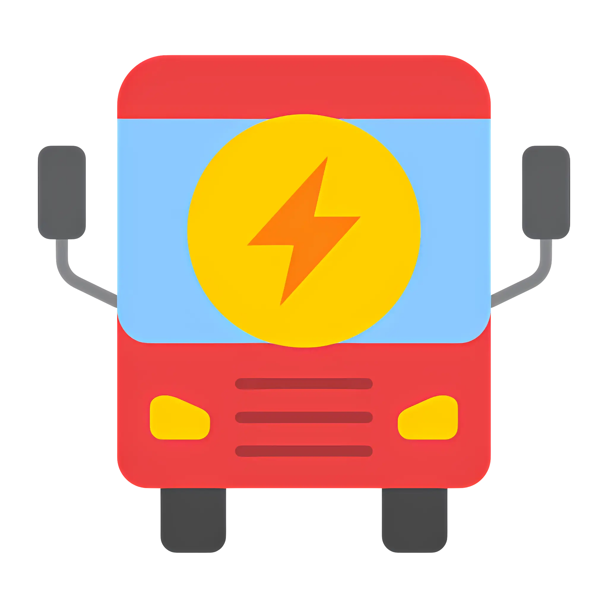
Red Eco-Friendly Electric Bus Illustration -

Black Bus Icon for Transportation Signage -
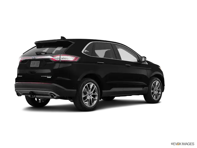
Black SUV for Comfortable City Commute -
Minimalist Rear View Bus Icon Design -
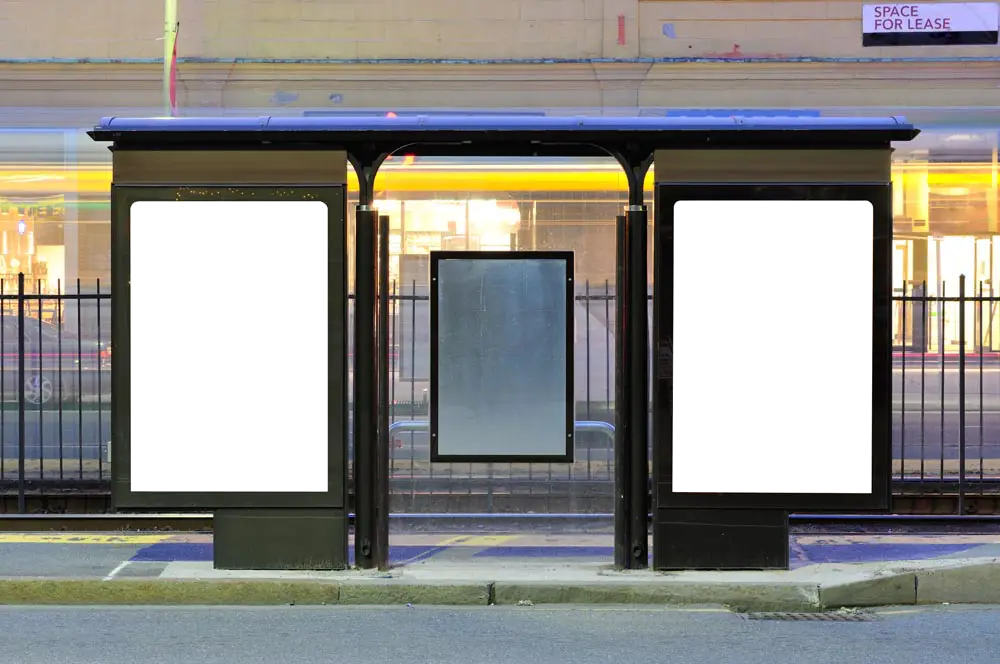
Modern Bus Stop Shelter -
RER Logo in Blue Circle -
Metro Last Light Game Cover -
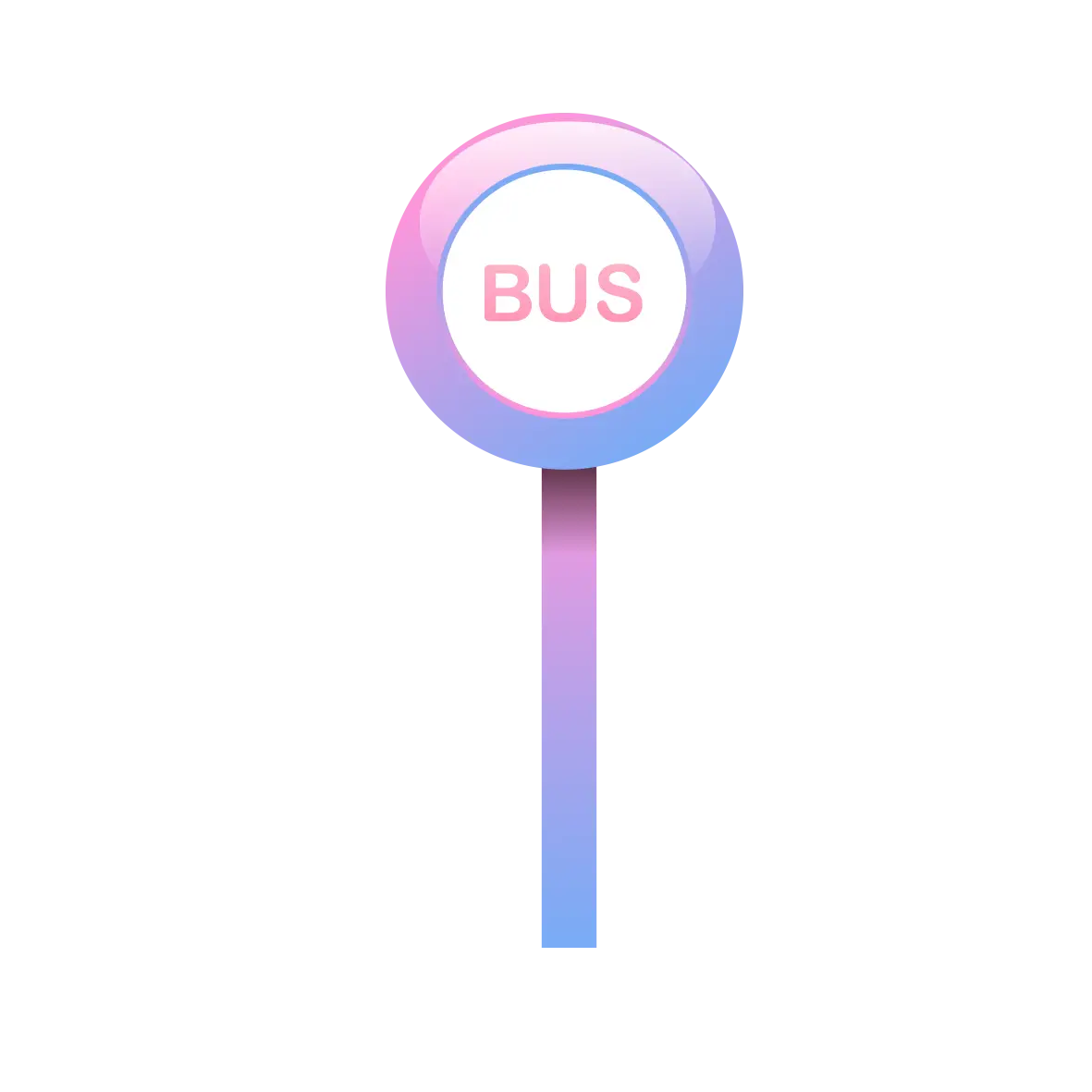
Blue Bus Stop Sign -
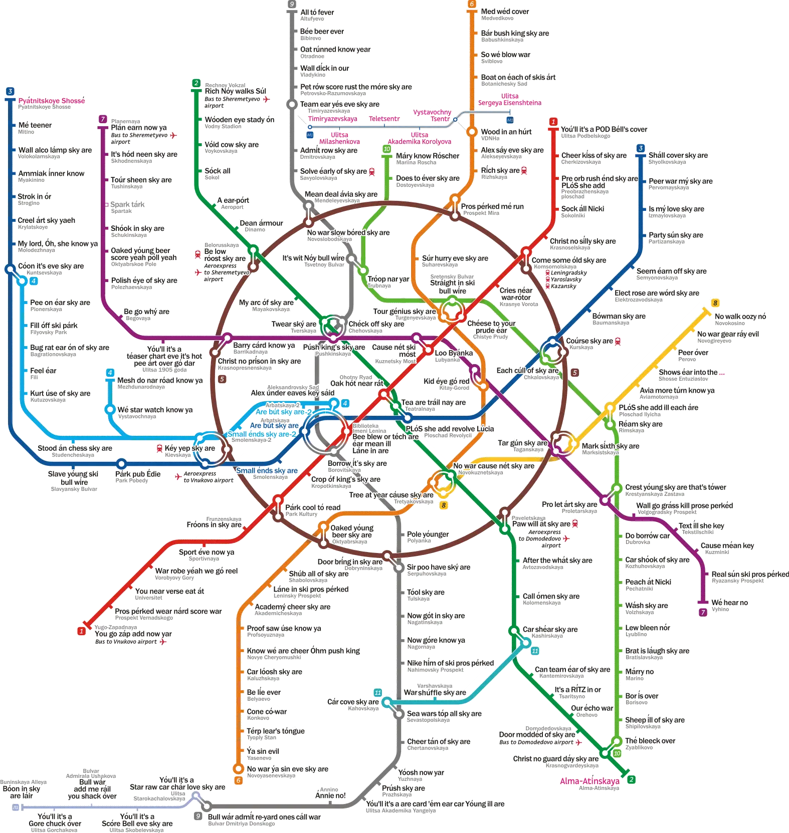
Colorful Metro Map Illustration -

Black Outline Bus Icon for Transportation -
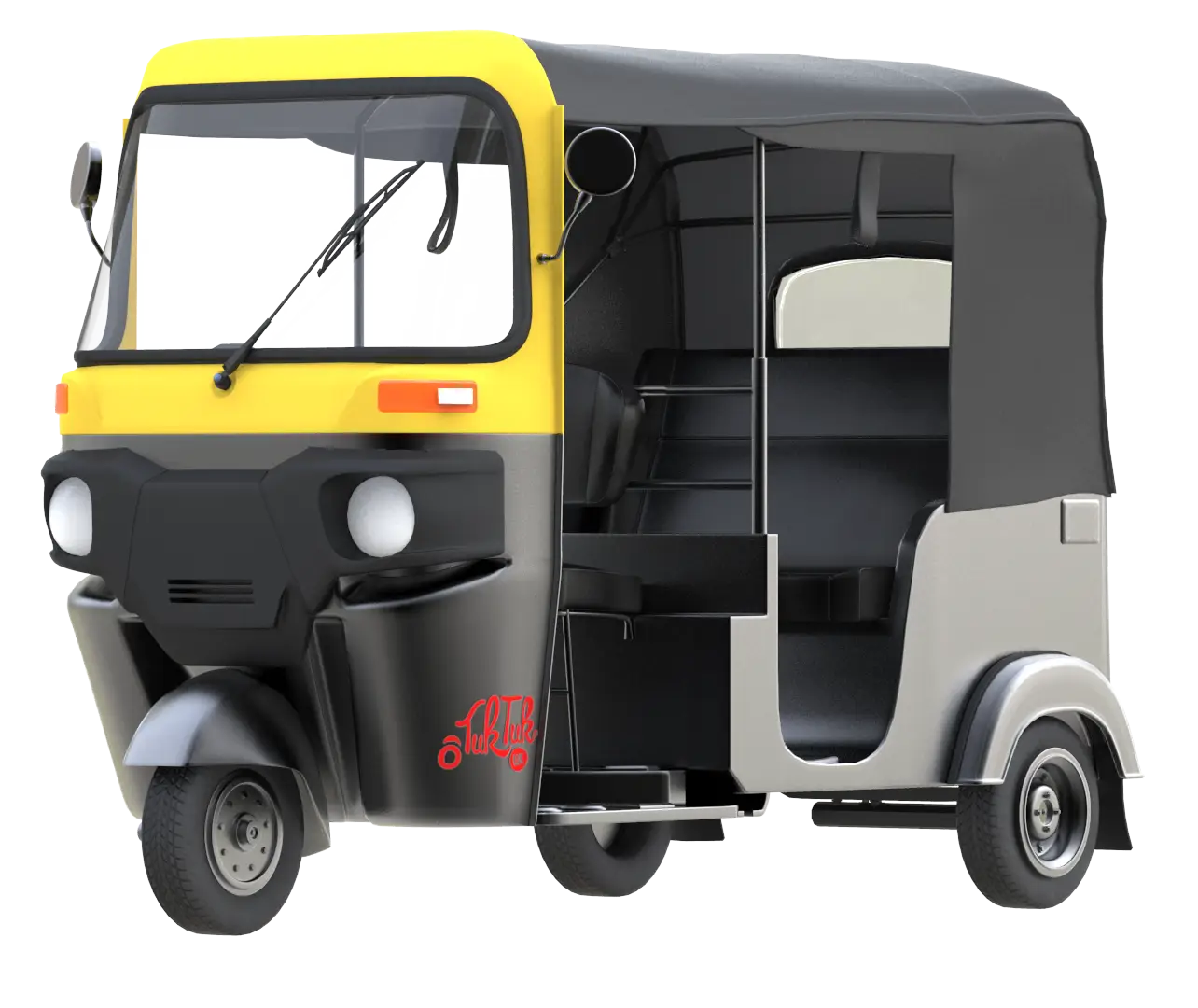
Auto Rickshaw for Urban Transport -
Modern Articulated Bus for Urban Transit -
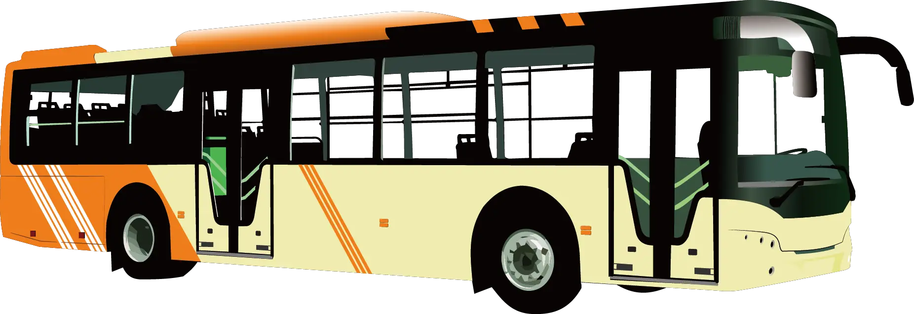
Orange and Yellow Public Transport Bus -
Train Illustration for Transportation Graphics -
Seoul subway system map -
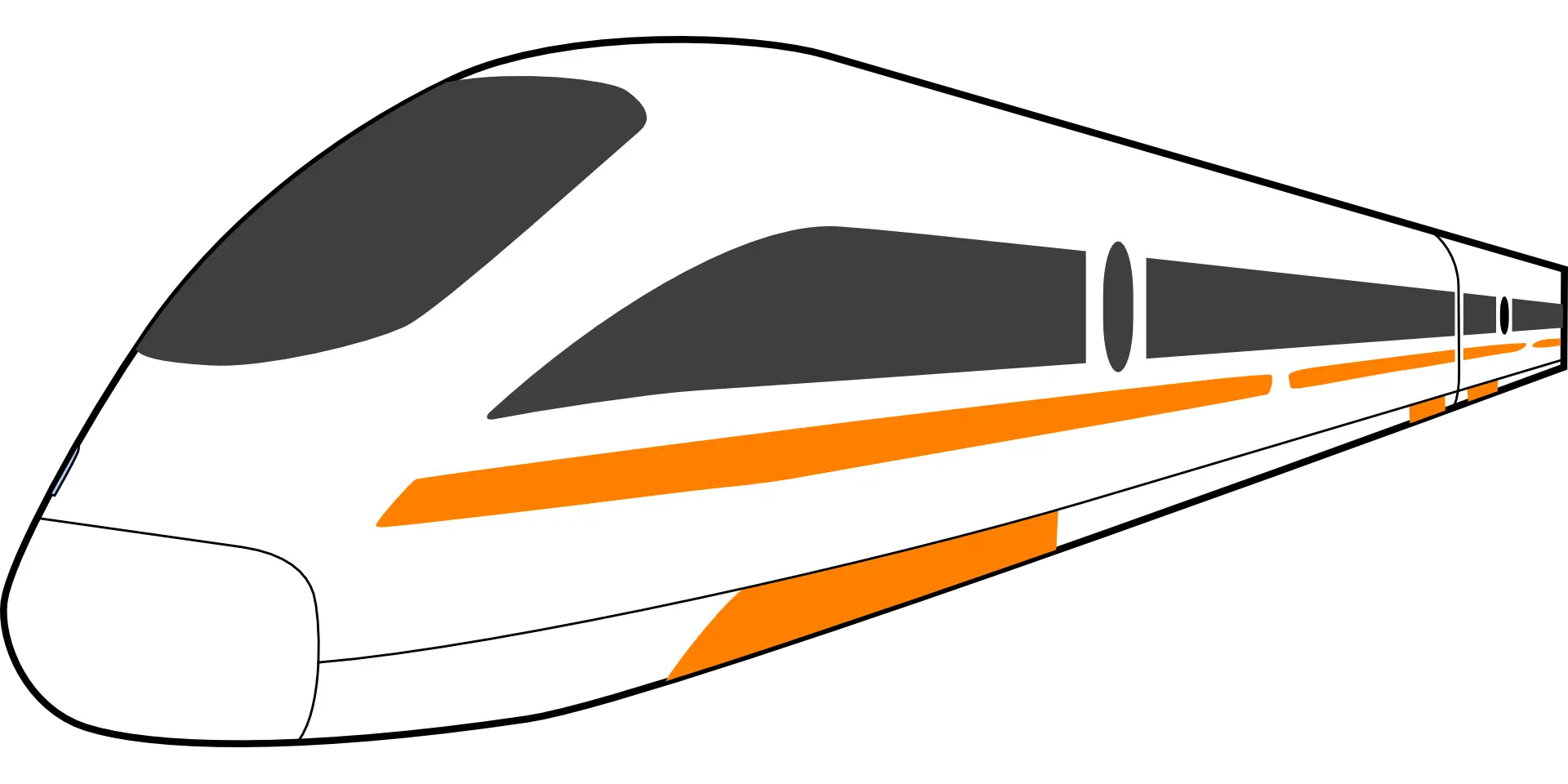
Modern Train with Orange Stripes -
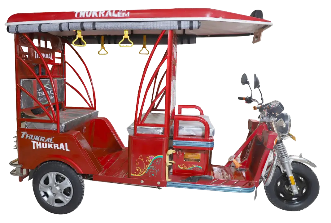
Red Electric Rickshaw for Passenger Transport -
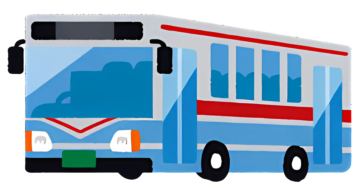
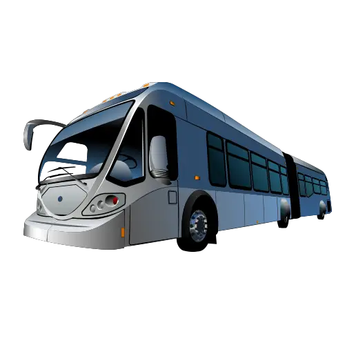
Blue public transport bus -
Blue Bus Stop Sign for Public Transportation -
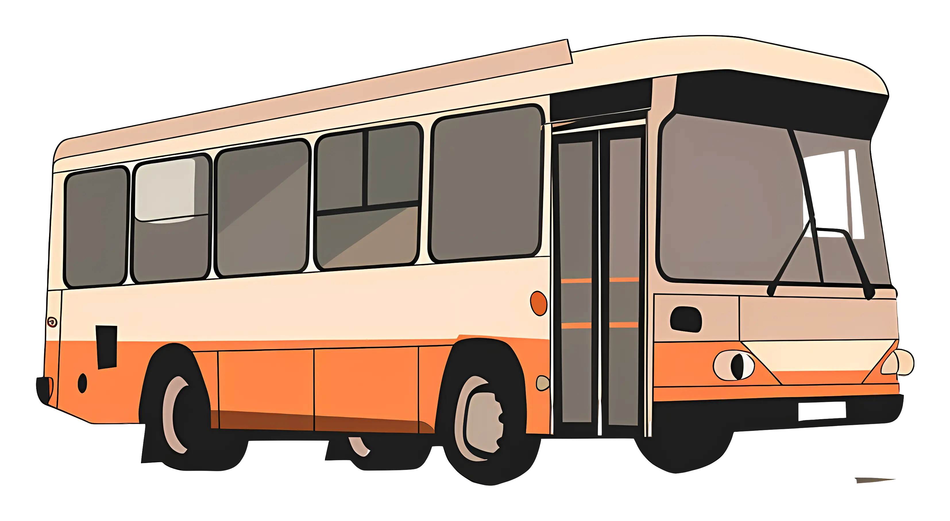
Orange and White Cartoon Bus Design -
Public Bus Stop Sign -

Electric Bus for Urban Commute -
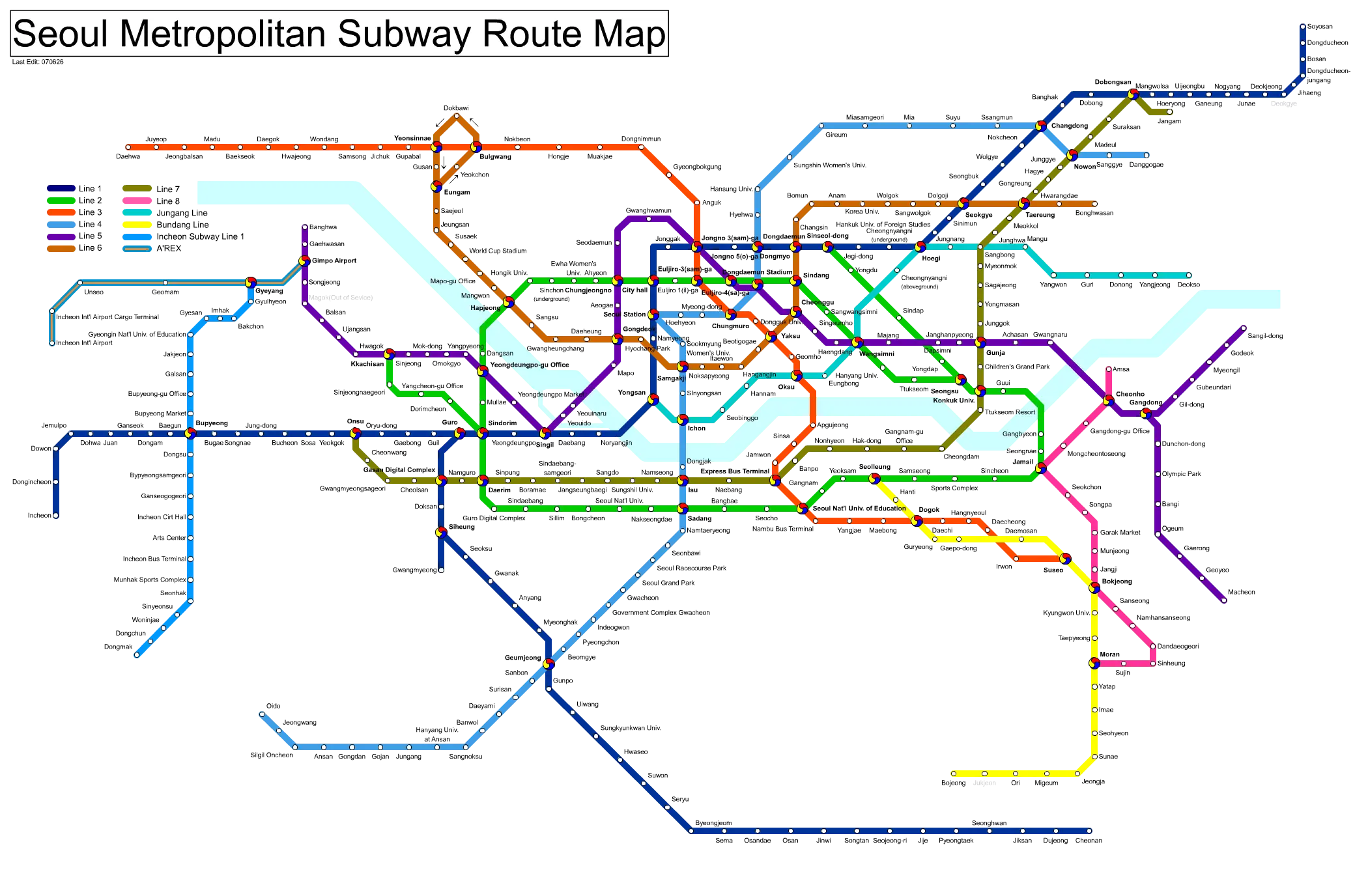
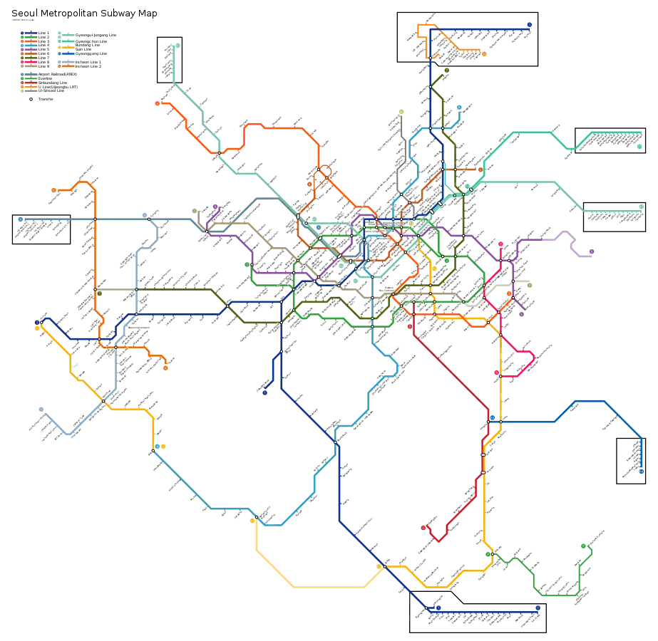
Seoul Metropolitan Subway Route Map -
Green Bus Icon for Public Transport -
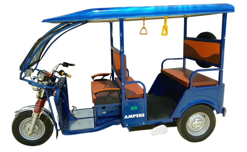
Modern Electric Rickshaw