You Might Like
-

Colored Regional Map of Africa -

Black and White Flower Outline Design -

Colorful Stack of Books with Decorative Leaves -

Flashlight Icon Illustration -

Simple Silhouette of a Human Figure -

Stack of Colorful Books for Learning -

Blue Globe with Continents Illustration -

Blue Globe Model for Geography Learning -

Map of the Soviet Union with Highlighted Regions -

Sales and Marketing Funnel Diagram -

Book Illustration with Back to School Text -
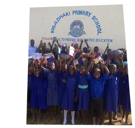
Group of Students at School -

Black Compass Rose for Navigation and Mapping -

Cartoon Teacher with Book Illustration -
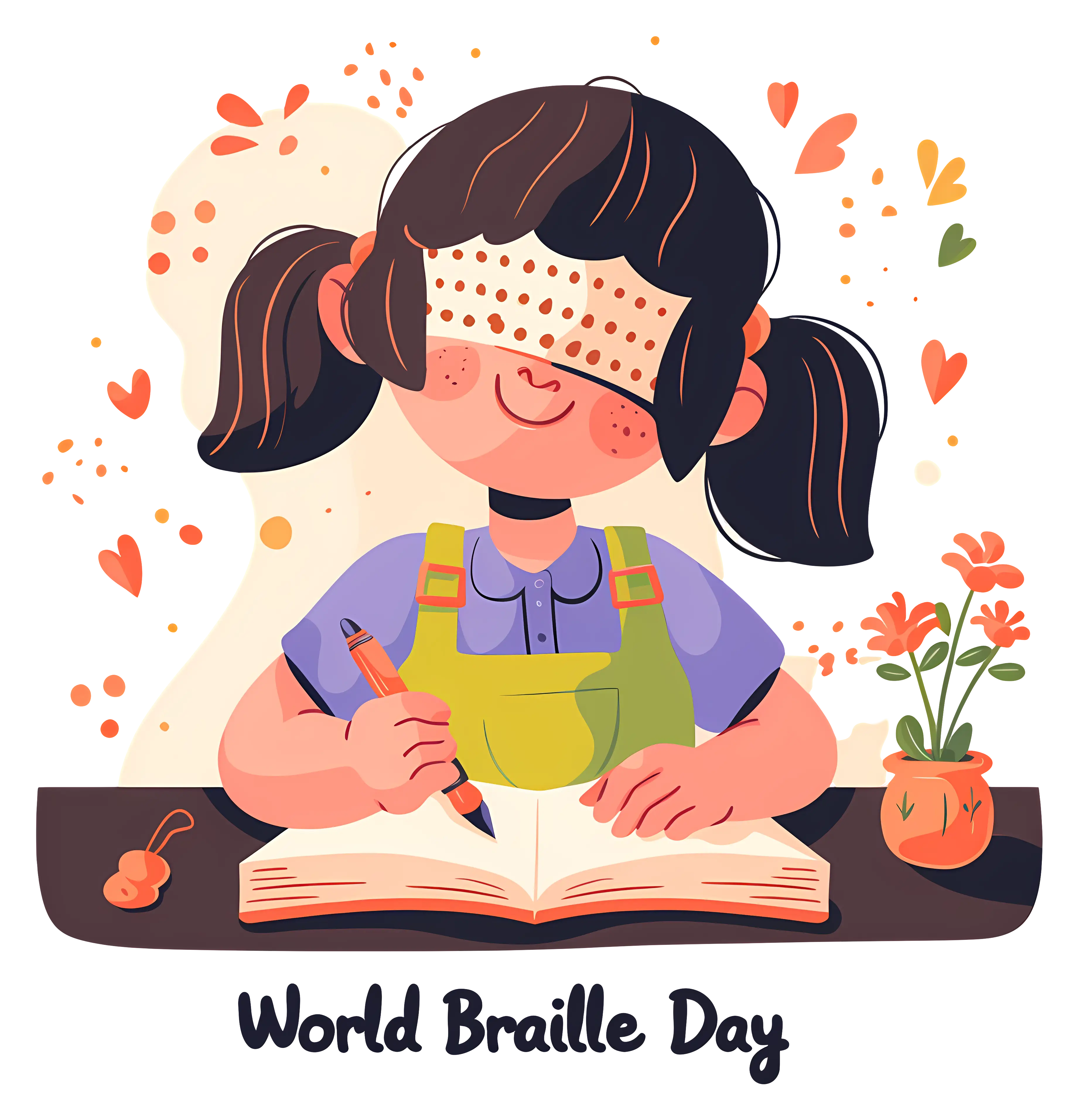
Girl Reading Braille for World Braille Day -

Complete Blue World Map -
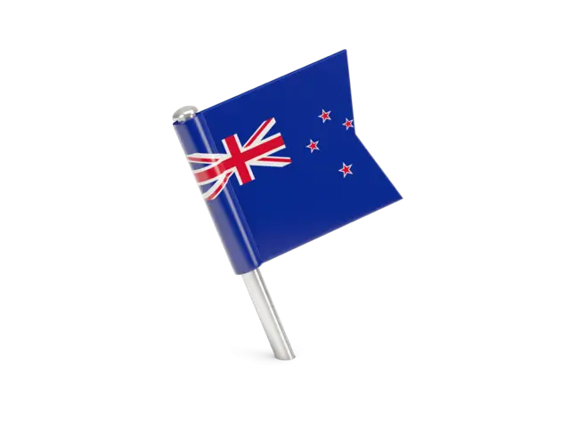
New Zealand National Flag with Southern Cross -

Black Dress Silhouette Illustration -

Smartphone Outline Icon Illustration -

Simple Wine Glass Silhouette -

Watercolor Illustration of Graduation Cap and Books -

Red and White Striped Hot Air Balloon -

Red Boomerang Toy -

White Car Outline Design -

School Building with Clock on Facade -

Black Region Silhouette Map -

American Flag Icon -

Graduation Cap on Stack of Books -

Outline Icon of Bottle -

Graduation Cap Symbol for Education