Free States Cliparts and Illustrations
Free 43 states cliparts & illustrations for your personalized works, such as illustrated map of germany with regions, colorful map of usa showing states by regions, blue map of united states with states highlighted, gray usa map with state boundaries and many more.
-
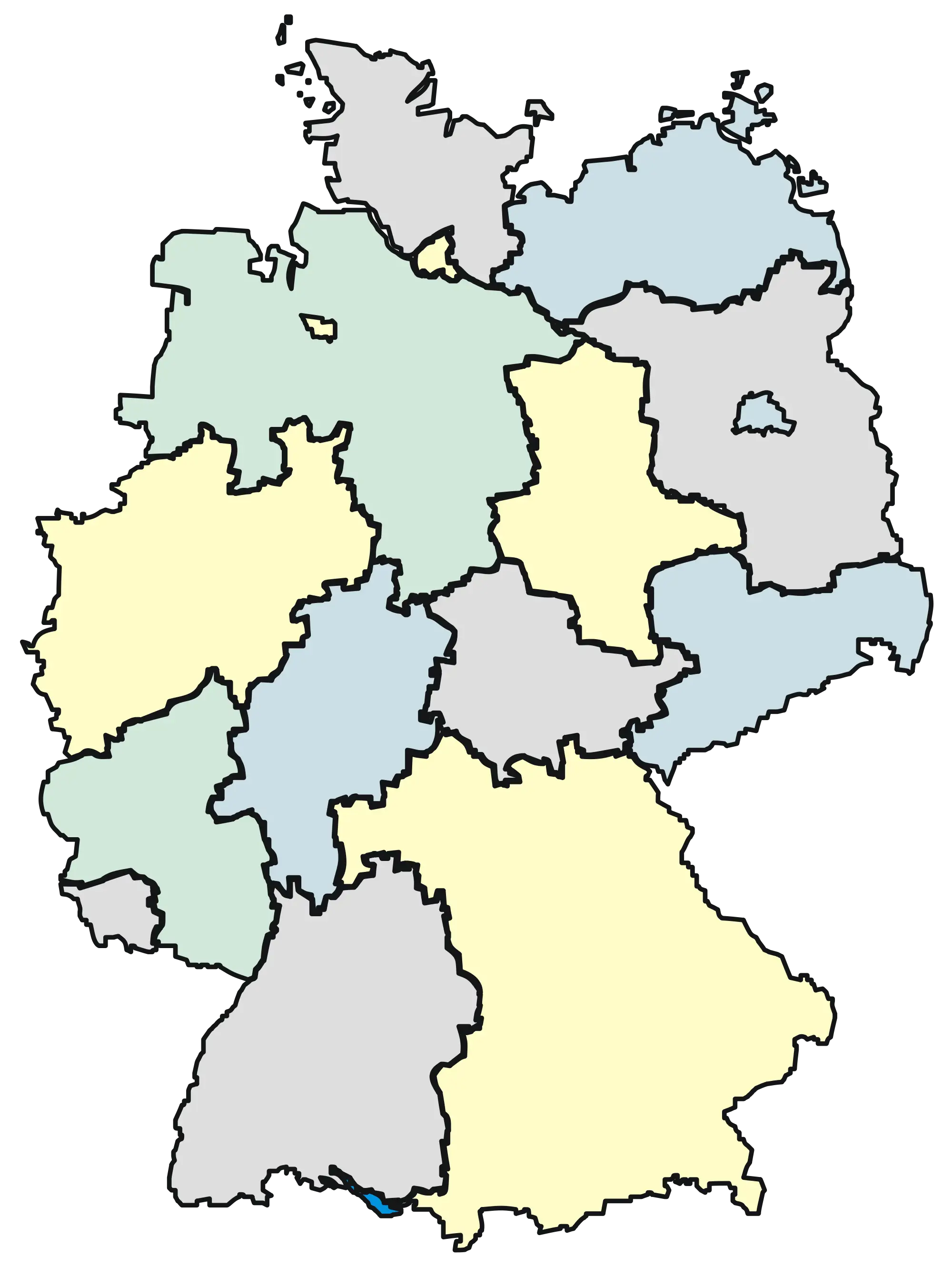
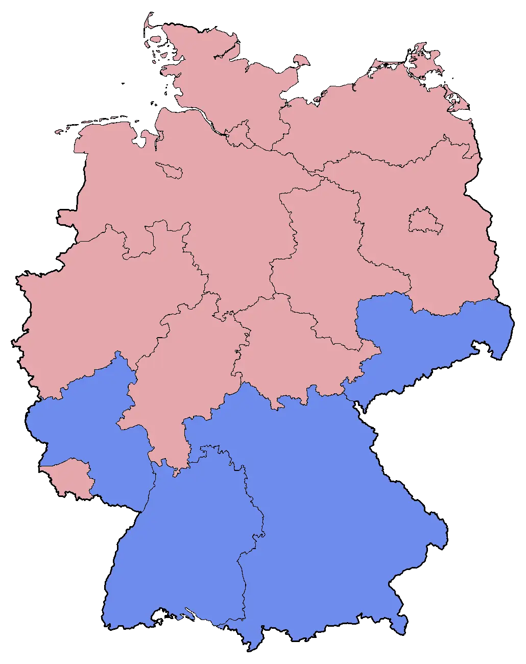
Illustrated Map of Germany with Regions -
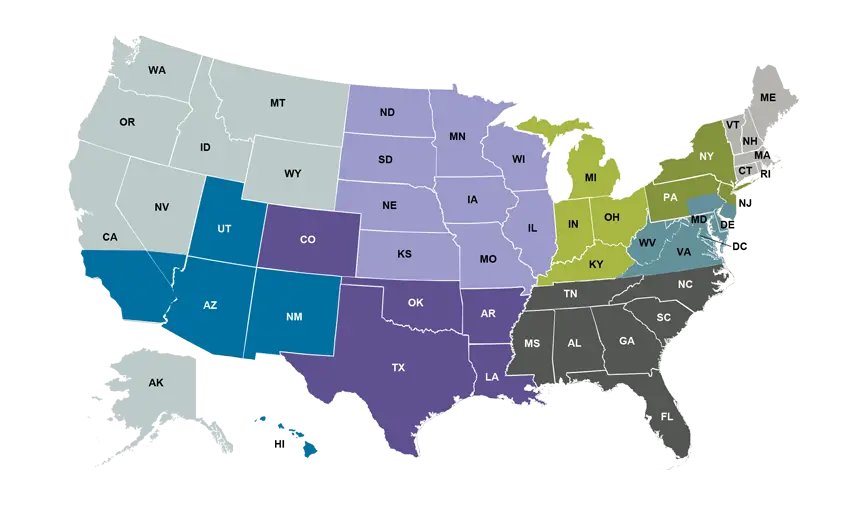
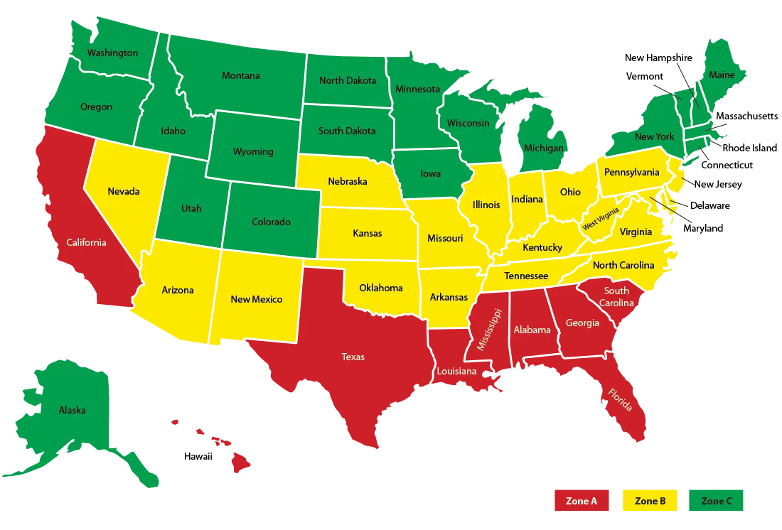
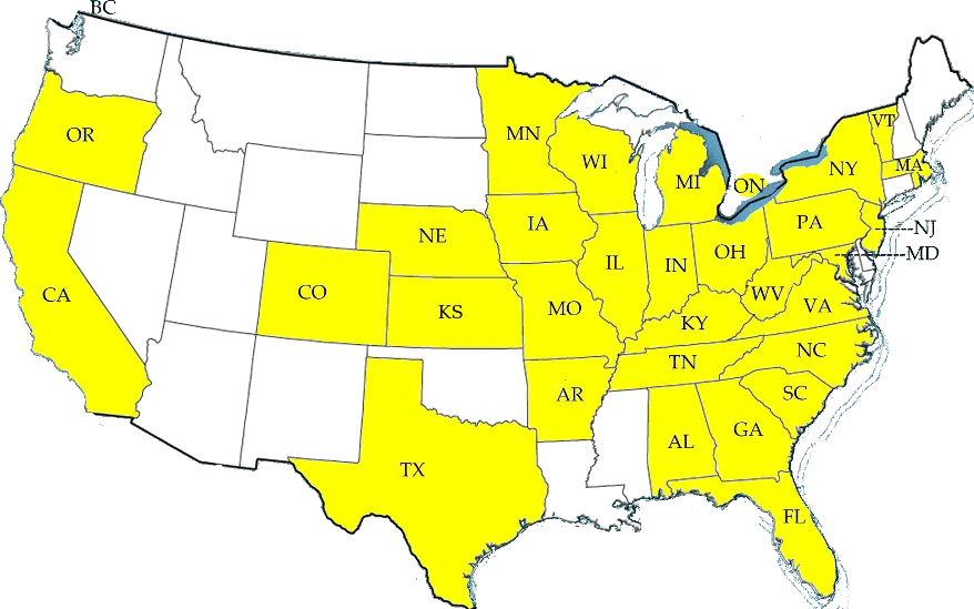
Colorful Map of USA Showing States by Regions -
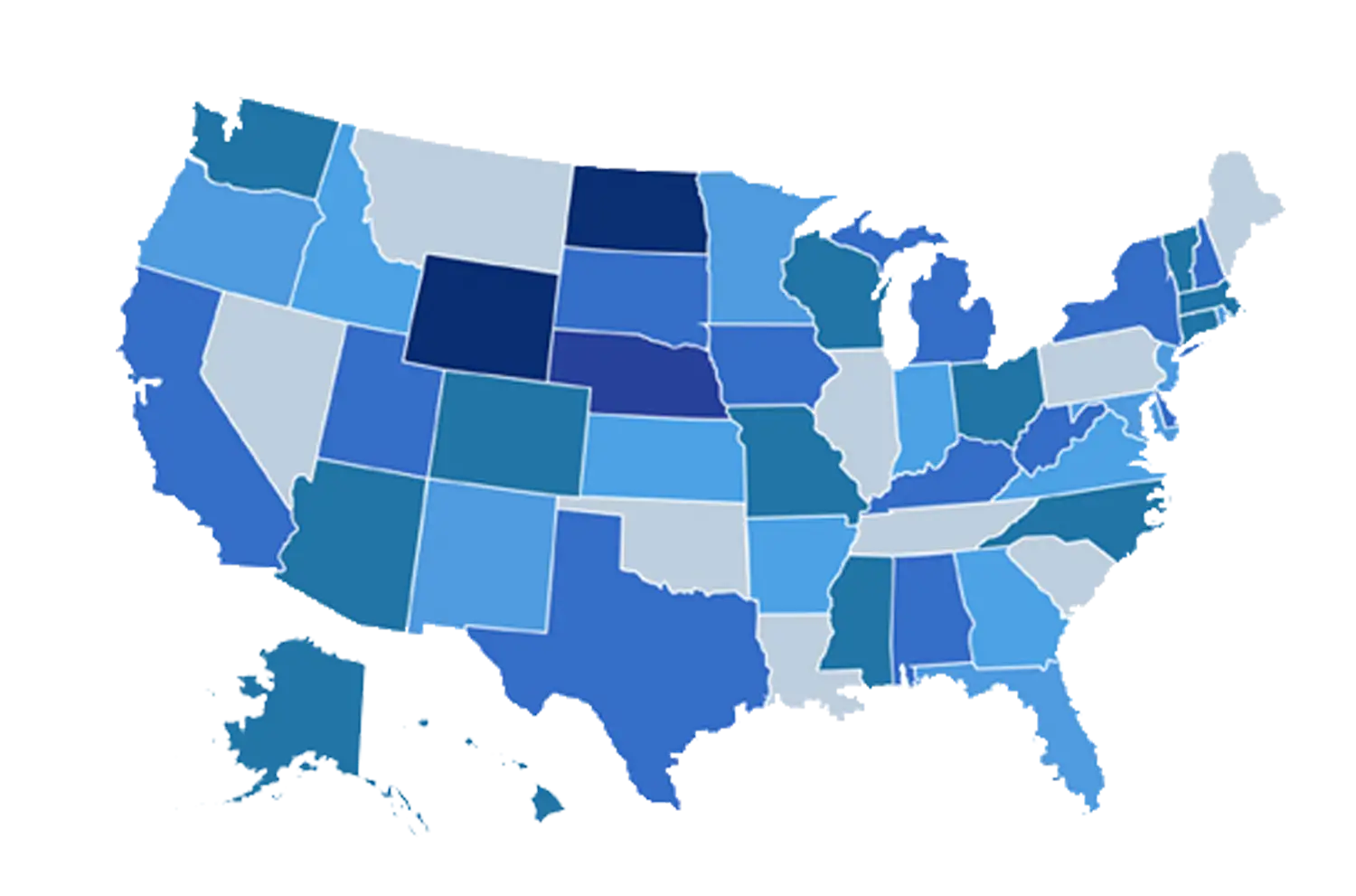
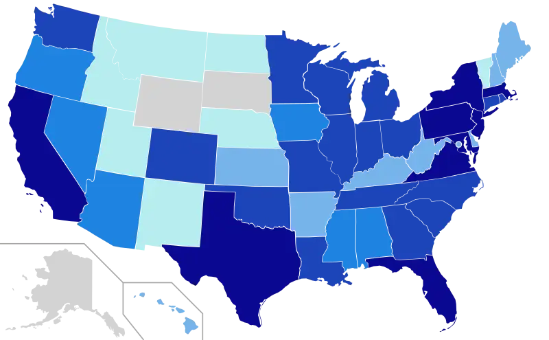
Blue Map of United States with States Highlighted -
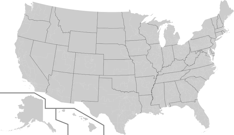
Gray USA Map with State Boundaries -
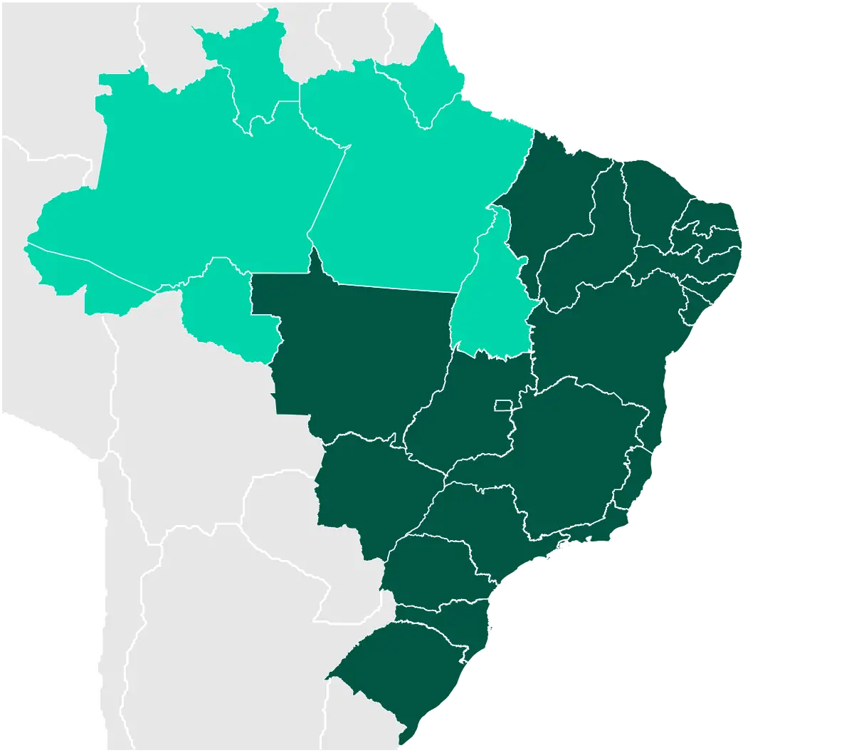
Map of Brazil -
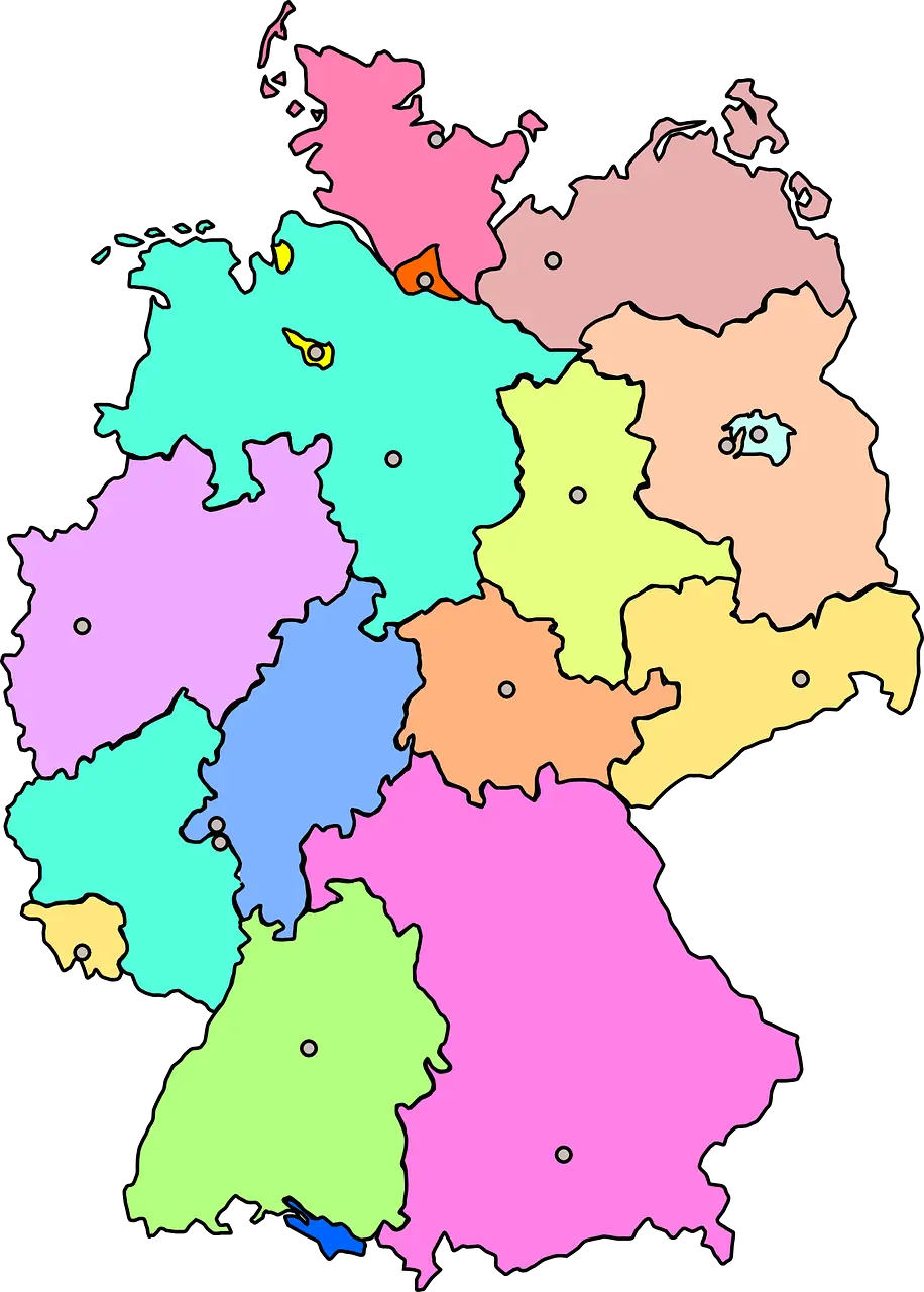
Colorful Map of Germany with Regions -
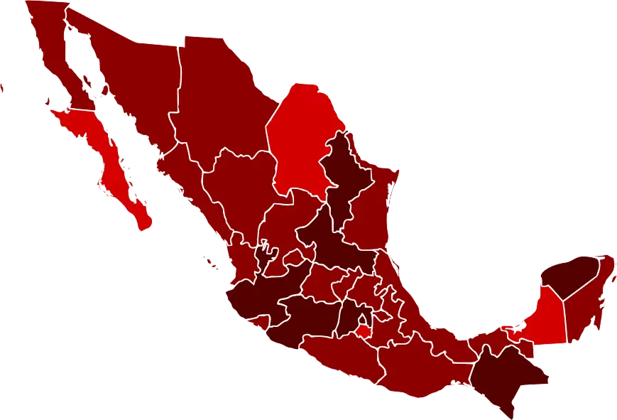
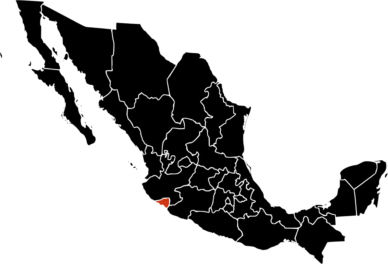
Map of Mexico with Regions Highlighted -
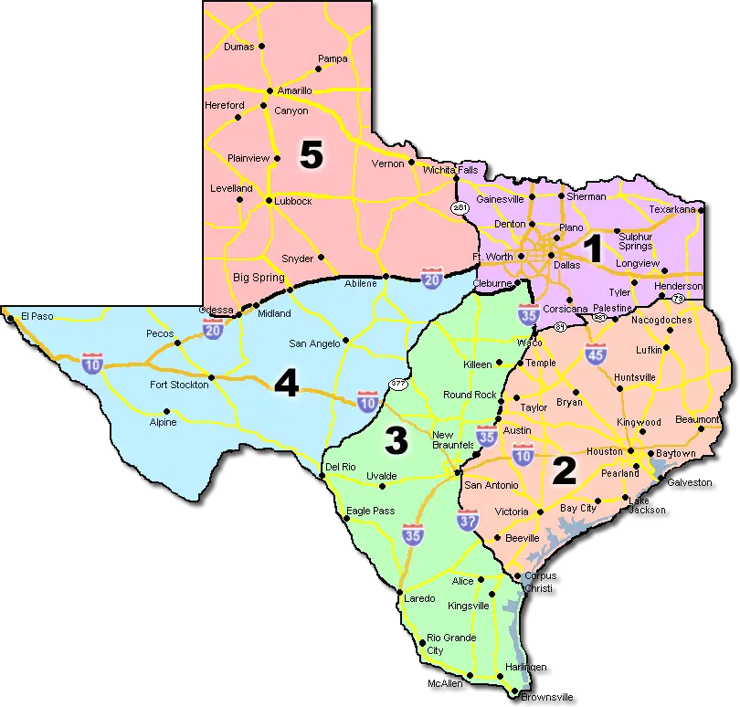
Map of Texas with Regions -

Outline Map of Australia with State Divisions -
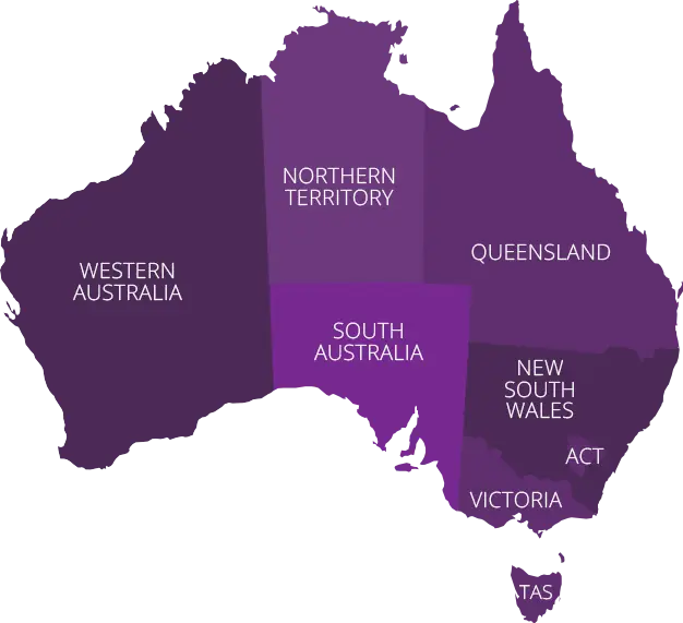
Australian Map with Regional Color Variations -
Colored Map of Germany with Regional Divisions -

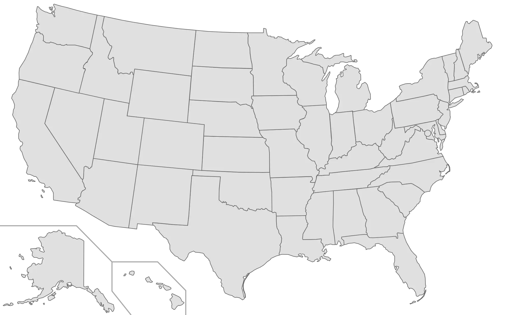
Outline Map of the United States with State Borders -
Blank USA Map Outline for Study -
Colored USA Map with State Divisions -
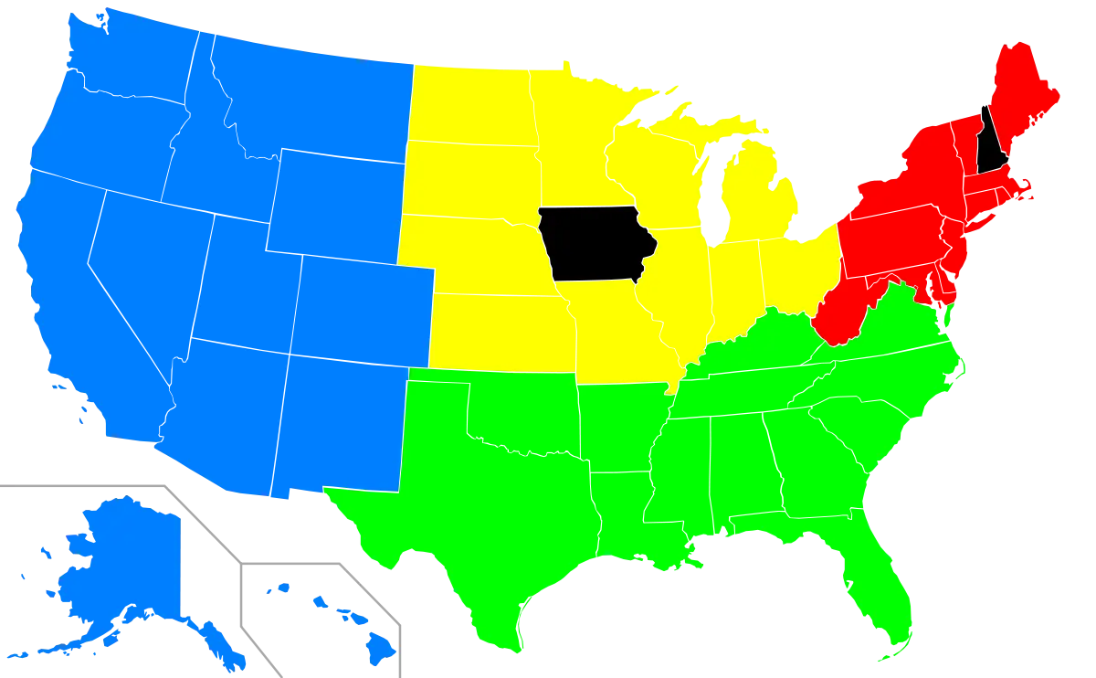
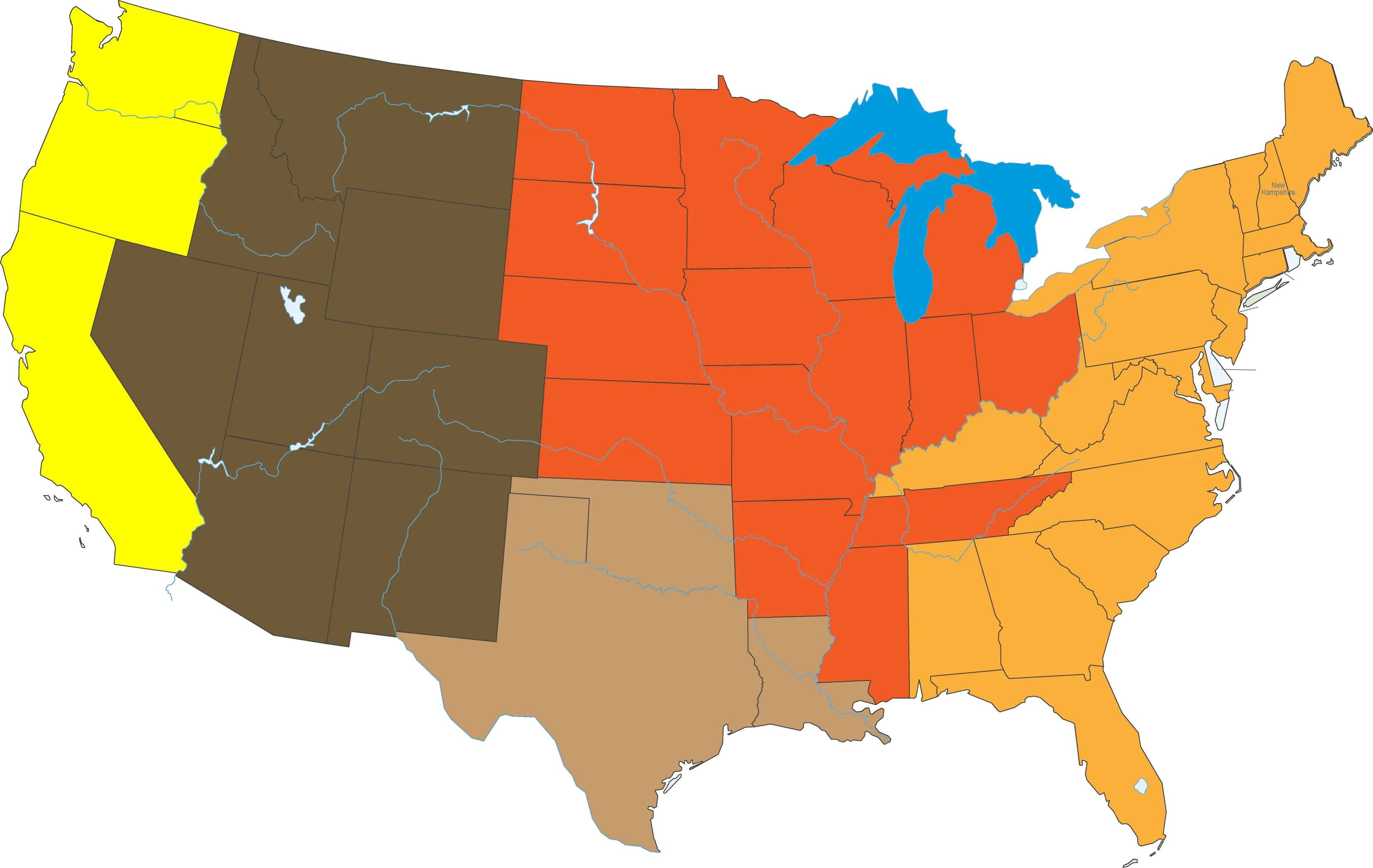
Color-Coded Map of the United States Regions -
Outline and Region Illustration of Australia Map -
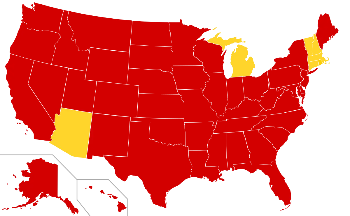
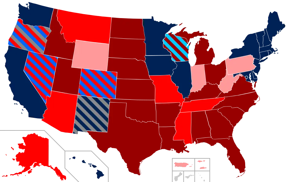
Red and Yellow USA Map Visualization -
Color-Coded United States Map Illustration -

USA Map with Heart Locations -
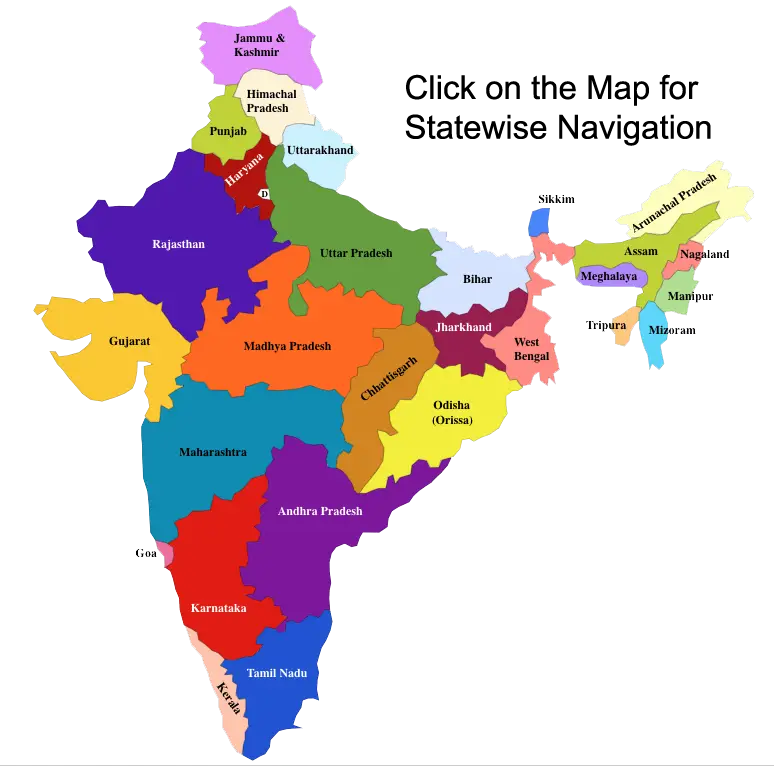
Colorful Map of India with States -
Map of USA with Highlighted States -
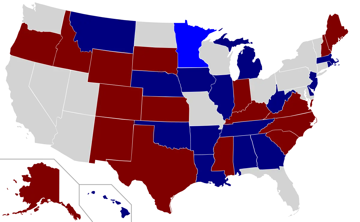
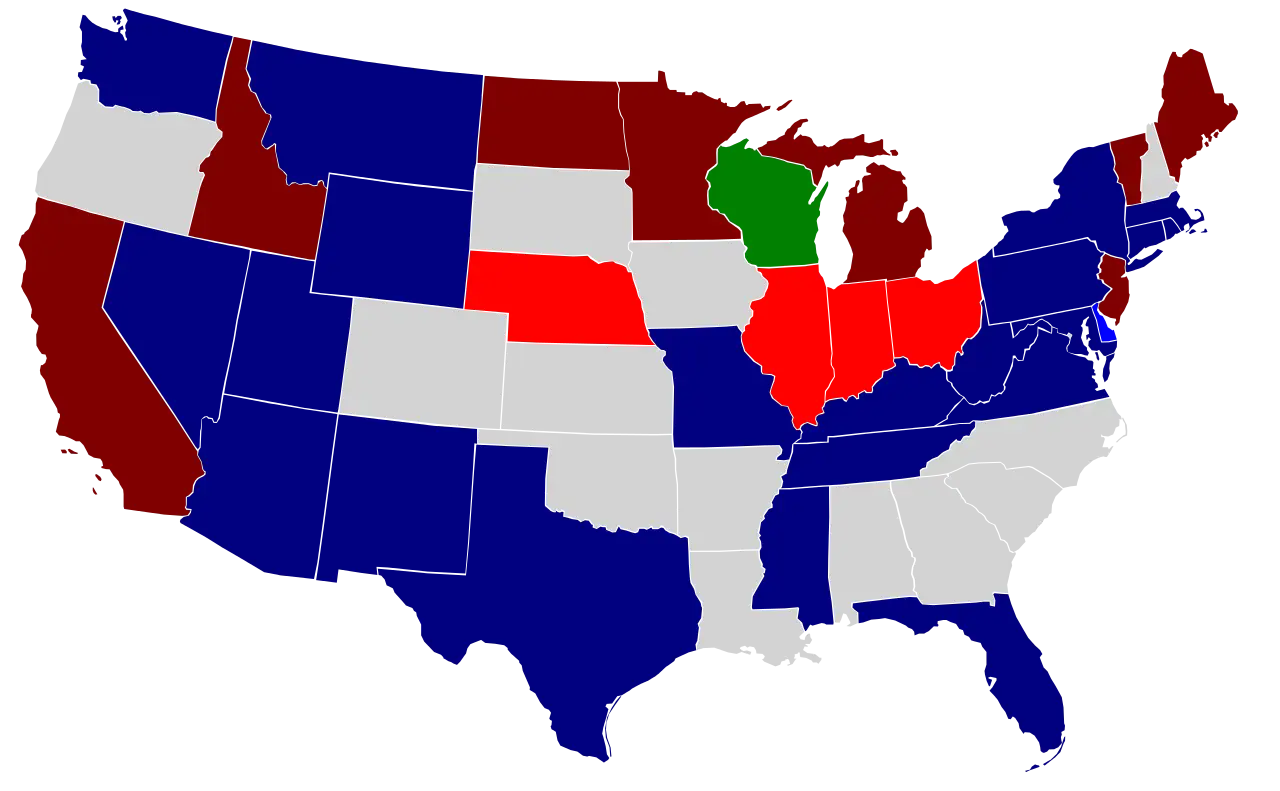
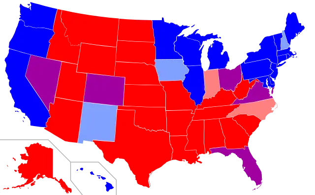
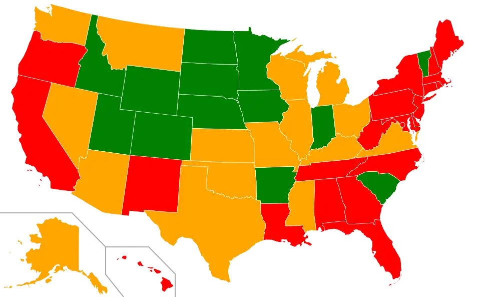
Color-Coded USA Political Map -
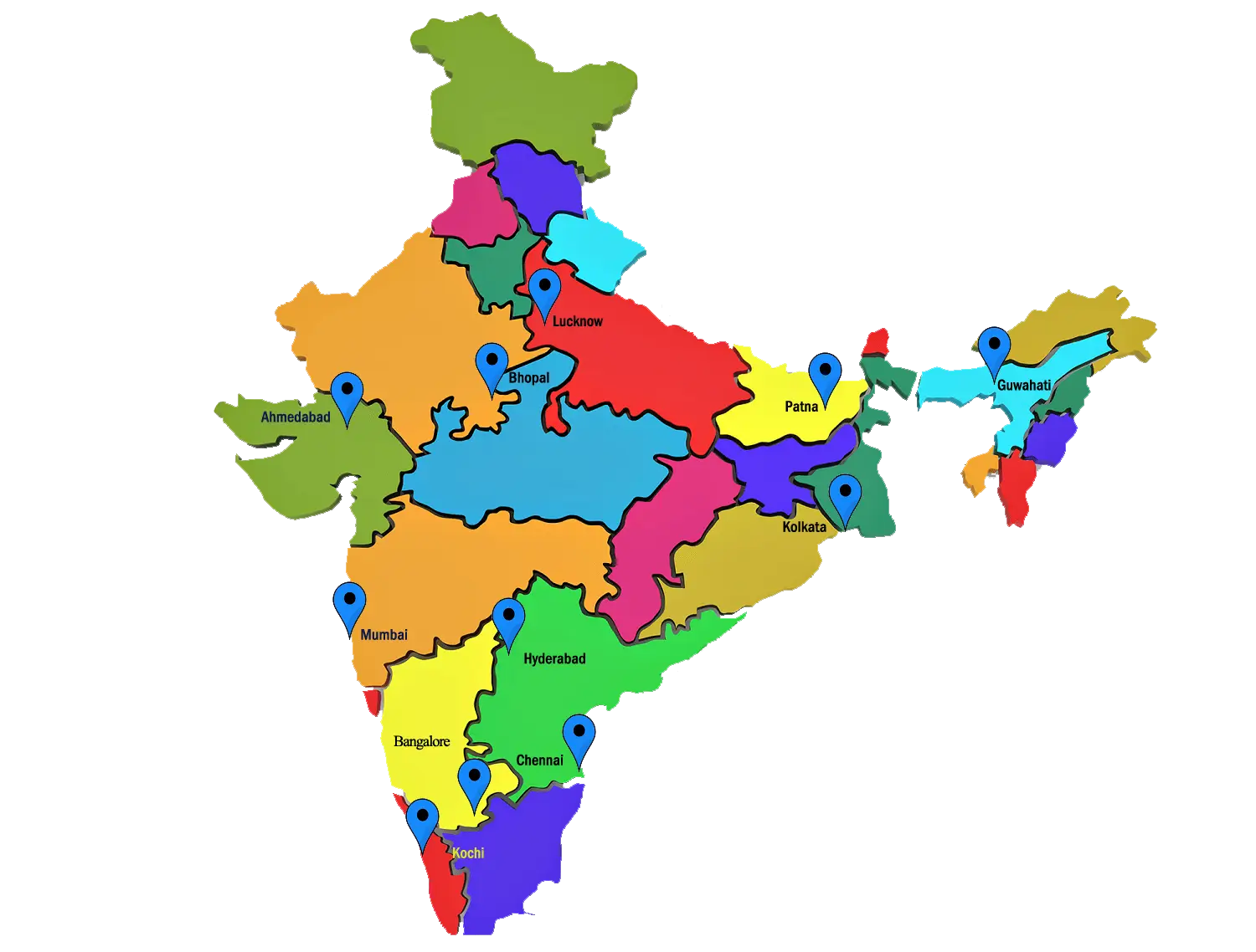
Colorful Map of India with Locations -
Geographic Map of the United States -

Finite State Machine Diagram -
Color-Coded Map of the USA States -
Blue Map of Australia -

USA Map with Highlighted States for Geographical Reference -
Blue United States Map -
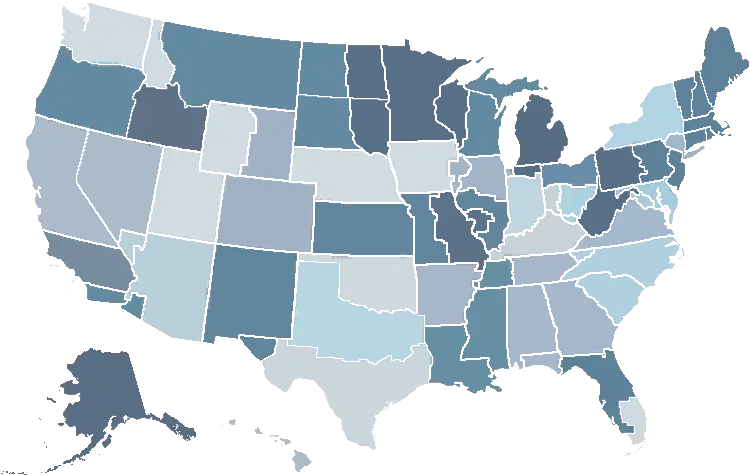
Gradient Color Map of United States -
Color-coded USA Political Map -
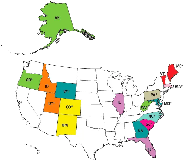
Color-Coded Regional Map of the USA -
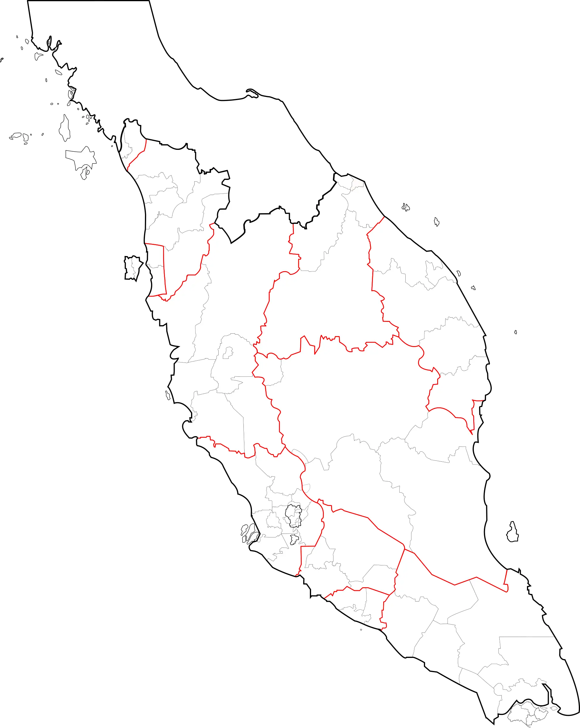
Peninsular Malaysia Map Outline -
Outline Map of the United States of America -
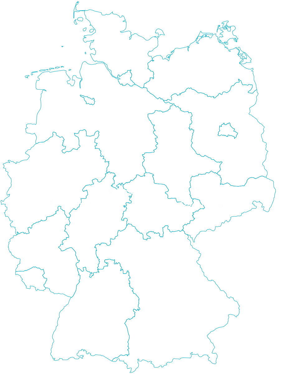
Outline Map of Germany with Borders -
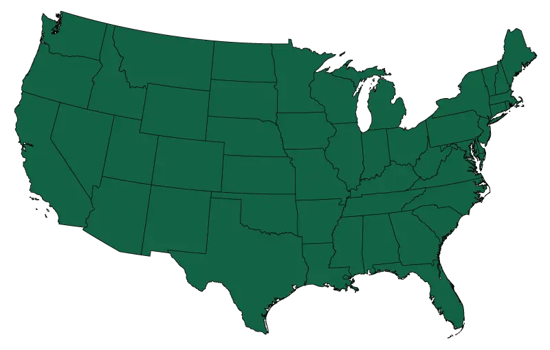
Green Outline Map of the United States -
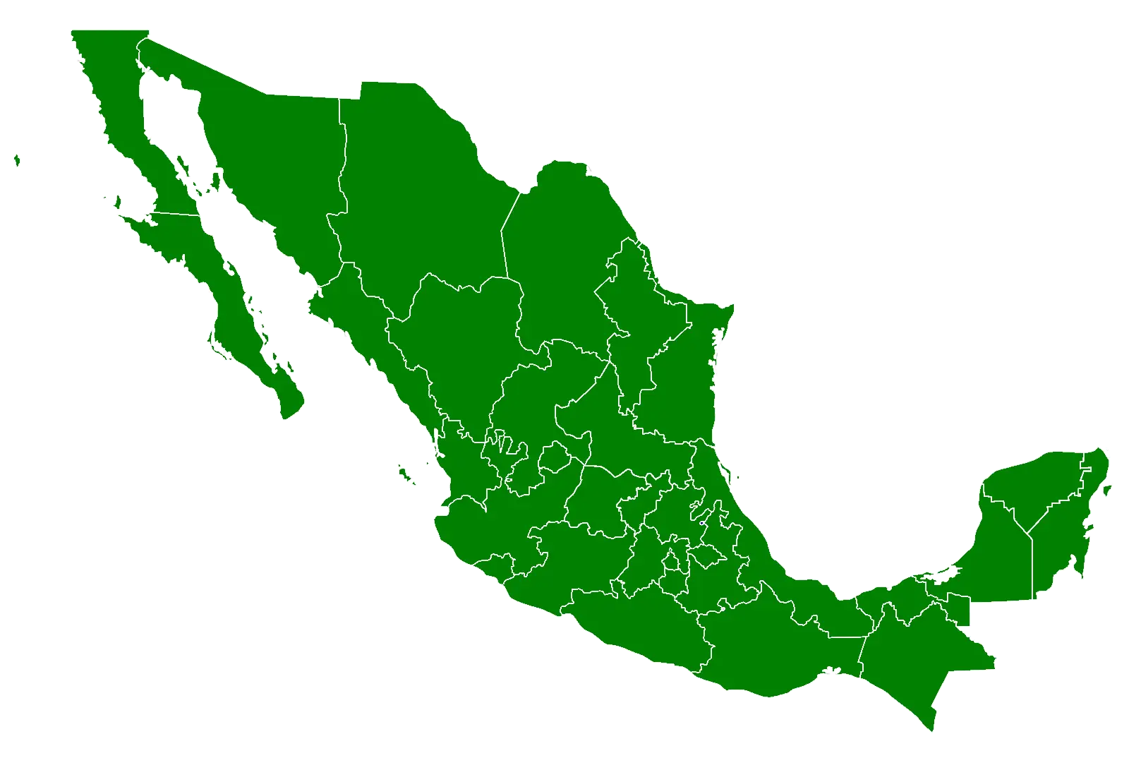
Green Map of Mexico -
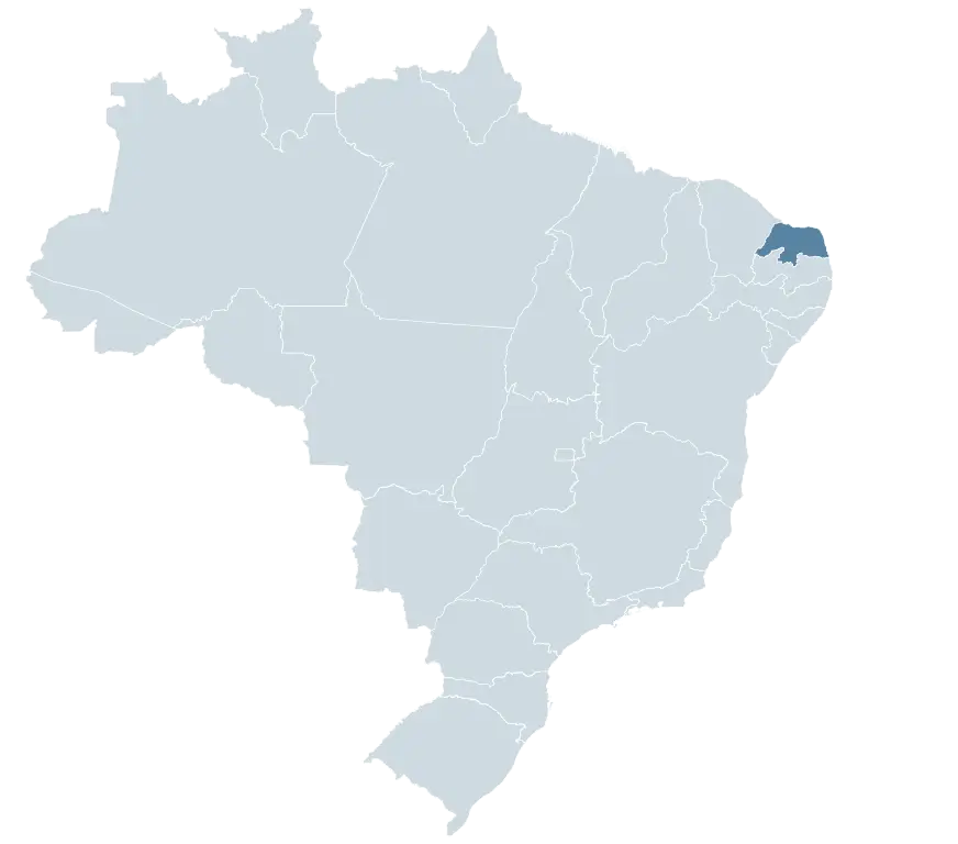
Map of Brazil with Highlighted State -
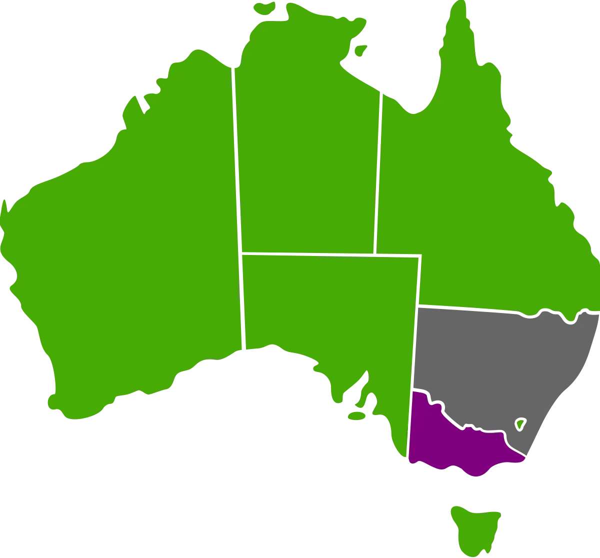
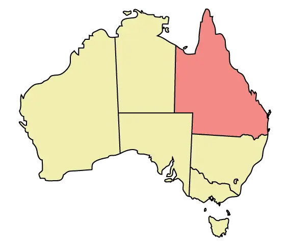
Map of Australia Highlighting States -
Color-Coded Map of the U.S. Regions -
Color-Coded USA State Map -
Black and White Map of Mexico -
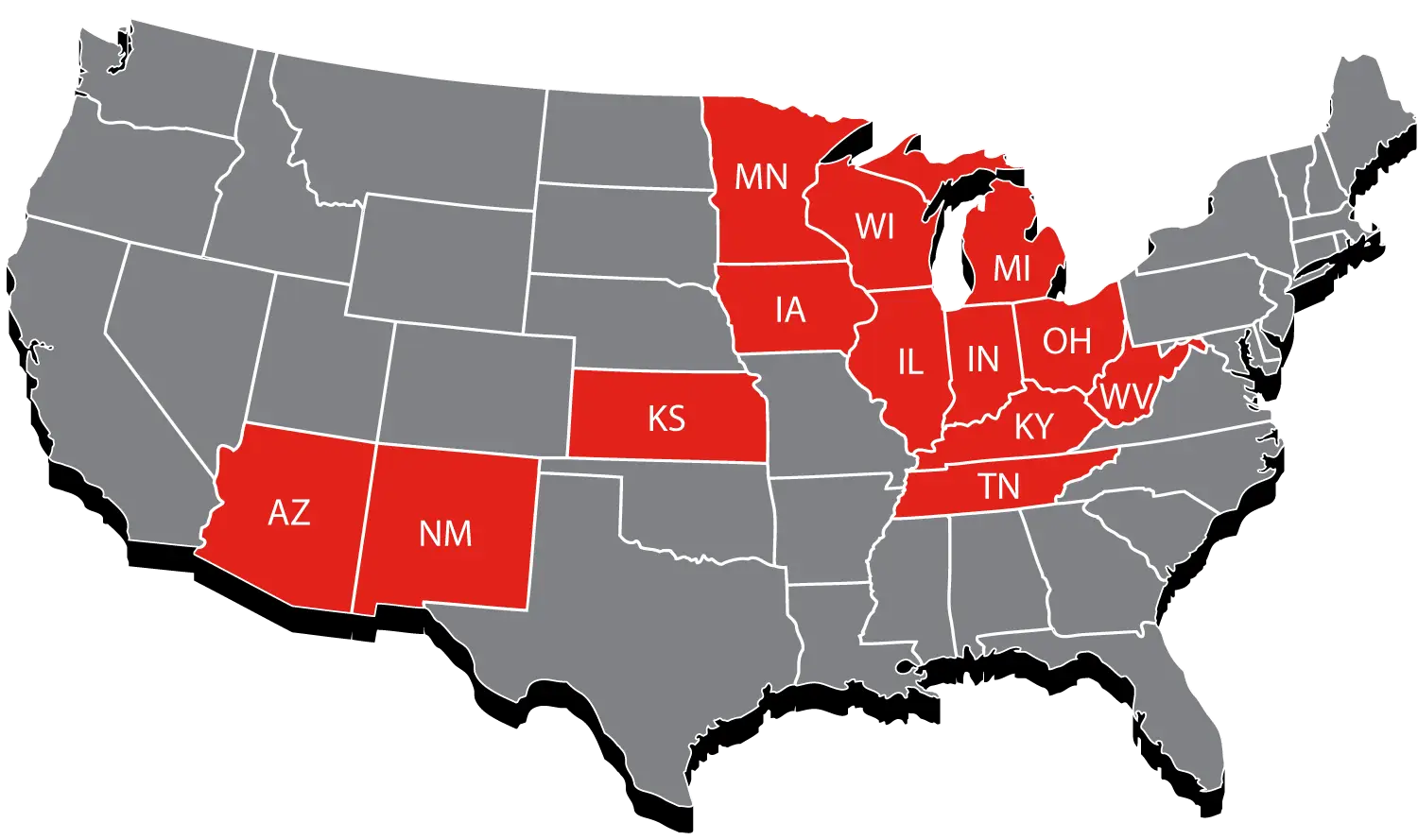
USA Map with Highlighted States in Red