You Might Like
-

Digital Connector with Binary Code -

Colored Regional Map of Africa -
Black and White Envelopes for Mailing -
Telkom Indonesia Official Logo -
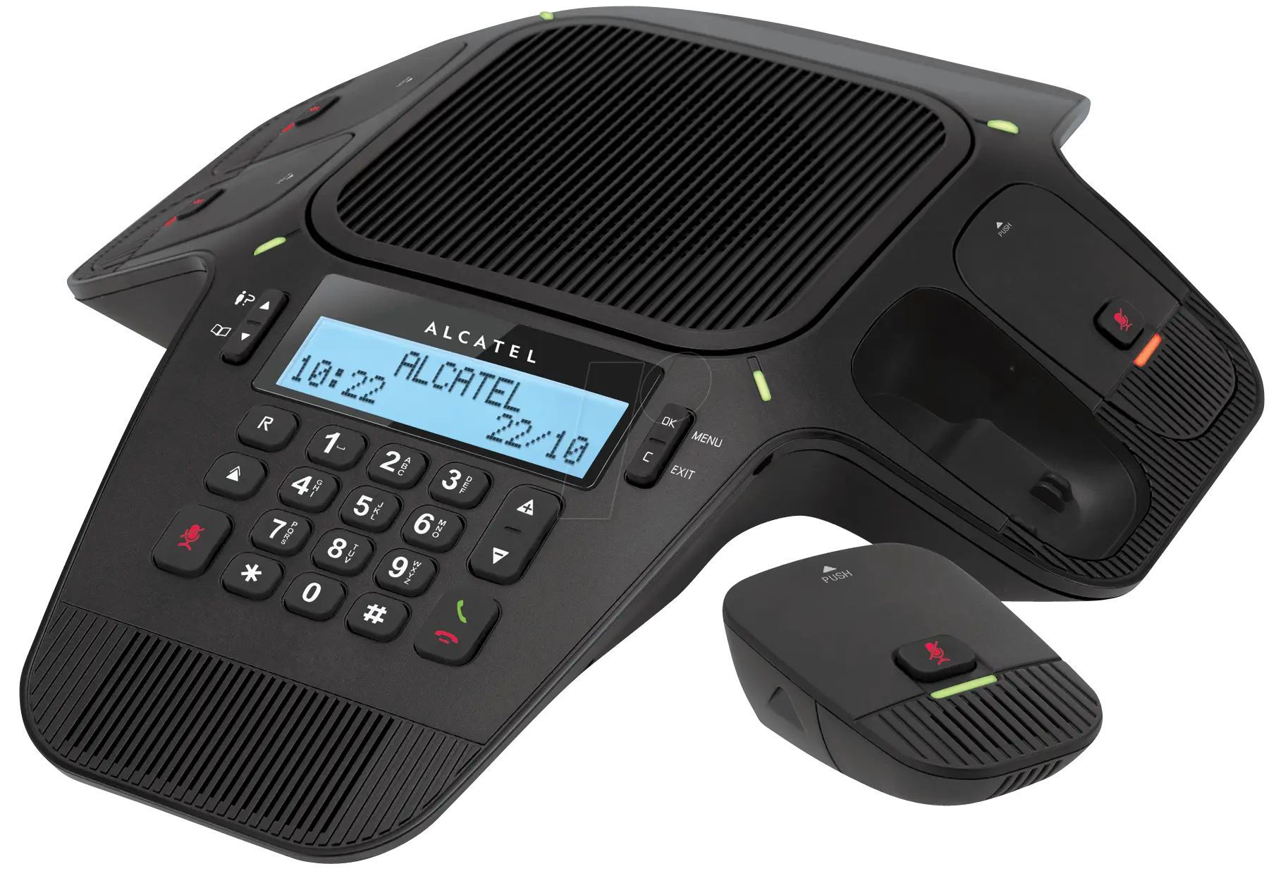
Modern Office Conference Phone System -

Communication Icon -

Megaphone for Announcements Art -

Blue Globe Network Icon -

Outdoor TV Antenna for Better Broadcast Reception -

Silhouette with Speech Bubble -

Speech Bubble for Comic or Art -

Purple Phone Call Icon with Notification -

Golden Bell Illustration -

Blue Globe with Continents Illustration -

Satellite Dish Icon -

Blue Globe Model for Geography Learning -

Map of the Soviet Union with Highlighted Regions -

Computer Tower with Phone Icon -

Phone Symbol for Communication -

Free WiFi Area Logo -

Chat Bubble with Lightning Icon Design -
Blue Walkie-Talkie Communication Device -

Businessman in a Suit Checking Phone -

Green Globe Icon Representing Sustainability -
Classic Telephone Silhouette Icon -
White BlackBerry Phone with Keyboard -

Black Speech Bubble Icon for Communication -

Open Signboard Icon for Business Representation -

Complete Blue World Map -

Cartoon Figure Holding Tablet