Free Countries Cliparts and Illustrations
Free 55 countries cliparts & illustrations for your personalized works, such as world map highlighting english-speaking countries, map of europe with country highlights, global map with highlighted regions, globe covered with country flags and many more.
-
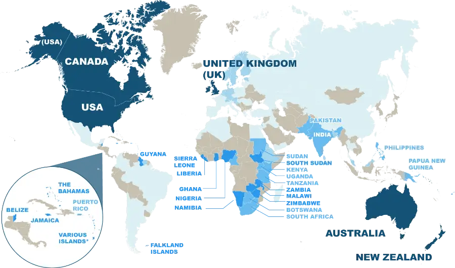
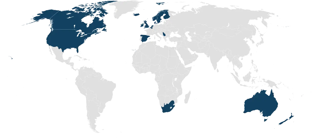
World Map Highlighting English-Speaking Countries -
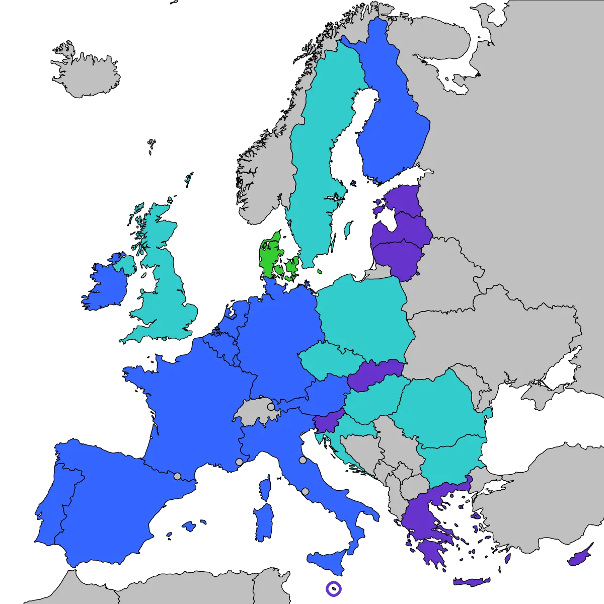
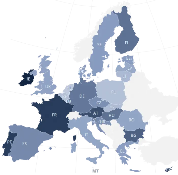
Map of Europe with Country Highlights -
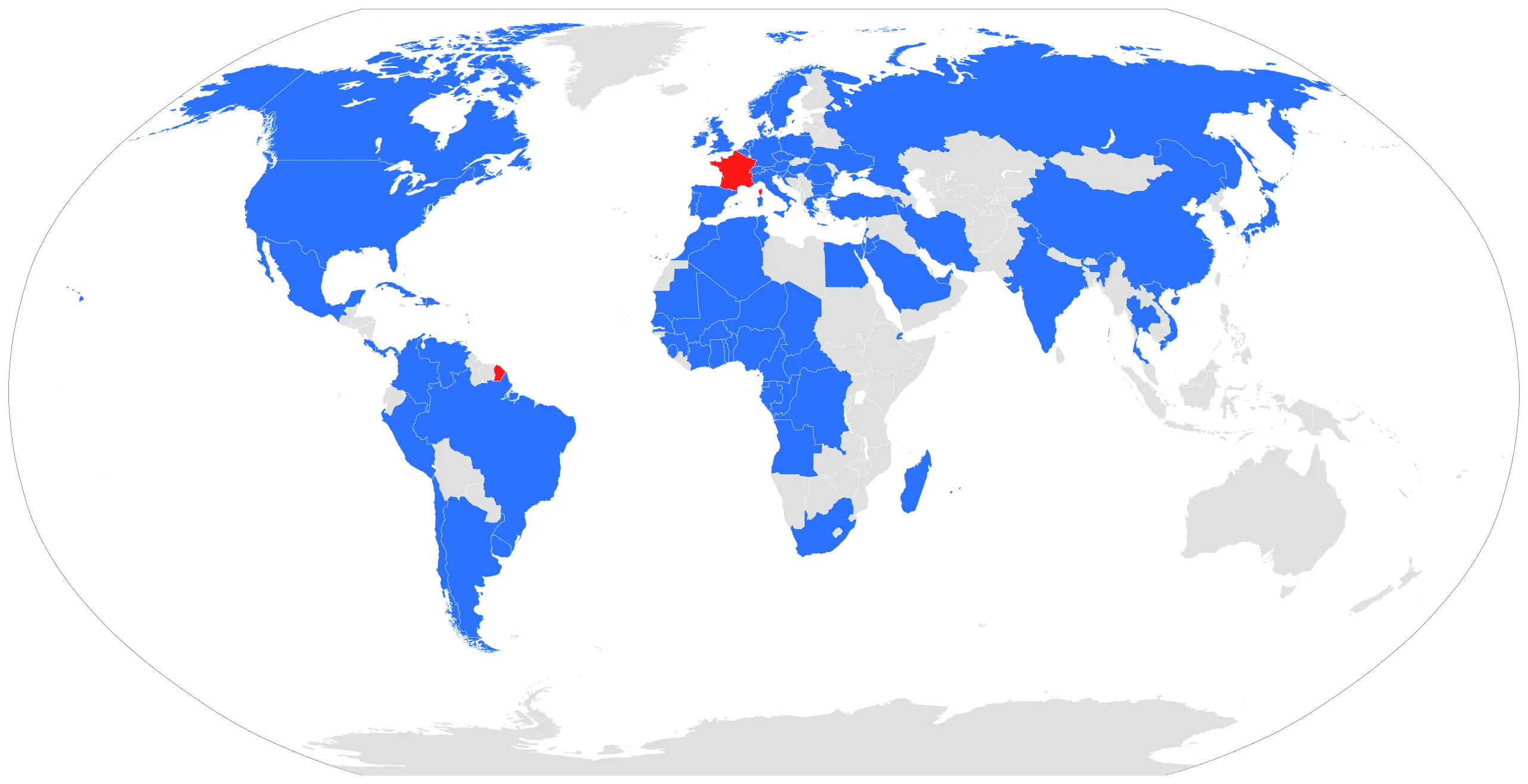
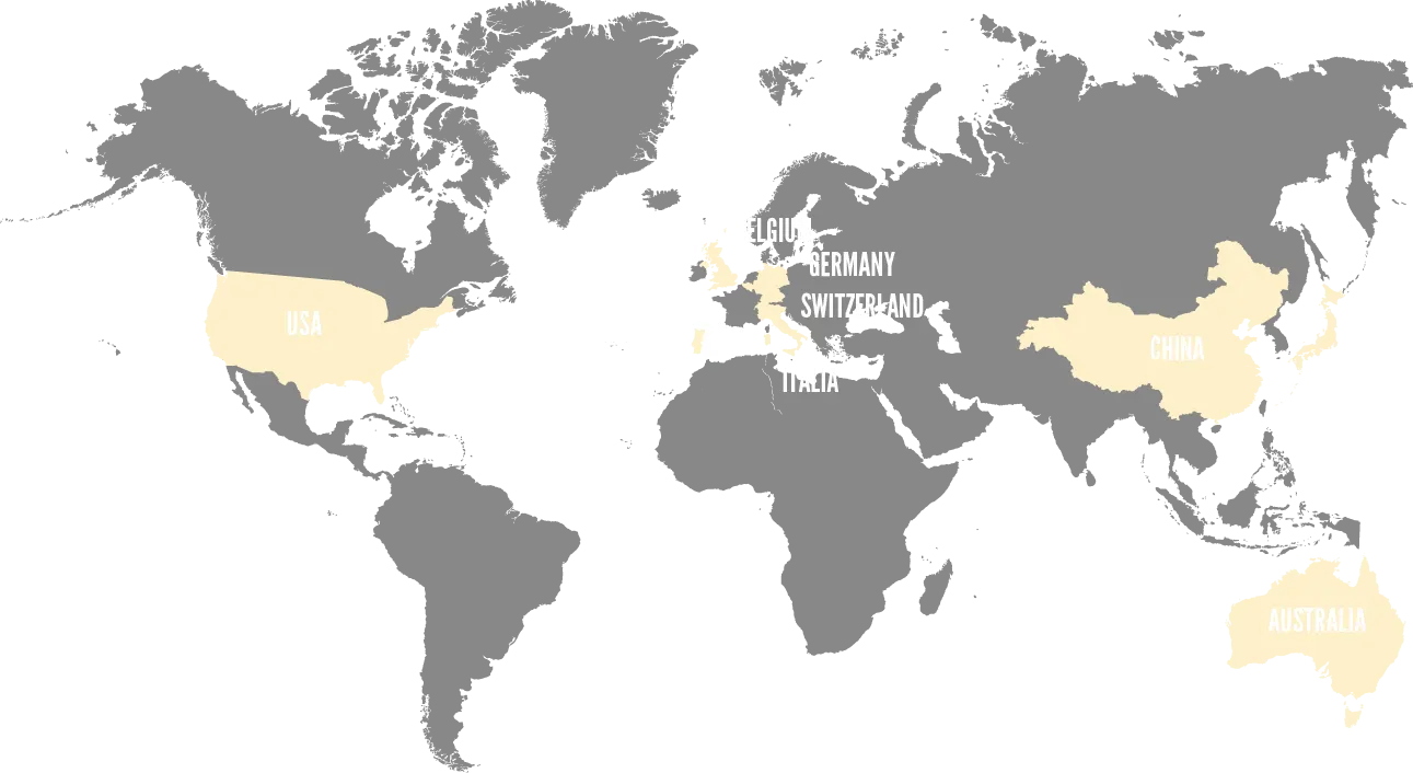
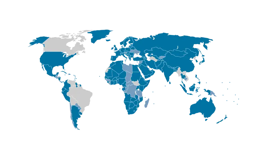
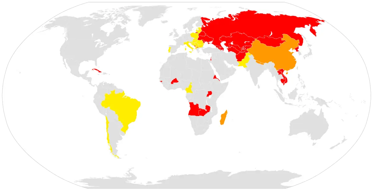
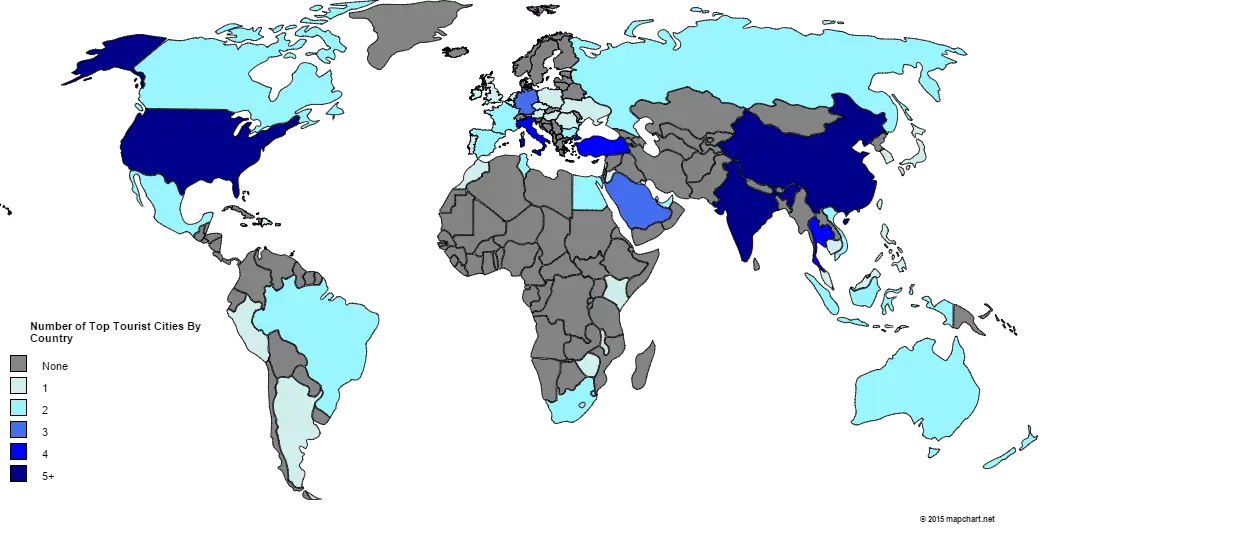
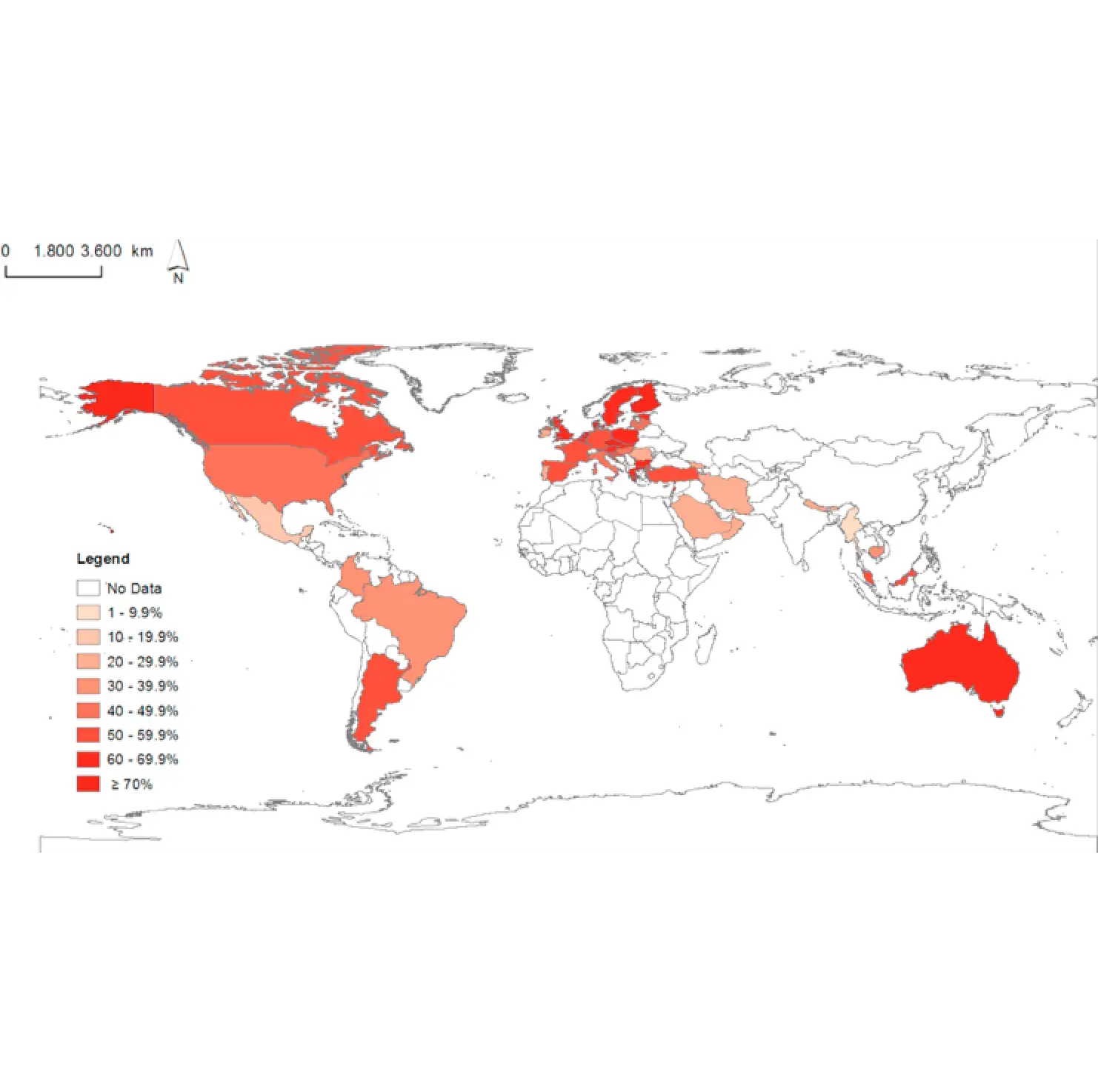
Global Map with Highlighted Regions -
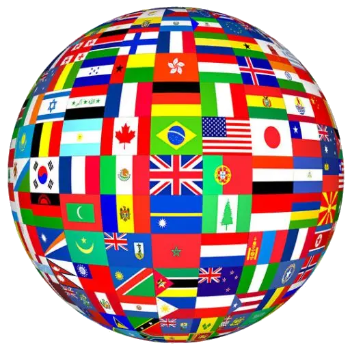
Globe Covered with Country Flags -
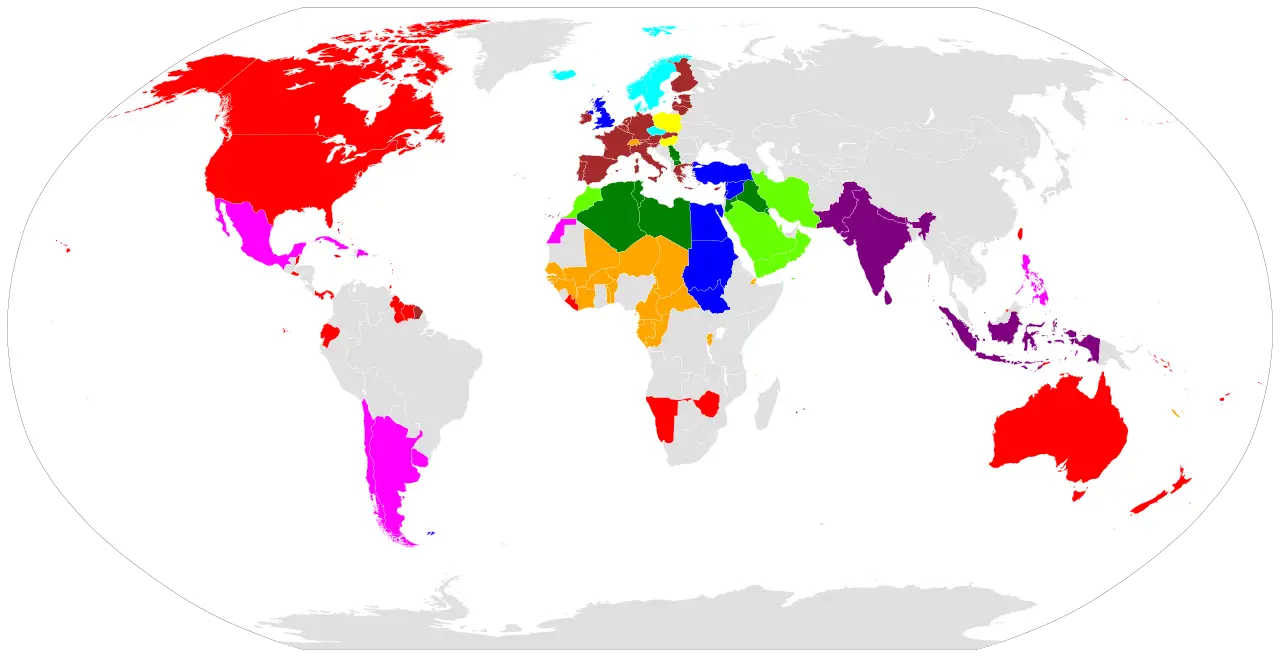
Simplistic World Map Graphic with Highlighted Regions -
Simplified World Map with Highlighted Regions -
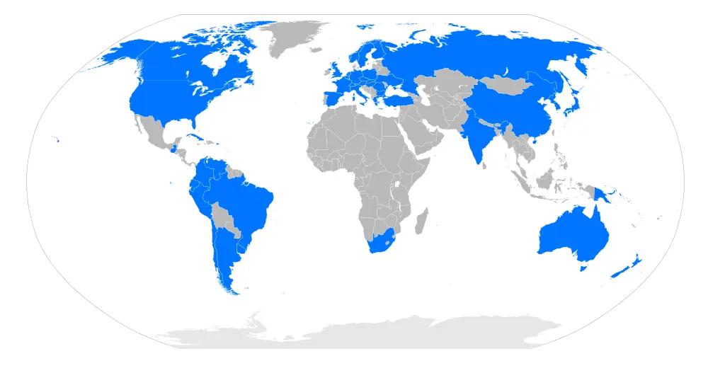
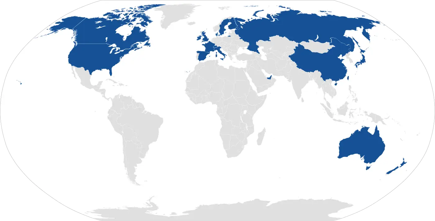
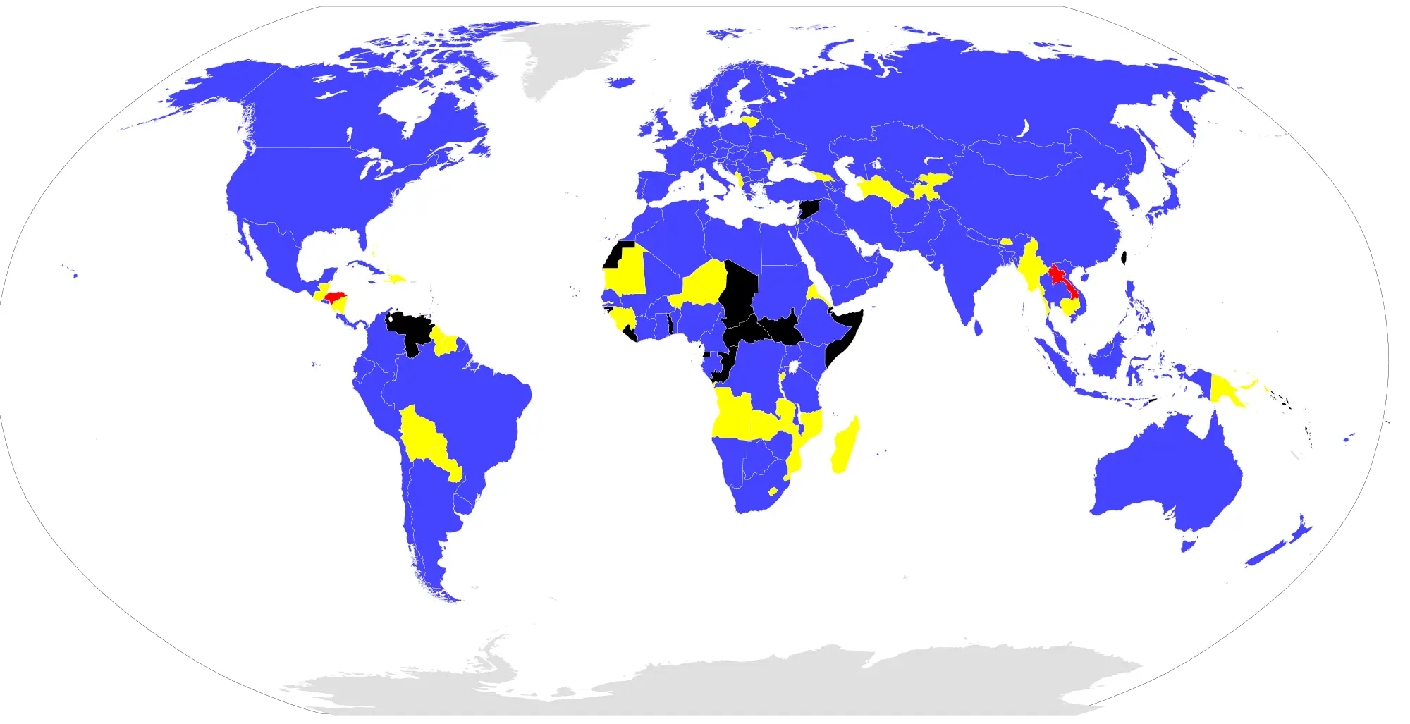
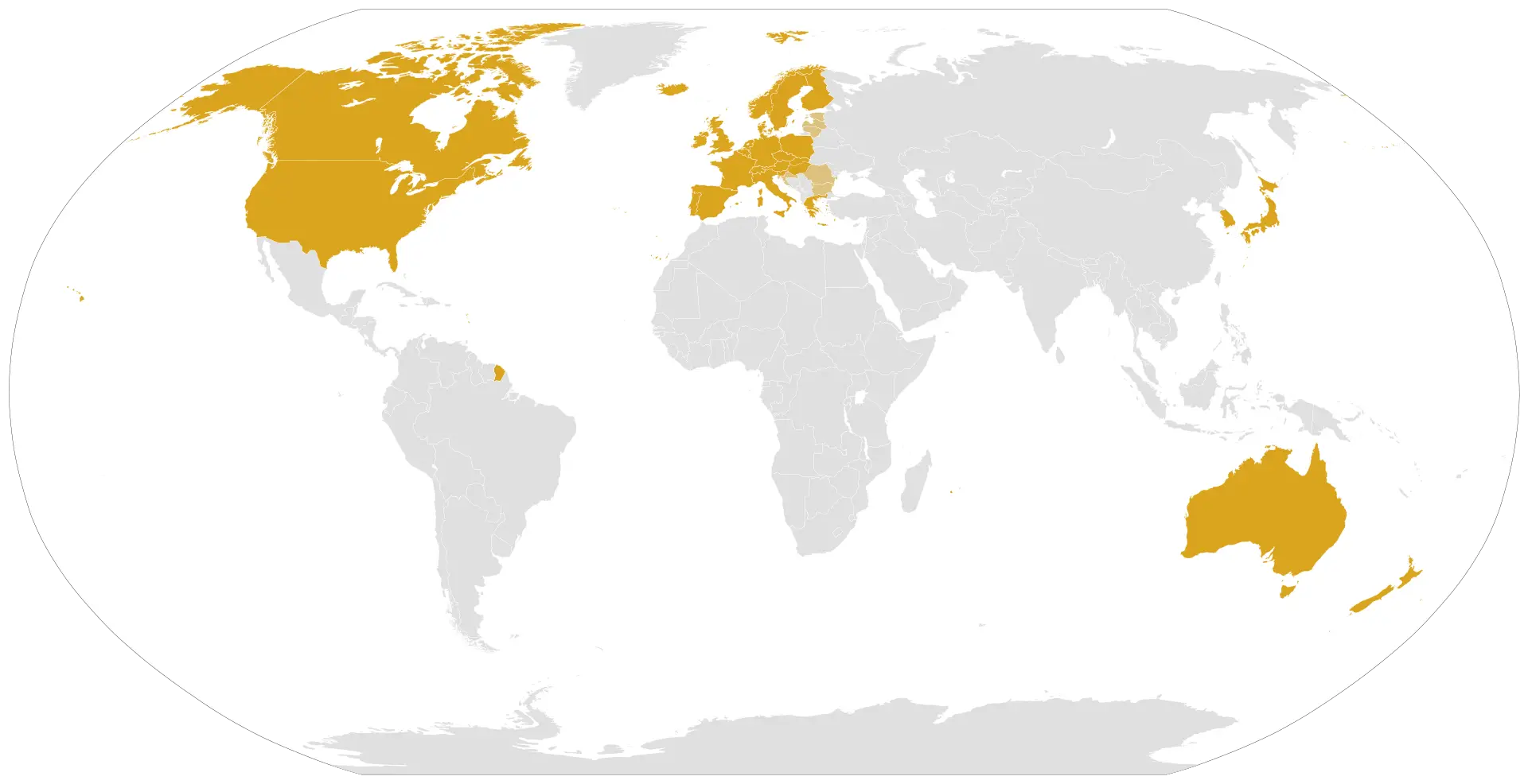
World Map with Highlighted Countries -
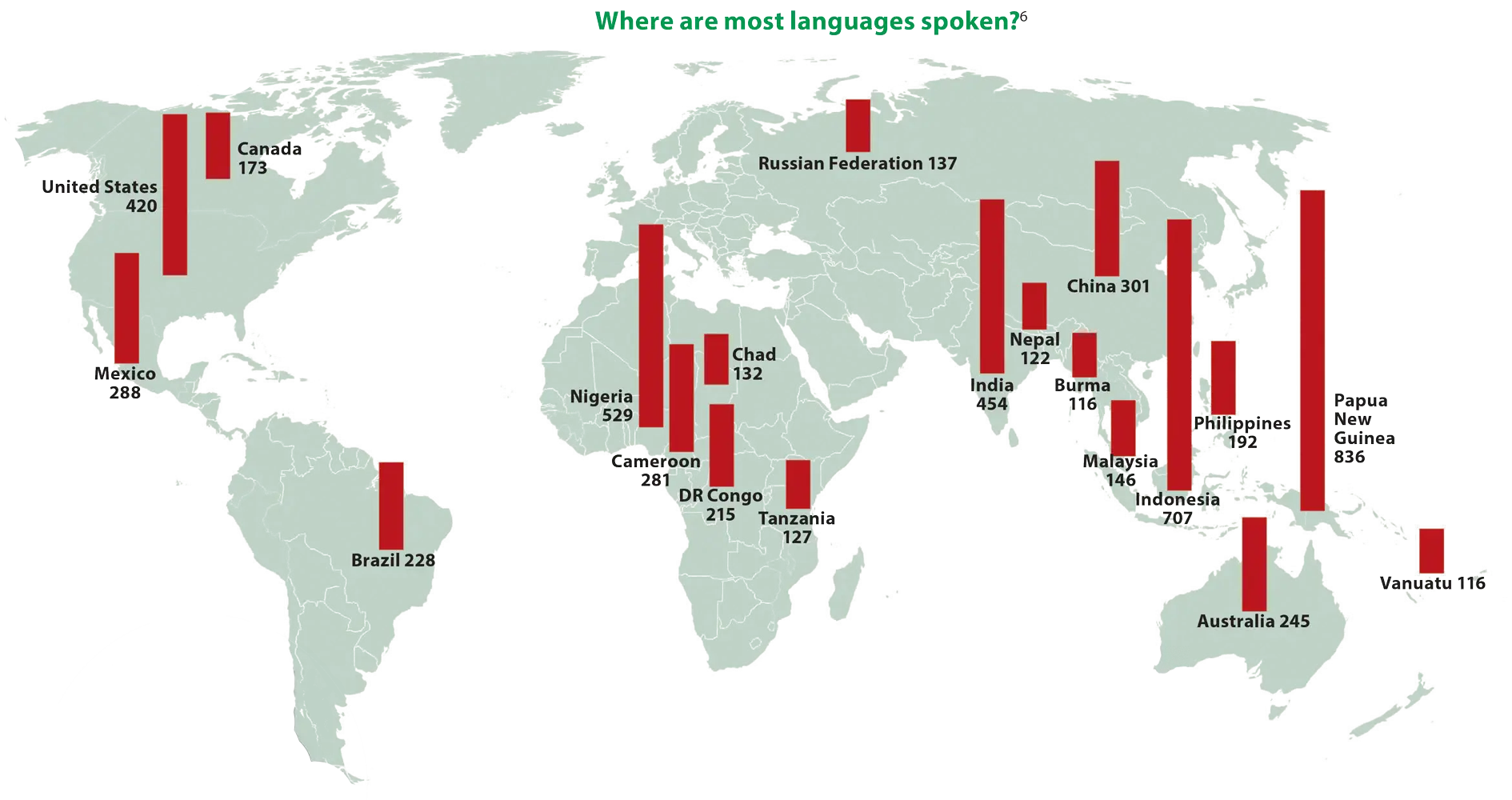
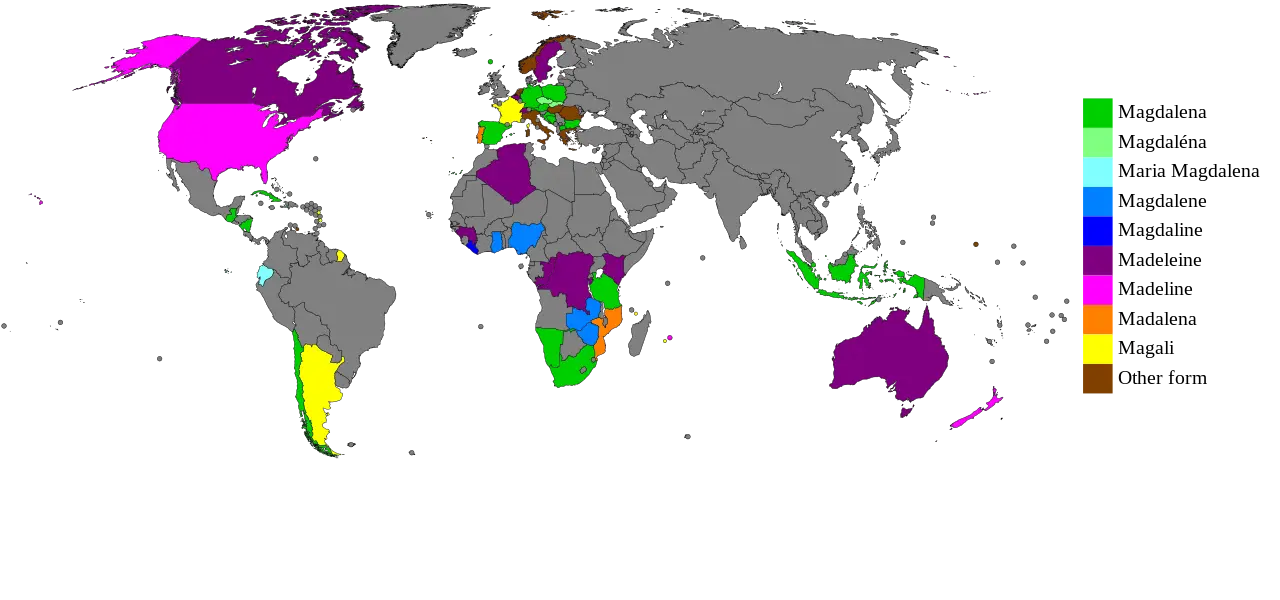
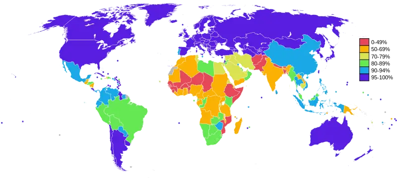
World Map Showing Language Distribution -
Blue and Gray Editable World Map -
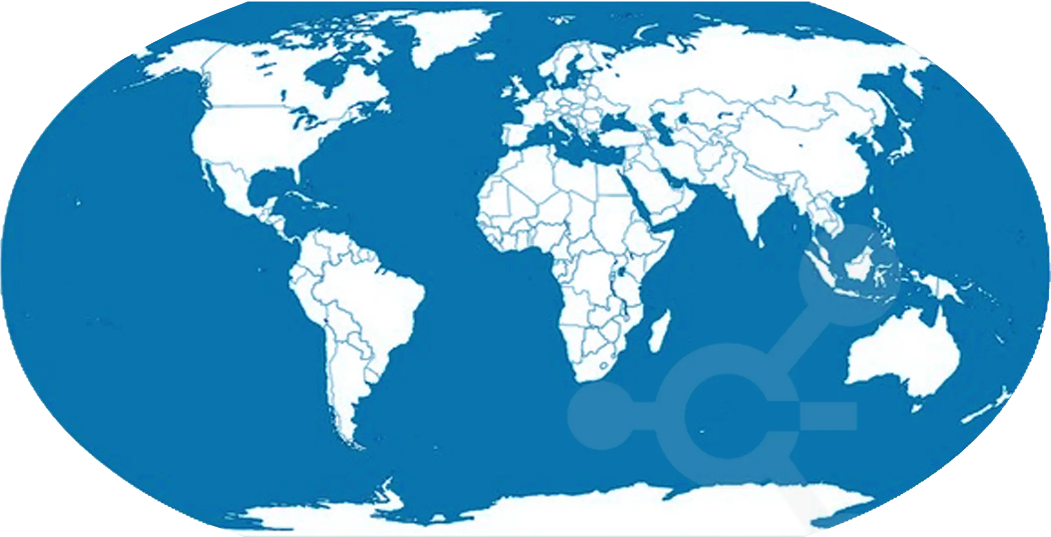
Blue World Map for Geographical Representation -
Transparent World Map Illustration -
Blue and Grey World Map Illustration -
Blue and White World Map -
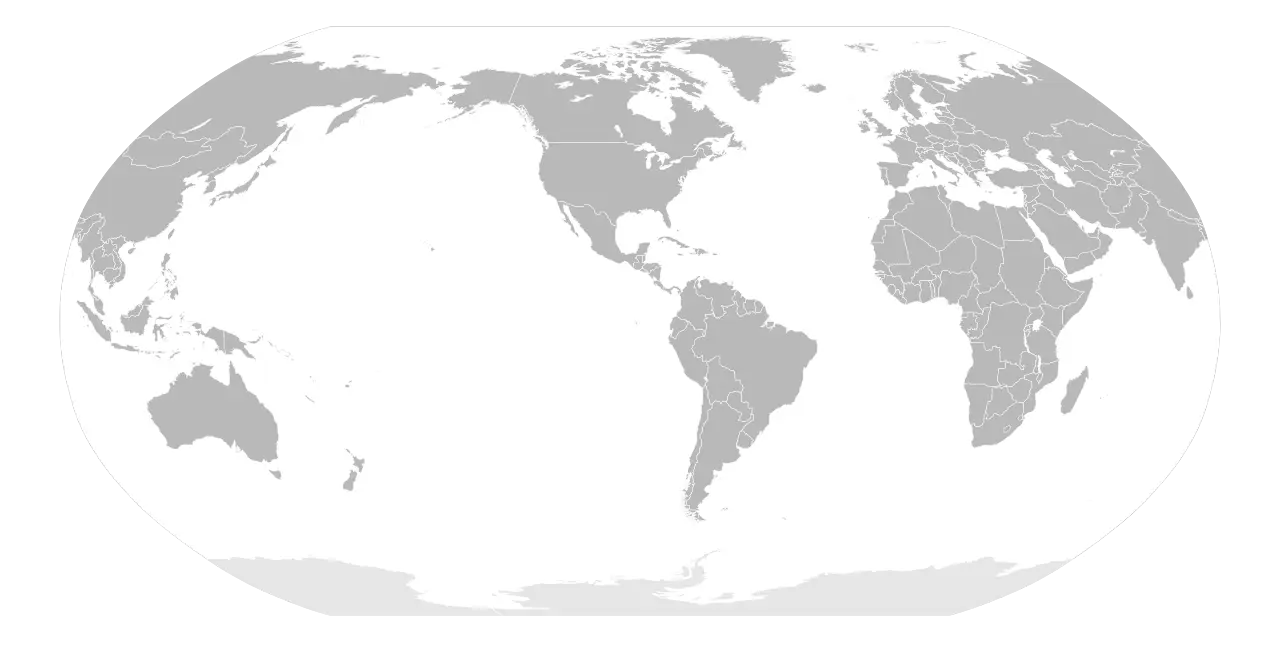
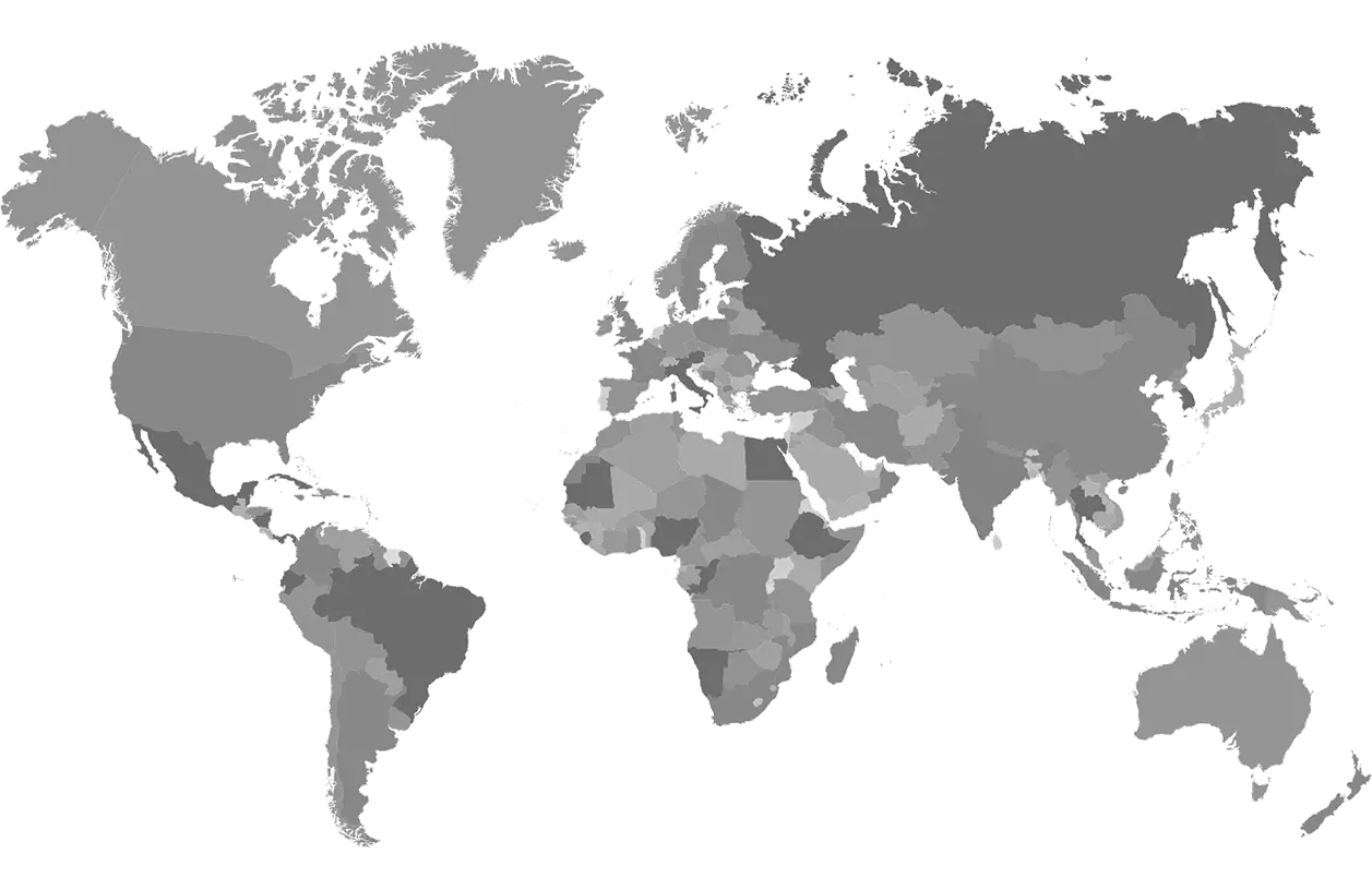
Gray World Map Illustration -
Color-Coded World Map -
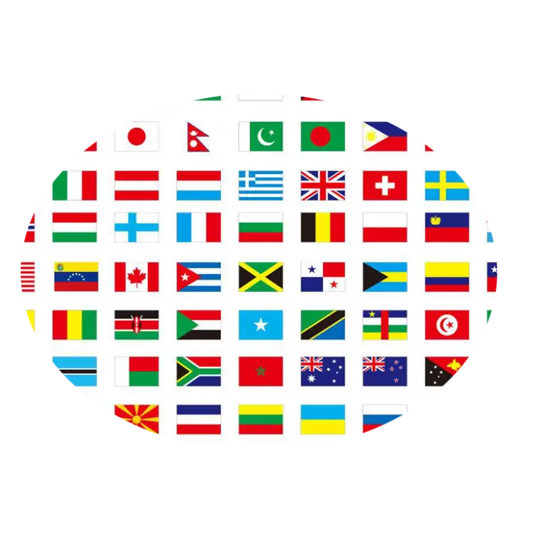
Collection of International Flags -
Blue and White World Map Illustration -
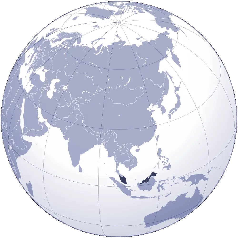
Global Map Highlighting Asia -
Gray World Map Illustration -
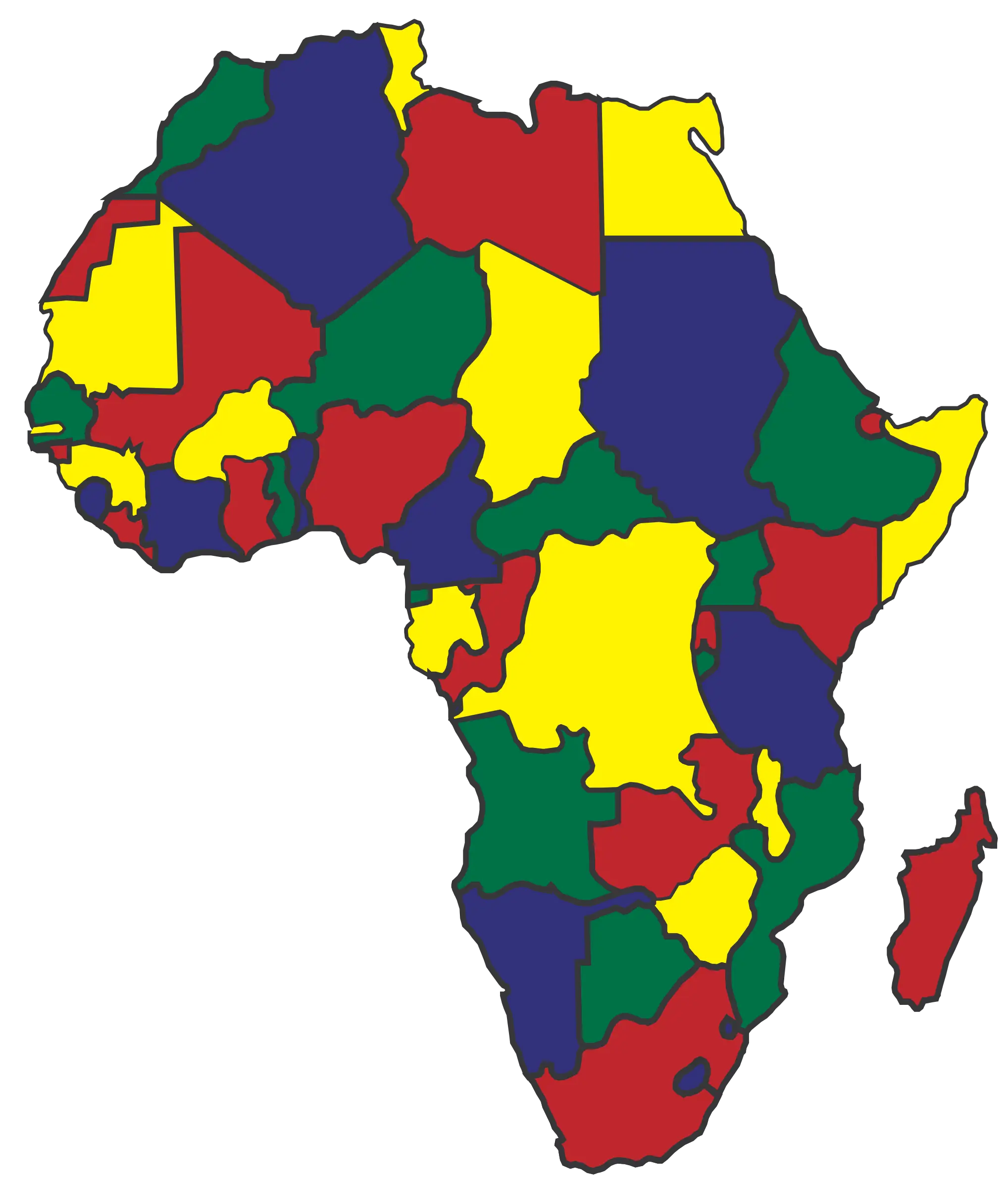
Color-coded Map of Africa with Boundaries -
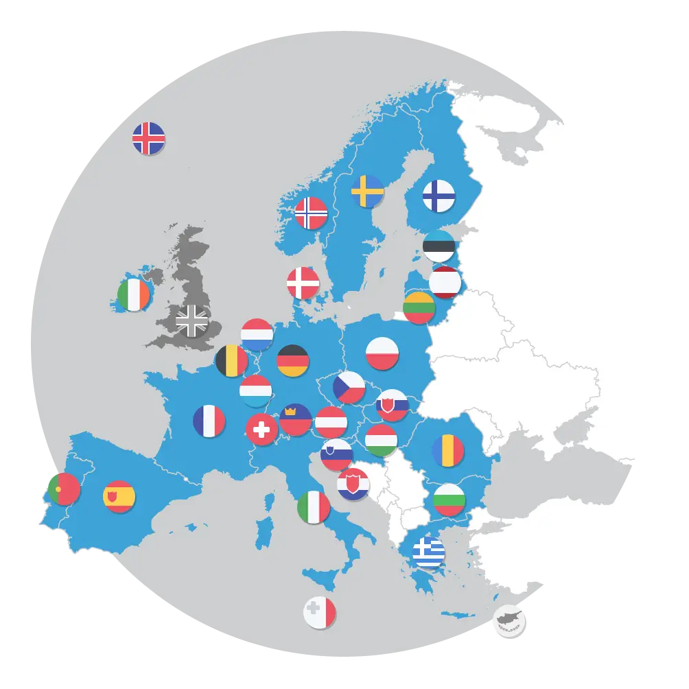
European Countries Map with Flags -
World Map with Country Names -
Colored World Map for Geographic Representation -
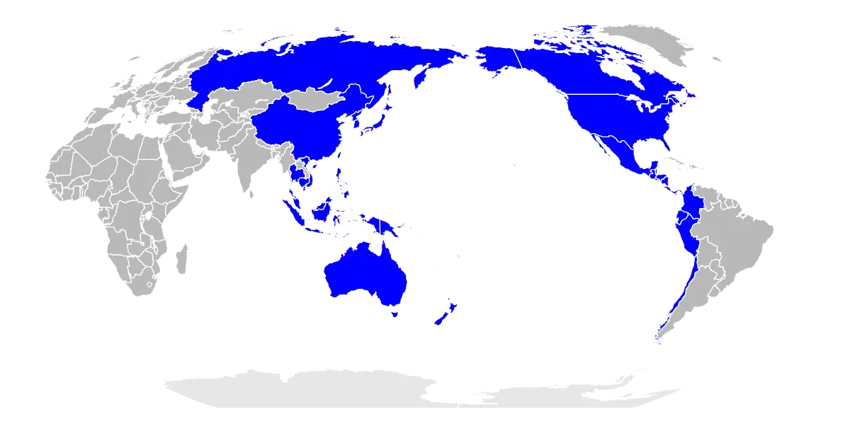
World Map with Marked Countries in Blue -
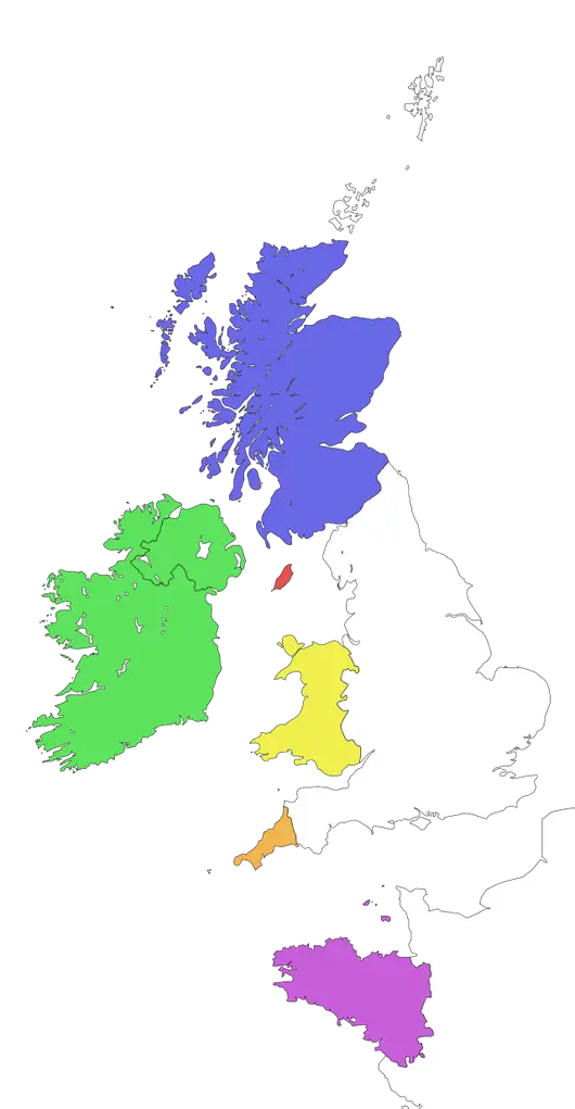
Colored Map of United Kingdom and Ireland -
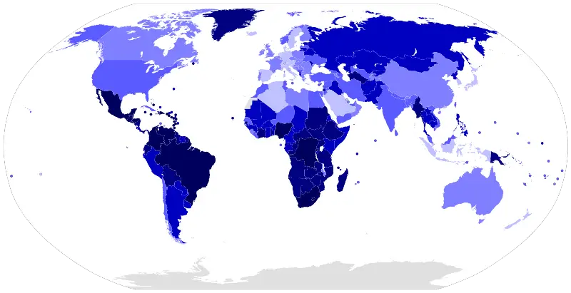
World Map with Blue Gradient Design -
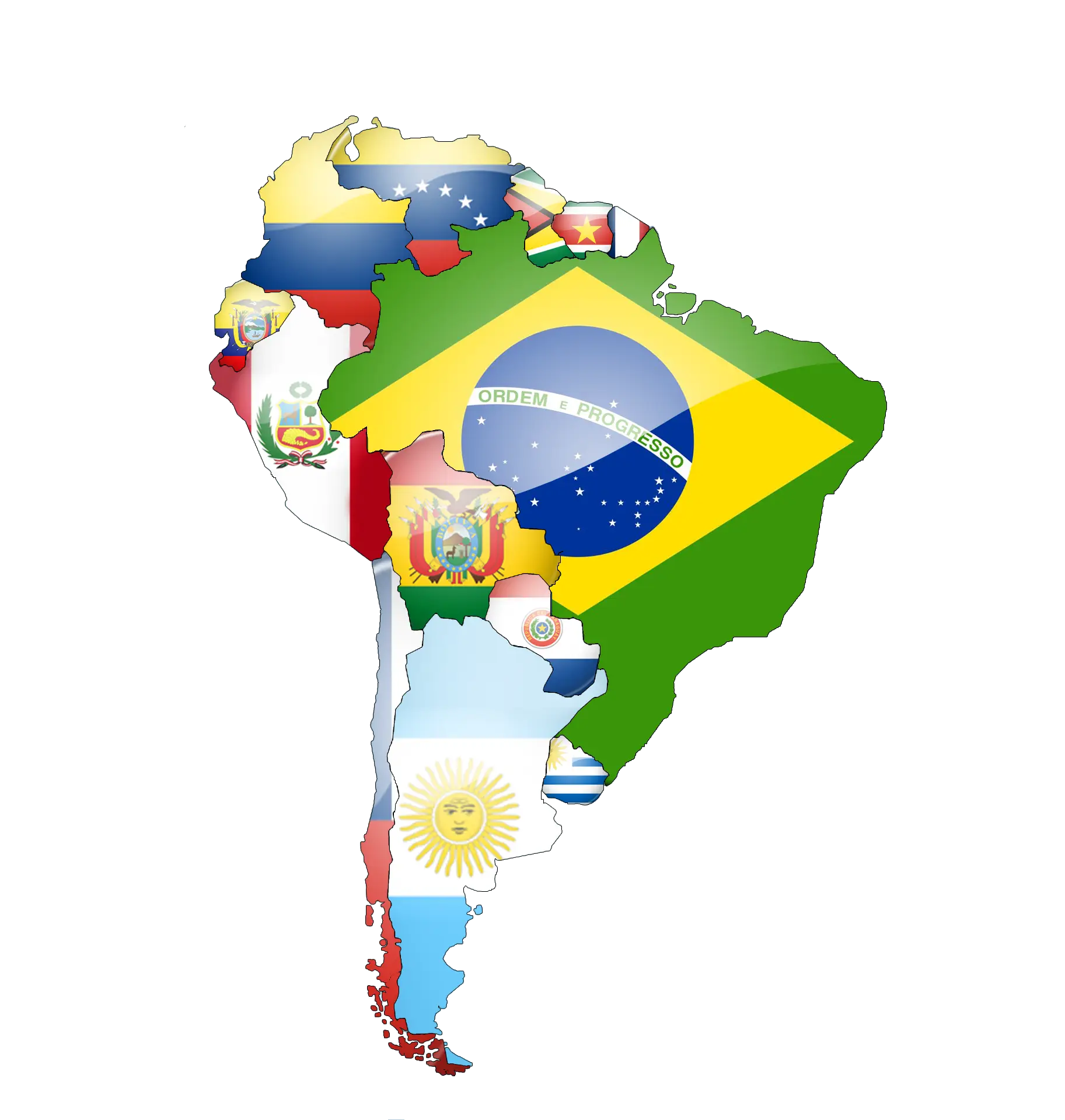
Map of South America Featuring Country Flags -
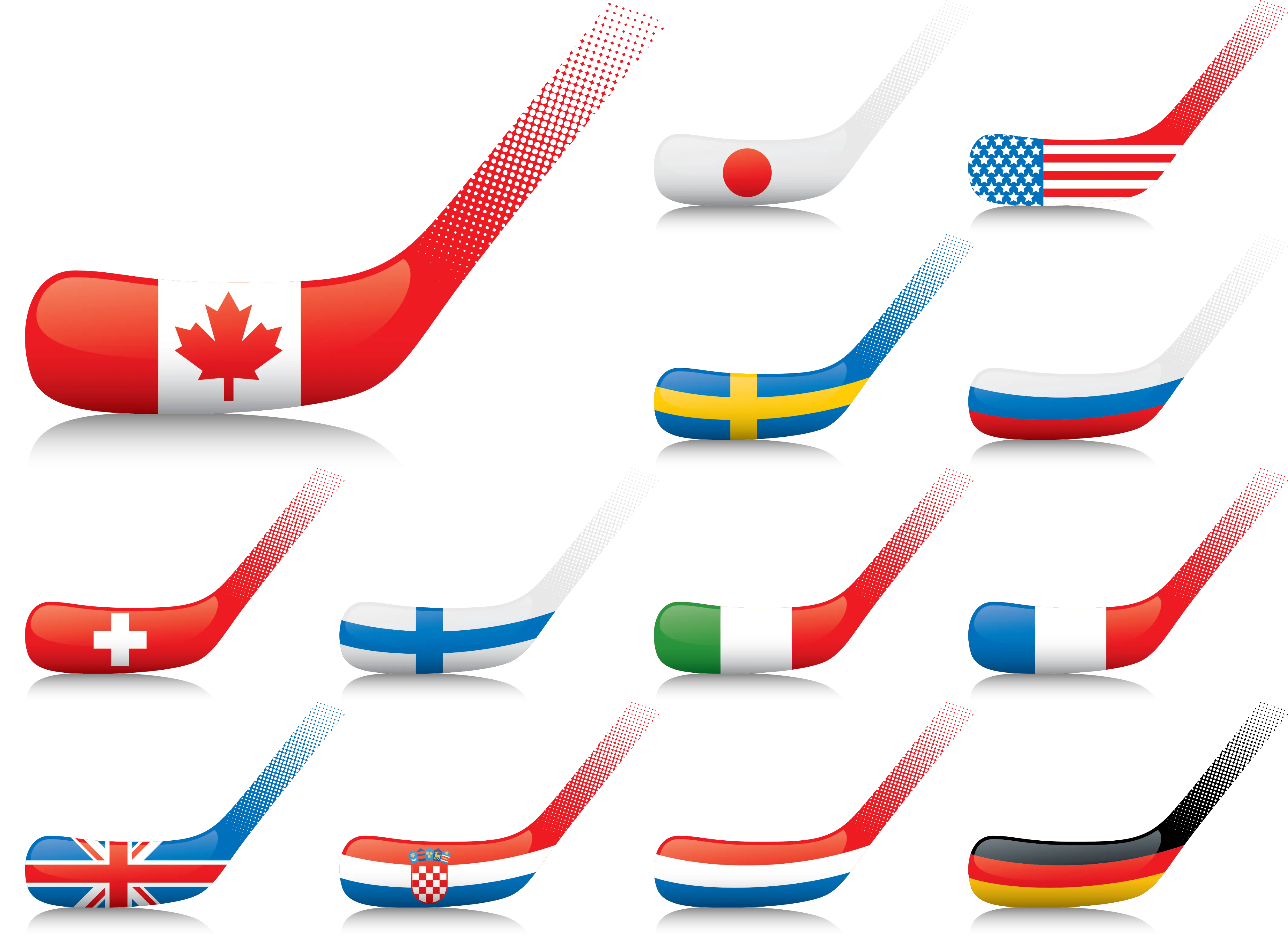
Hockey Sticks with Country Flags -
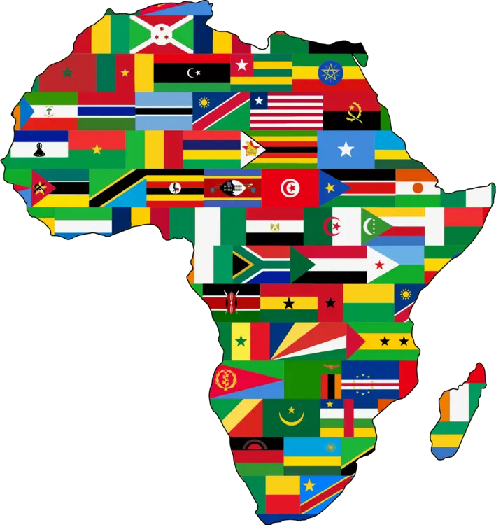
Africa Map with National Flags -
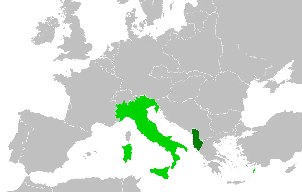
Map of Italy and Surrounding Regions -
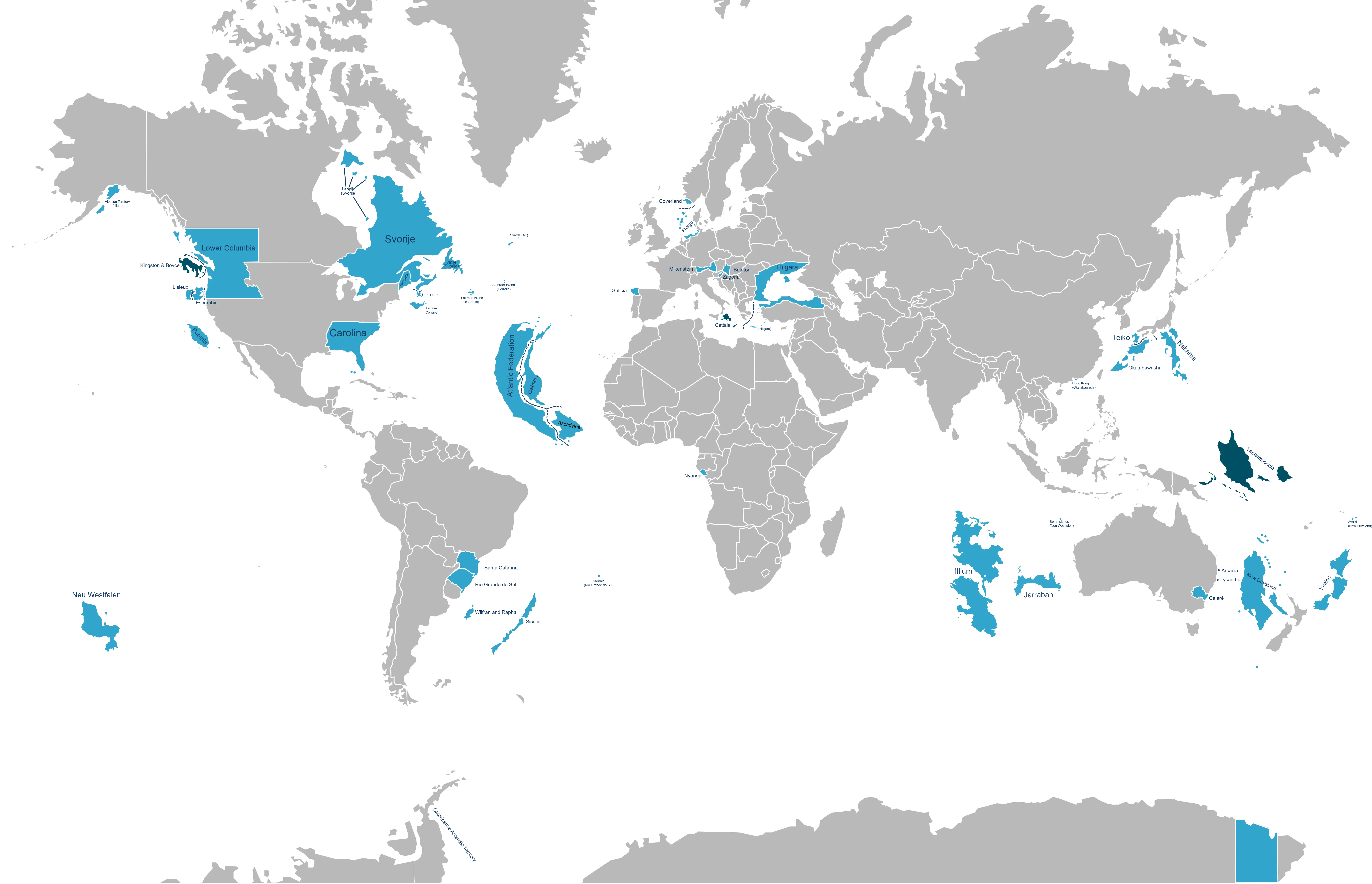
World Map with Highlighted Regions -
World Map Highlighting Various Countries -
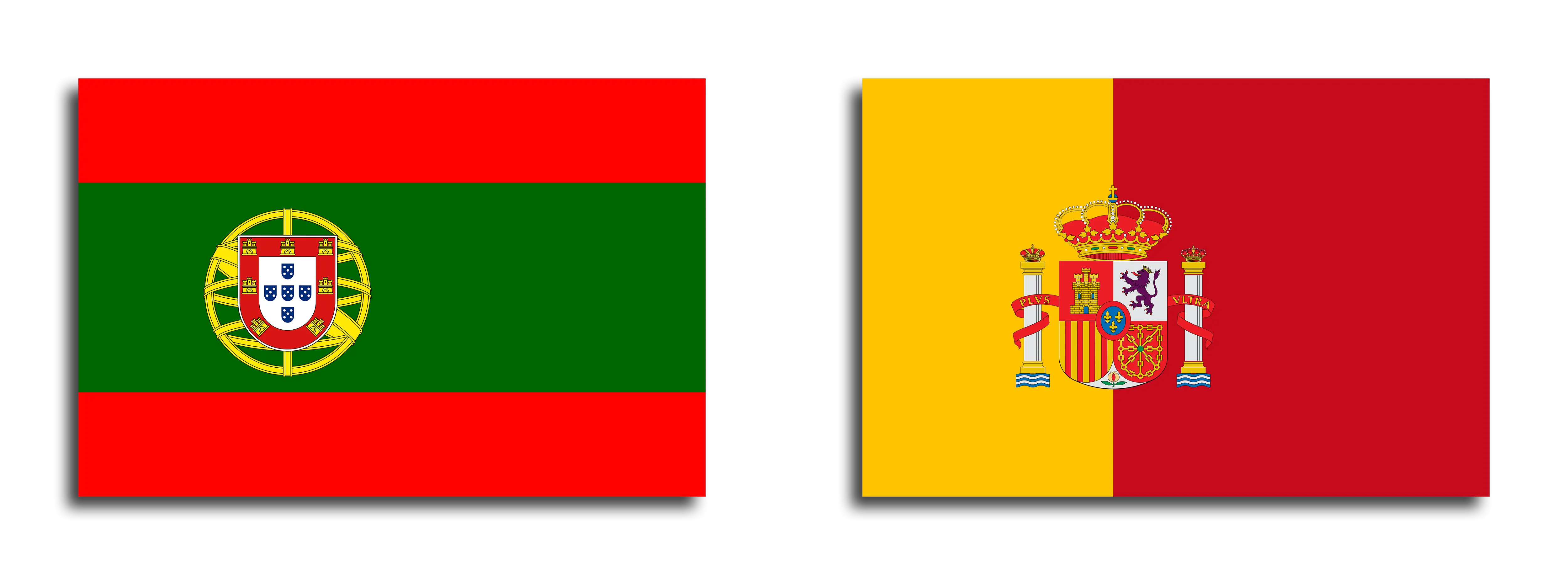
Flags of Portugal and Spain -
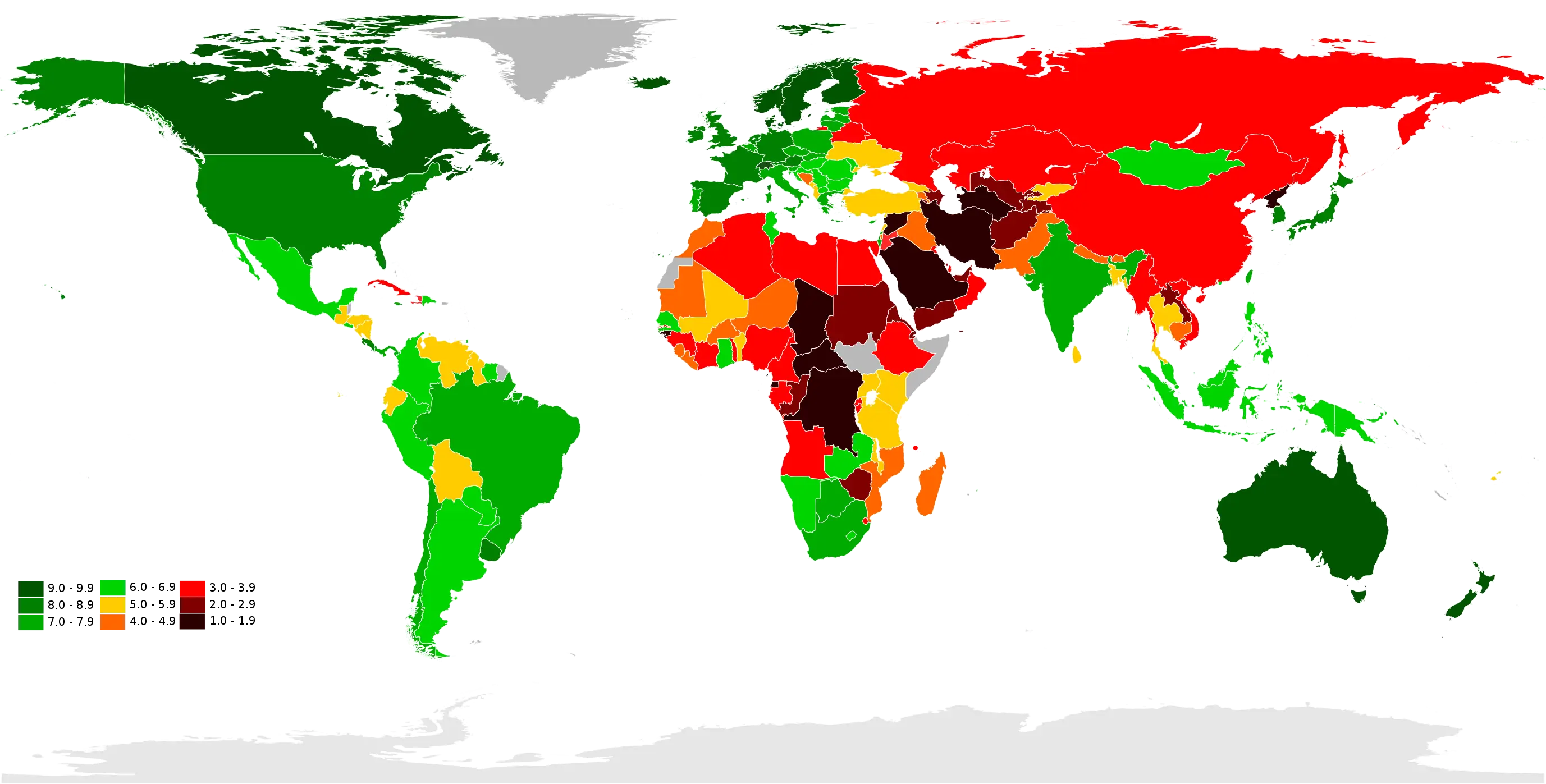
Color-Coded World Map -
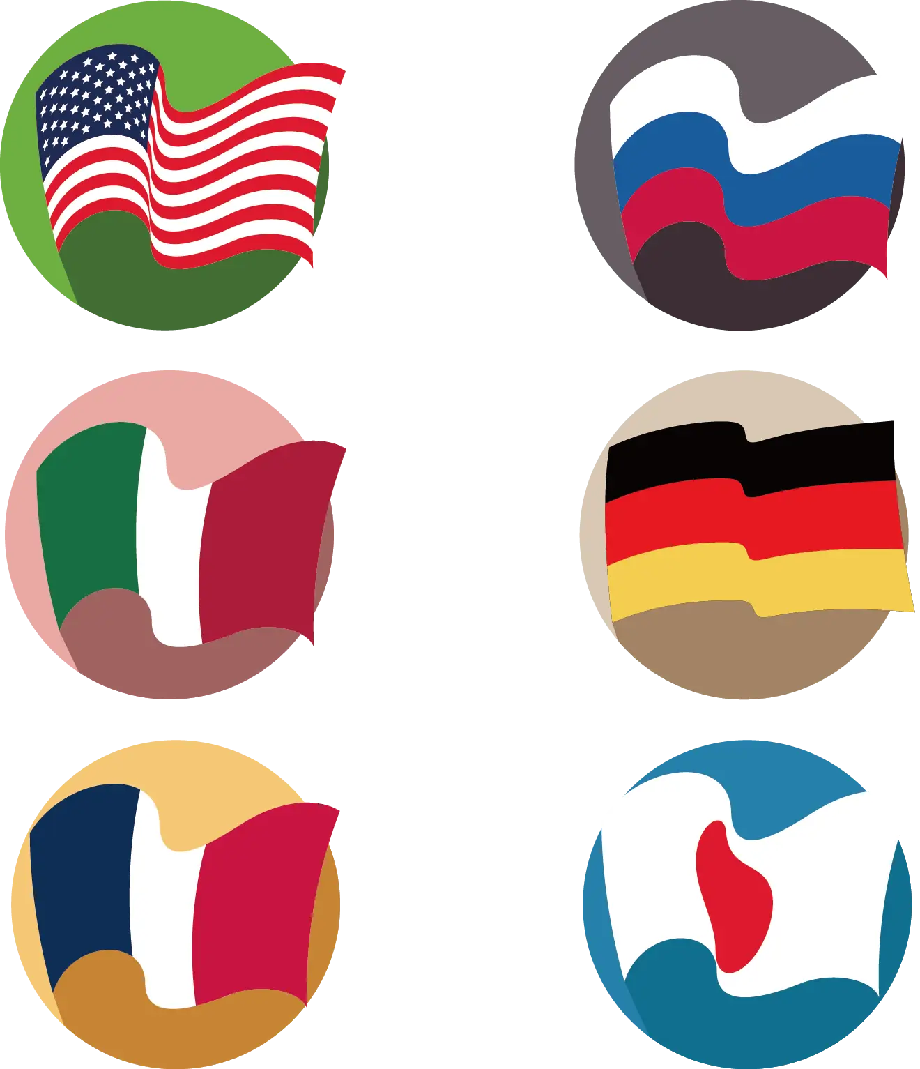
Flags of Different Countries -
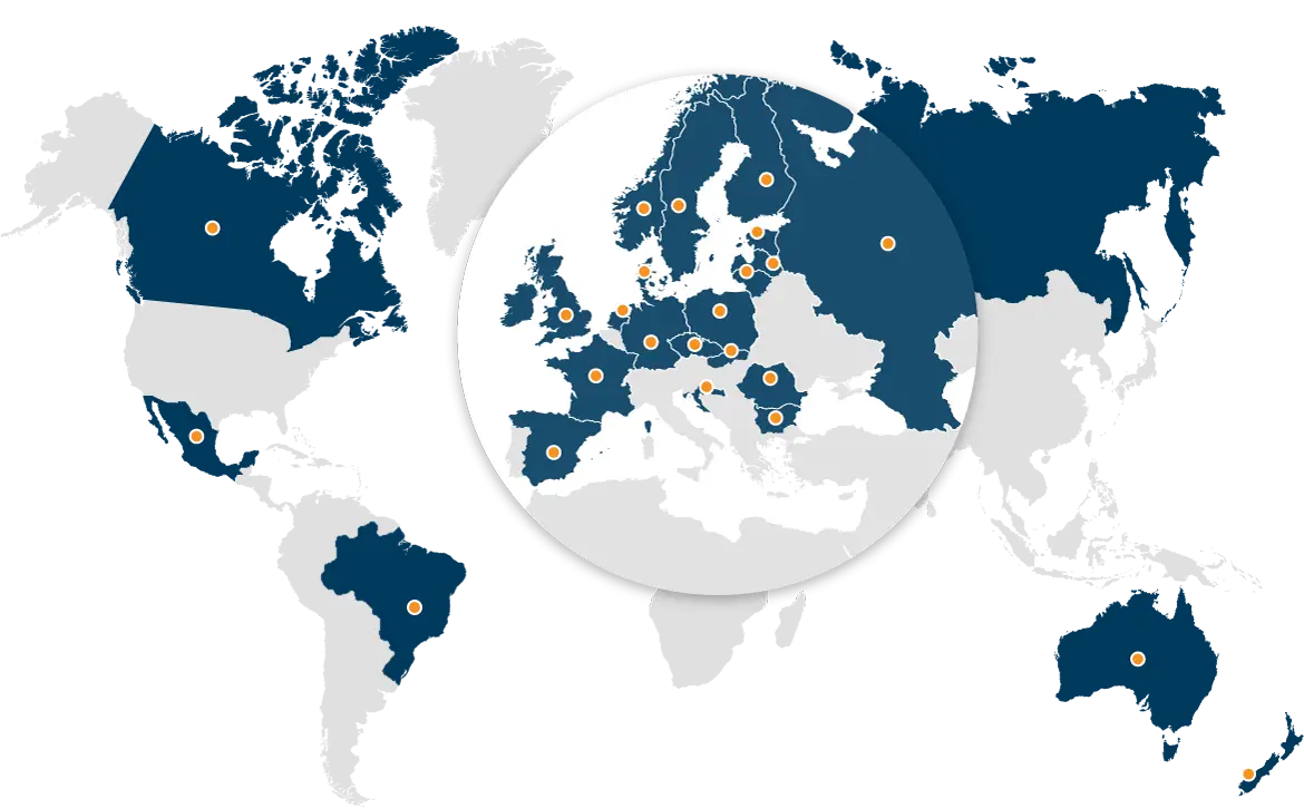
World Map for Global Geography -

World Map with Country Flag Illustration -
World Map Illustration -
World Map with Colored Regions -
Grey Political Map of Europe -
Colored World Map Illustration -
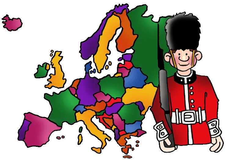
Colorful Europe Map with Guard -
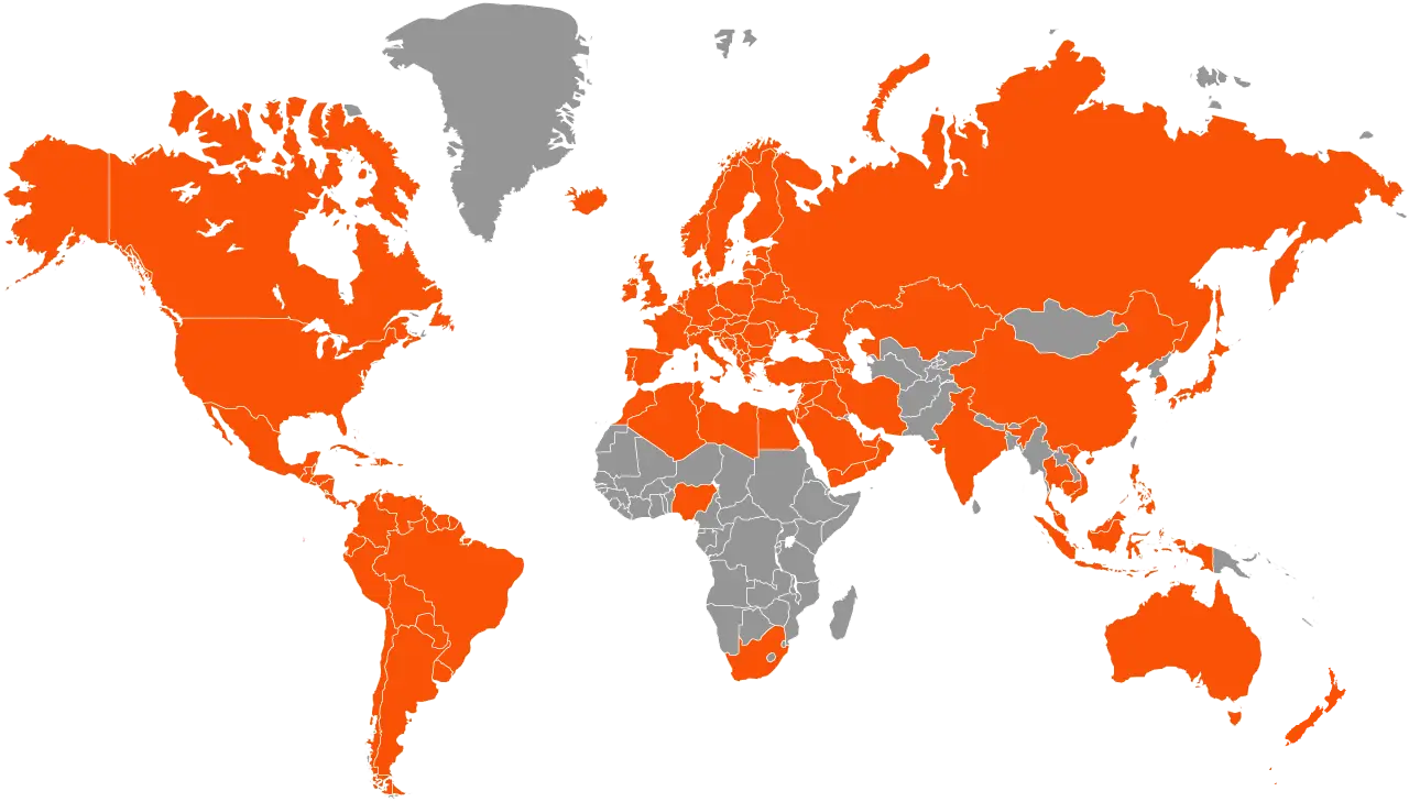
World Map in Orange and Gray Theme -
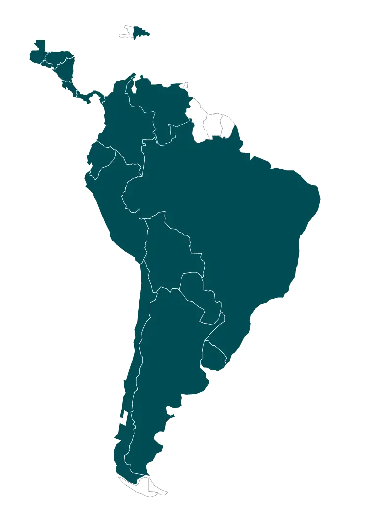
Map of South America Illustration -
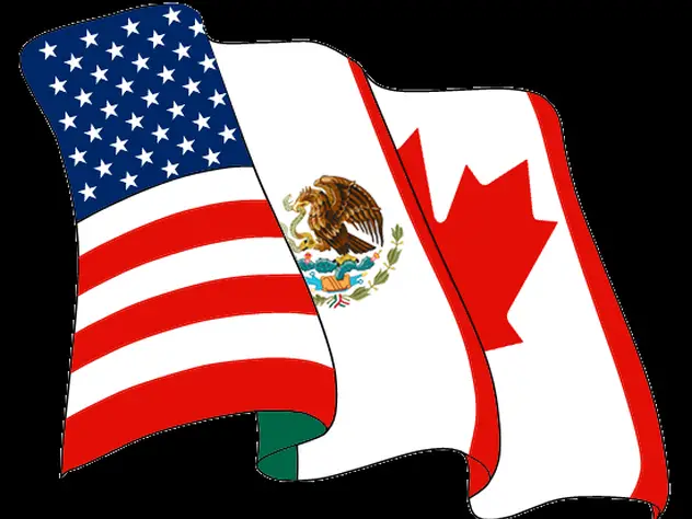
Flags of USA, Mexico, and Canada -
Map of Europe Illustration -

Outline Map of Europe with Country Borders -
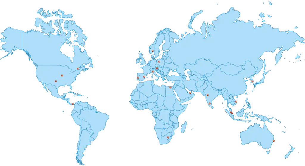
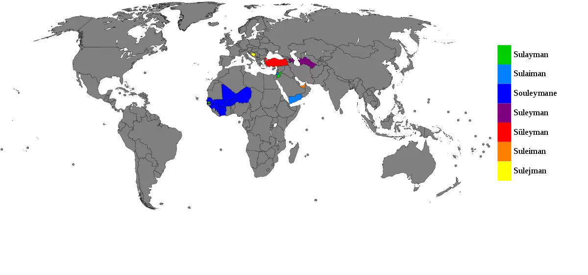
Global Distribution Map -
Color-Coded World Map Illustration -
World Map with Highlighted Regions in Gold