You Might Like
-

Colored Regional Map of Africa -

Colorful Stack of Books with Decorative Leaves -

Blue Globe Network Icon -

Stack of Colorful Books for Learning -

Blue Globe with Continents Illustration -

Blue Globe Model for Geography Learning -

Map of the Soviet Union with Highlighted Regions -

Sales and Marketing Funnel Diagram -

Book Illustration with Back to School Text -
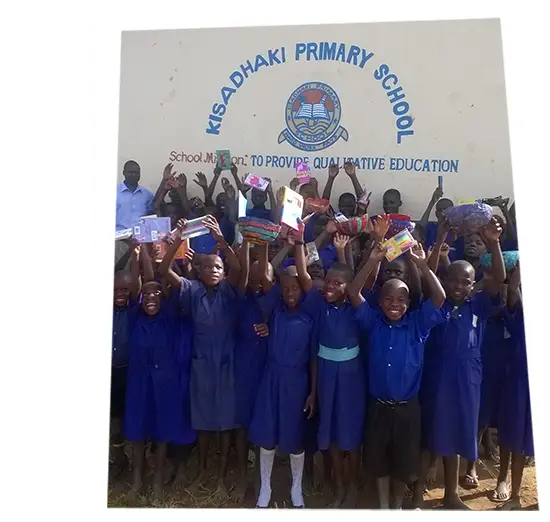
Group of Students at School -

Black Compass Rose for Navigation and Mapping -

Green Globe Icon Representing Sustainability -

Cartoon Teacher with Book Illustration -
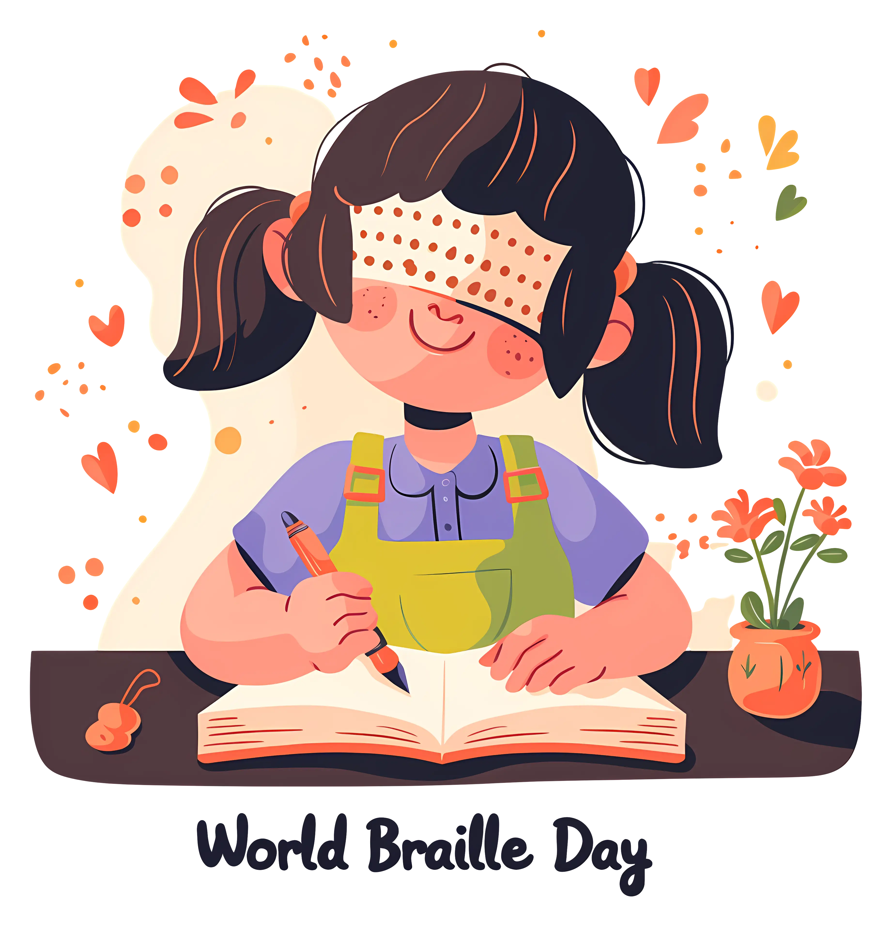
Girl Reading Braille for World Braille Day -

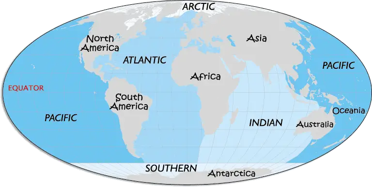
Complete Blue World Map -

Watercolor Illustration of Graduation Cap and Books -

Transportation Logistics with Global Shipment -

School Building with Clock on Facade -

Atlas Vertebra Anatomy -

Black Region Silhouette Map -

Graduation Cap on Stack of Books -

Graduation Cap Symbol for Education -

3D Globe Illustration of Earth Model -

Young Student with Glasses and Backpack -

Green Land Map Outline -

Child Reading Book Illustration -

Map Highlighting Specific Regions -

Back to School Sale Poster with Stationery Items -

Map of Turkey with Major Cities and Regions -

Concordia University Logo