You Might Like
-

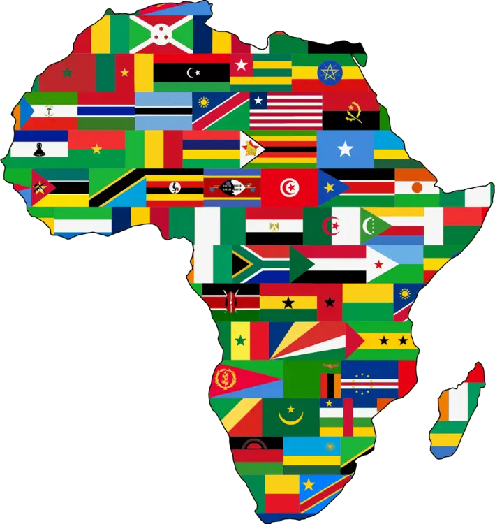
Colored Regional Map of Africa -

Colorful Party Decorations with Confetti and Banners -

Blue Globe with Continents Illustration -

Blue Globe Model for Geography Learning -

Map of the Soviet Union with Highlighted Regions -
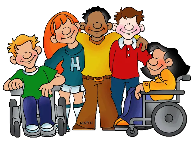
Cartoon Kids Showing Friendship and Inclusion -

Happy Children Holding Hands -

Happy Group of Friends Posing Together -

Black Compass Rose for Navigation and Mapping -

Complete Blue World Map -
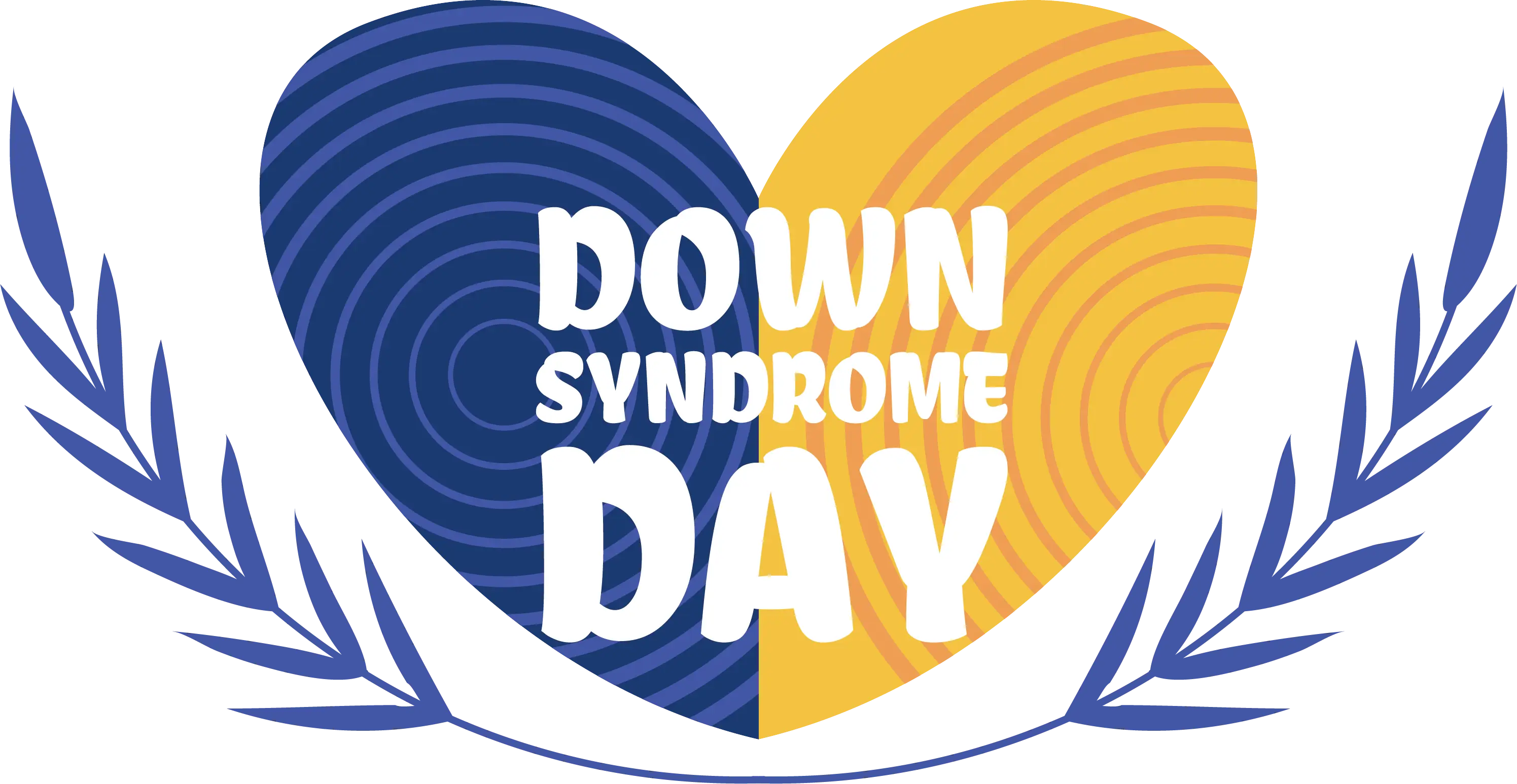
Blue and Yellow Heart for Down Syndrome Day -
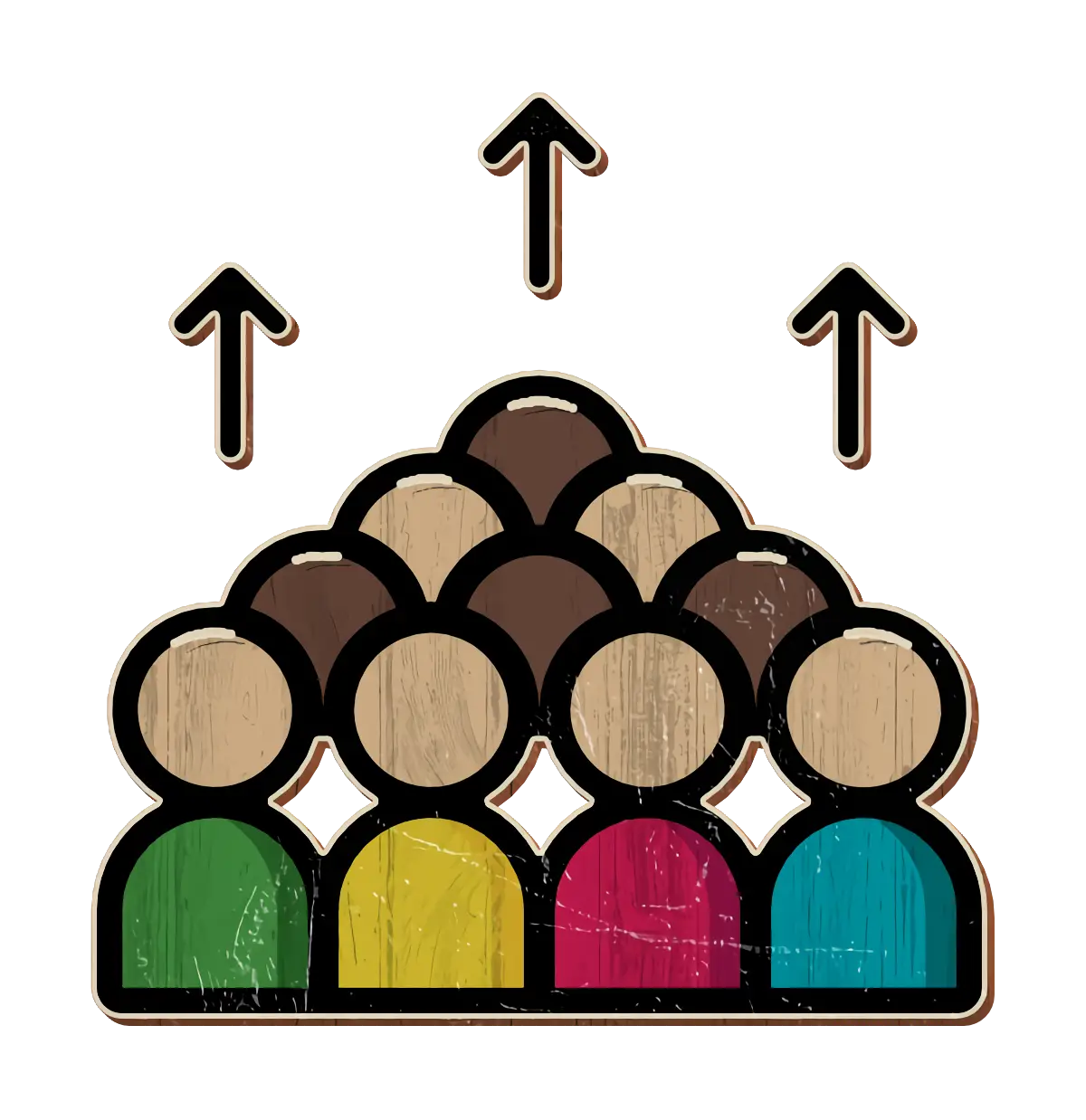
Group of People with Upward Arrows -
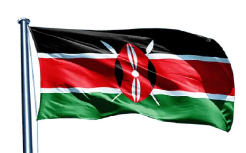
Kenya National Flag -

Black Region Silhouette Map -

Inclusive Transgender Gender Symbol -

Group of Professional Businesspeople in Formal Attire -

3D Globe Illustration of Earth Model -

Green Land Map Outline -

National Minority Supplier Development Council Logo -

Map Highlighting Specific Regions -

Map of Turkey with Major Cities and Regions -

Soccer Player in Green Uniform Running -
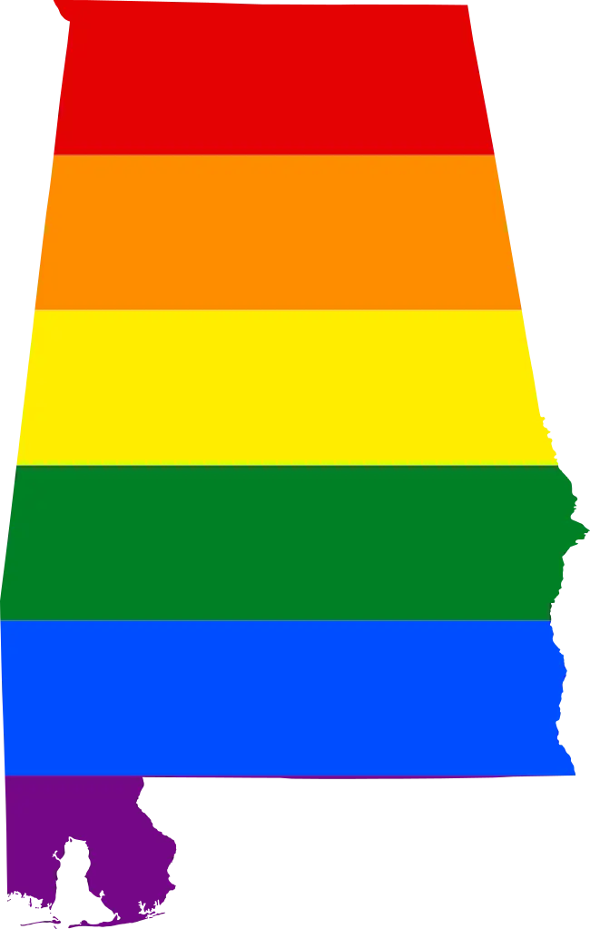
Alabama Pride Flag in Rainbow Colors -

Soviet Emblem with Red and Yellow Design -

Transparent World Map Design -
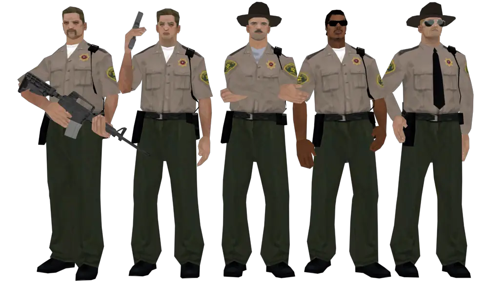
Group of Police Officers -

Campground Map for Outdoor Adventures -

Simple Navigation Map -

Decorative Pumpkin Illustration with Flags -

Map Outline of Slovenia