You Might Like
-

Colored Regional Map of Africa -

Blue Globe with Continents Illustration -

Blue Globe Model for Geography Learning -

Map of the Soviet Union with Highlighted Regions -

Black Compass Rose for Navigation and Mapping -

Complete Blue World Map -

Red and White Striped Hot Air Balloon -

Black Region Silhouette Map -

American Flag Icon -

Wavy American Flag Illustration -

3D Globe Illustration of Earth Model -

Green Land Map Outline -

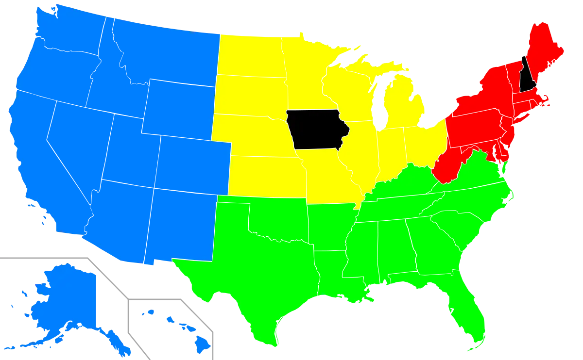
Map Highlighting Specific Regions -

Map of Turkey with Major Cities and Regions -

Illustration of the USA Flag -

Soviet Emblem with Red and Yellow Design -

Transparent World Map Design -

Campground Map for Outdoor Adventures -

National Salute America's Heroes Logo -

Simple Navigation Map -

Eagle Illustration with American Flag Theme -

Map Outline of Slovenia -

Map of Russia with Red, White, and Blue Flag Colors -

Red Globe Pin Illustration -

United States National Flag with Stars and Stripes -

Crossed USA and UK Flags for National Symbols -

Map of Vietnam -

Gray Map Silhouette on Transparent Background -

Patriotic Ribbon Bow for Celebrations -

Colorful World Map Globe Representation