You Might Like
-
Soccer Player in England Jersey -

We Are England Cricket Logo -
Celtic Football Club Logo with Green Clover Design -
Royal Coat of Arms -
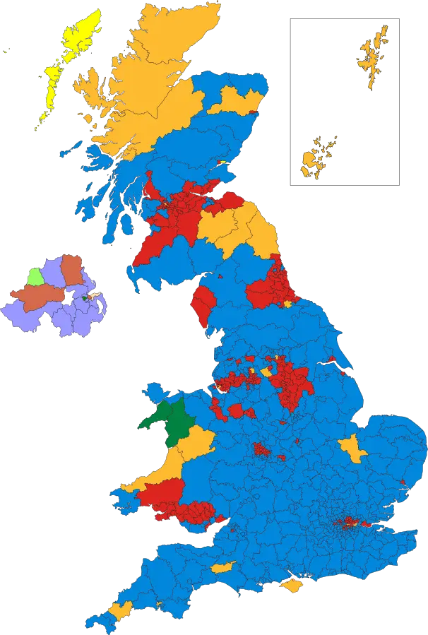
Colorful Political Map of the UK -
Premier League Lion Logo -
London Bridge Icon -
City of London Emblem -
Union Jack Flag -

Union Jack British Flag -

Poppy Scotland Supporting Our Heroes Logo -
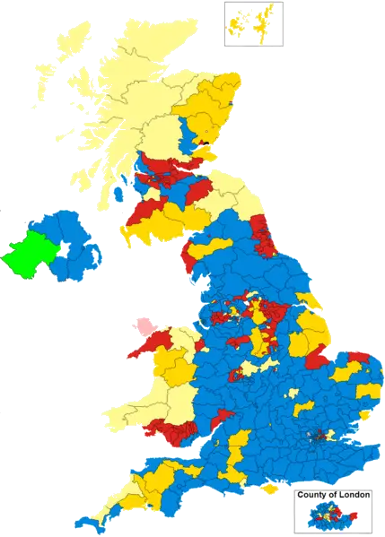
Political Map of the UK with Color-coded Regions -

Soccer Player in White Uniform in Action -
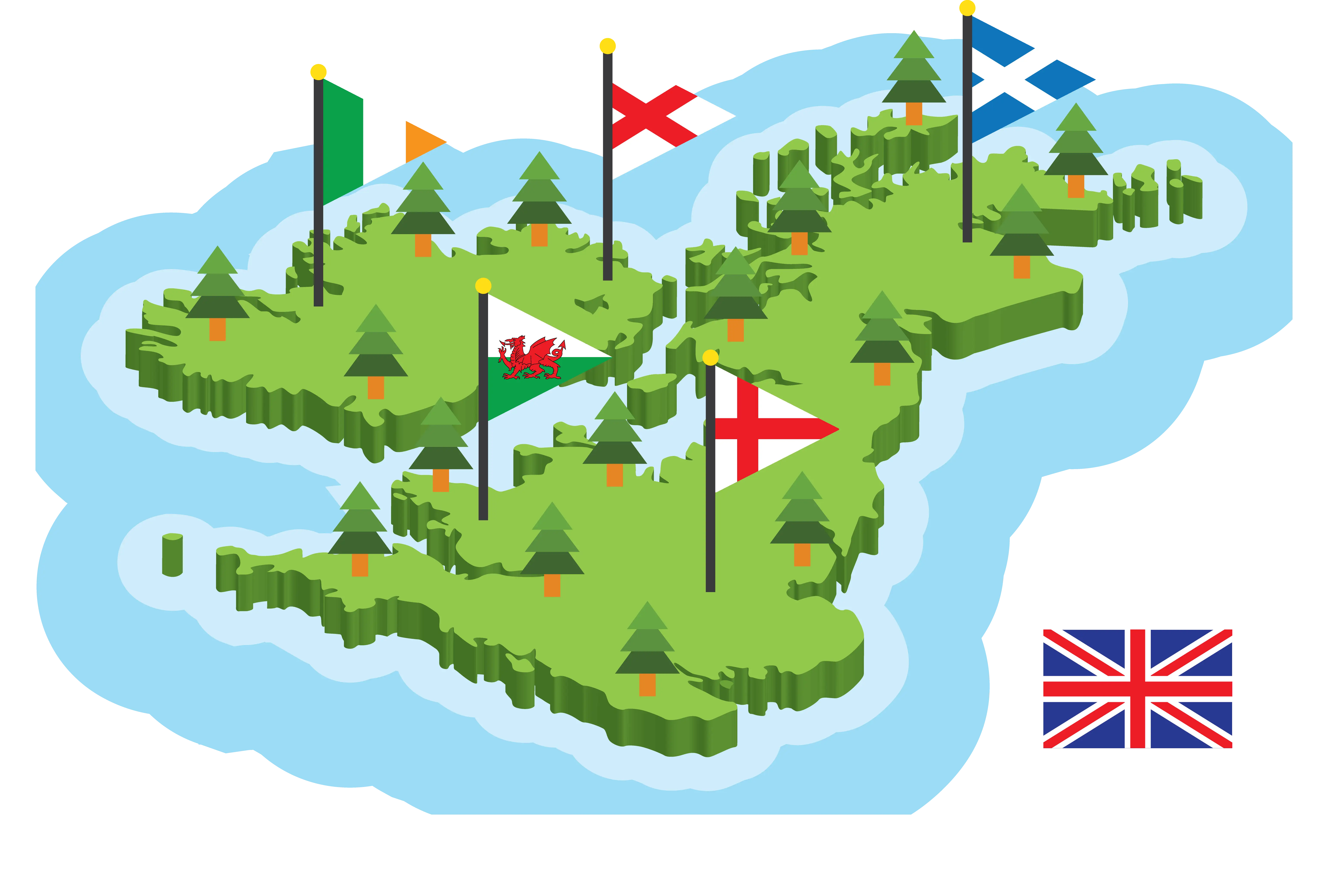
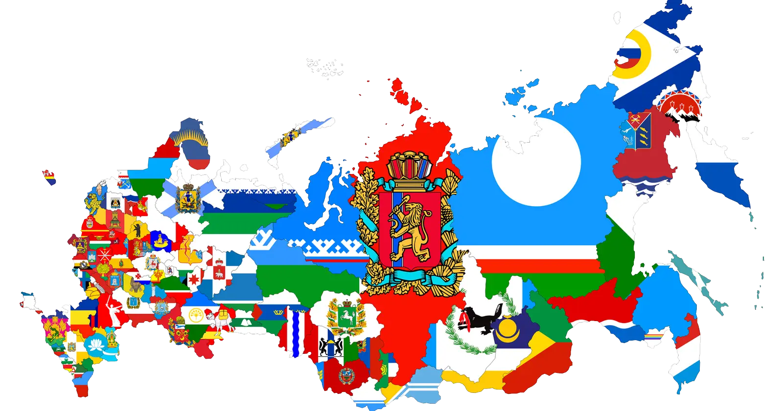
Map with Flags -
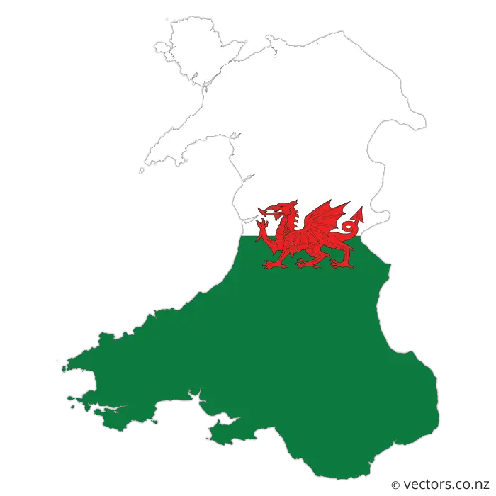
Wales Map with Flag -
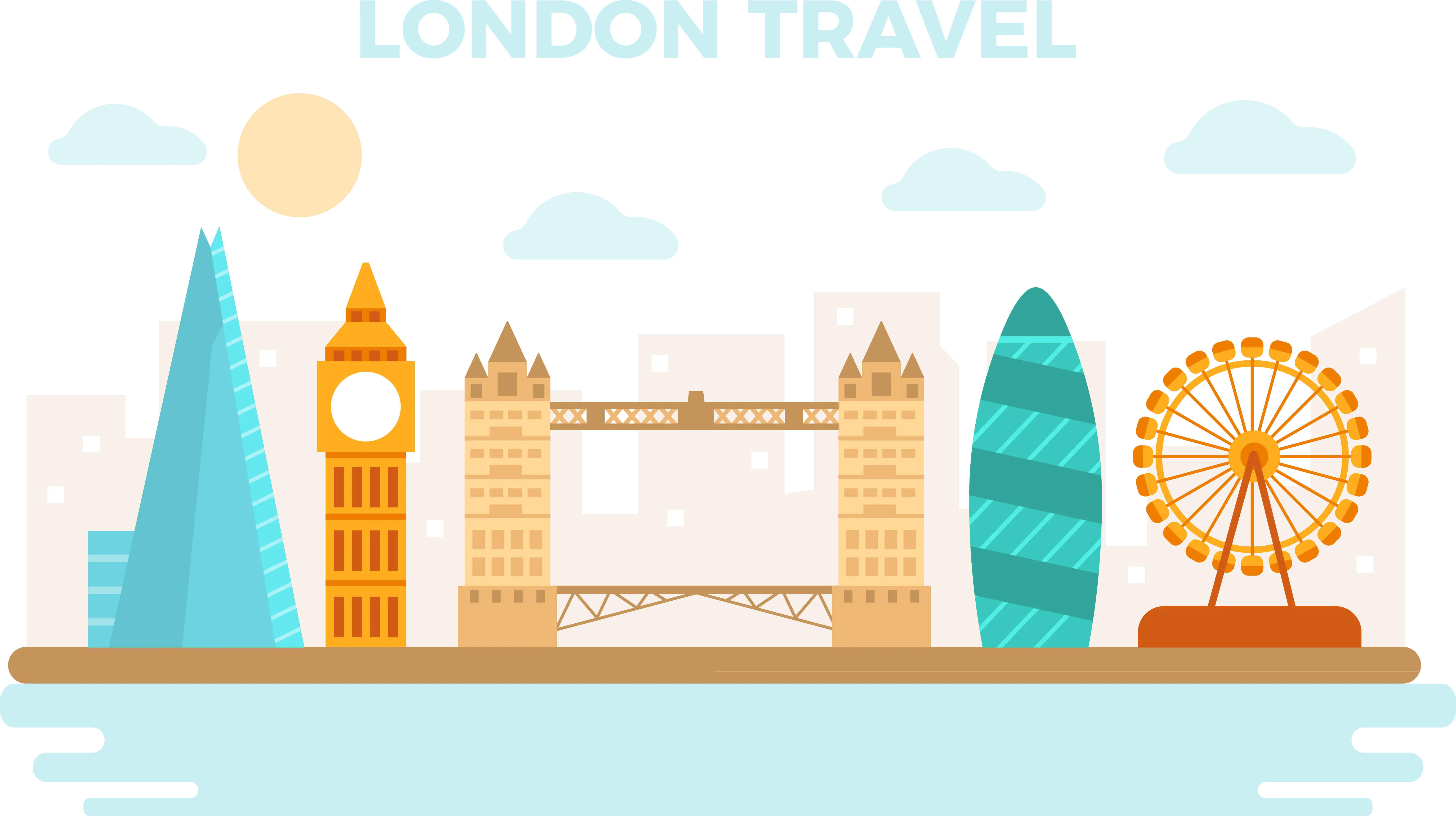
Iconic London Landmarks Illustration -
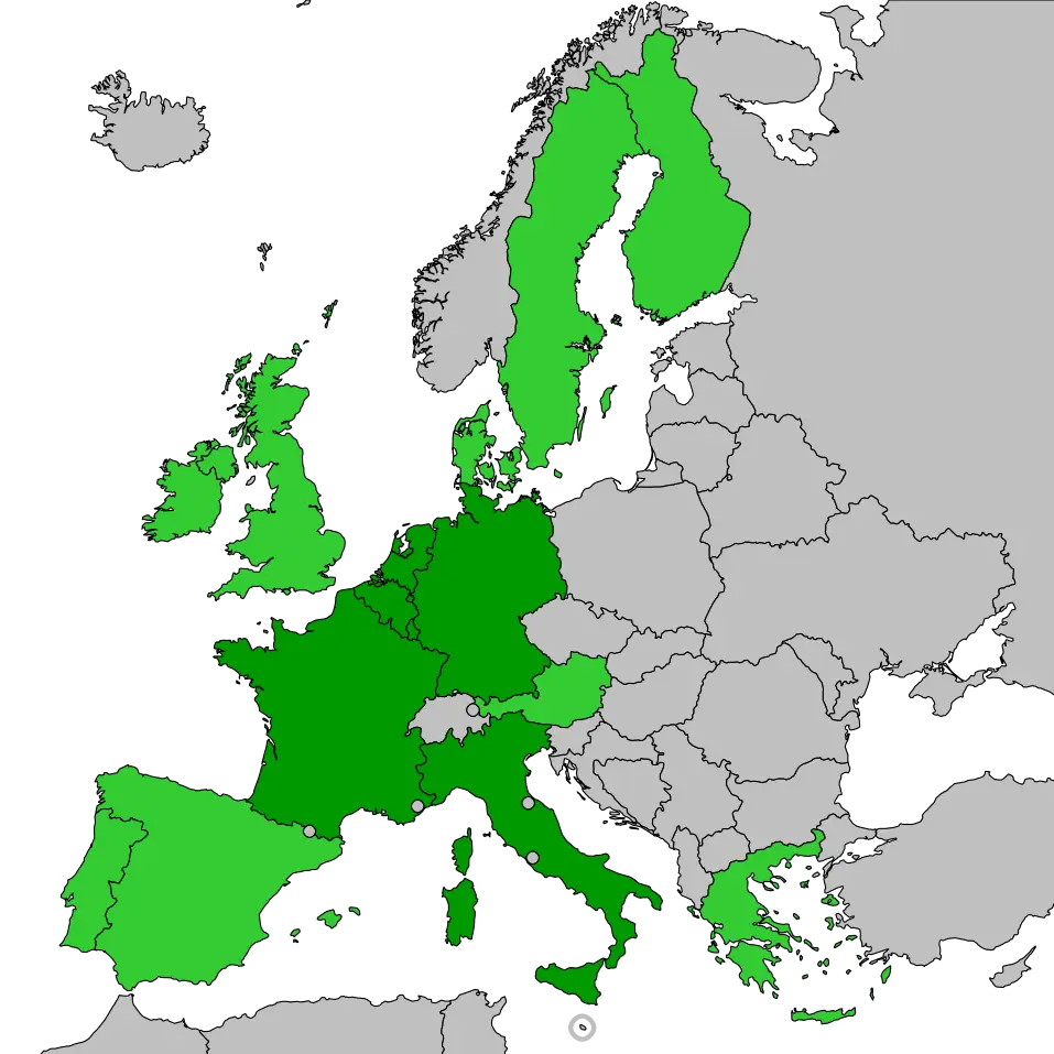
Map of Europe with Highlighted Areas -
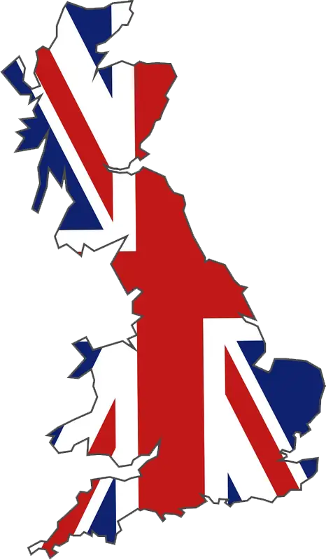
United Kingdom Map with British Flag Design -
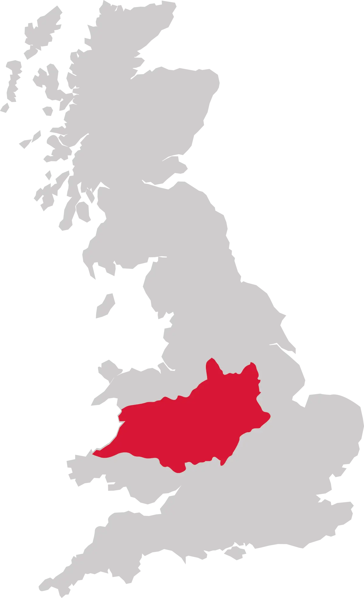
UK Map Highlighting the Midwest Region of England -
England flag with St. George's Cross design -
California Political Map Illustration -

Chelsea Football Club Logo -
Map with Country Flags Overlay -
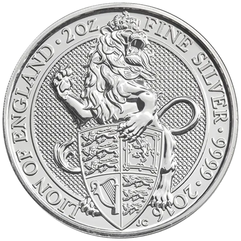
Silver Lion Engraved Collector's Coin -
Reading Football Club Logo -
Red London Icons Illustration -
Union Jack Flag of the United Kingdom -
Welsh Red Dragon Flag -
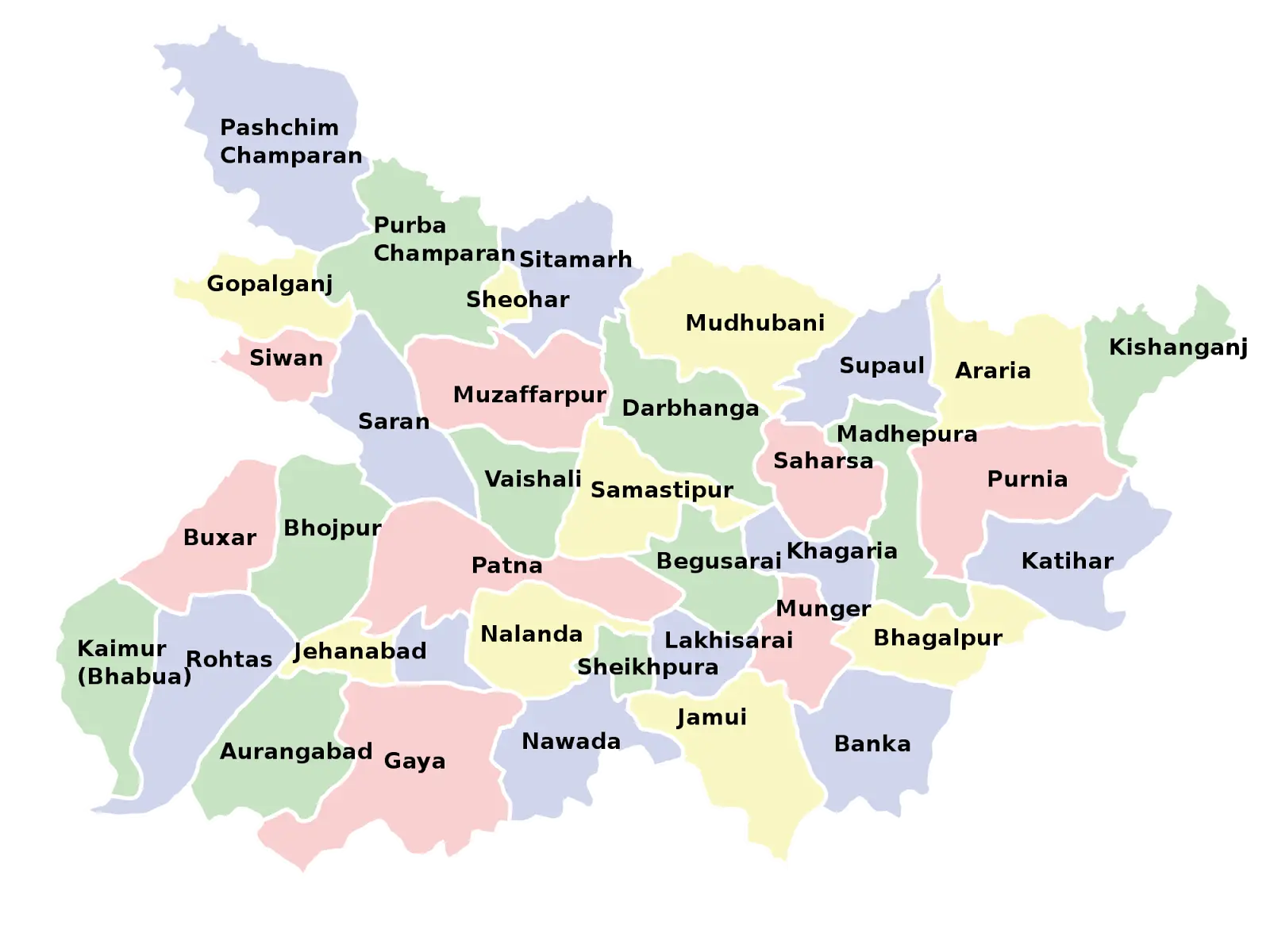
Map of Bihar with District Divisions -
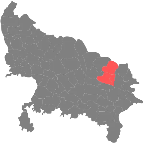
Highlighted Regions on State Map