You Might Like
-
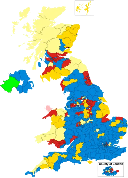
Colorful Political Map of the UK -
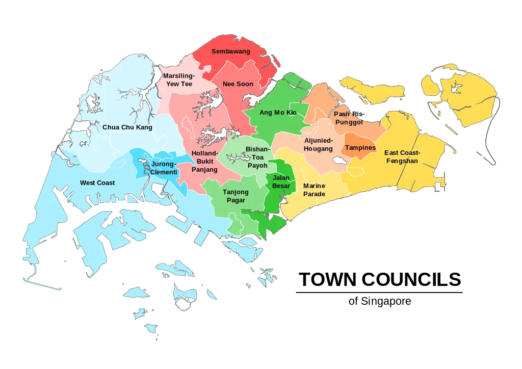
Town Councils of Singapore Map -

Round Union Jack Flag Design -
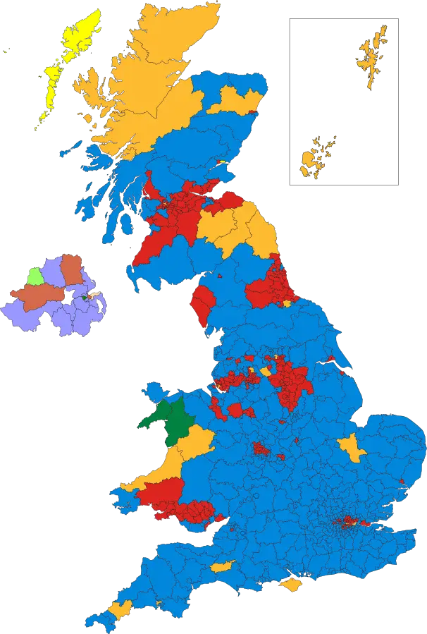
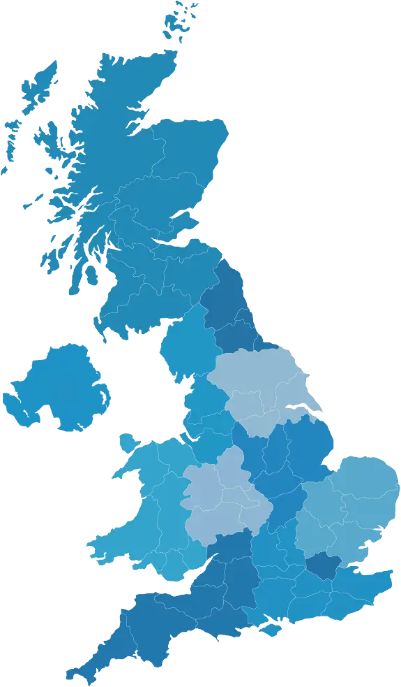
Colored Territorial Map of the UK -
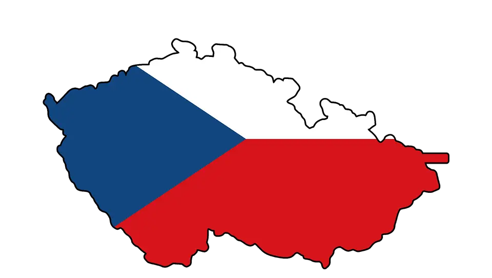
Czech Republic Flag Inside Country Map -
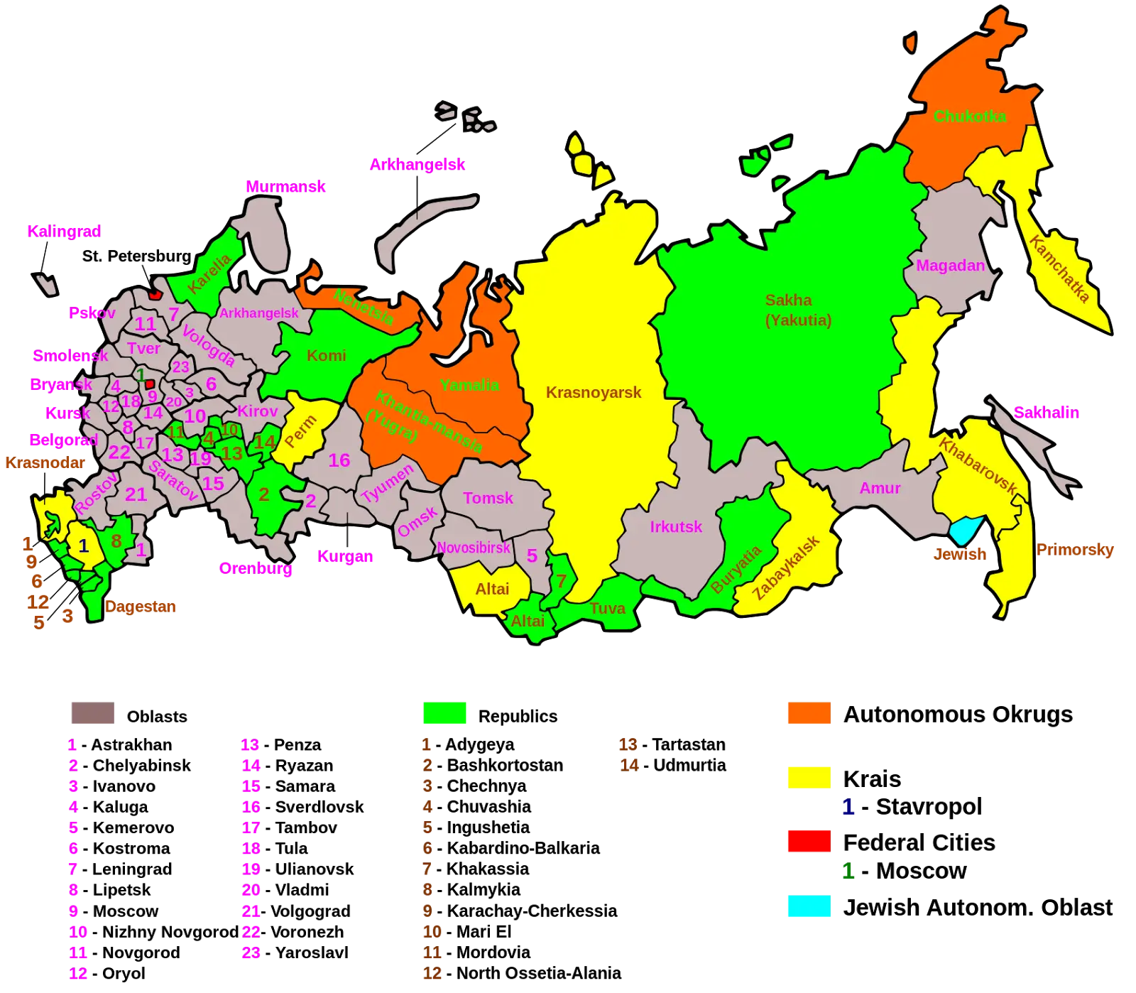
Map of Russian Regions with Colorful Divisions -
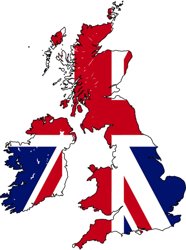
Map of the United Kingdom with Flag Design -
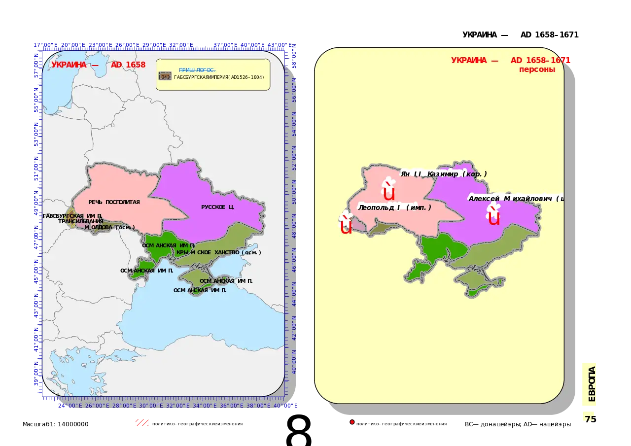
Detailed Ukraine Map Illustration -
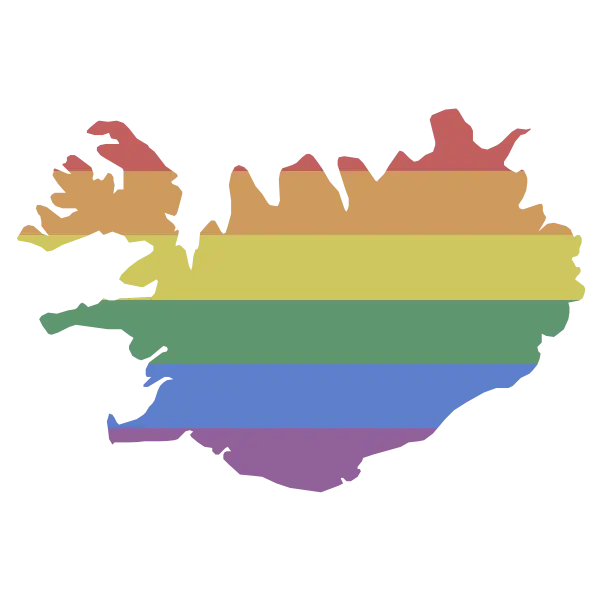
Rainbow Map of Iceland Celebrating Pride -
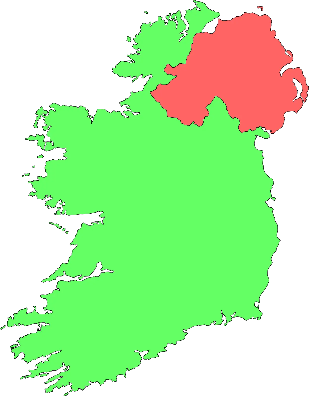
Color-Coded Map of Ireland -
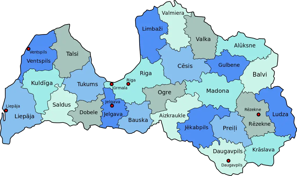
Map of Latvia -
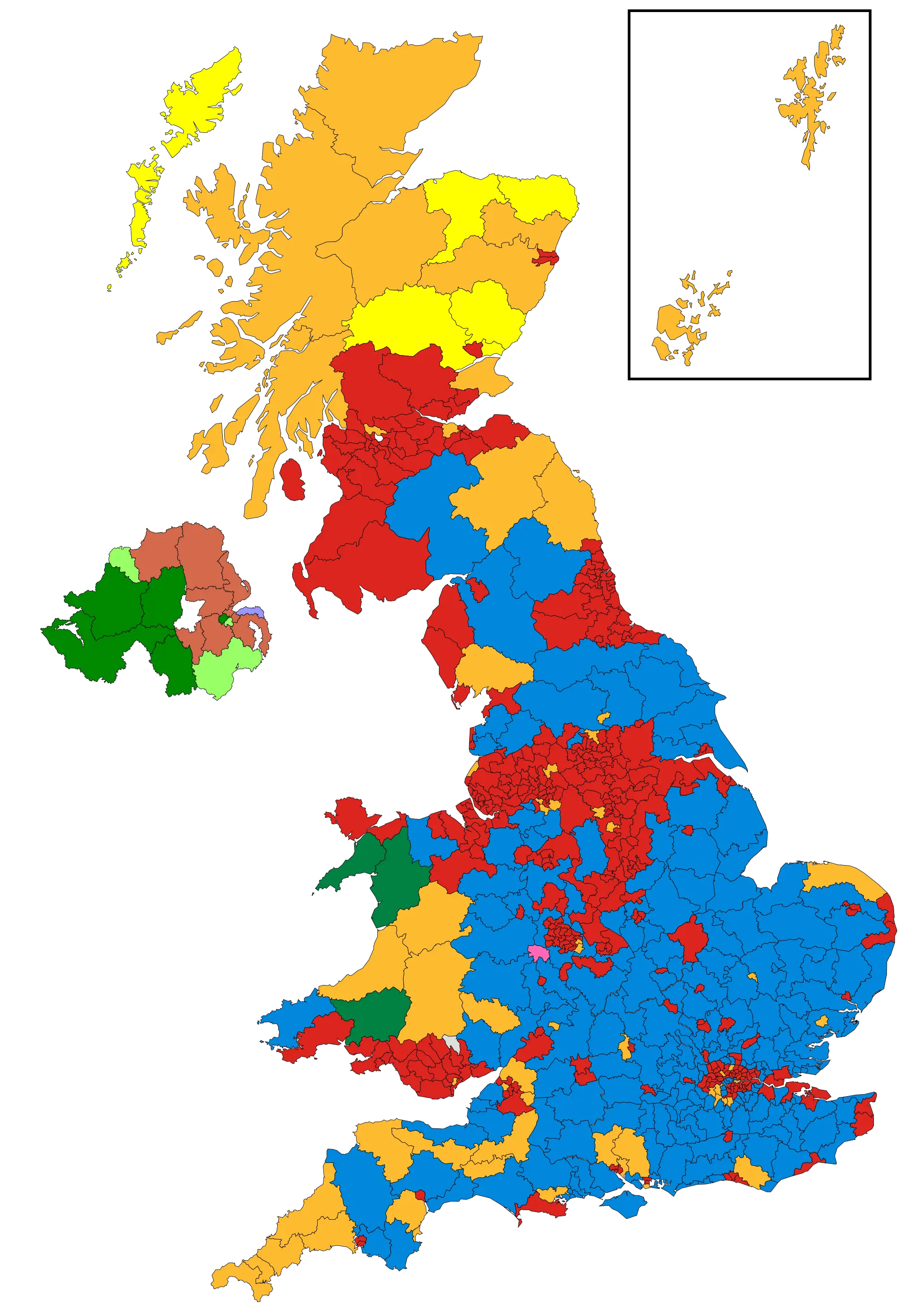
Colorful Map of the United Kingdom -
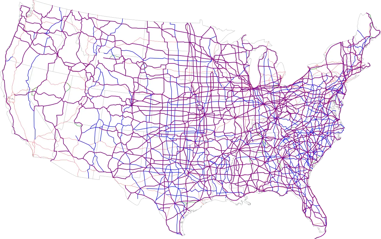
Highway Map of United States -
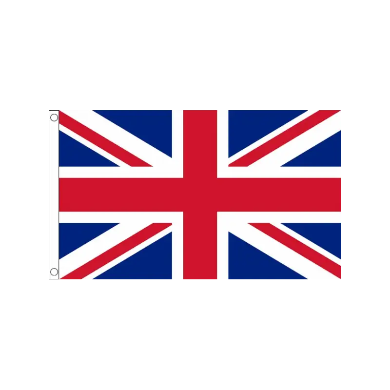
United Kingdom Flag -
United Kingdom National Flag Illustration -
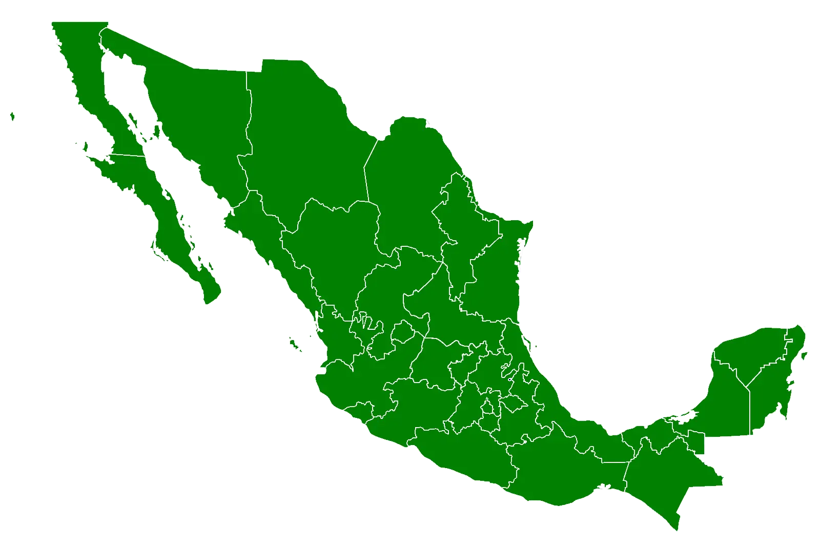
Green Map of Mexico -

Paralympic Athlete Celebrating -
United Kingdom National Flag -
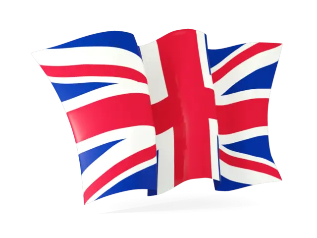
United Kingdom Flag with Union Jack Design