You Might Like
-

Colored Regional Map of Africa -

Colorful Party Decorations with Confetti and Banners -

Blue Globe with Continents Illustration -

Blue Globe Model for Geography Learning -

Map of the Soviet Union with Highlighted Regions -

Black Compass Rose for Navigation and Mapping -

Complete Blue World Map -

Black Region Silhouette Map -

3D Globe Illustration of Earth Model -

Green Land Map Outline -

Map Highlighting Specific Regions -

Map of Turkey with Major Cities and Regions -

Soviet Emblem with Red and Yellow Design -

Transparent World Map Design -

Campground Map for Outdoor Adventures -

Simple Navigation Map -

Decorative Pumpkin Illustration with Flags -
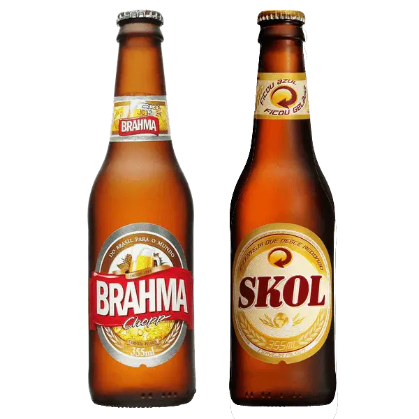
Brahma and Skol Beer Bottles -

Map Outline of Slovenia -

Map of Russia with Red, White, and Blue Flag Colors -

Red Globe Pin Illustration -

Crossed USA and UK Flags for National Symbols -

Map of Vietnam -

Gray Map Silhouette on Transparent Background -

Colorful World Map Globe Representation -

Video Game Dungeon Map Layout -
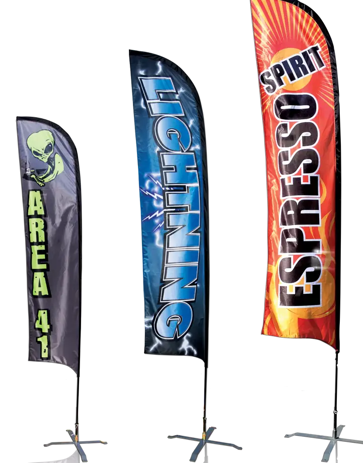
Colorful Advertising Flags -

Blue Map of Germany with Regions -

E.C. Juventude Logo -
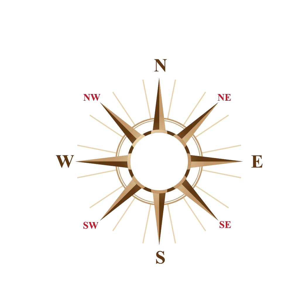
Classic Compass Rose Navigation Symbol