Free Geography Cliparts and Illustrations - Page 9
Free 468 geography cliparts & illustrations for your personalized works, such as black silhouette map of a region, outline map of oman, outline map of portugal, outline map of iran and many more.
-
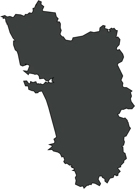
Black Silhouette Map of a Region -
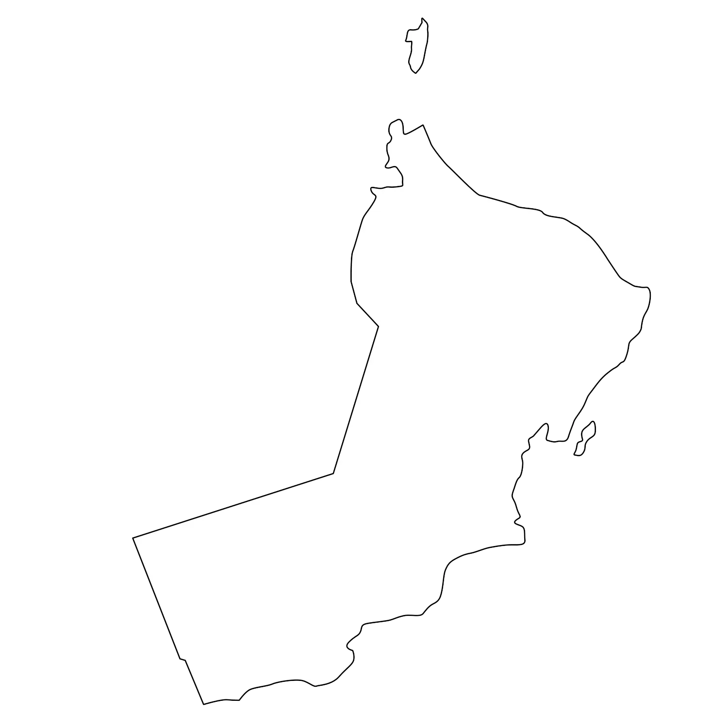
Outline Map of Oman -
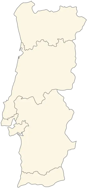
Outline Map of Portugal -

Outline Map of Iran -
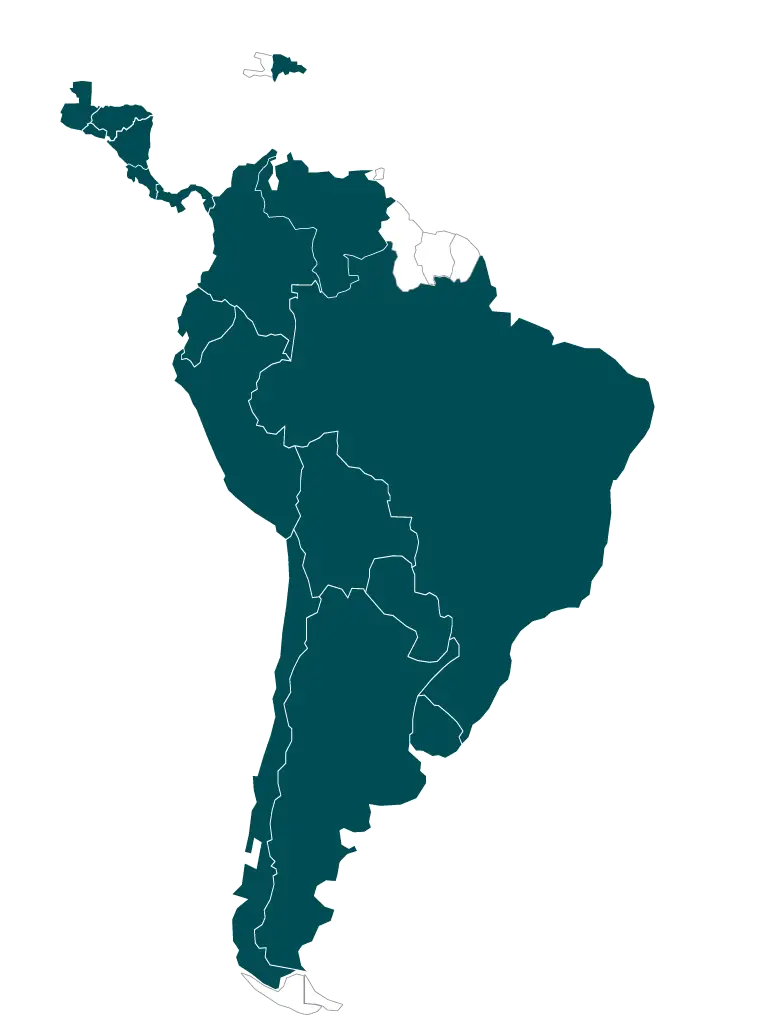
Map of South America Illustration -
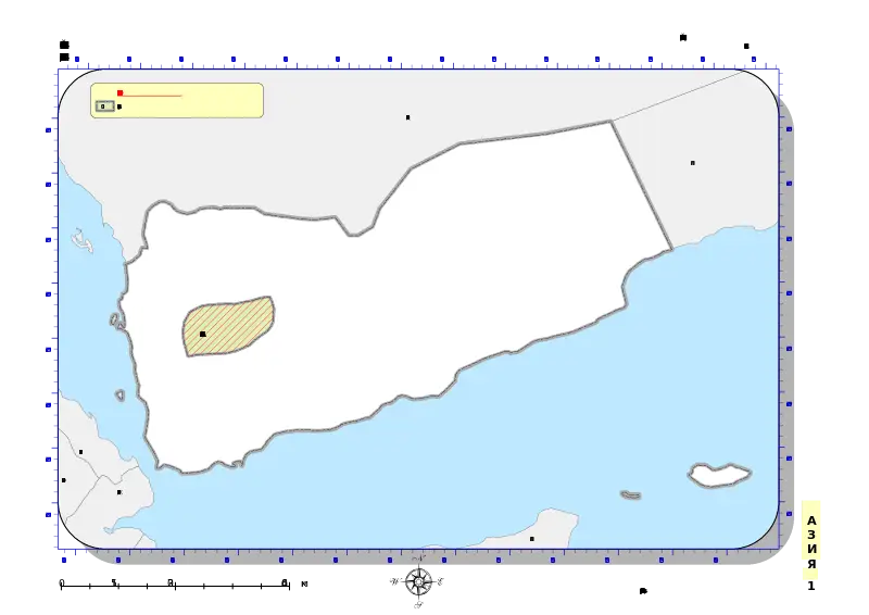
Map of Yemen with Border and Ocean Features -
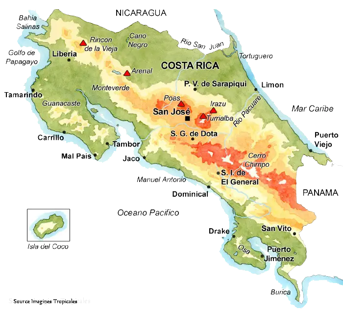
Map of Costa Rica -
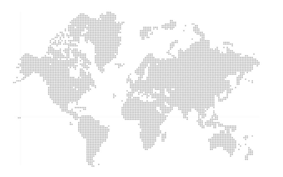
Grayscale Dotted World Map Illustration -
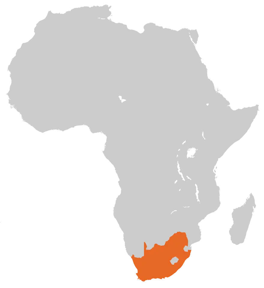
Map of Africa Highlighting South Africa -
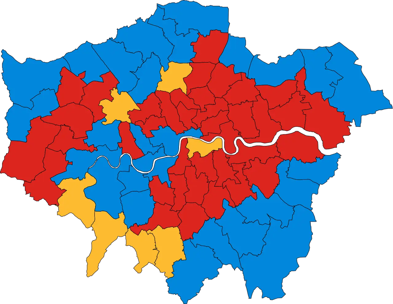
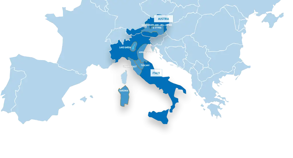
Color-Coded Map Featuring Regional Divisions -
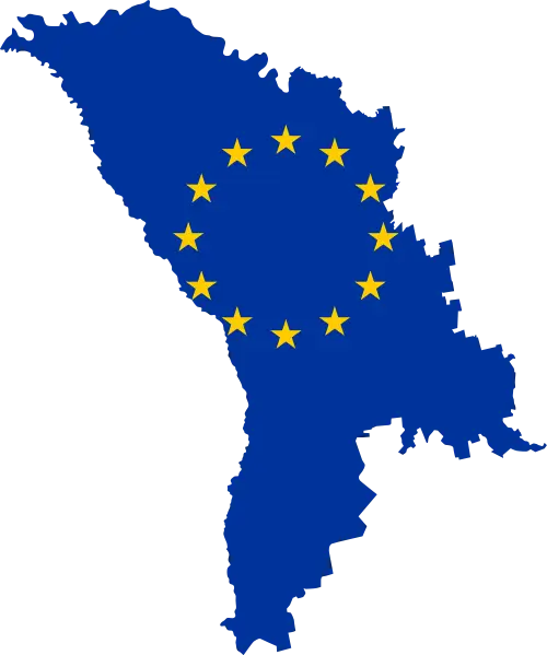
Map of Moldova with European Union Stars -

Black Silhouette Map of Switzerland -
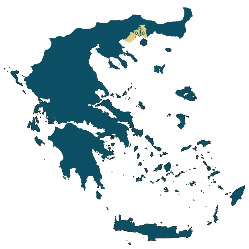
Detailed Map of Greece -
Multicolored World Map with Regional Segments -
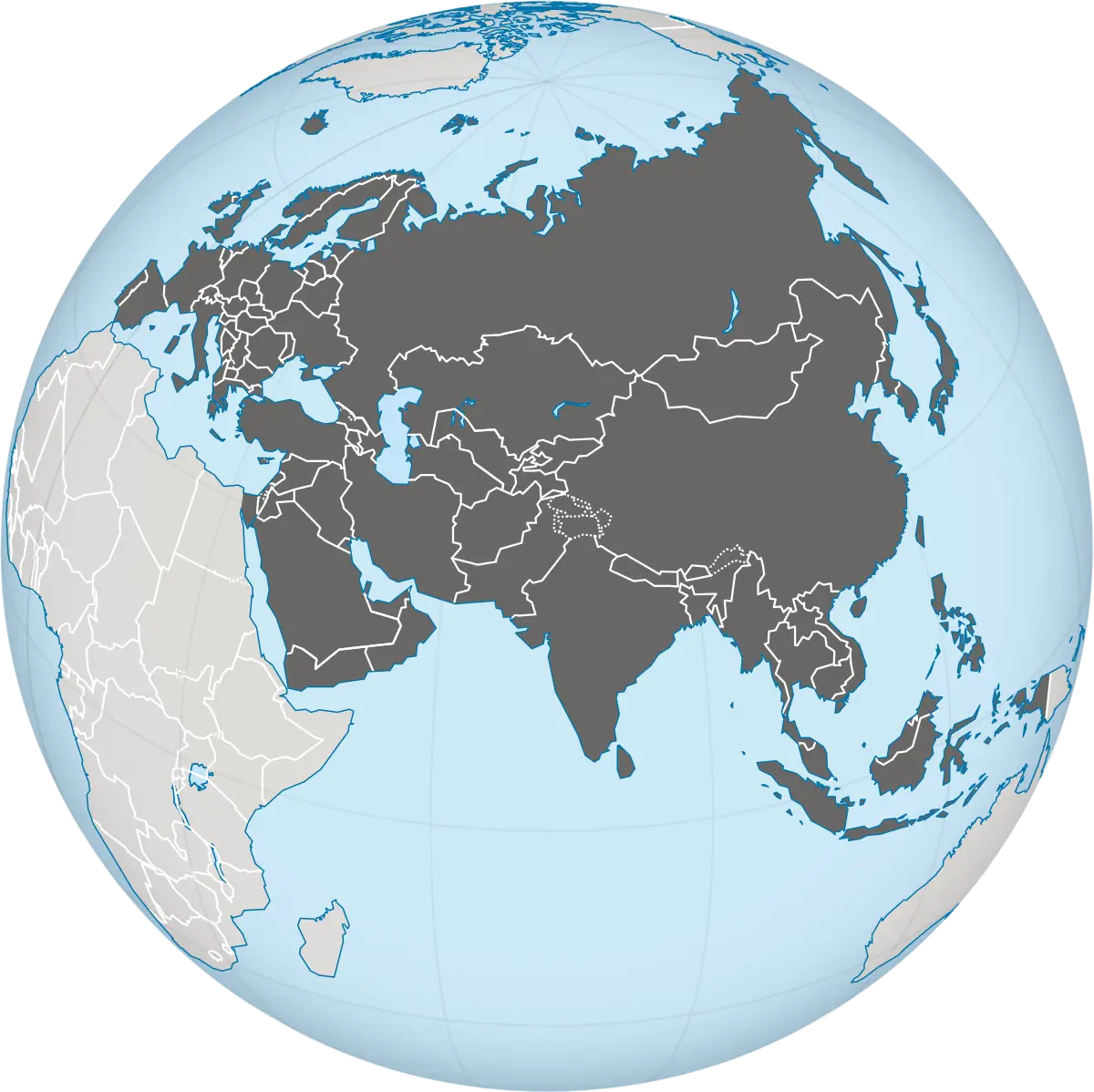
Asia-Centered Globe Representation -

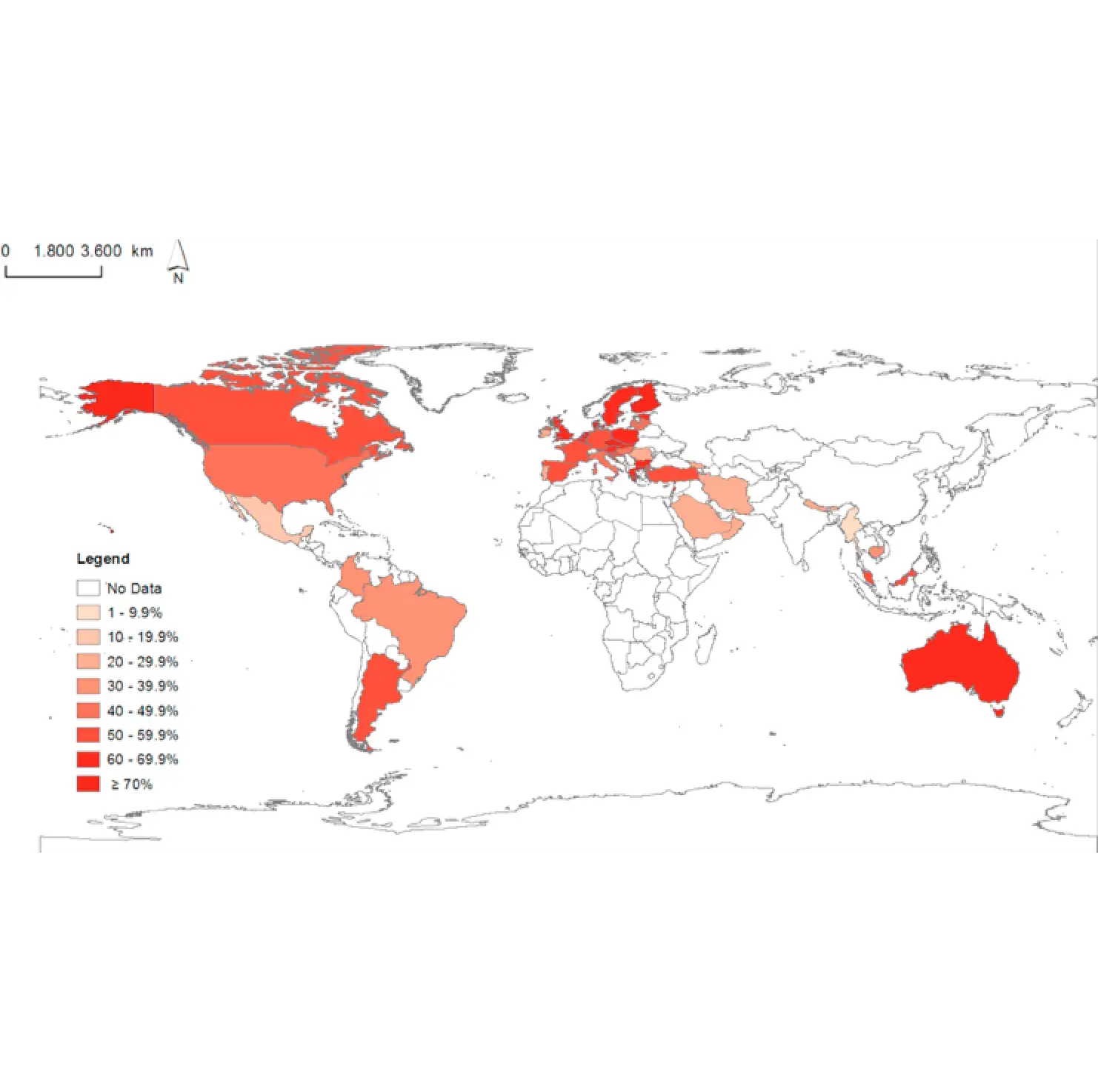
World Map with Statistics Infographic -
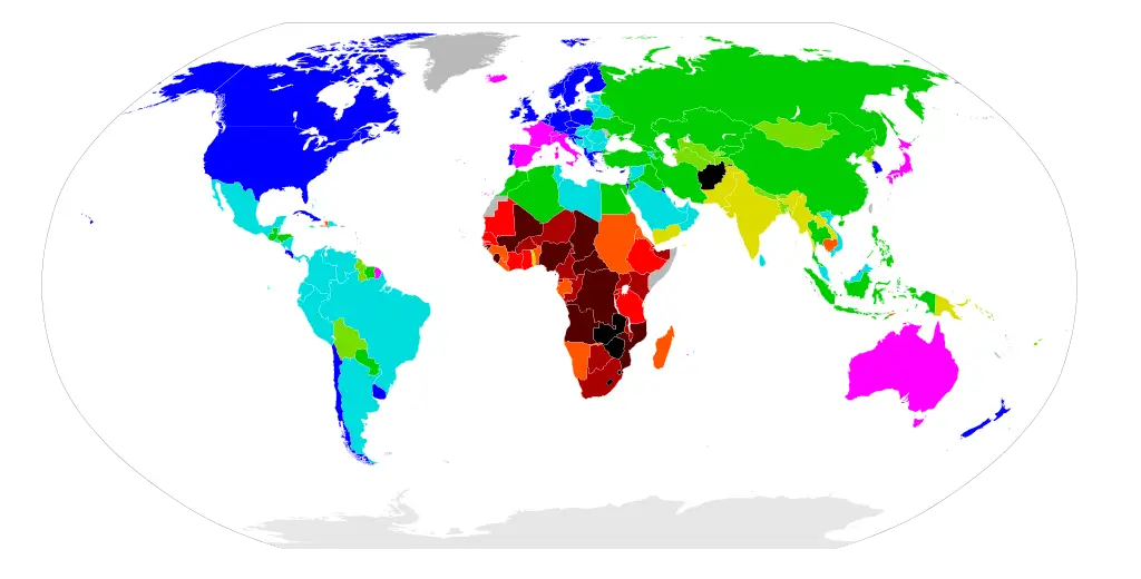
Global Distribution Map -
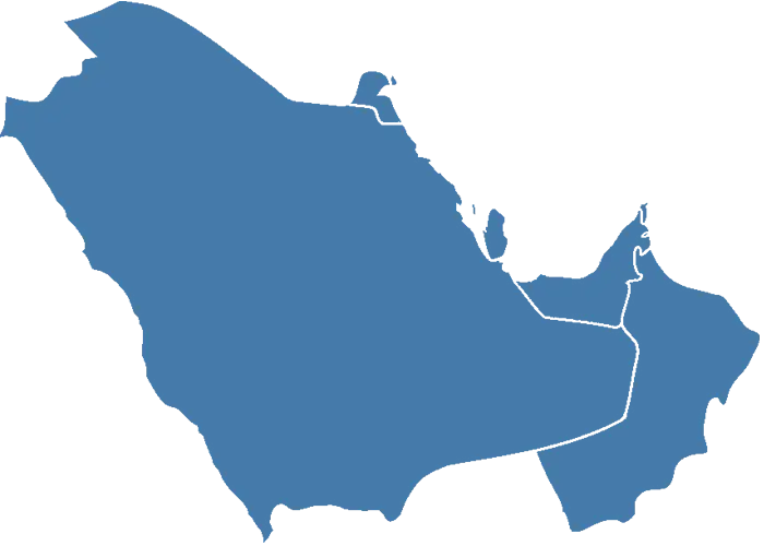
Map of the Middle East Region -
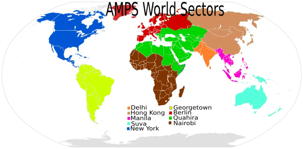
AMPS World Sectors Map -

Outline Map of Brazil -
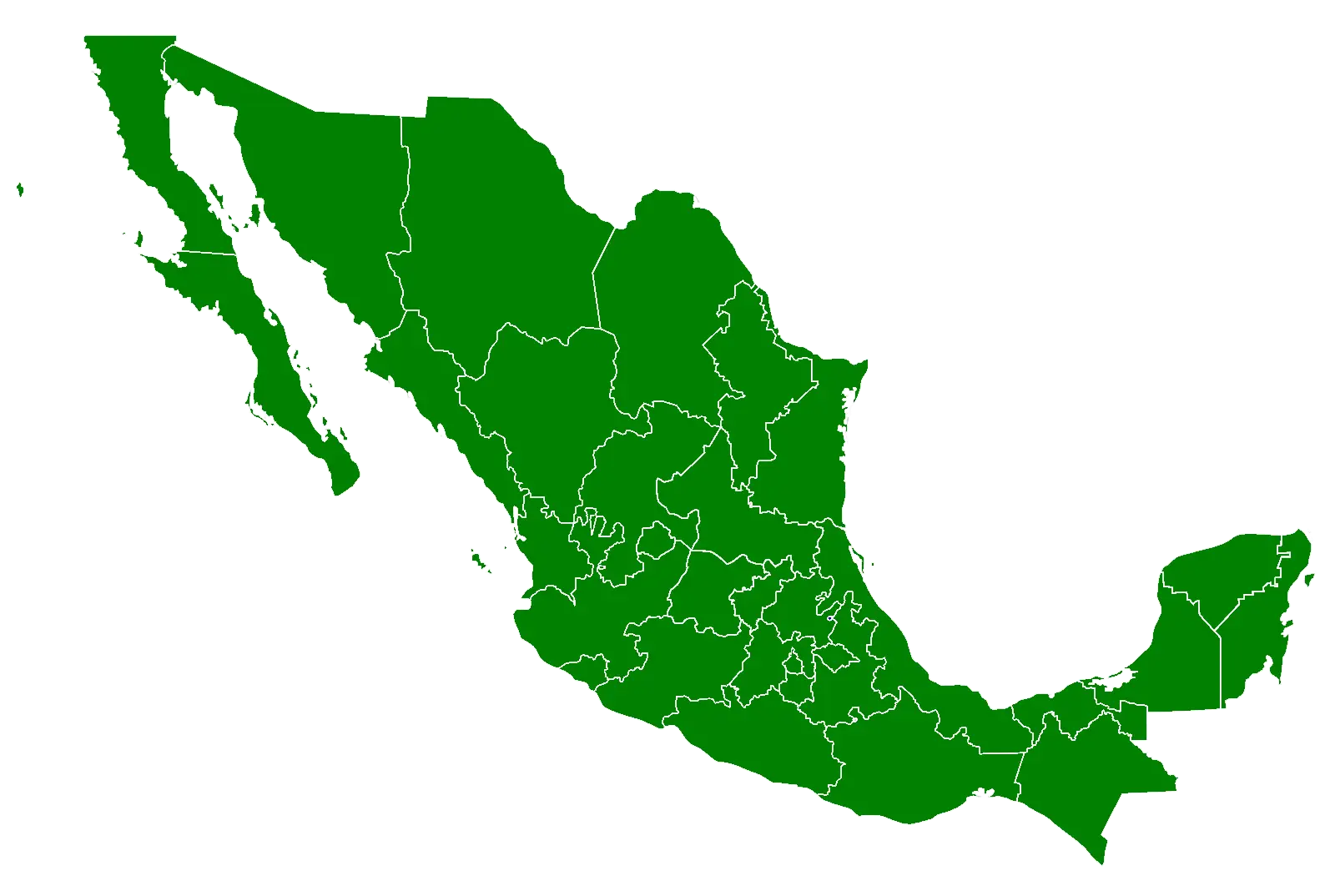
Green Map of Mexico -
Outline Map of Germany -
Silhouette Map of Tunisia -
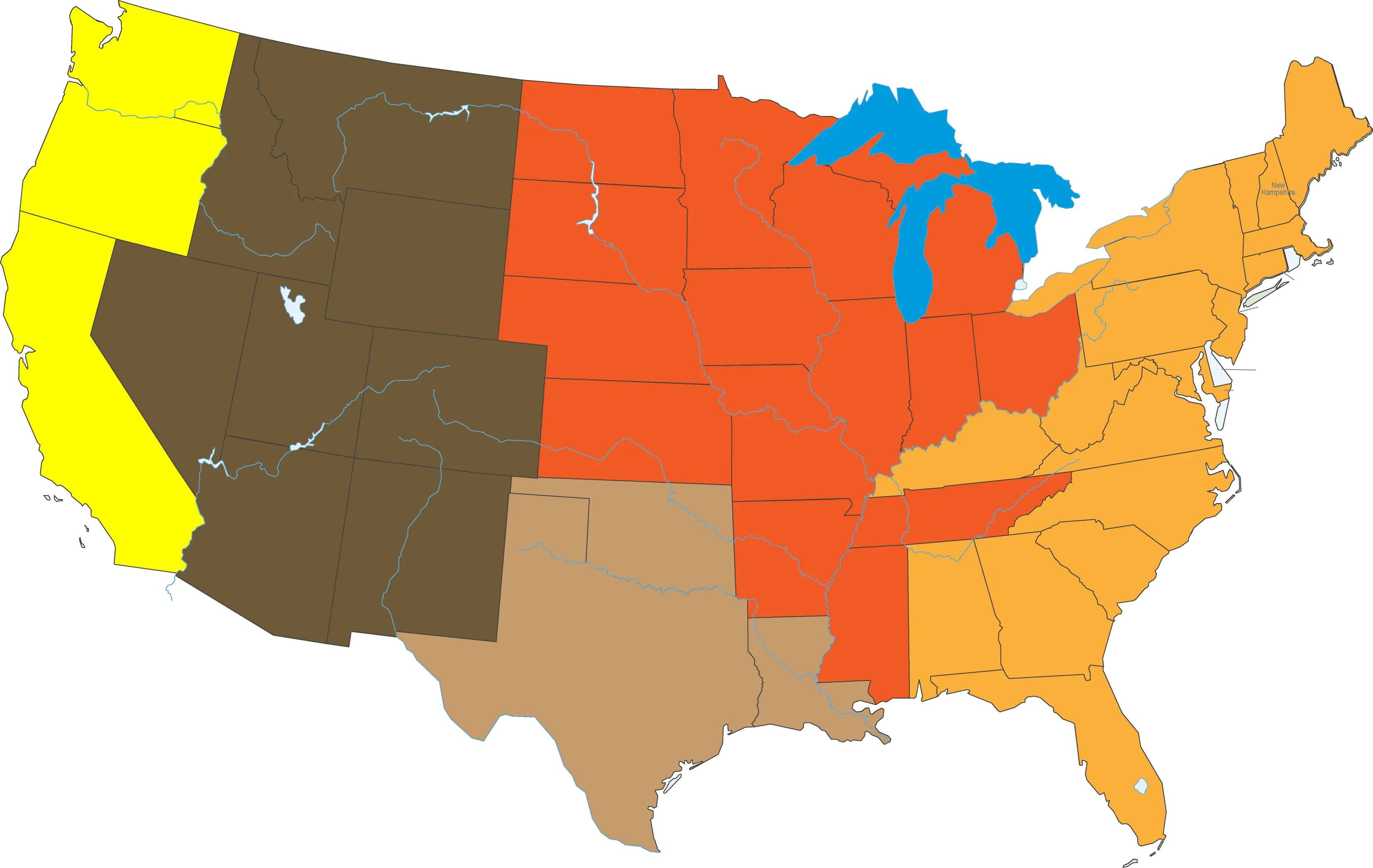
Color-Coded Map of the U.S. Regions -

Educational Globe with Map for Learning -
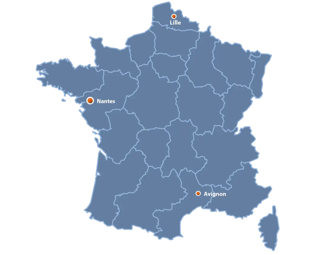
Map of France with Cities Highlighted -

World Map Silhouette Design -
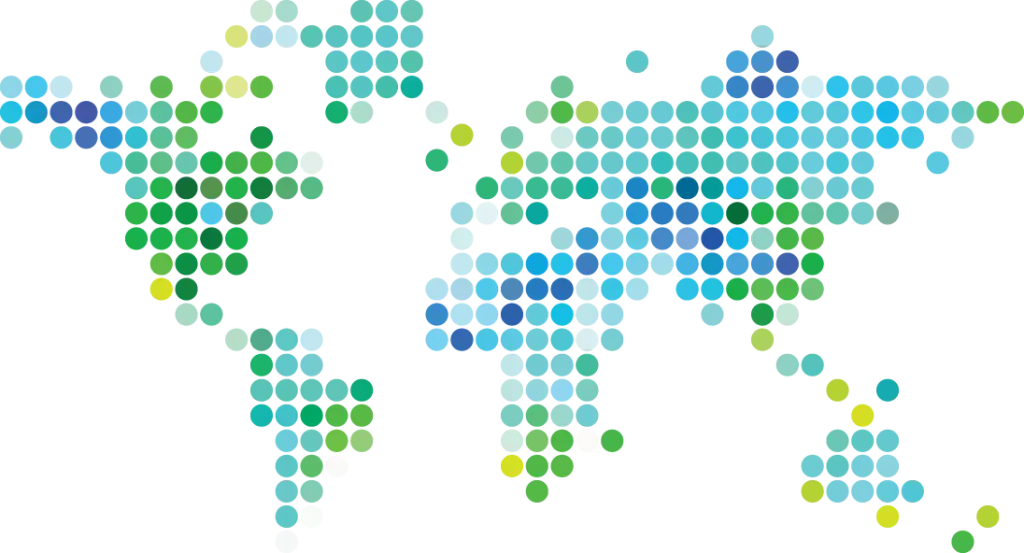
Abstract Dotted World Map Design -

World Map with Location Markers -
Map of Italy in Europe -
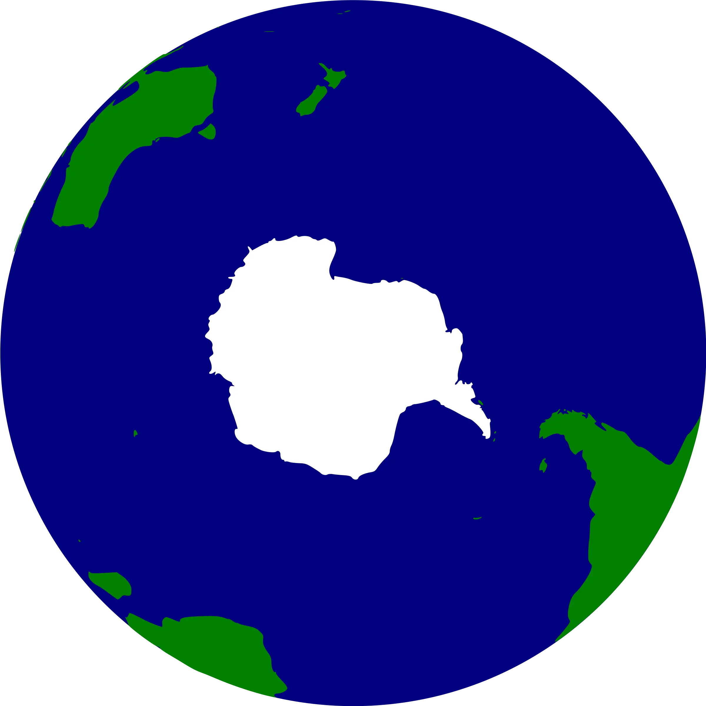
Map of Antarctica -
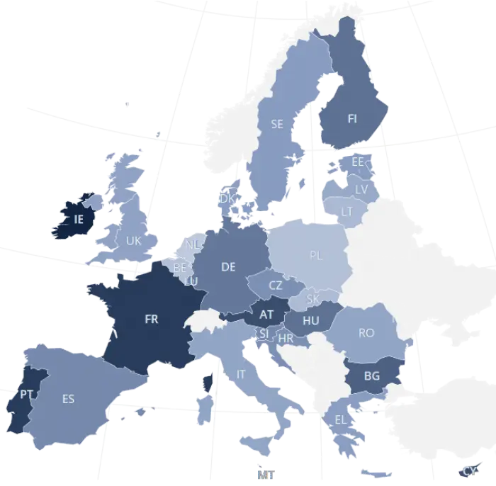
Map of Europe Illustration -

Outline Map of Europe with Country Borders -
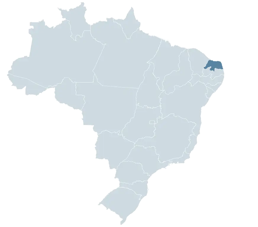
Map of Brazil with Highlighted State -
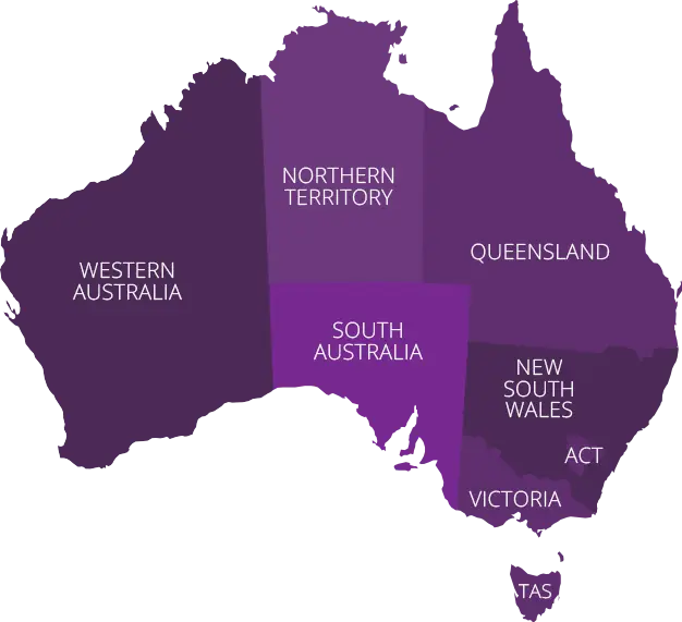
Map of Australia Highlighting States -
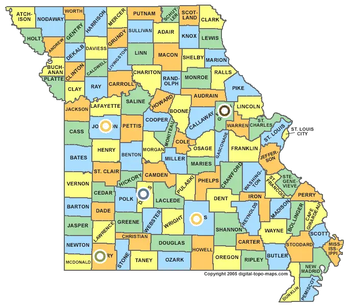
Missouri State Map with Counties -
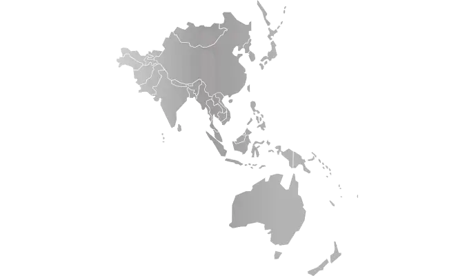
Grey Map of Asia-Pacific Region -

Earth Illustration Highlighting Continents -
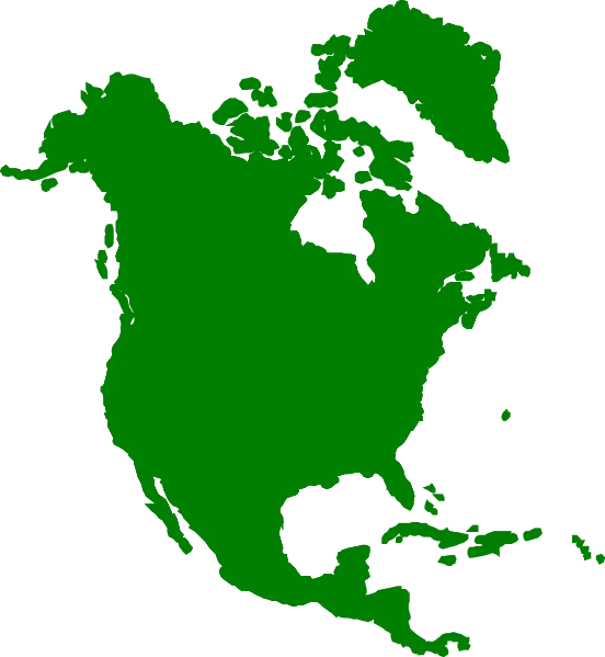
Green Map of North America -

Location Marker on Globe Icon -
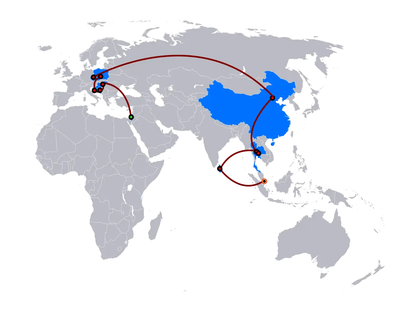
World Map with Travel Paths -

Simple Geographical Map Silhouette -
Earth Globe with Visible Continents -

Africa Continent Outline Map -
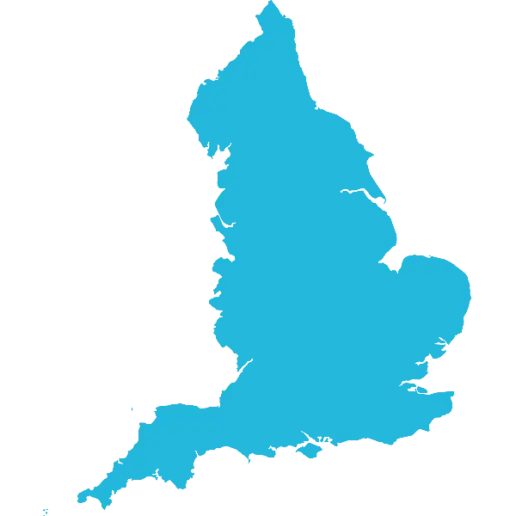
Map of England in Blue Silhouette -
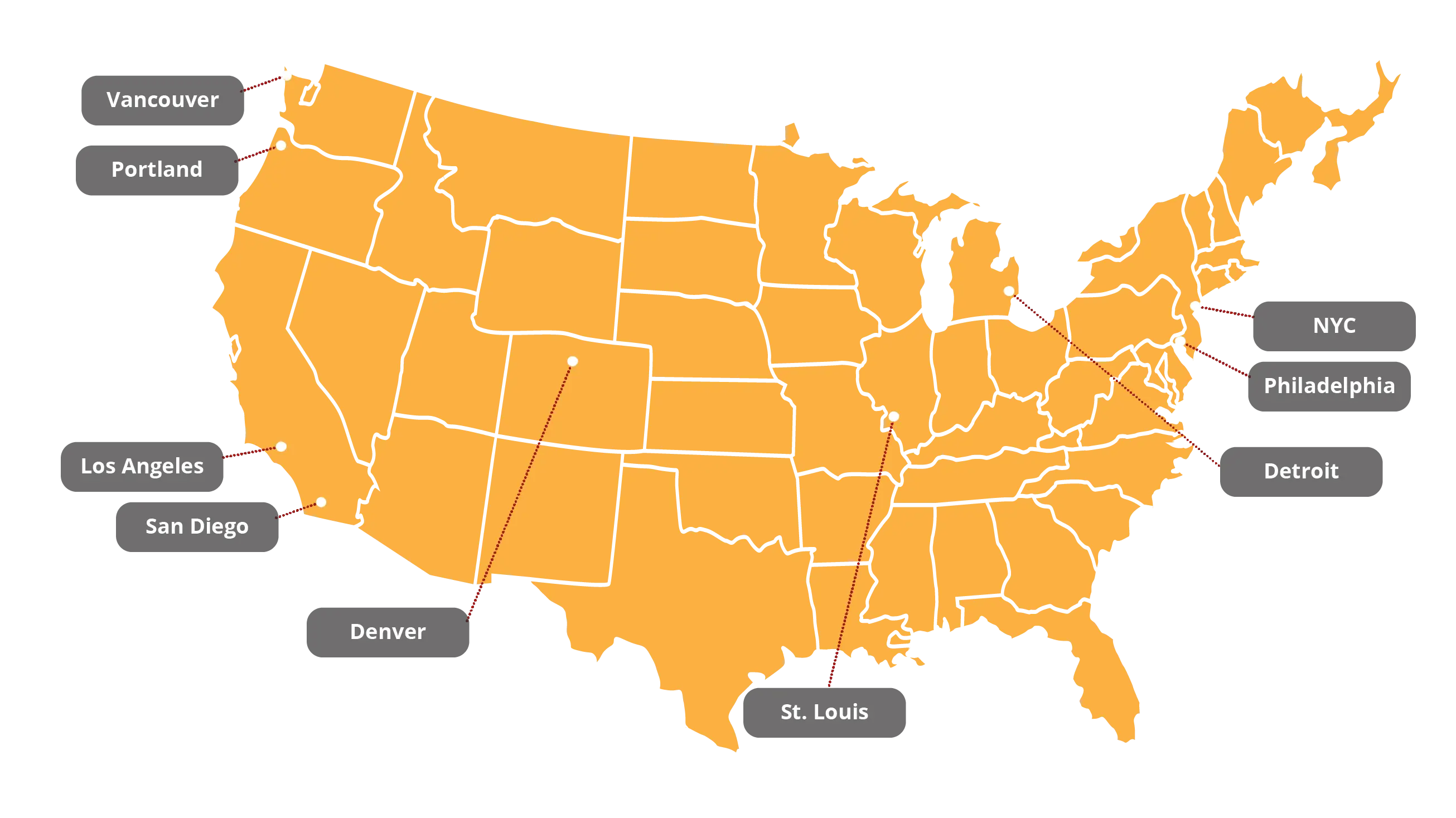
Map with Key Cities in the United States -
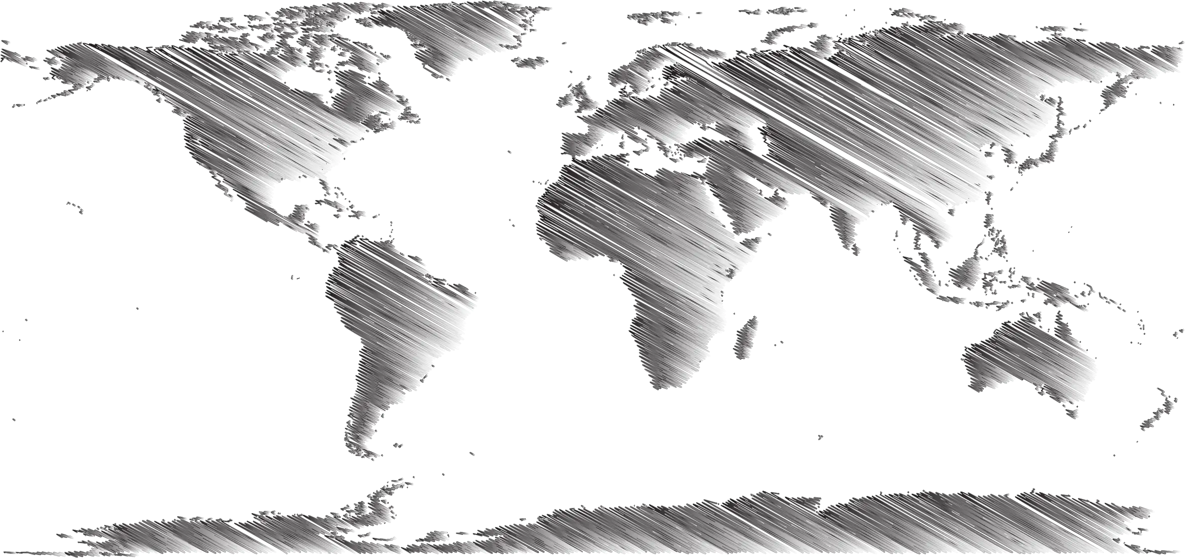
Etched Style World Map Illustration -

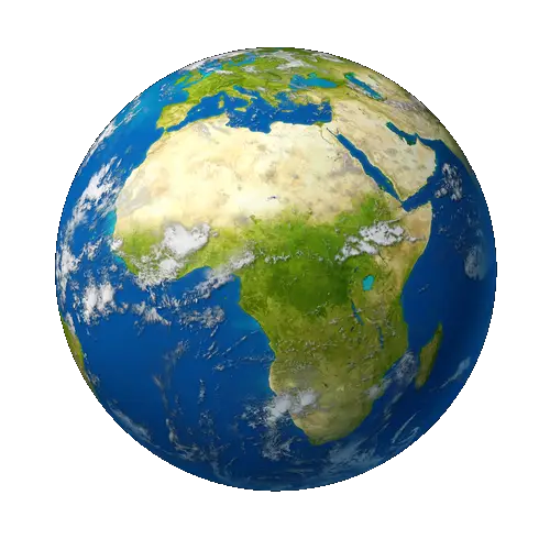
Colorful Blue and Green Globe Illustration -
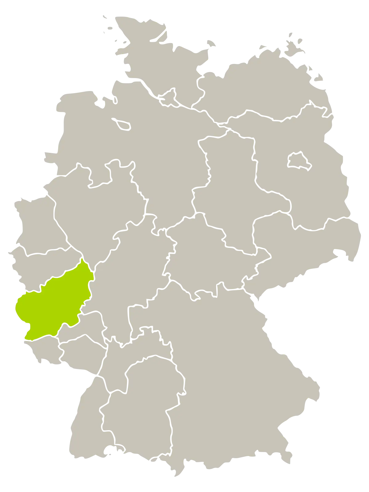
Map Highlighting a Region in Germany -
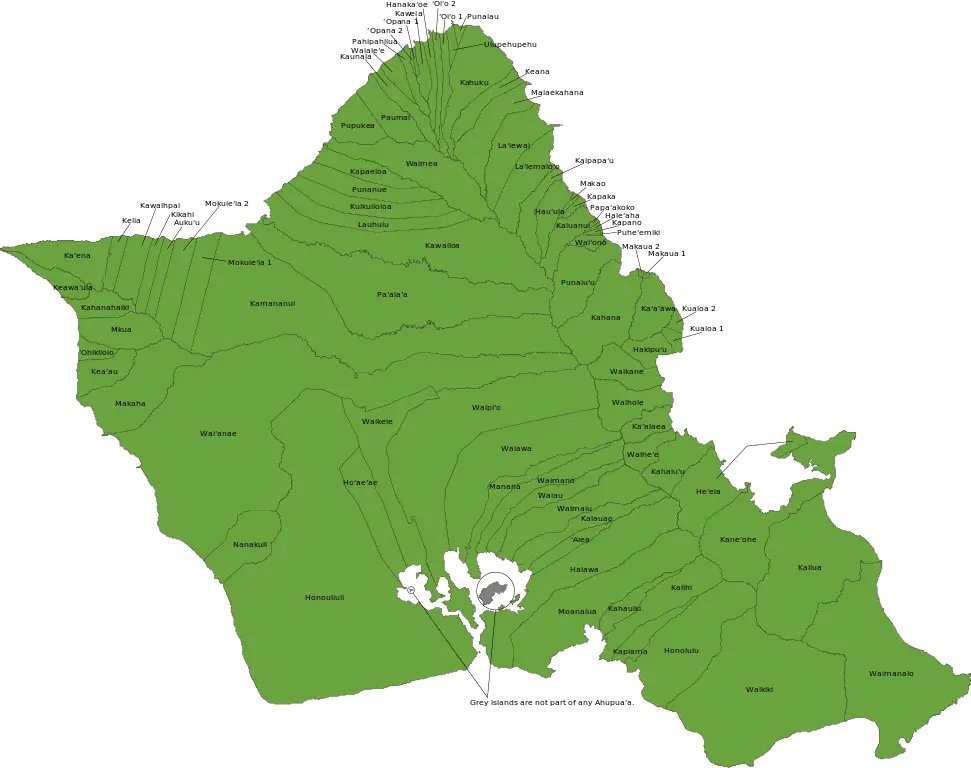
Map of Oahu Island