Free Geography Cliparts and Illustrations - Page 8
Free 468 geography cliparts & illustrations for your personalized works, such as blue and green globe illustration, blue map of cambodia, maharashtra state map, world map for global geography and many more.
-
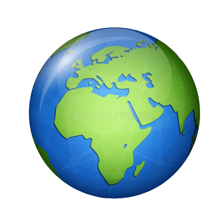
Blue and Green Globe Illustration -
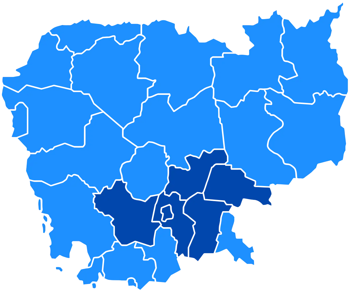
Blue Map of Cambodia -
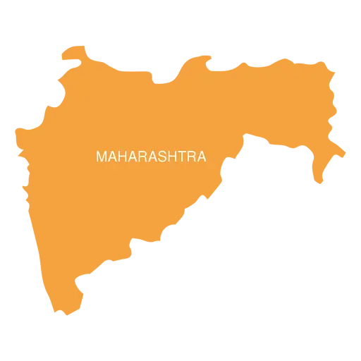
Maharashtra State Map -
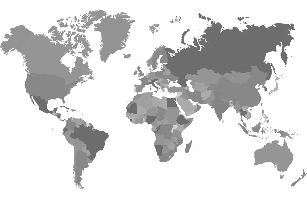
World Map for Global Geography -
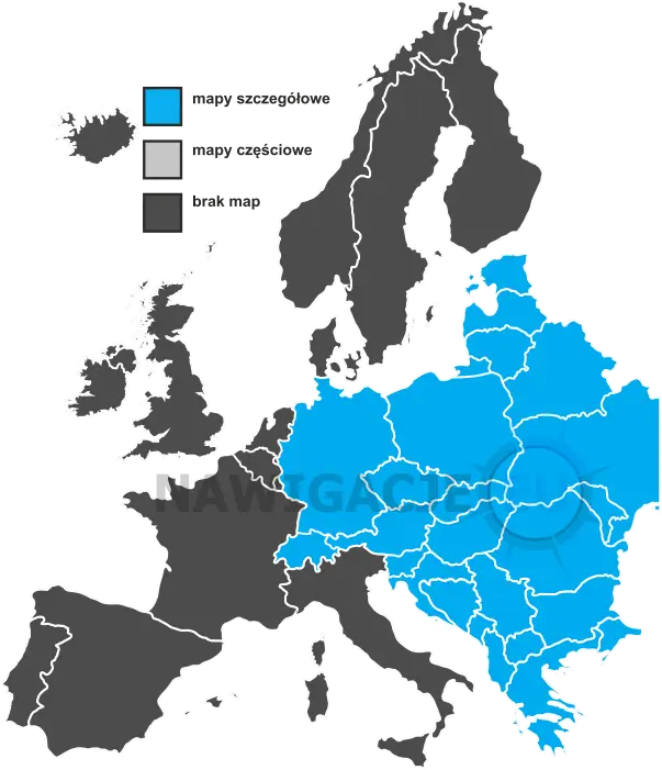
Detailed and Partial Maps of Europe -
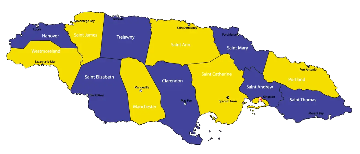
Map of Jamaica with Regions -
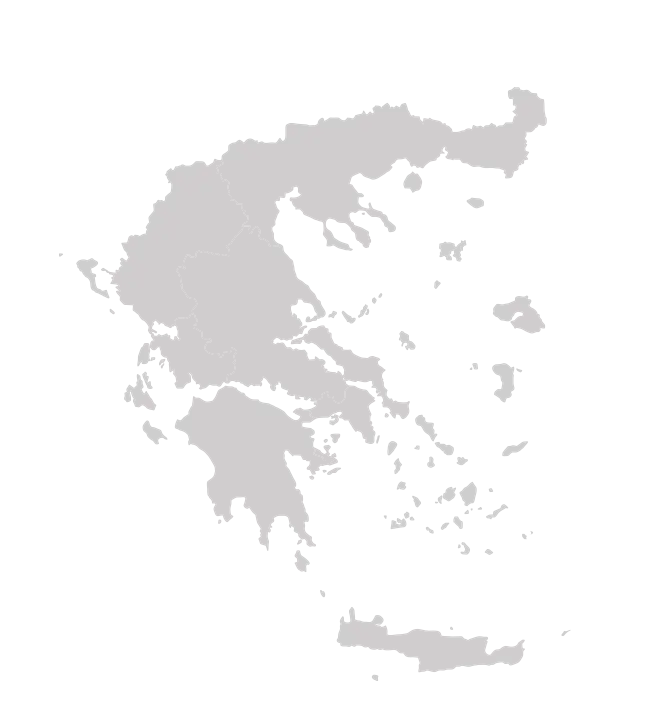
Map of Greece Outline -
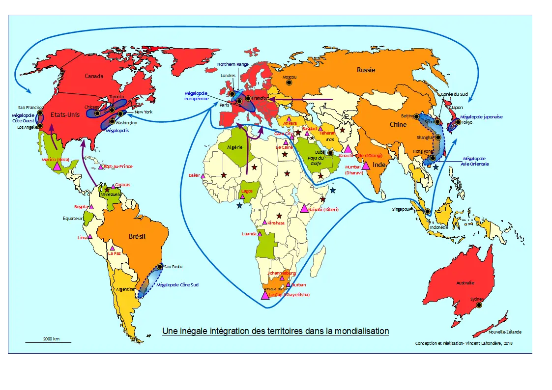
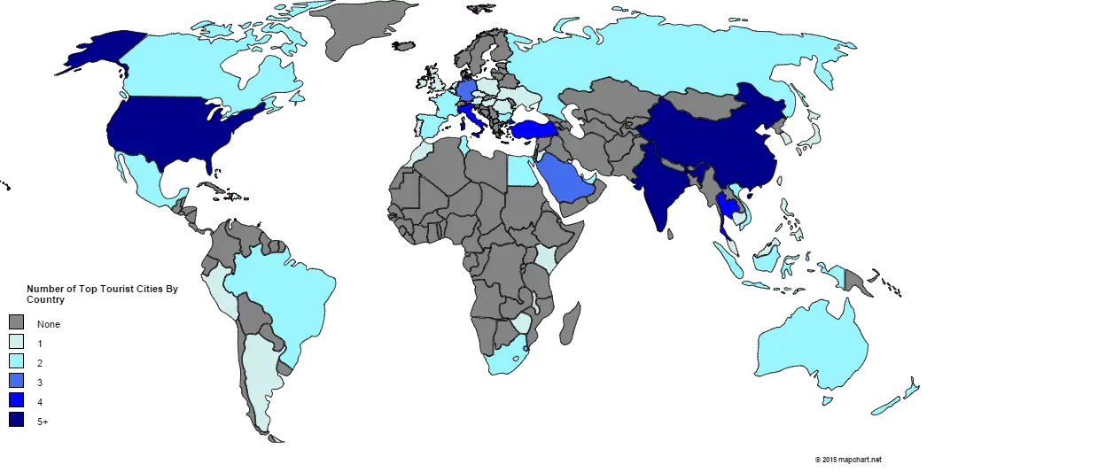
World Map with Globalization -

Illustrated world map with city markers -
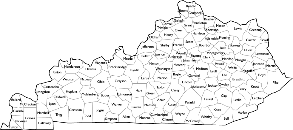
Detailed Map of Kentucky with Counties -
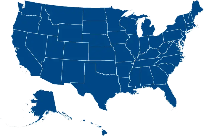
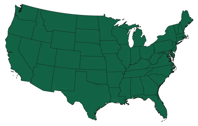
Blue United States Map -
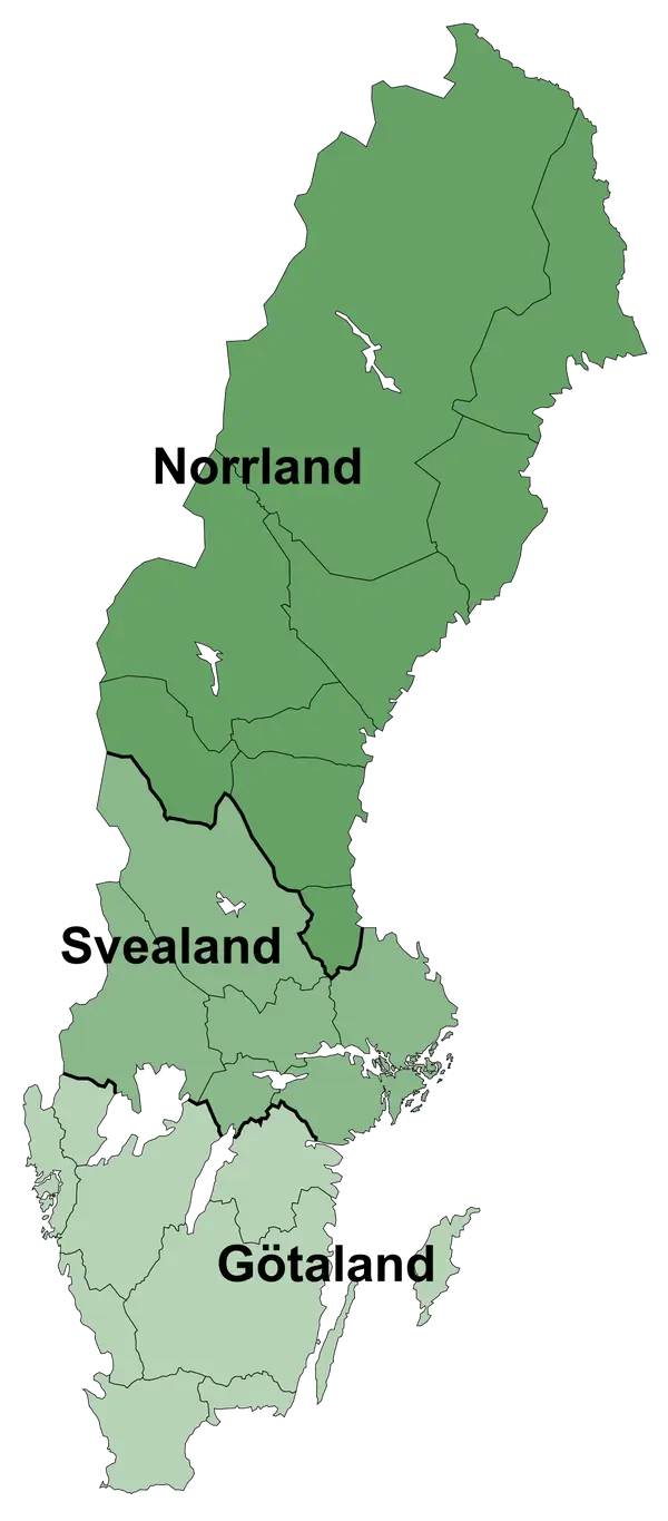
Map of Sweden with Regions -
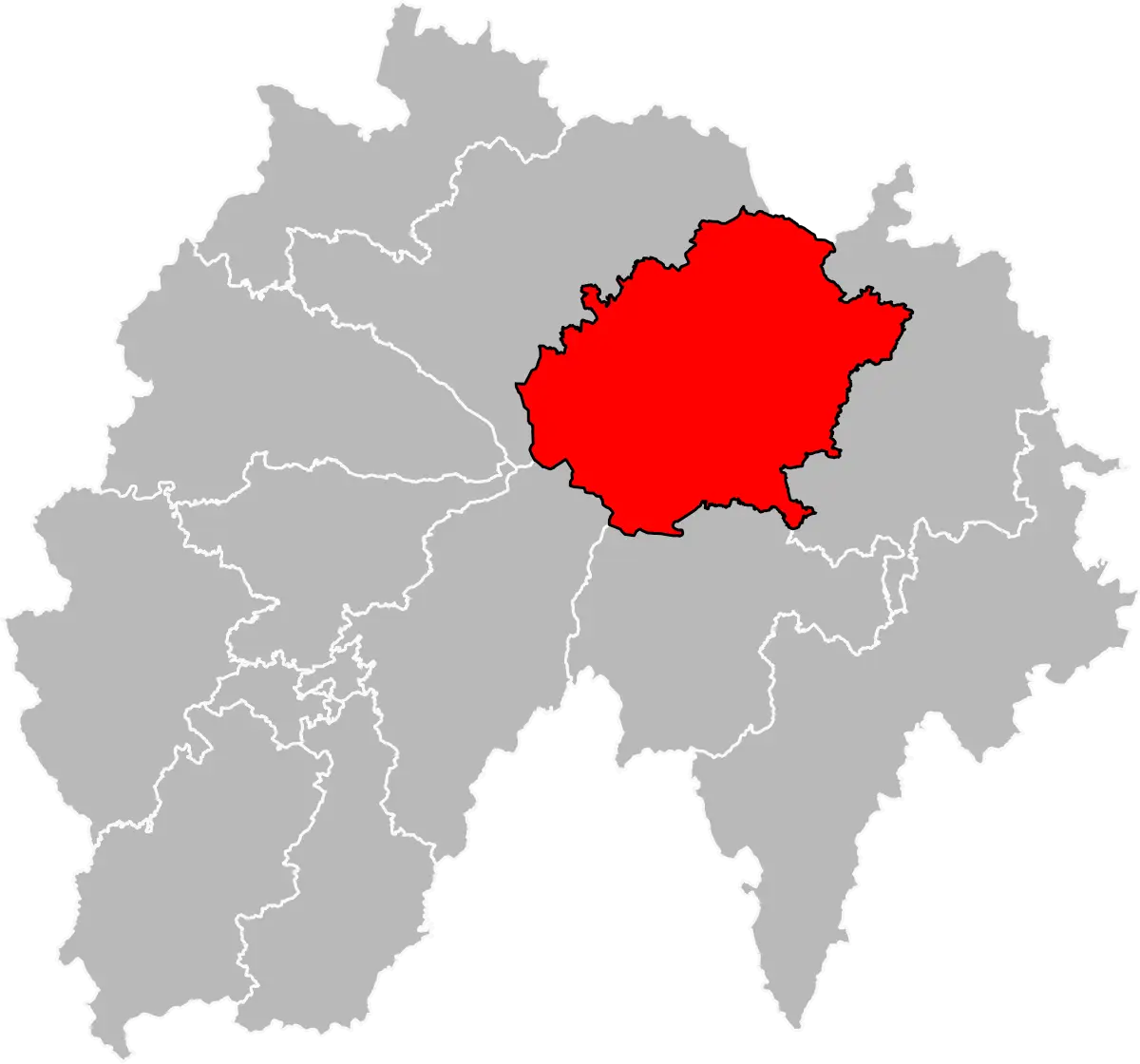
Map Highlighting a Red Area -
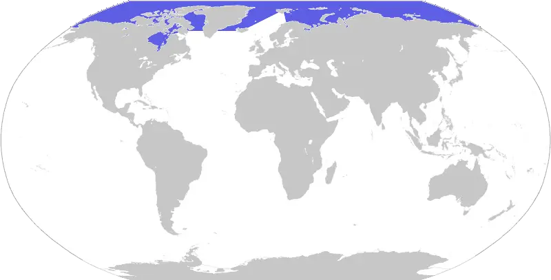
World Map with Highlighted Area -
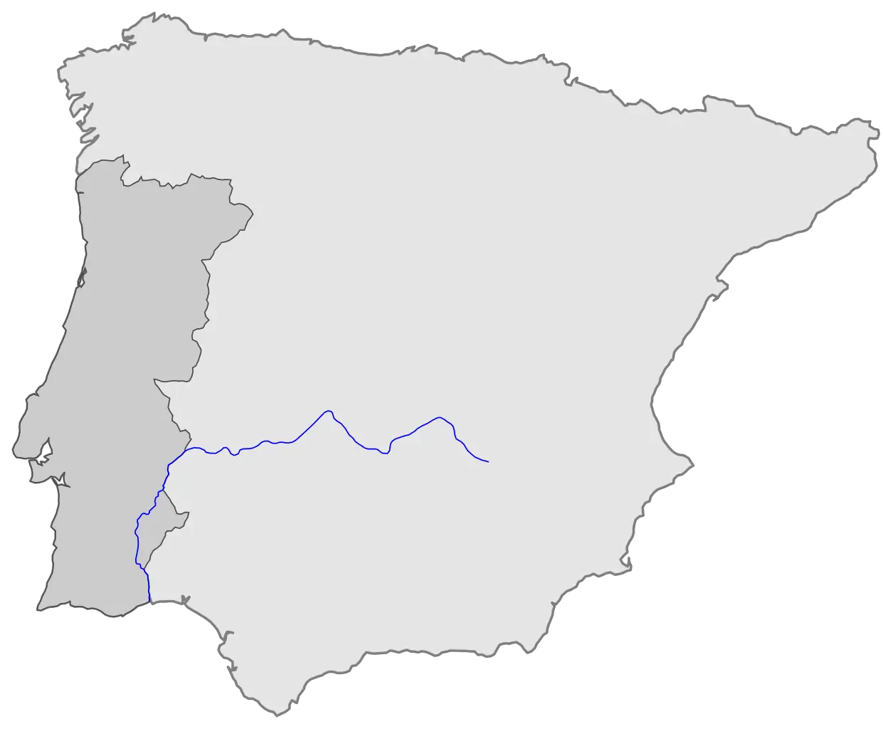
Map of Iberian Peninsula Featuring River -

Outline Map of Regions -
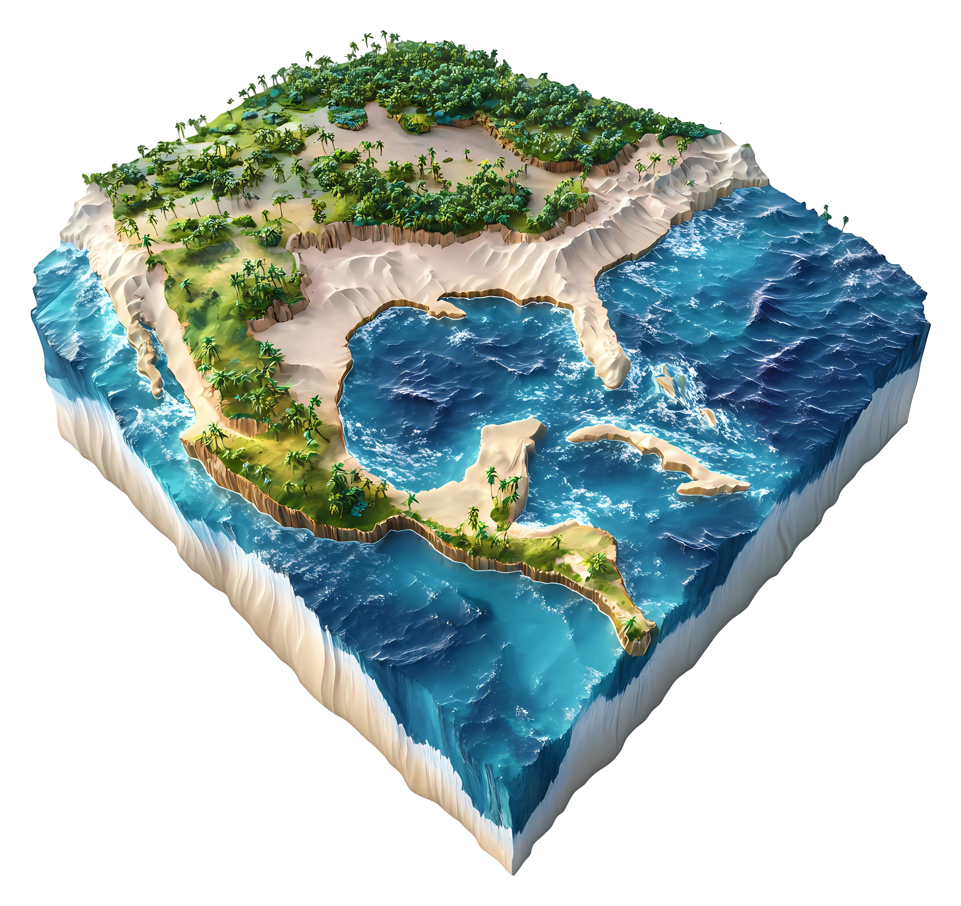
3D Map of a Continent -
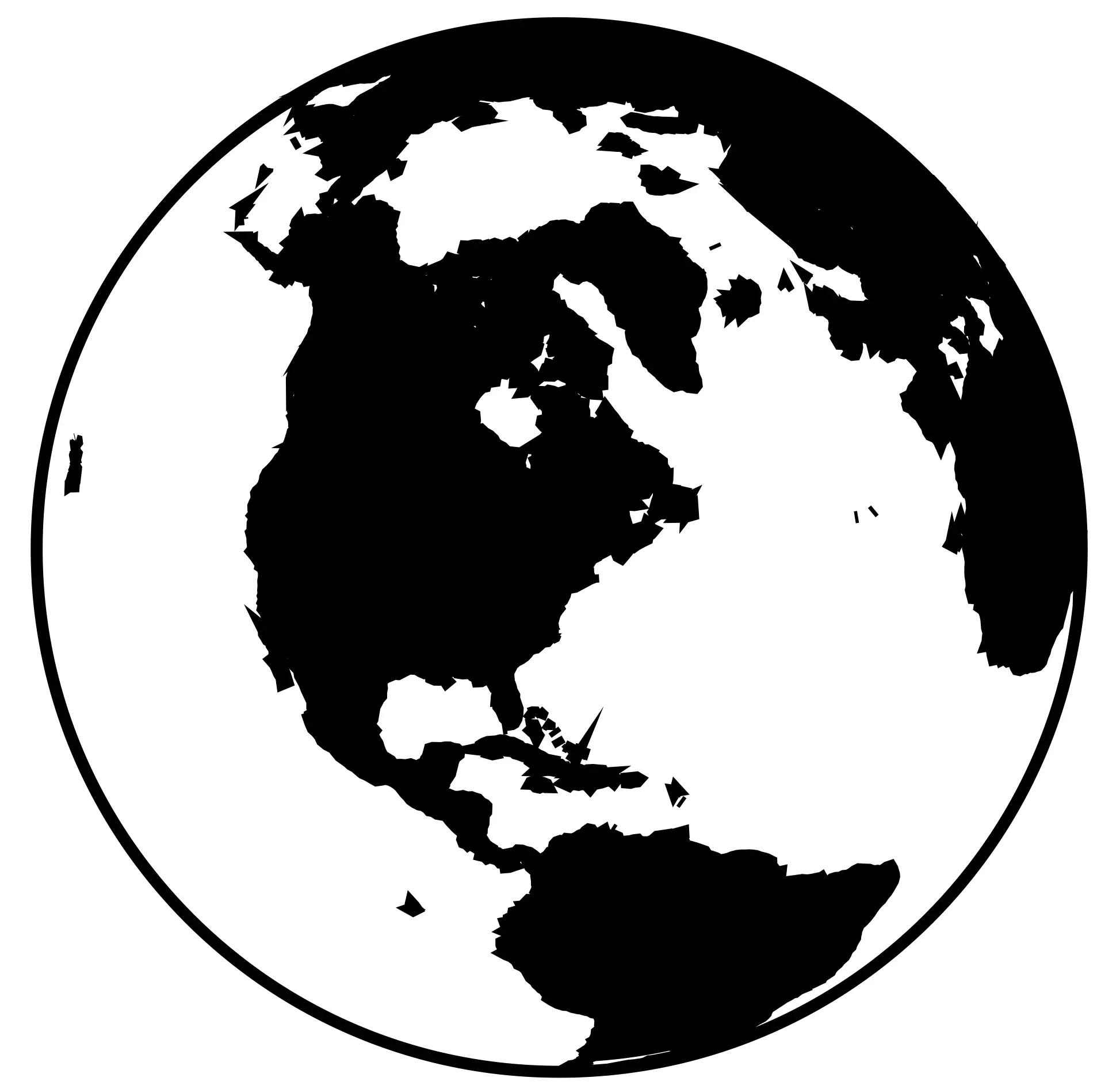
Globe Map Silhouette Illustration -
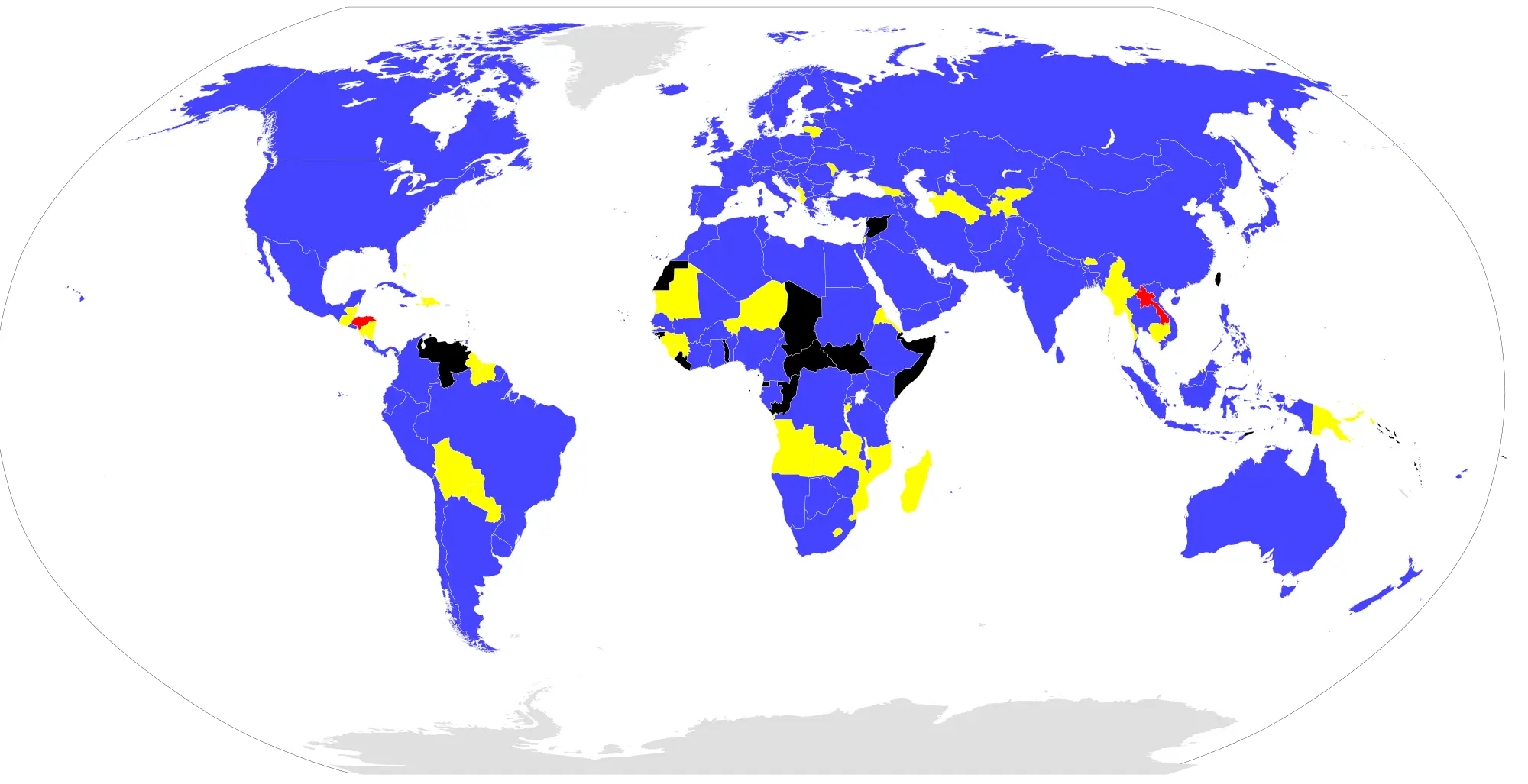
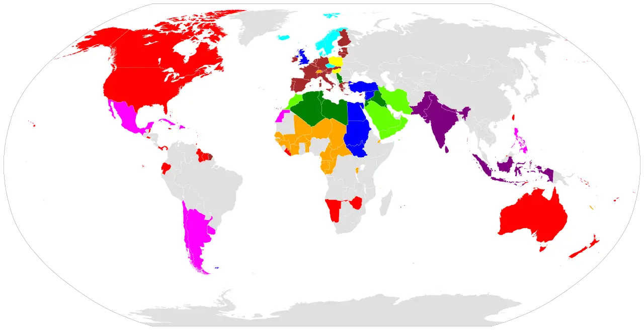
World Map with Colored Regions -

Colorful Geographic Globe on Stand -

Map of Latin America -
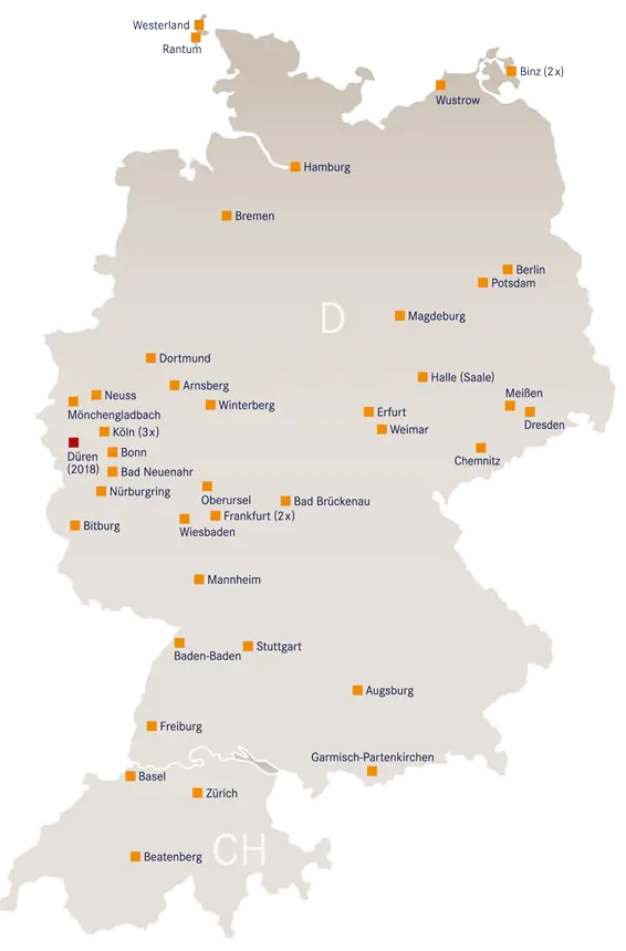
Map of Germany with Cities -

Globe for Geography -
Colored Regional Map Illustration -
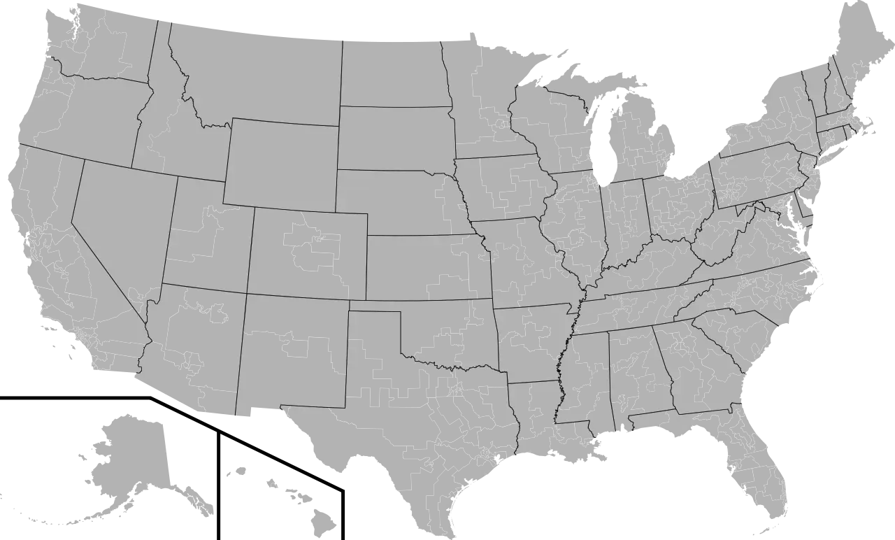
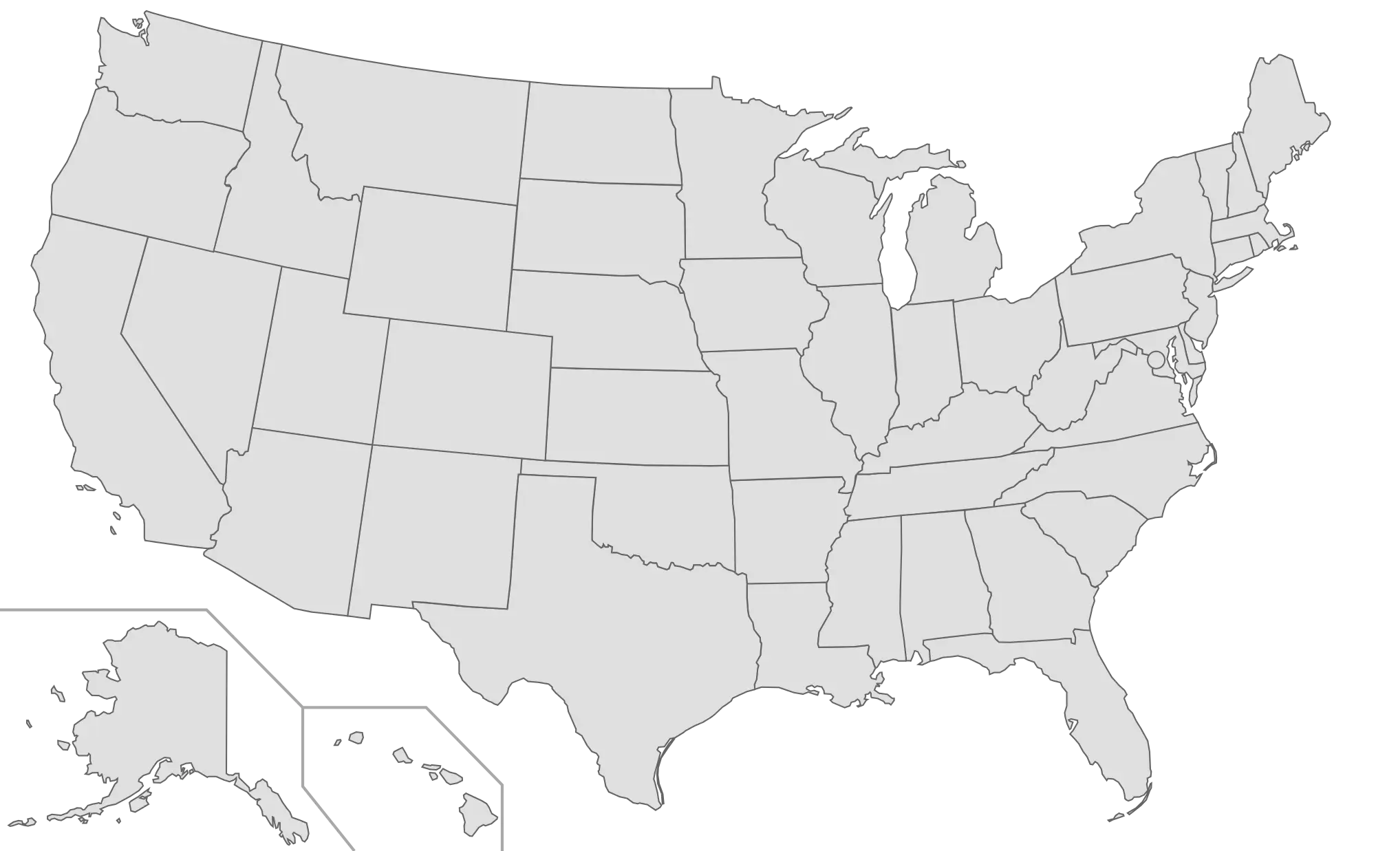
Gray Map of the United States -
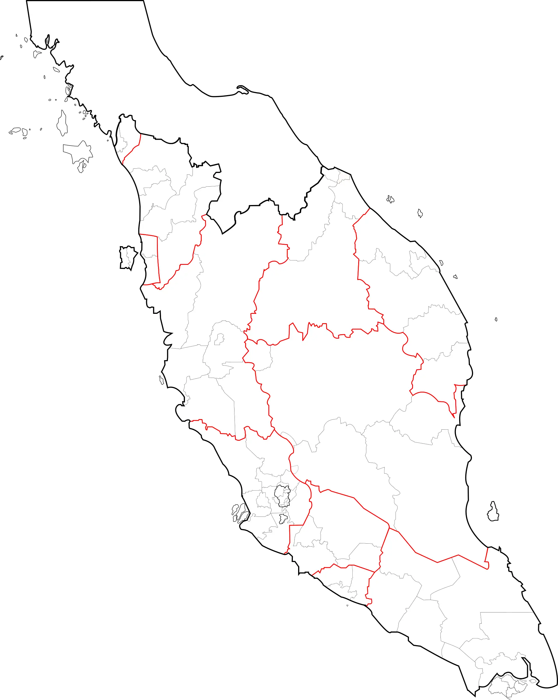
Peninsular Malaysia Map Outline -

Wooden Globe -
Outline Map of the United States of America -
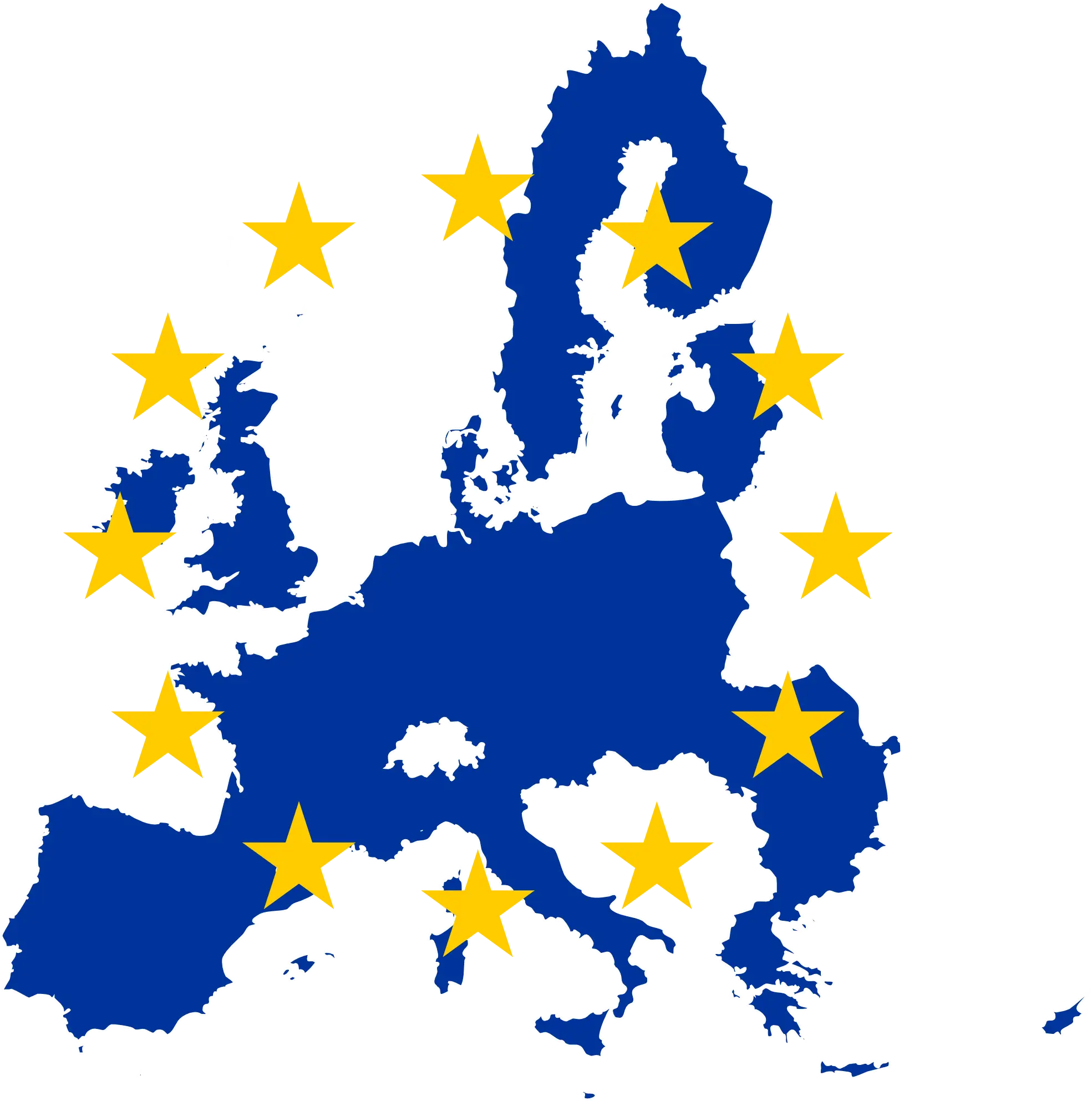
European Union Map with Yellow Stars -

World Map with Country Flag Illustration -

Highlighted Angola on World Map -
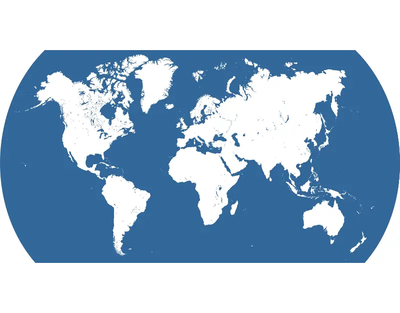
World Map with Blue and White Design -

Globe Grid for Global Representation -
World Map Illustration -
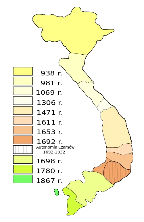
Historical Map of Vietnam -
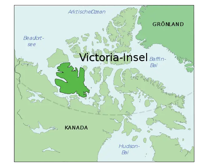
Map of Victoria Island -
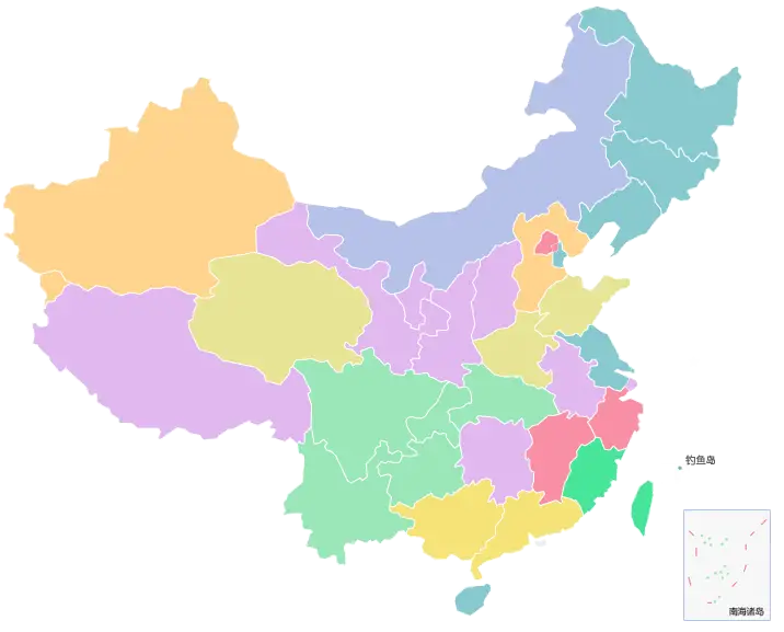
Colorful Map of China with Provinces -
Planet Earth Illustration Highlighting Geography -

Earth Globe Illustration -
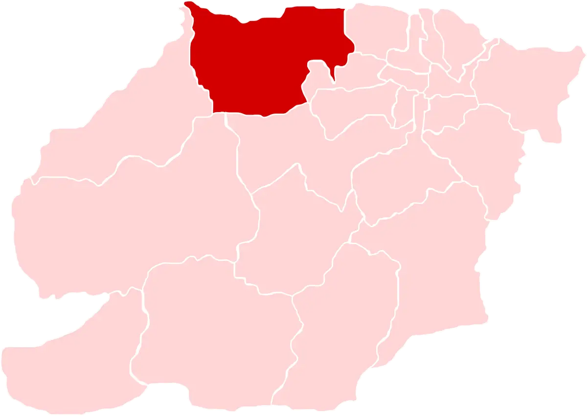
Map Showing Red-Highlighted Region -
Colored World Map Illustration -
Green Outline Map of the United States -
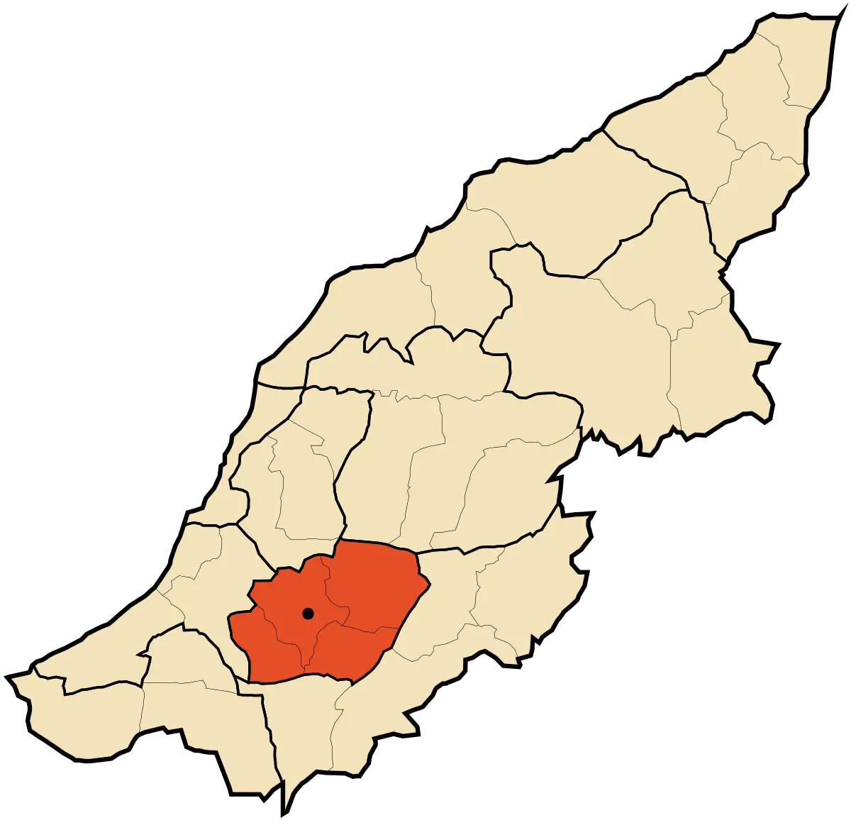
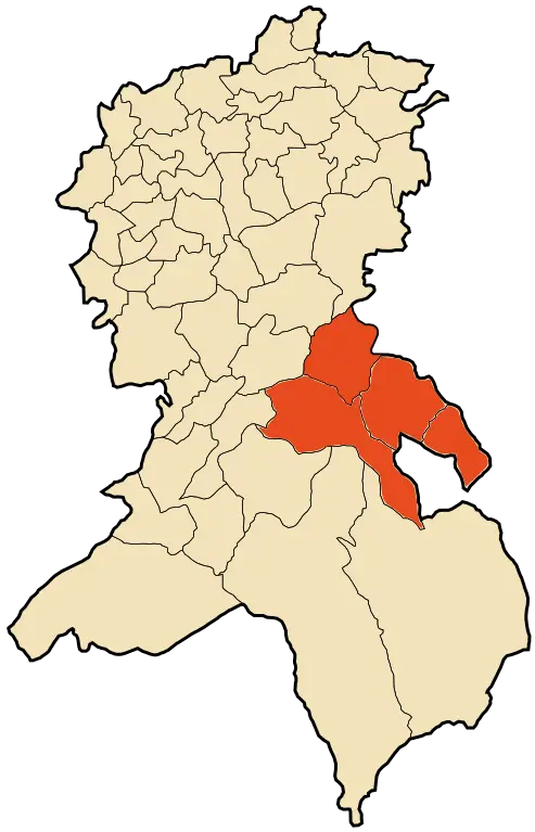
Map Highlighting a Specific Region -
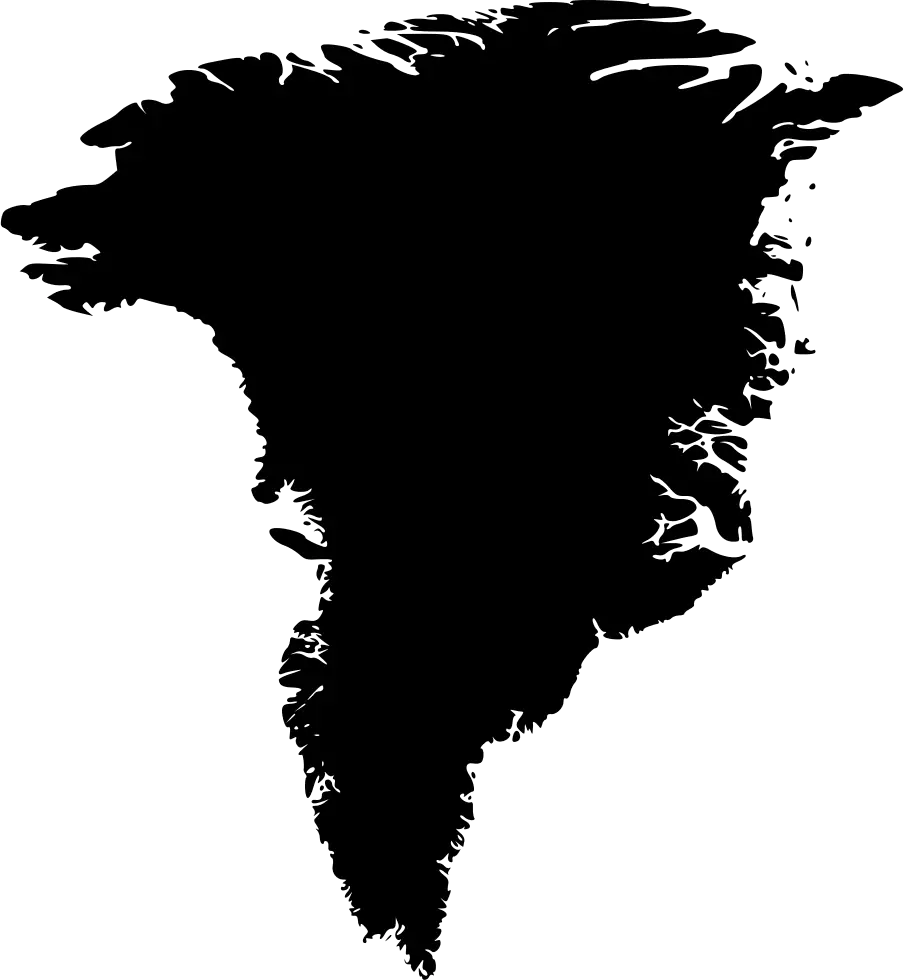
Black Silhouette Map of Greenland -
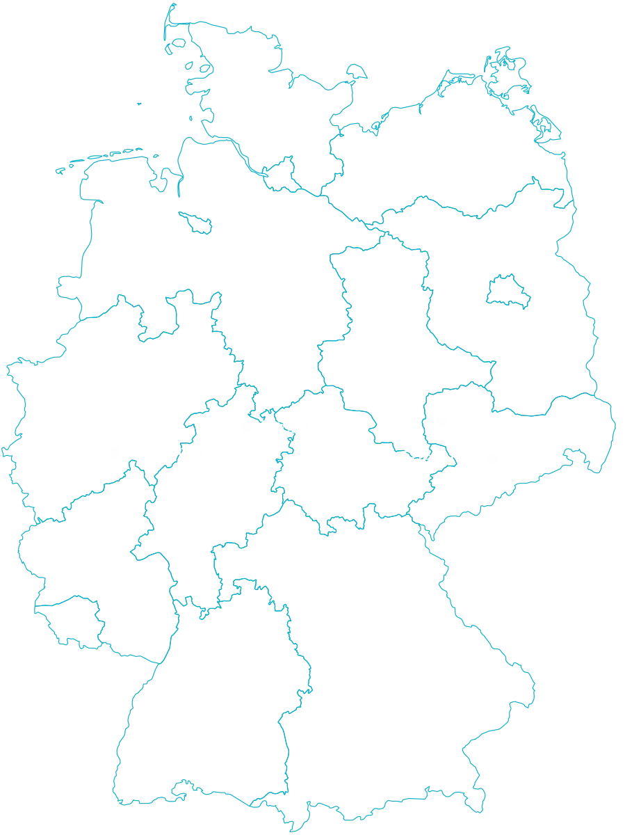
Outline Map of Germany with Borders -
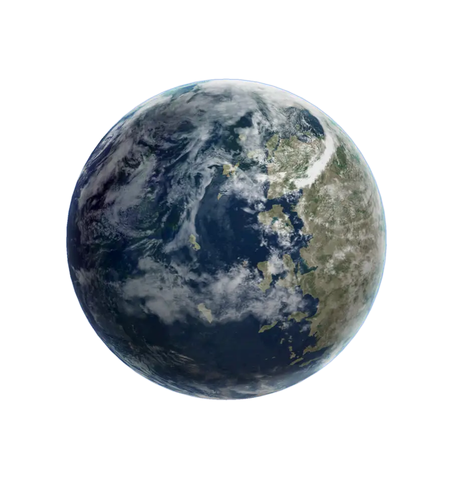
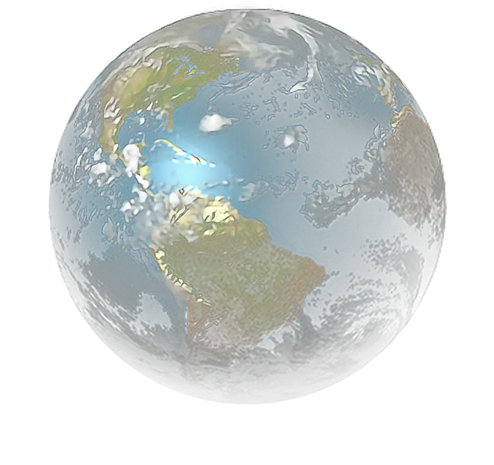
Realistic Earth Globe with Geographic Detail -
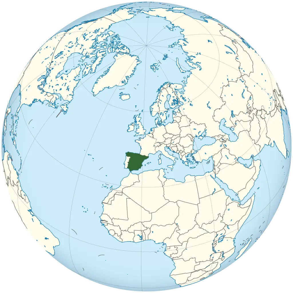
Map Highlighting Spain -

Minimalist World Map Sketch Icon -
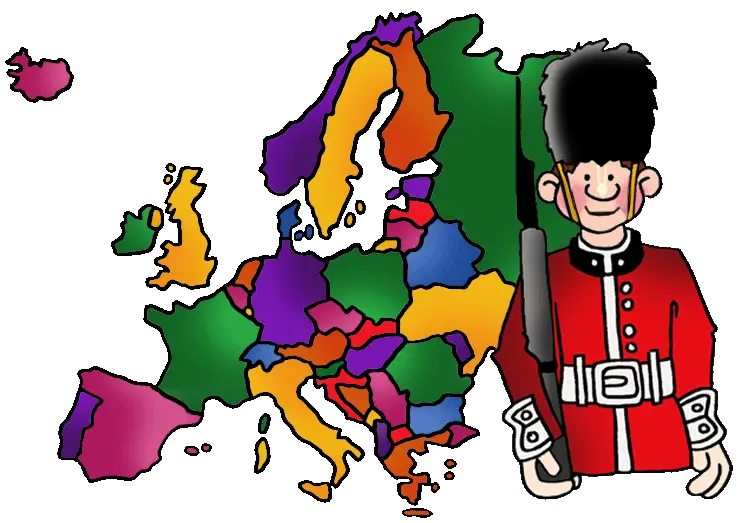
Colorful Europe Map with Guard -
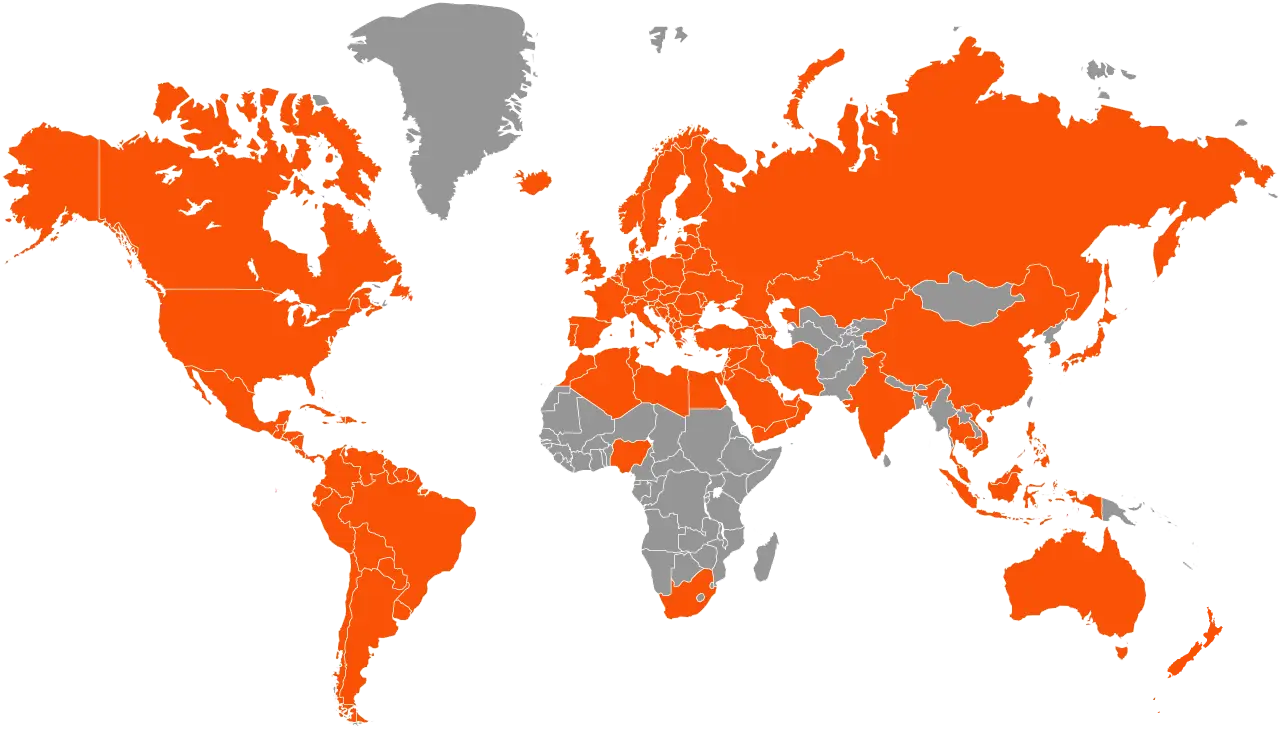
World Map in Orange and Gray Theme