Free Map Cliparts and Illustrations - Page 12
Free 637 map cliparts & illustrations for your personalized works, such as india map with national flag colors, grey political map of europe, hawaii islands map in black and blue, grayscale world map illustration and many more.
-

India Map with National Flag Colors -
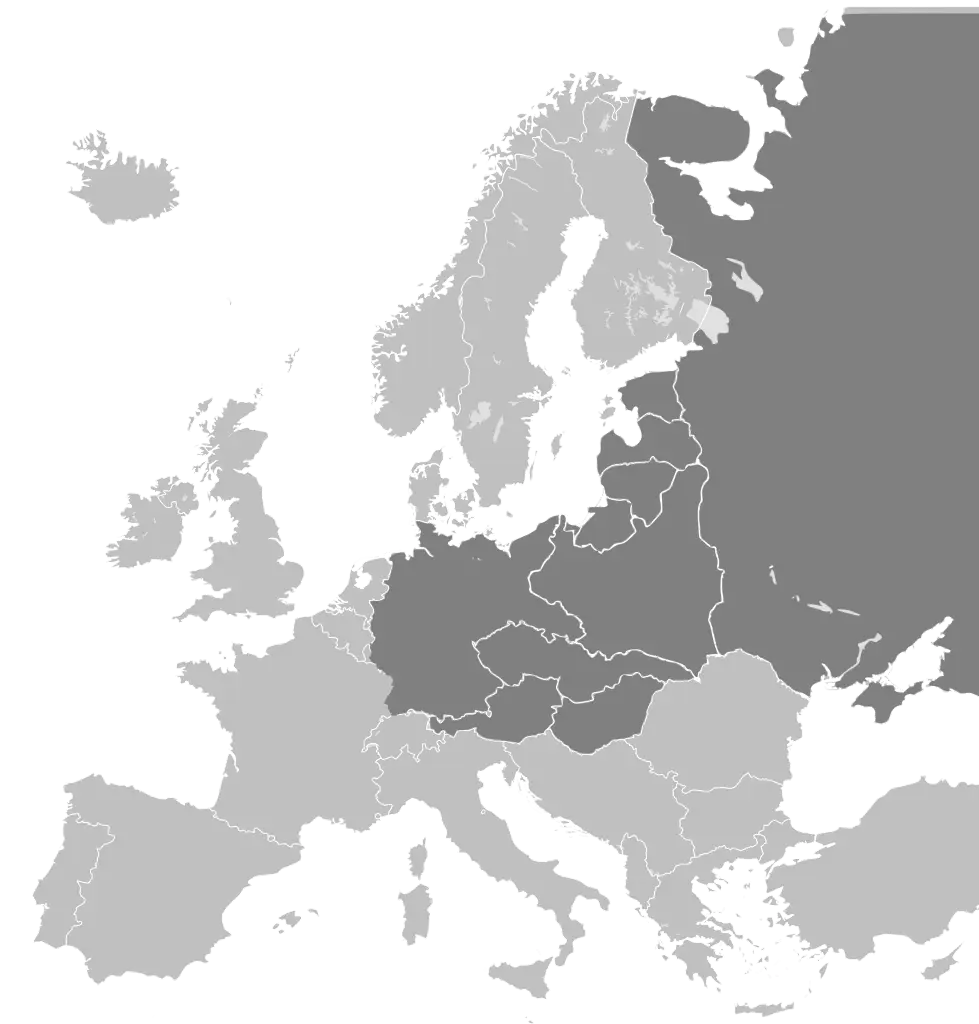
Grey Political Map of Europe -
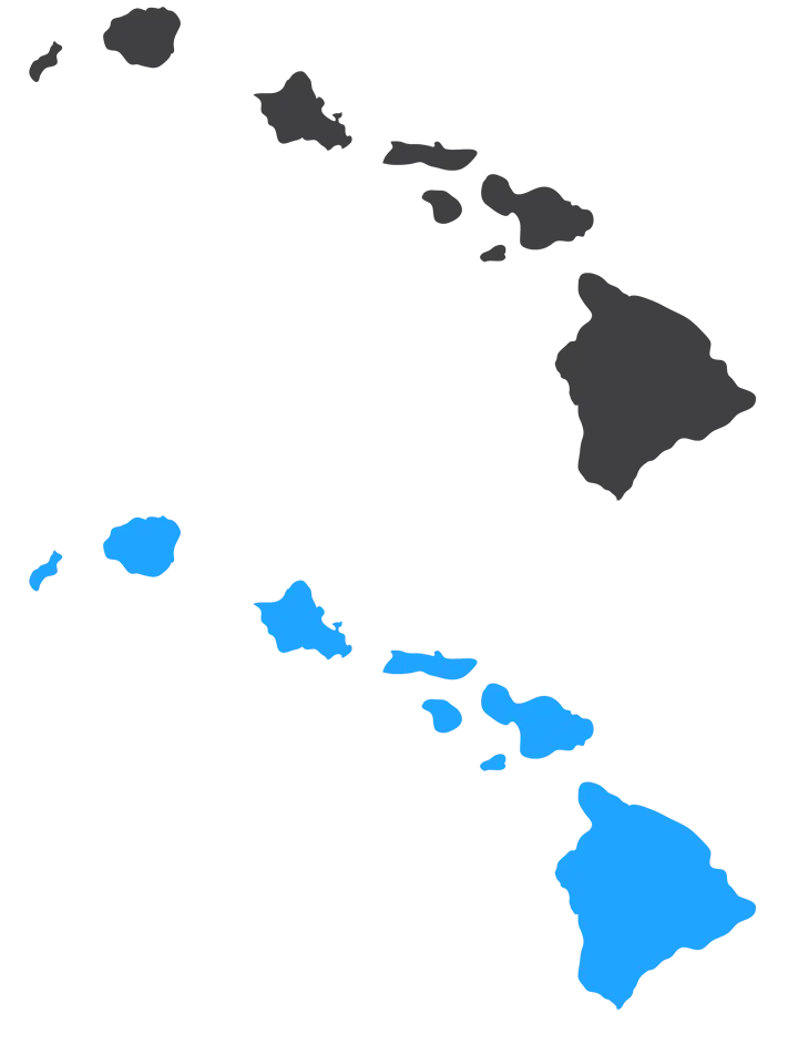
Hawaii Islands Map in Black and Blue -
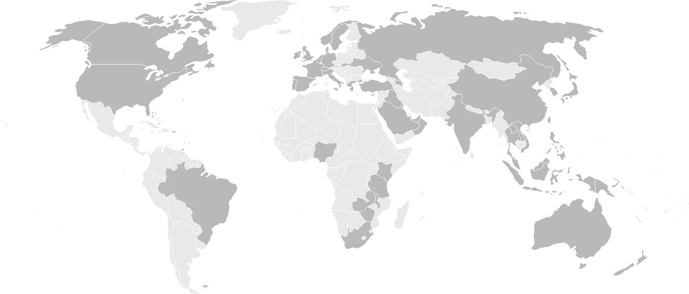
Grayscale World Map Illustration -
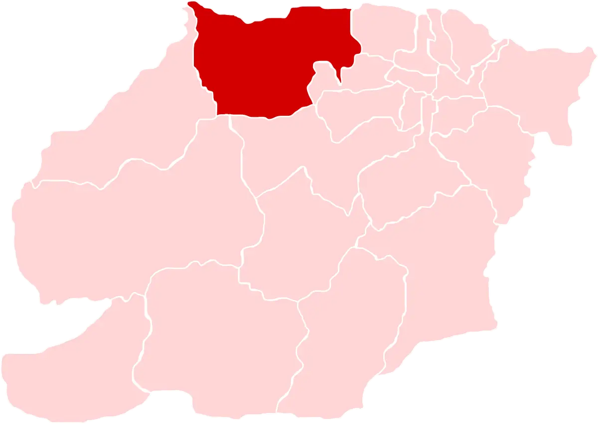
Map Showing Red-Highlighted Region -

Blue Planet Earth Icon -

Map of Mexico with Key Locations -
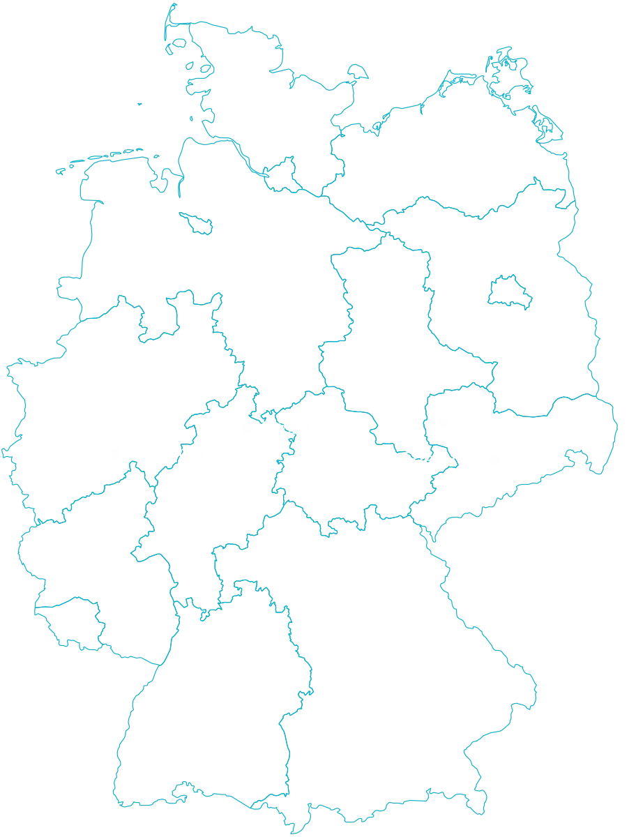
Outline Map of Germany with Borders -
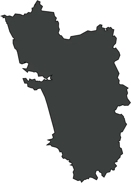
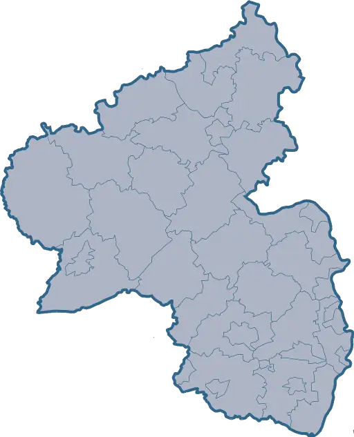
Geographical Map of a Region -

Blue Location Icon with Earth Symbol -
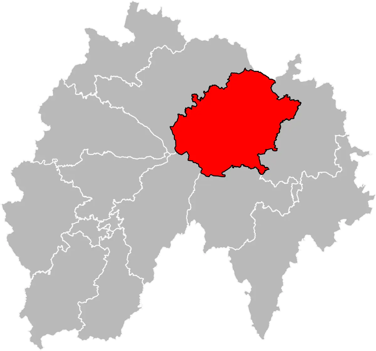
Map Highlighting a Specific Region -
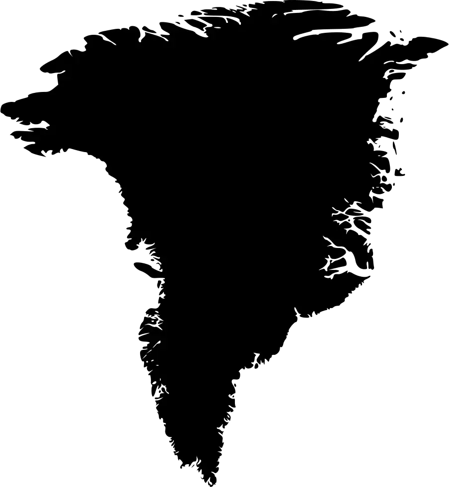
Black Silhouette Map of Greenland -

Colorful Europe Map with Guard -
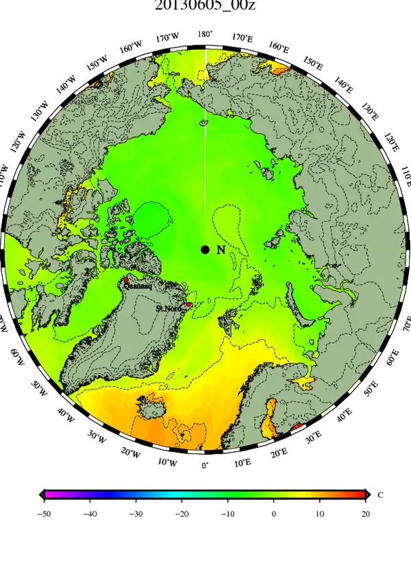
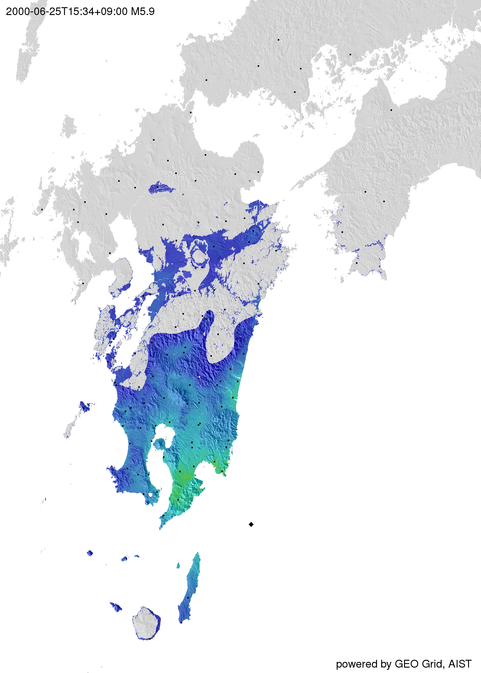
Arctic Temperature Map with Color Gradients -

New York State Political Map Illustration -

Blue Navigational Compass Graphic -
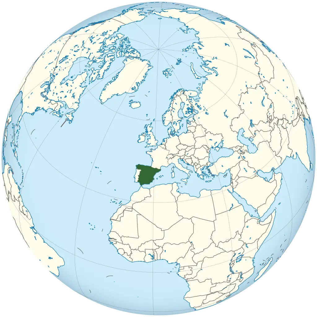
Map Highlighting Spain -
Black Silhouette Map of a Region -

Green Location Pin Symbol -

Map with Pin Icon for Navigation -

Globe with Colorful Location Pins -

Car and Toll Booth Icon for Road Systems -

Rainbow Colored Map of Haiti -

Abstract Blue Globe Design -
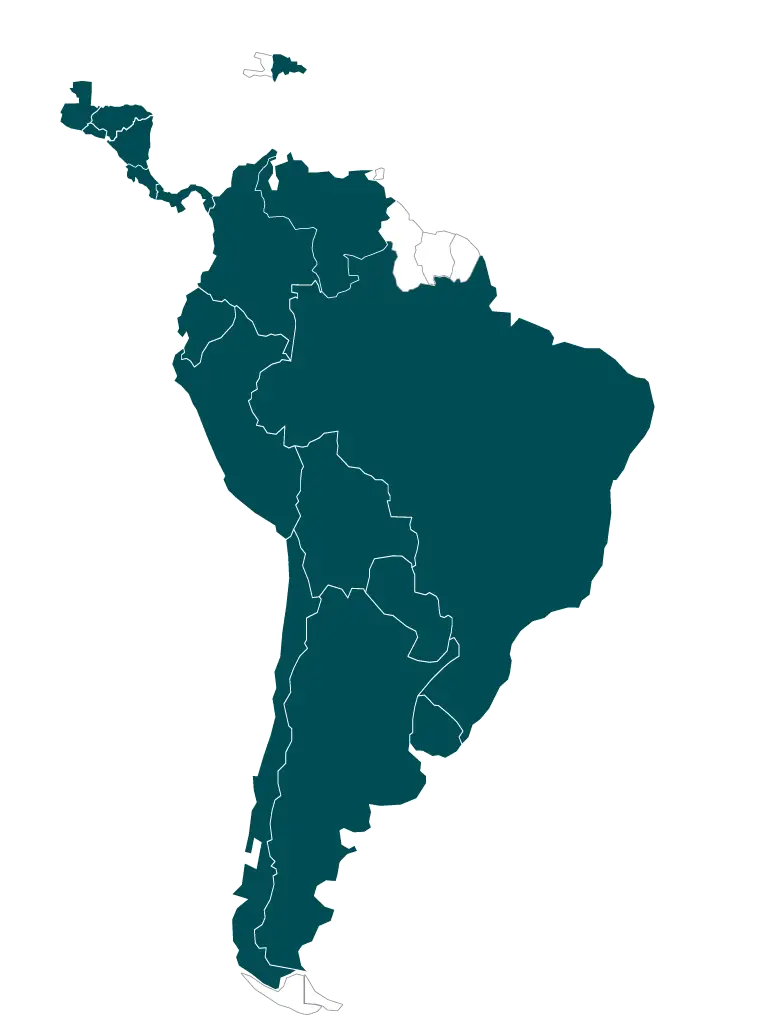
Map of South America Illustration -
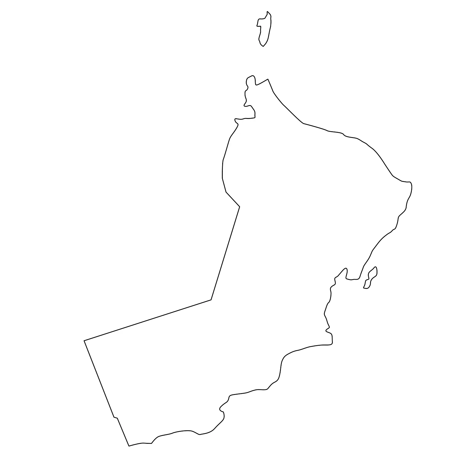
Outline Map of Oman -

Simple Location Pin Icon -
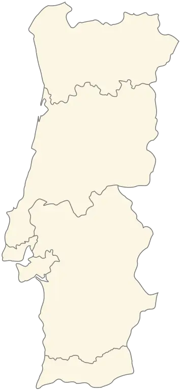
Outline Map of Portugal -
Territorial Map Outline Design -
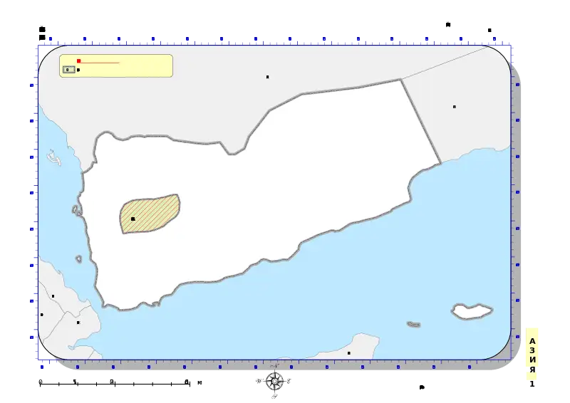
Map of Yemen with Border and Ocean Features -

Outline Map of Iran -

Map Location Icon Symbol -
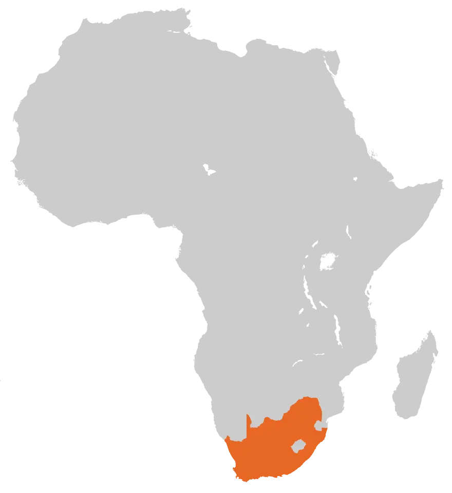
Map of Africa Highlighting South Africa -
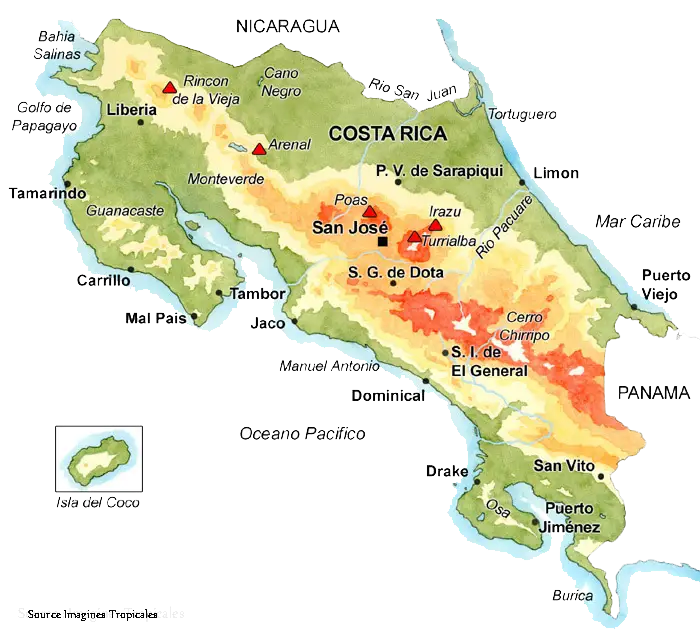
Map of Costa Rica -
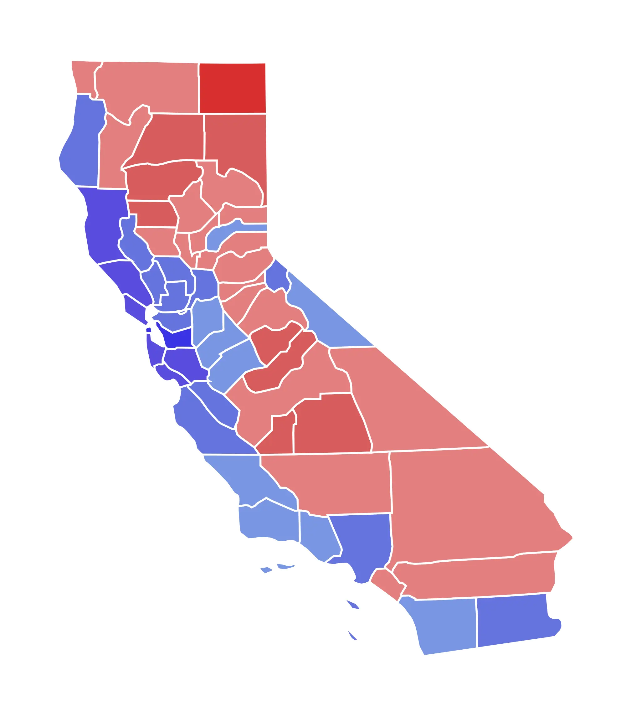
California Map Depicting Election Results -

Colorful Map with Location Pins -

China Map with Gaming Console -
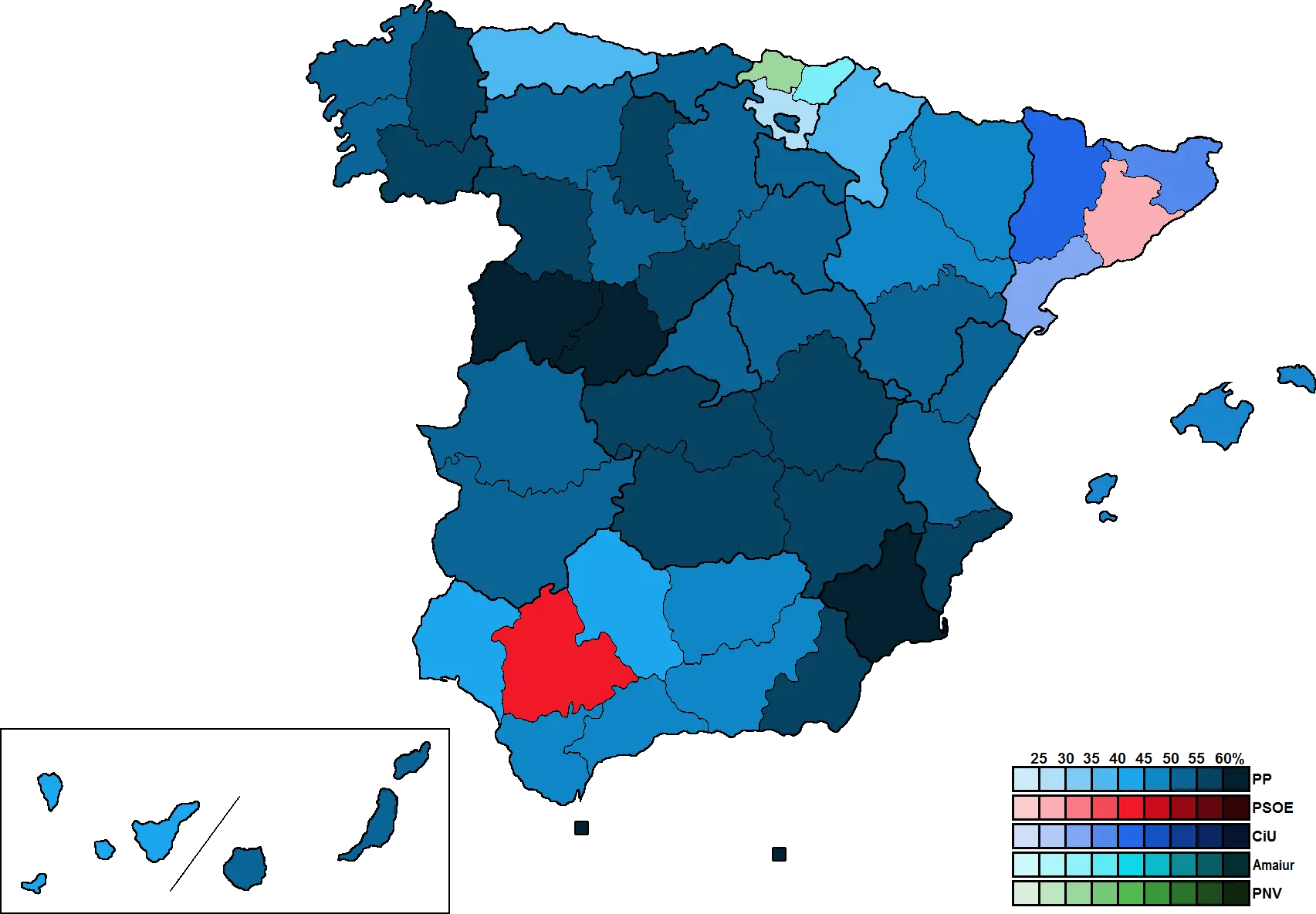
Map of Spanish Regions with Data Representation -

Folded Map with Compass for Navigation -

Simple Location Pin Symbol -

Map of Moldova with European Union Stars -

Black Silhouette Map of Switzerland -

Compass and map for navigation -

Color-Coded Map Featuring Regional Divisions -

Travel Essentials with Map and Luggage -
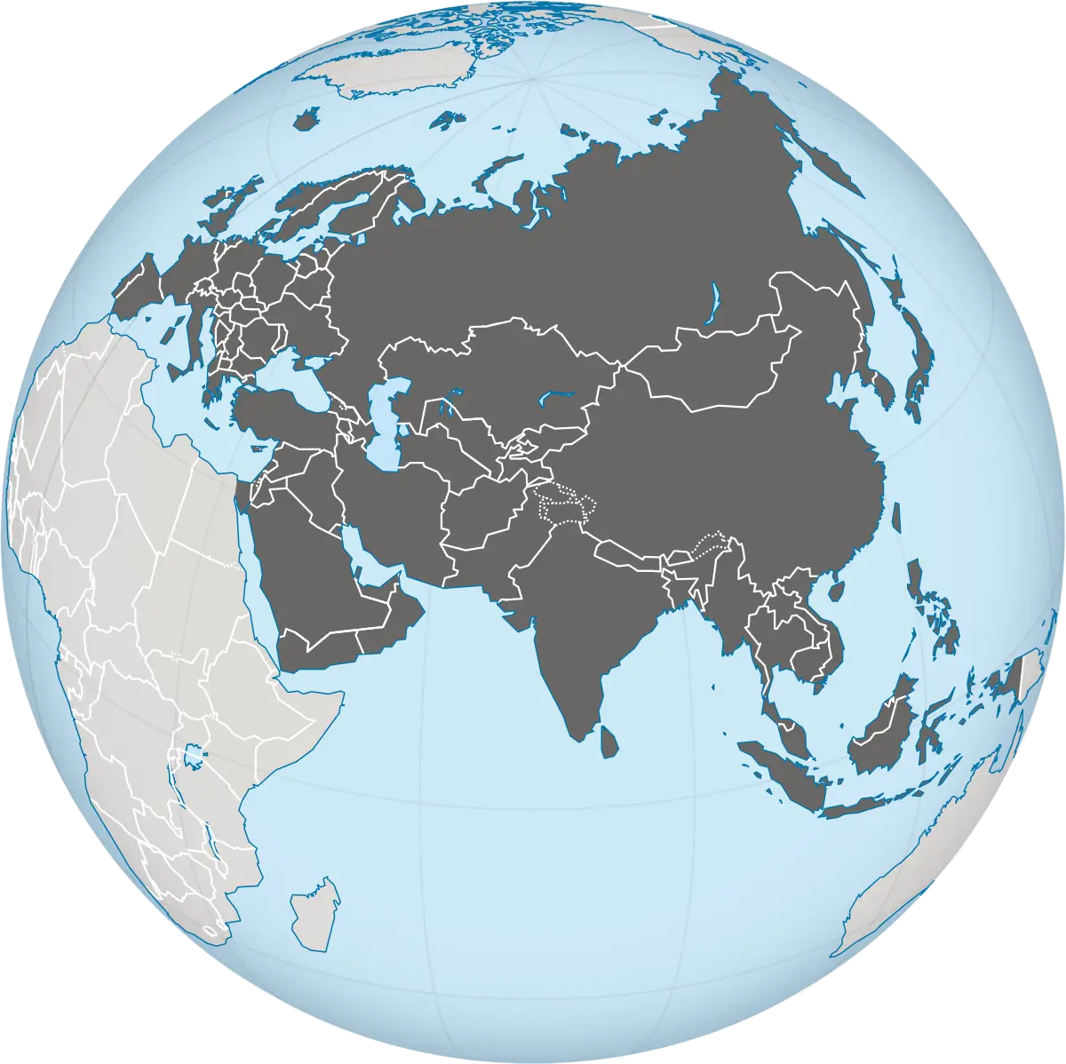
Asia-Centered Globe Representation -
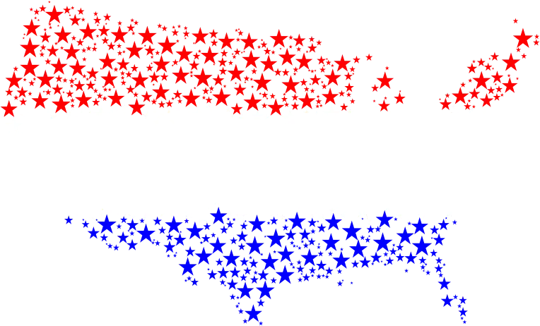
USA Map Composed of Red and Blue Stars -
Blue Map of an Outline Region -
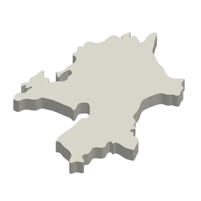
3D Map Shape of a Territory -
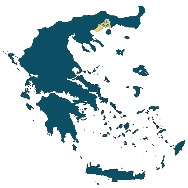
Detailed Map of Greece