Free Geography Cliparts and Illustrations - Page 7
Free 467 geography cliparts & illustrations for your personalized works, such as map highlighting honduras region, map of china with regions, outlined map of australia, geographic map of the united states and many more.
-
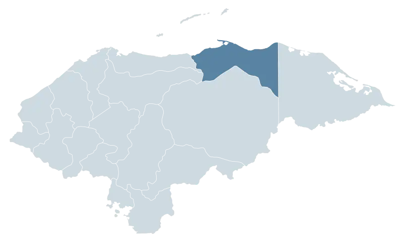
Map Highlighting Honduras Region -
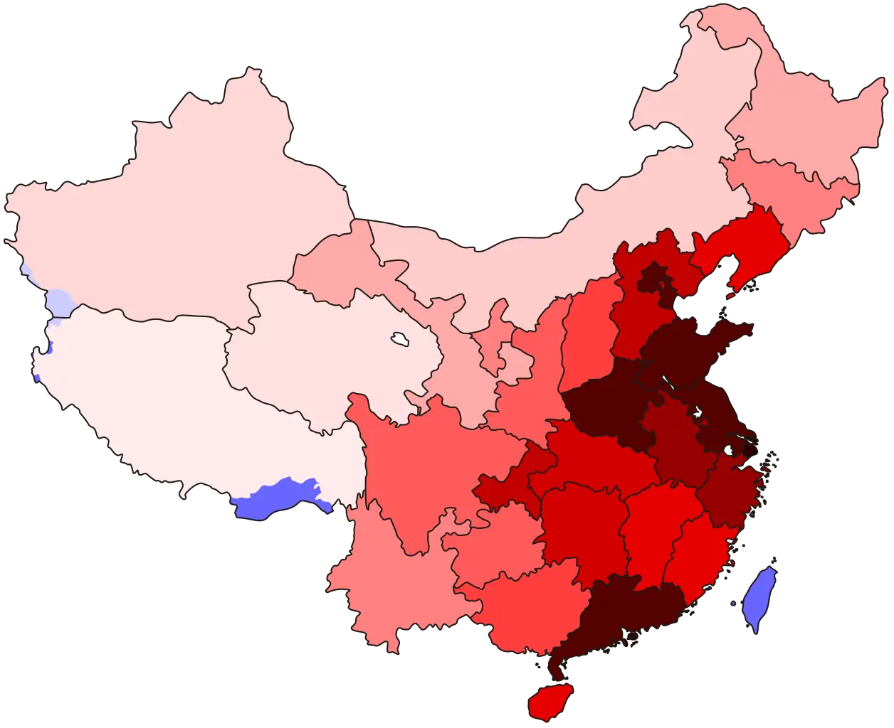
Map of China with Regions -

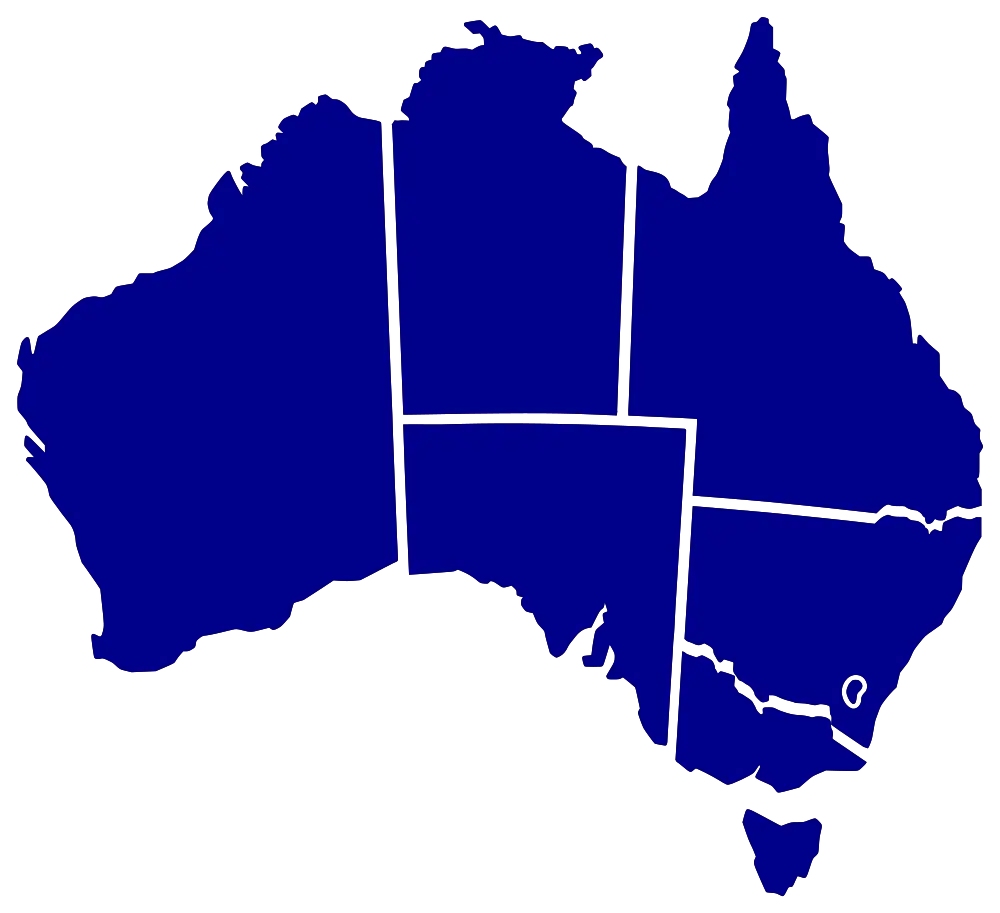
Outlined Map of Australia -
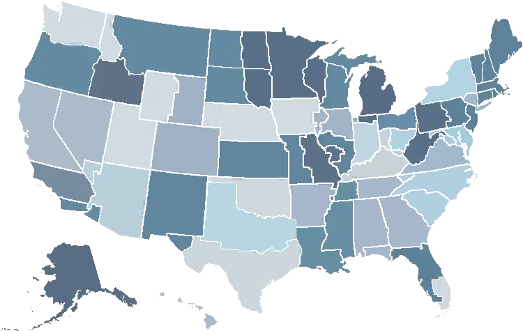
Geographic Map of the United States -
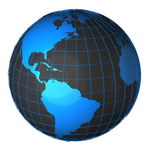
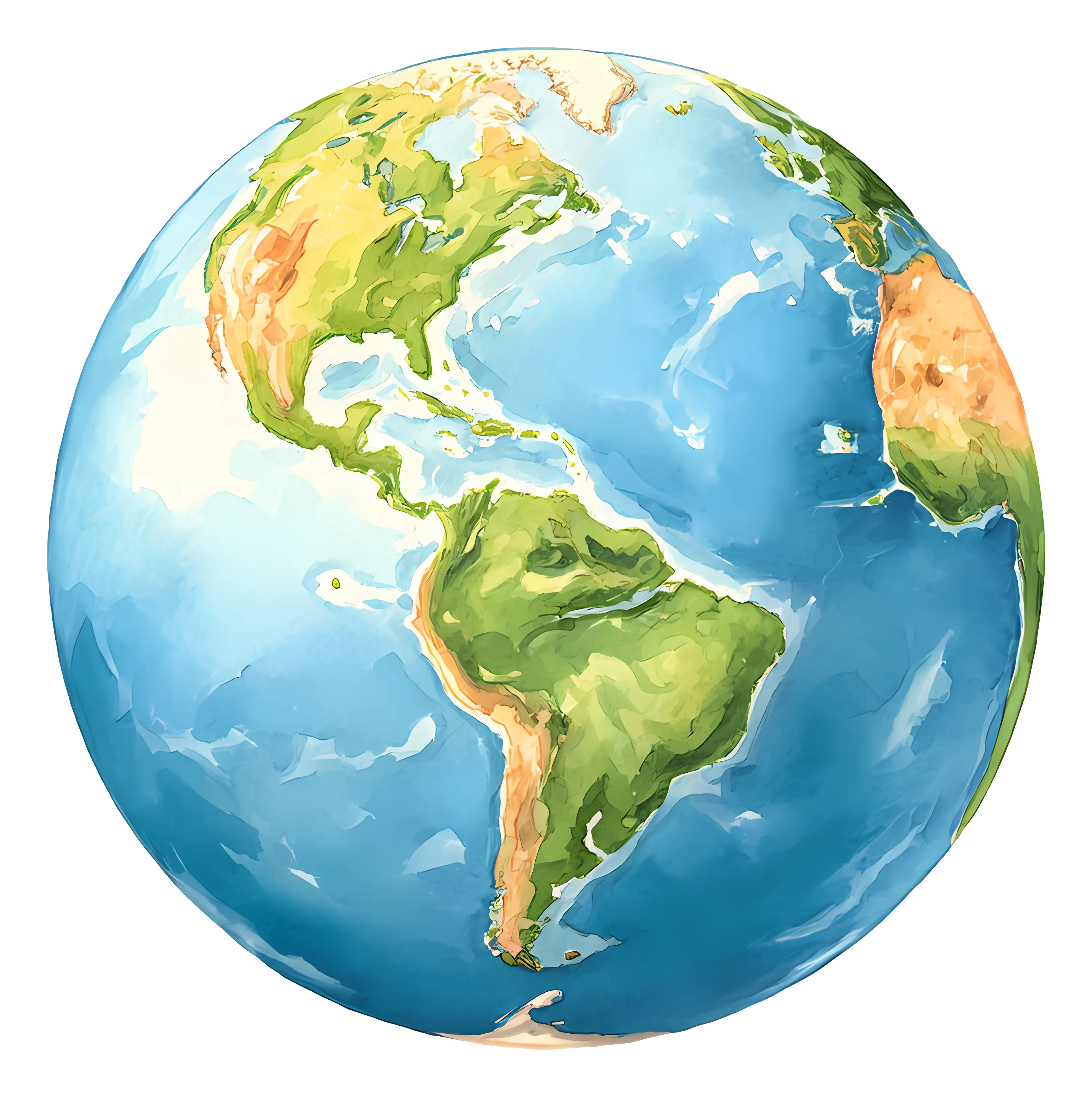
3D Blue Globe Highlighting Americas -
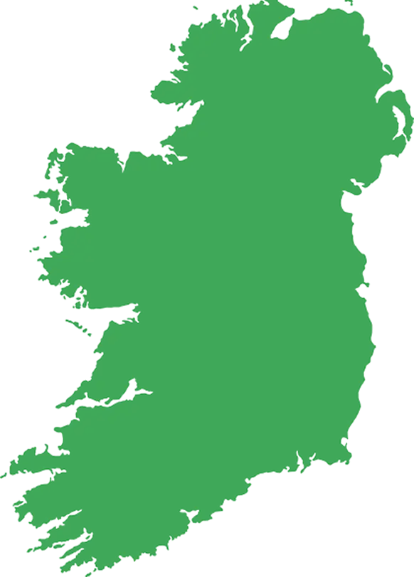
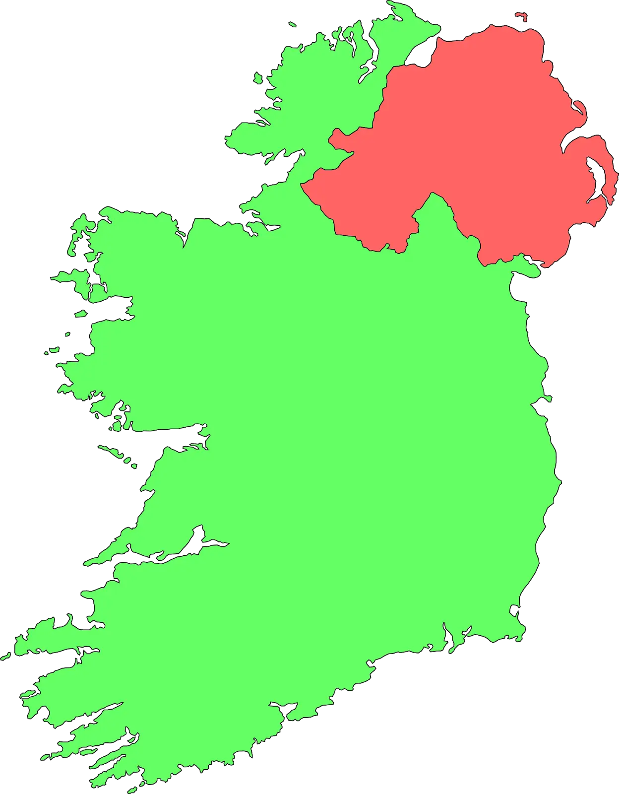
Green Map of Ireland for Geography Use -

World Map with Lines -
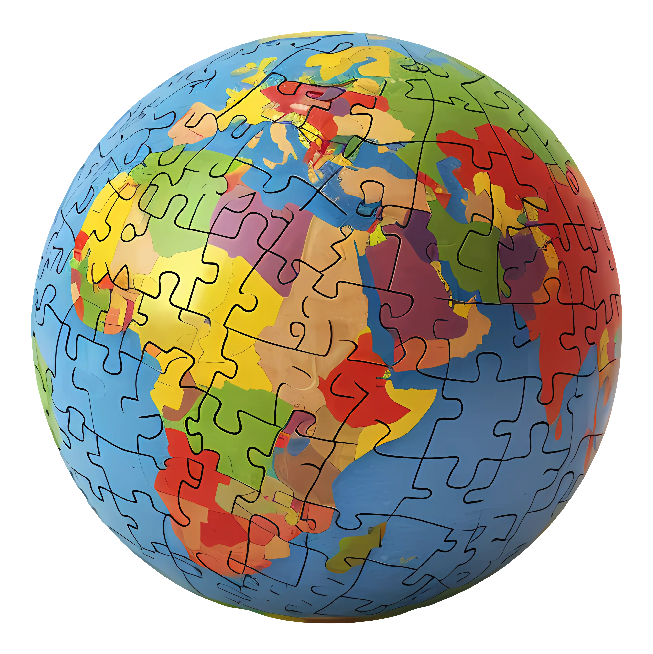
Bright Colored Globe Puzzle of the World -

Quebec Province Map -
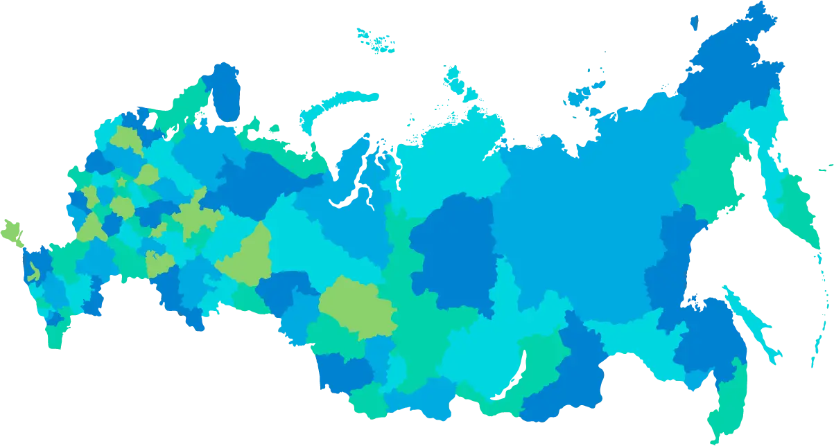
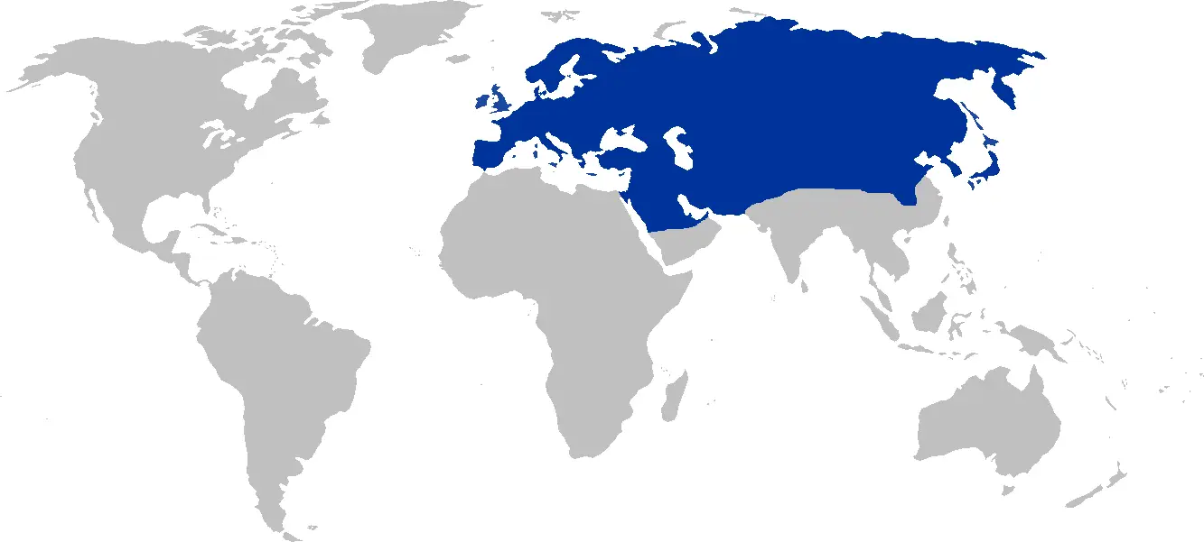
Colored Geographical Map of Russia -
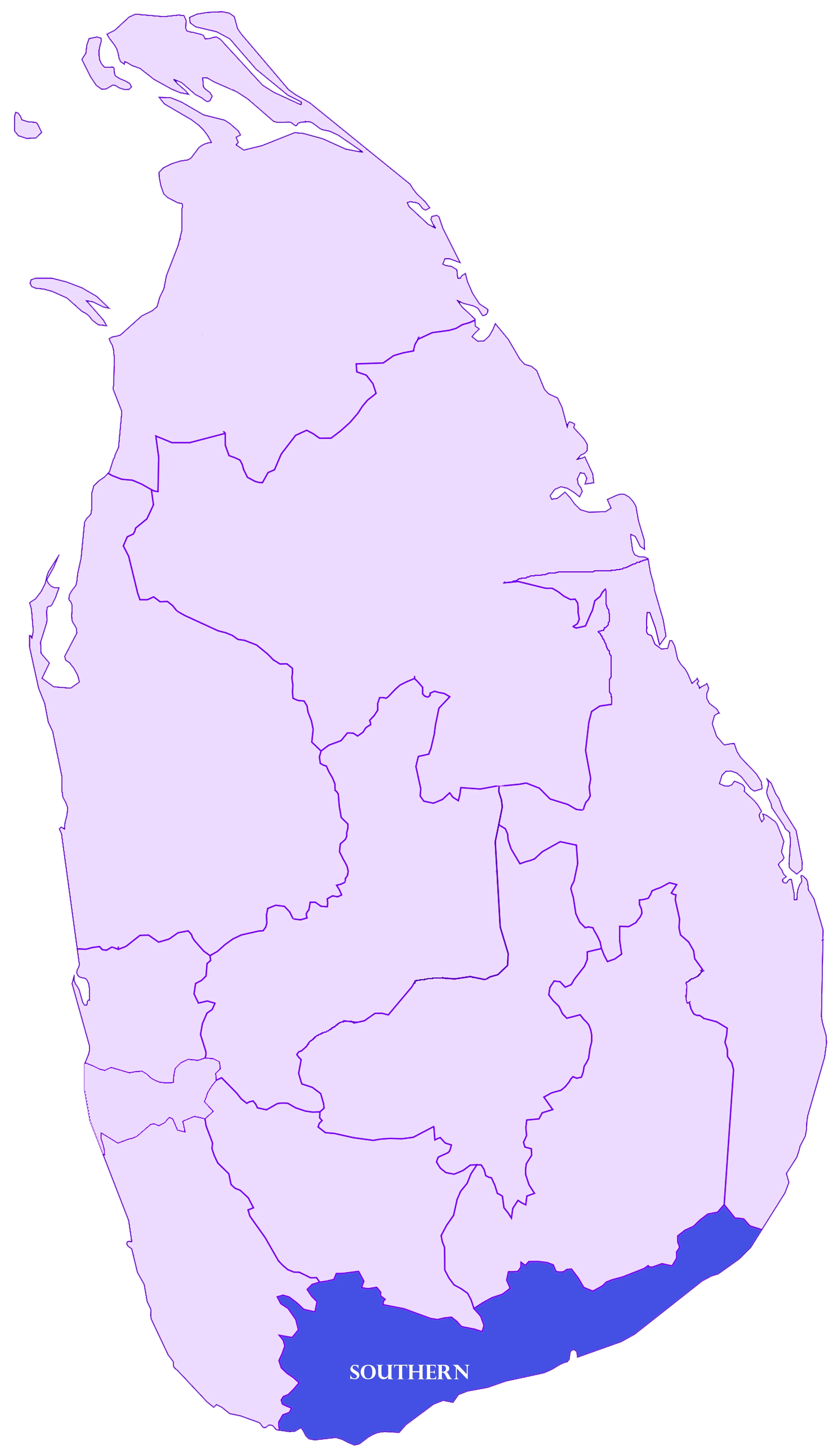
Map Highlighting Southern Province of Sri Lanka -
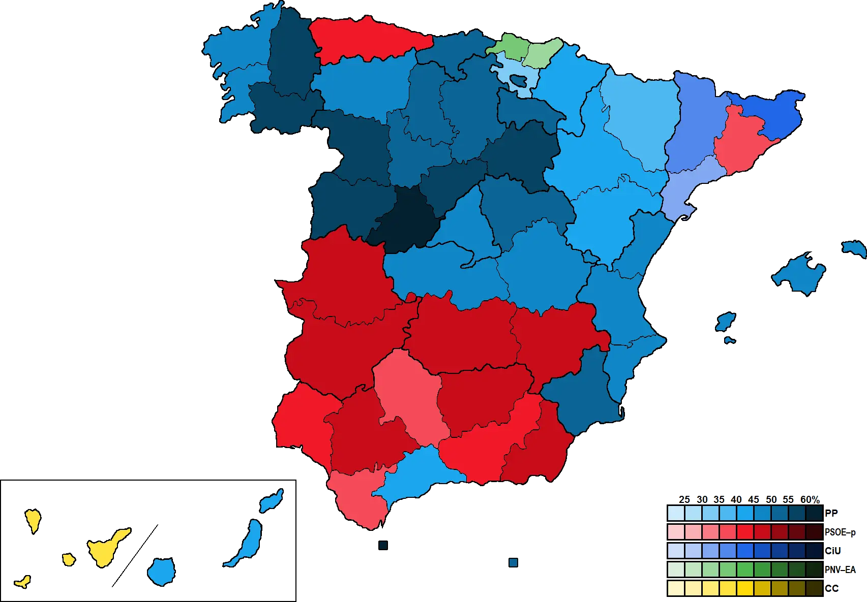
Color-Coded Map of Spain Regions -
Blue World Map Representation -
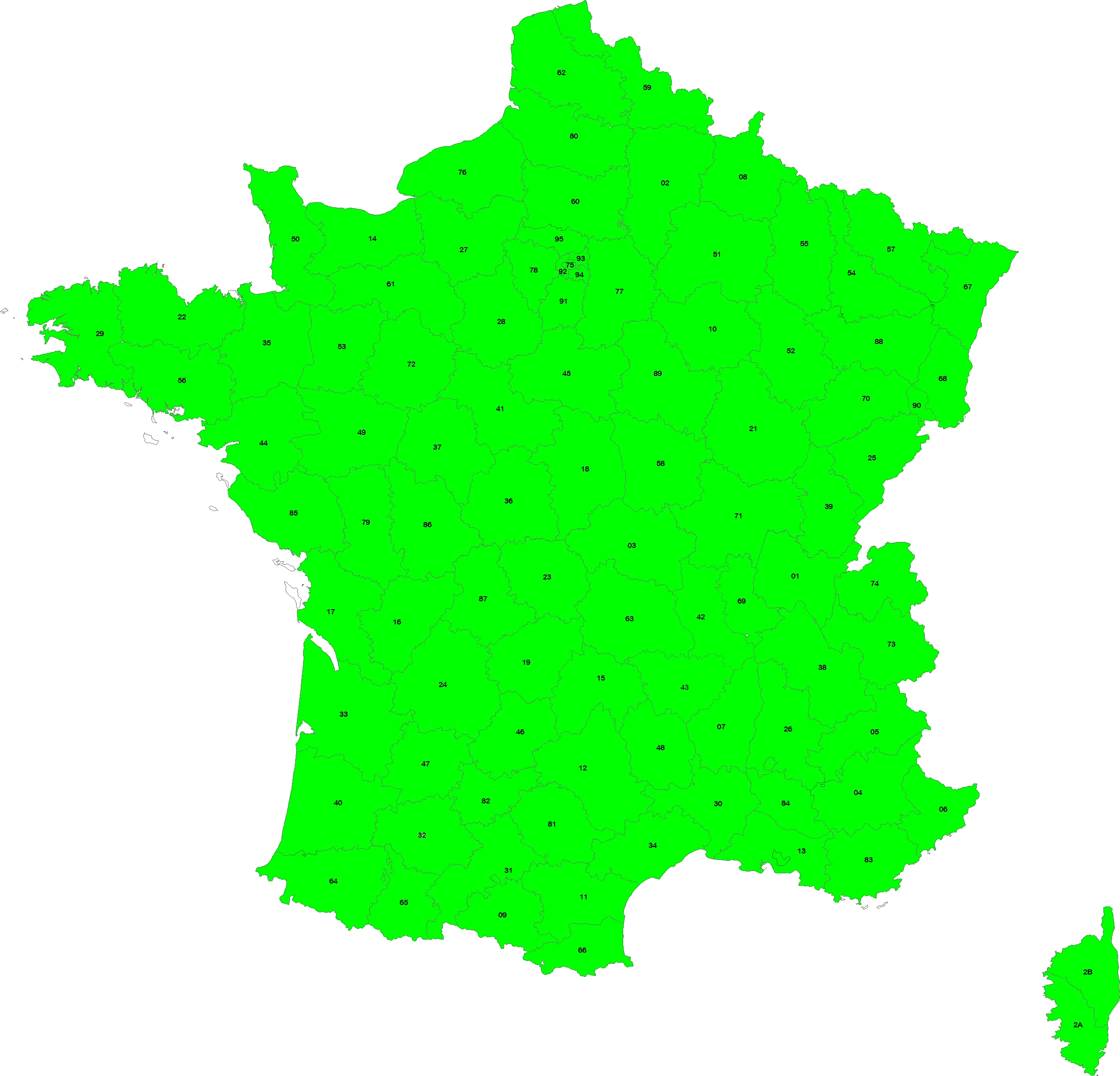
Green Map of France -
Eurasia Region World Map -

Outline Map of Scotland -
3D Earth Globe -
Color-Coded Map of Ireland -

Green Regional Map -
Outline Map of Rajasthan -

Black Country Outline Map Illustration -
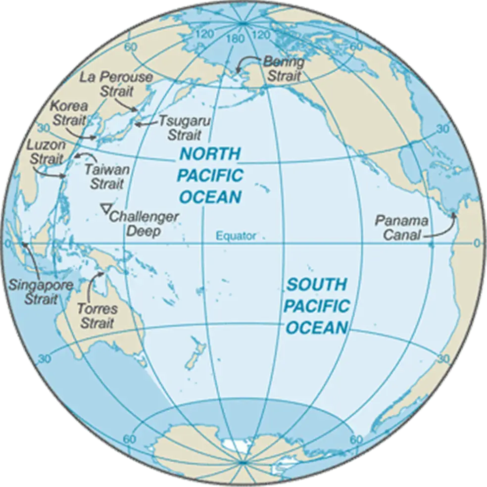
Detailed Pacific Ocean Map -
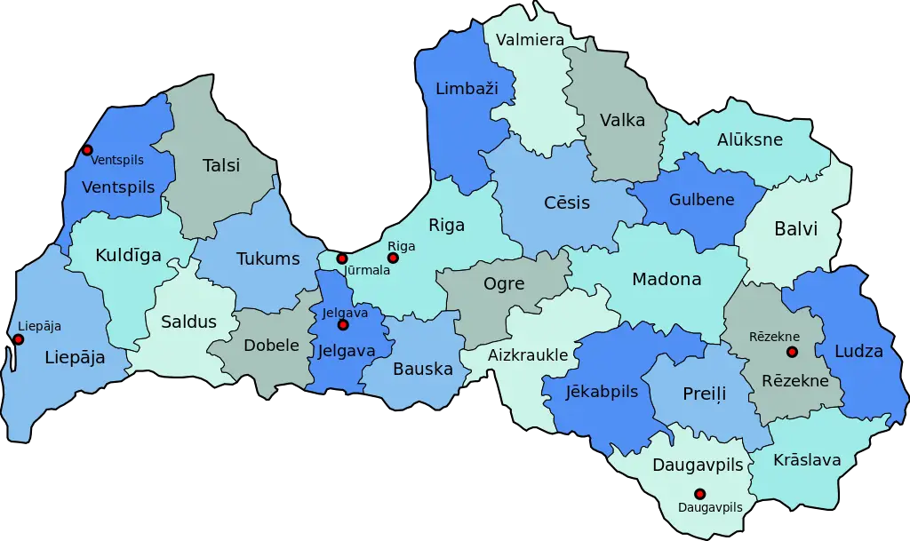
Map of Latvia -
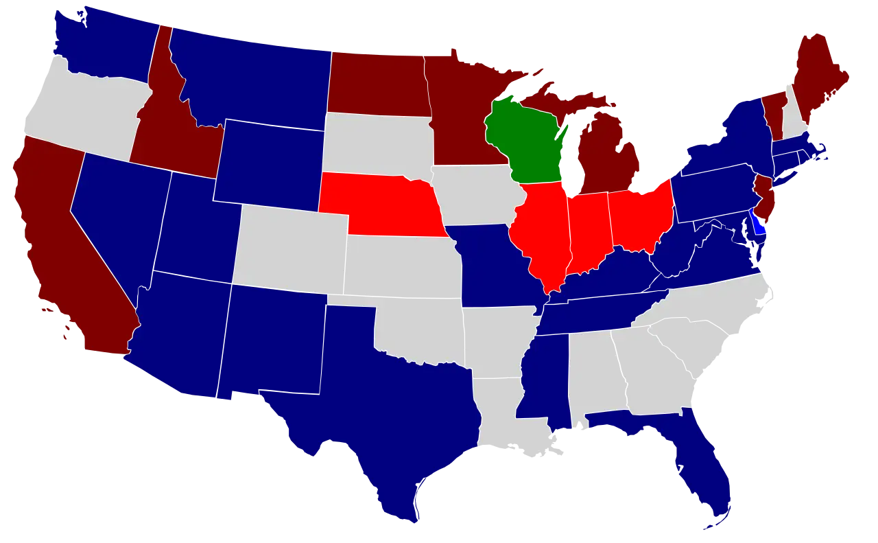
Color-Coded Map of the USA States -
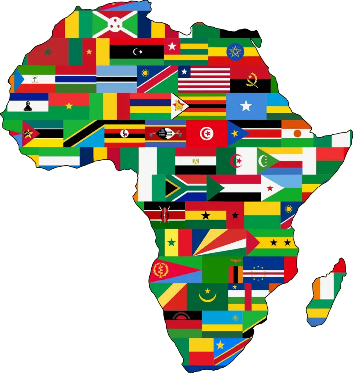
Africa Map with National Flags -
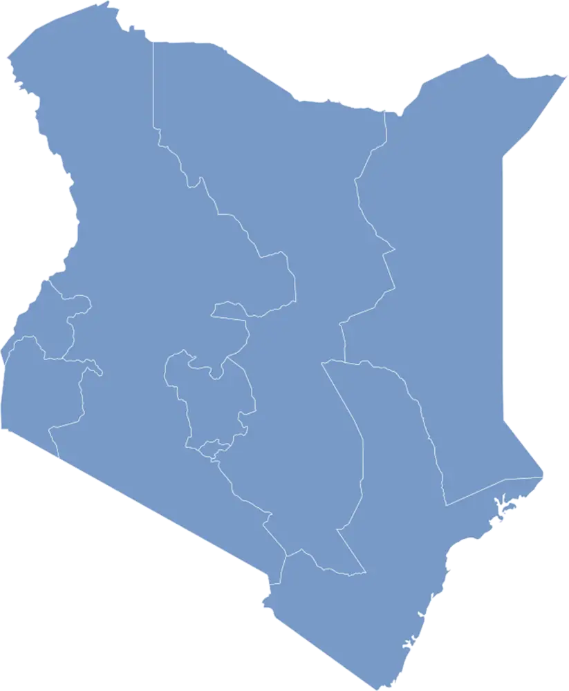
Kenya Map Outline -
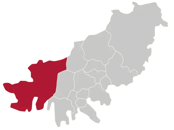
Province Map with Highlighted Section -
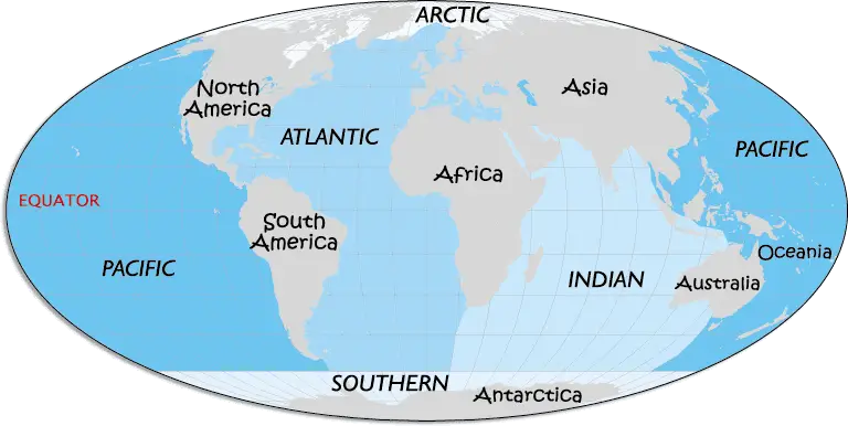
World Map with Continents and Oceans -
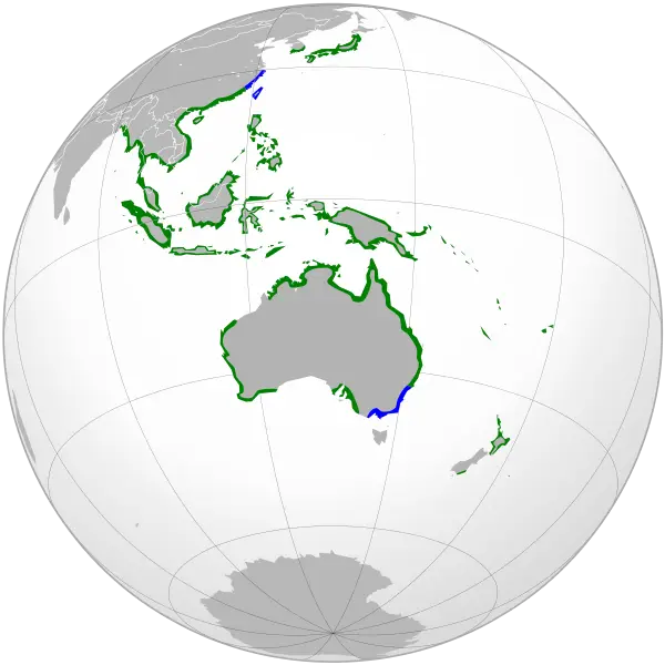
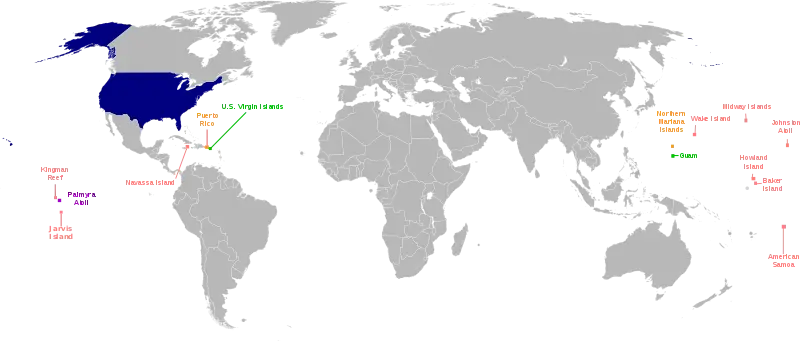
World Map with Highlighted Regions -
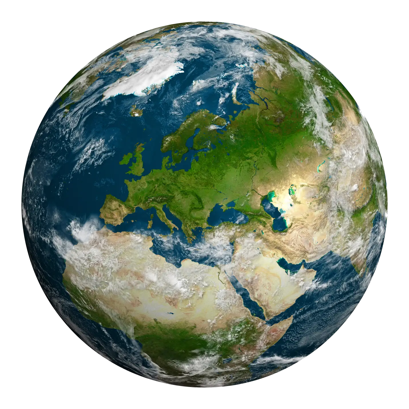
Geographic Representation of Planet Earth in Realistic Style -
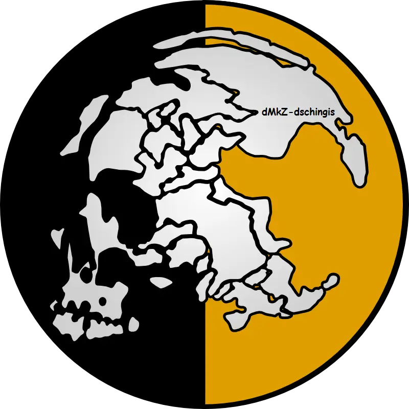
Skull Globe Illustration -
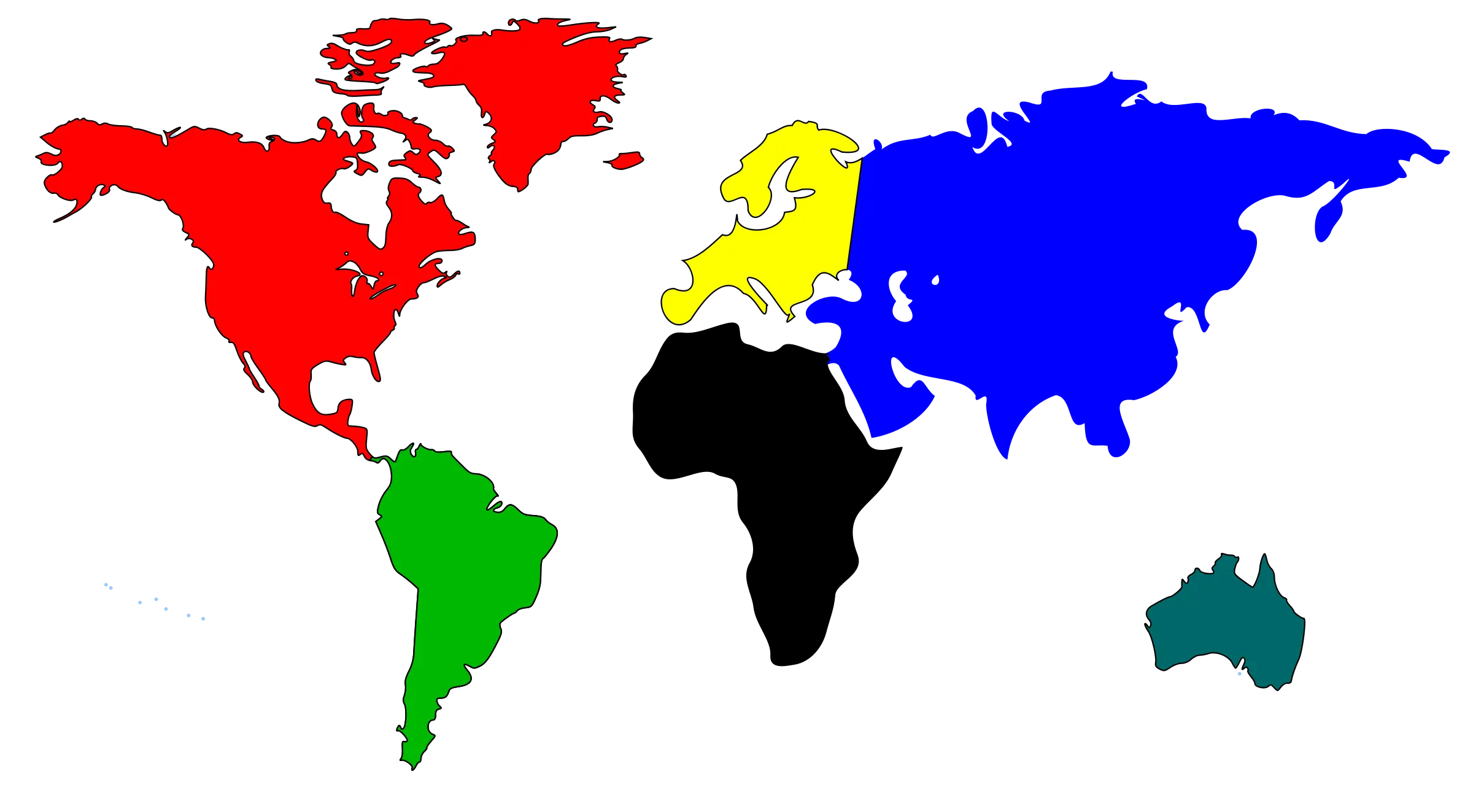
Colorful World Map with Continents -

World Map Silhouette Design on Transparent Background -

Outline of World Map for Geography -

Silhouette Map of Japan -
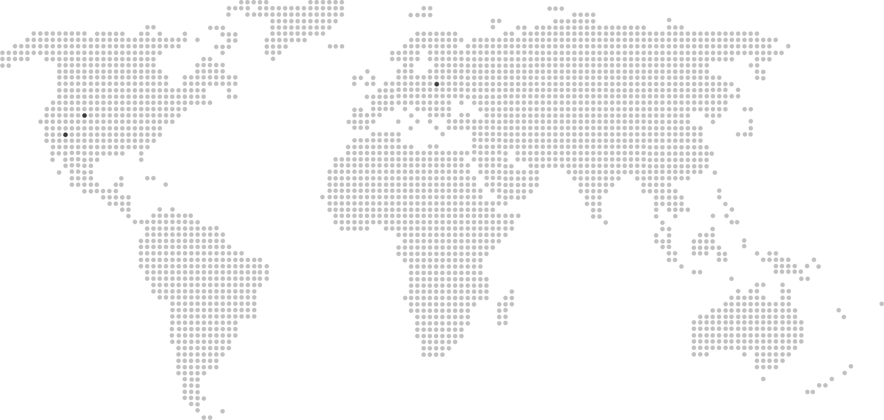
Pixelated World Map Illustration -
Blue Map of Australia -
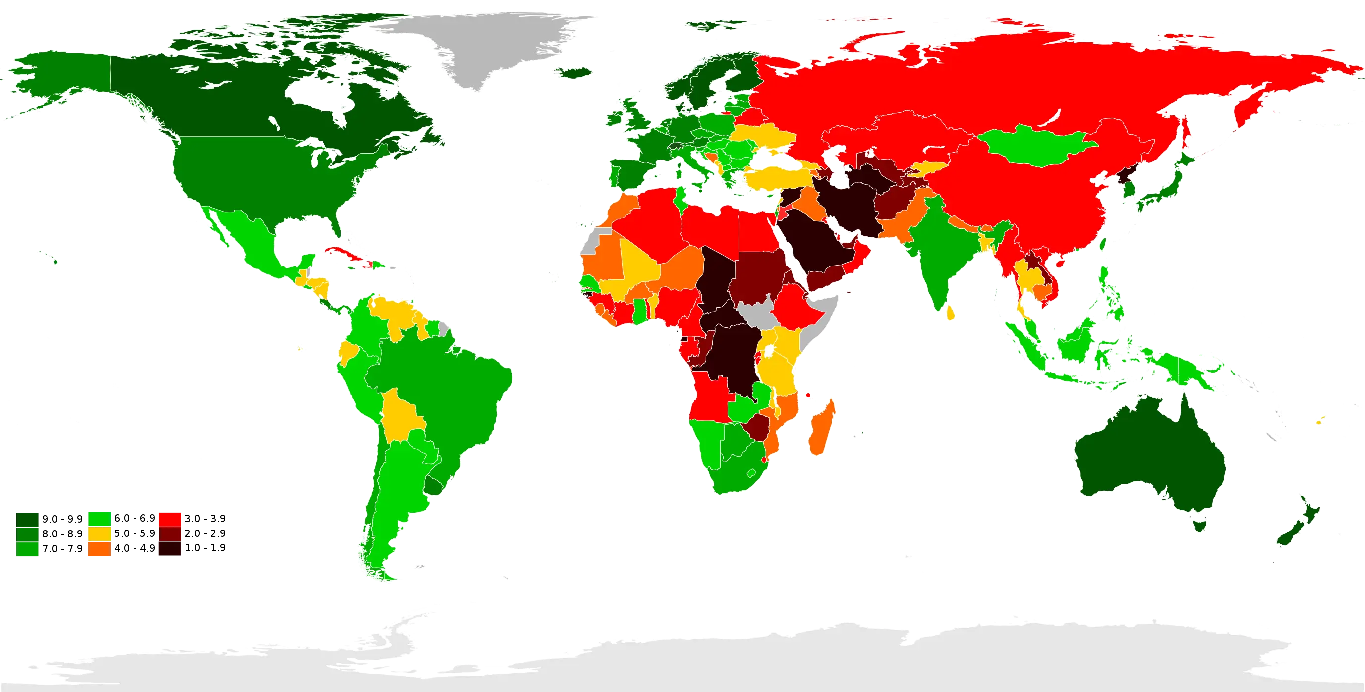
Color-Coded World Map -
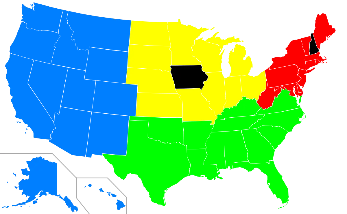
Color-Coded Regional Map of the USA -
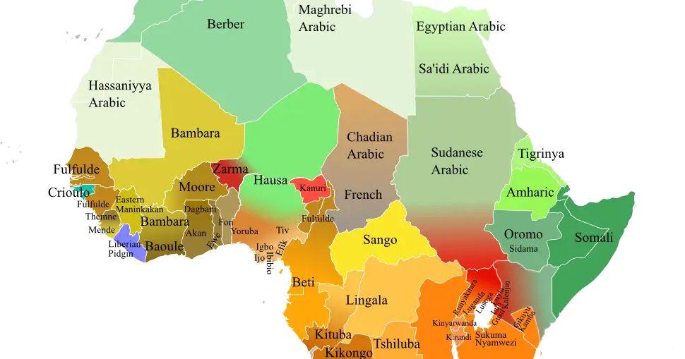
Language Distribution Map of Africa -
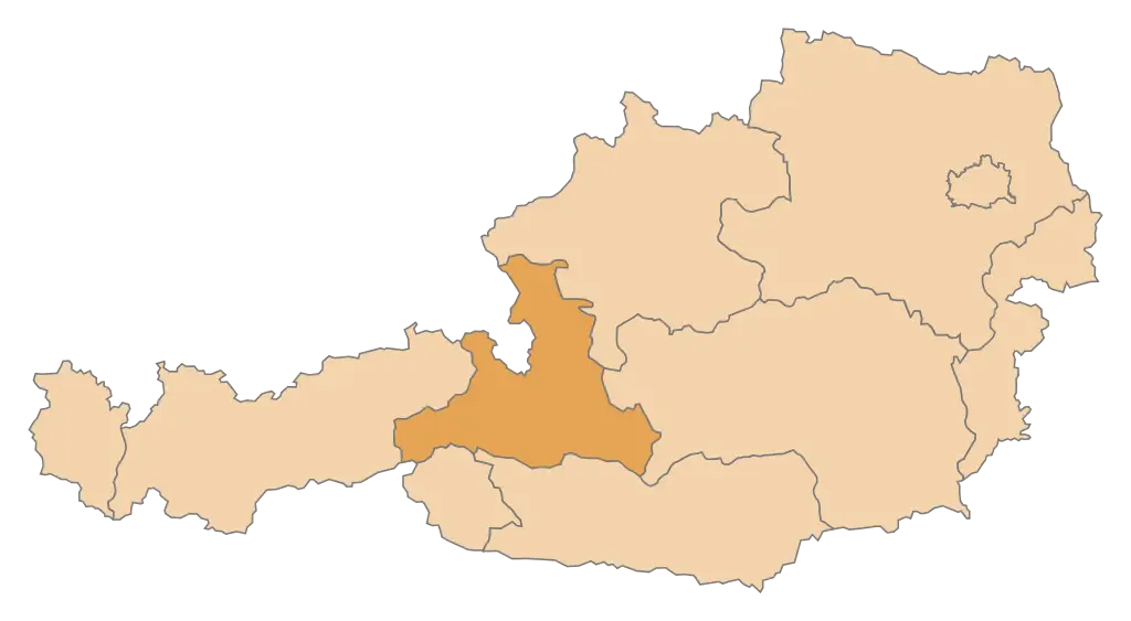
Map of Austria with Highlighted Region -

Central America Map Outline -
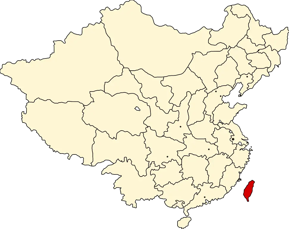
China Map Highlighting Taiwan in Red -
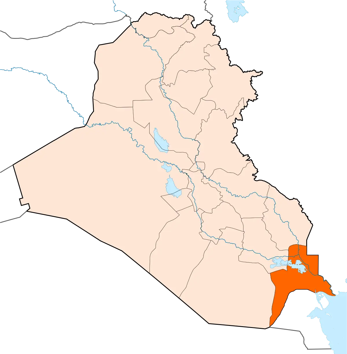
Map Highlighting Basra Region in Iraq -
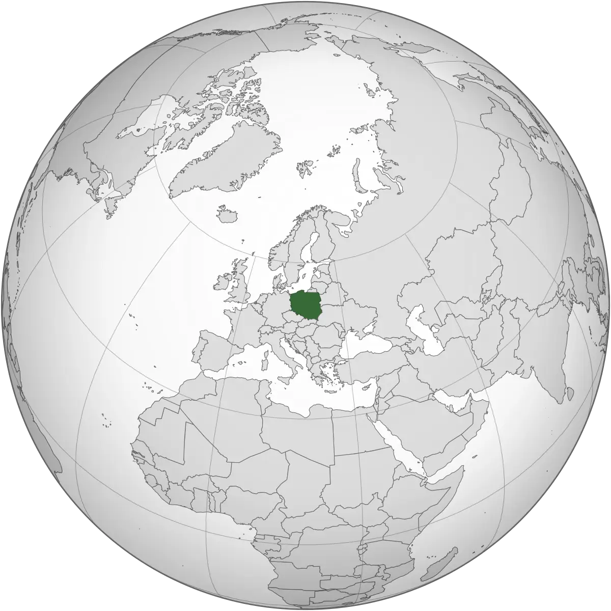
World Map with Poland Highlighted in Green -
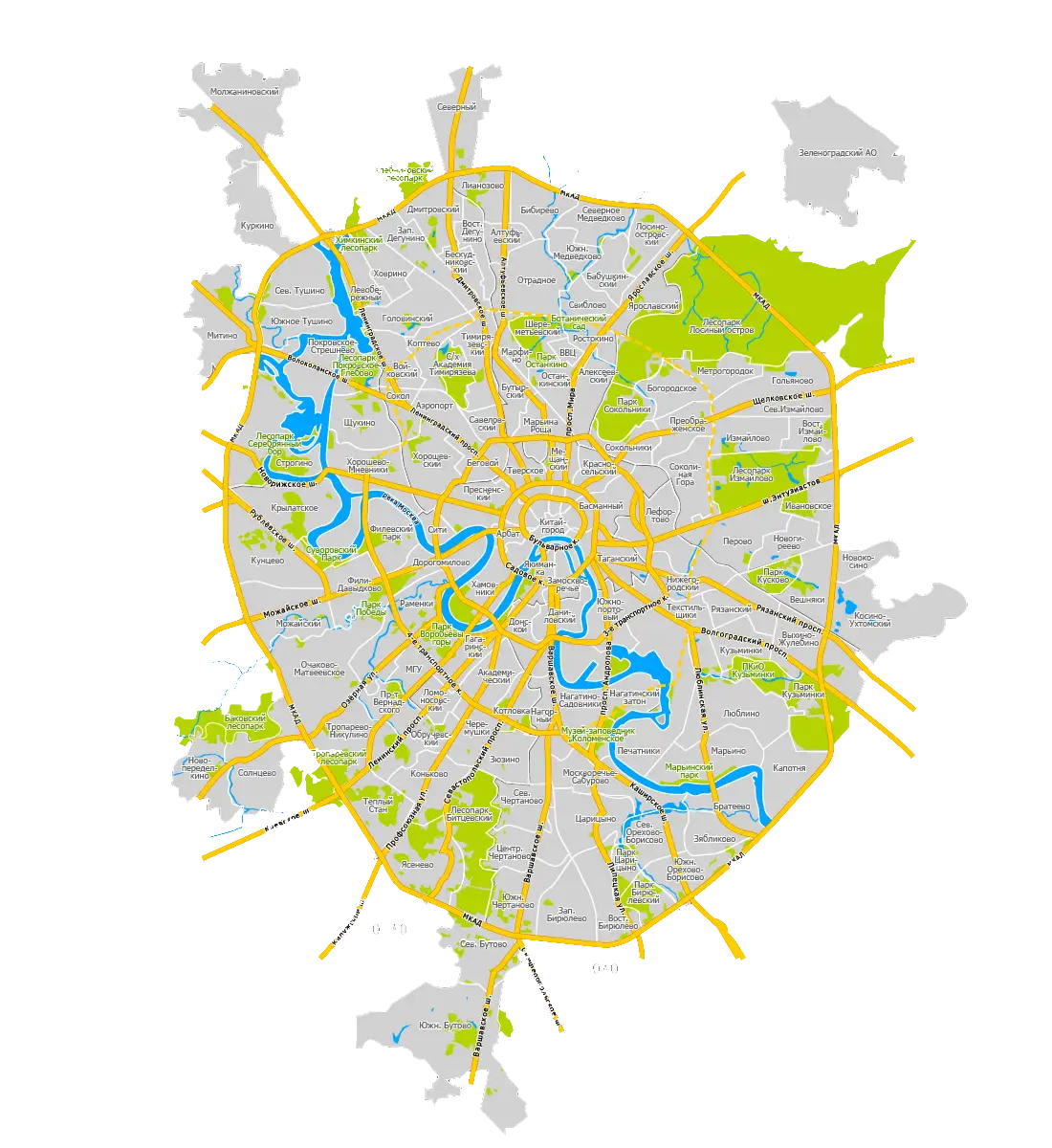
Detailed City Map with Roads and Rivers -
World Map with Highlighted Regions -
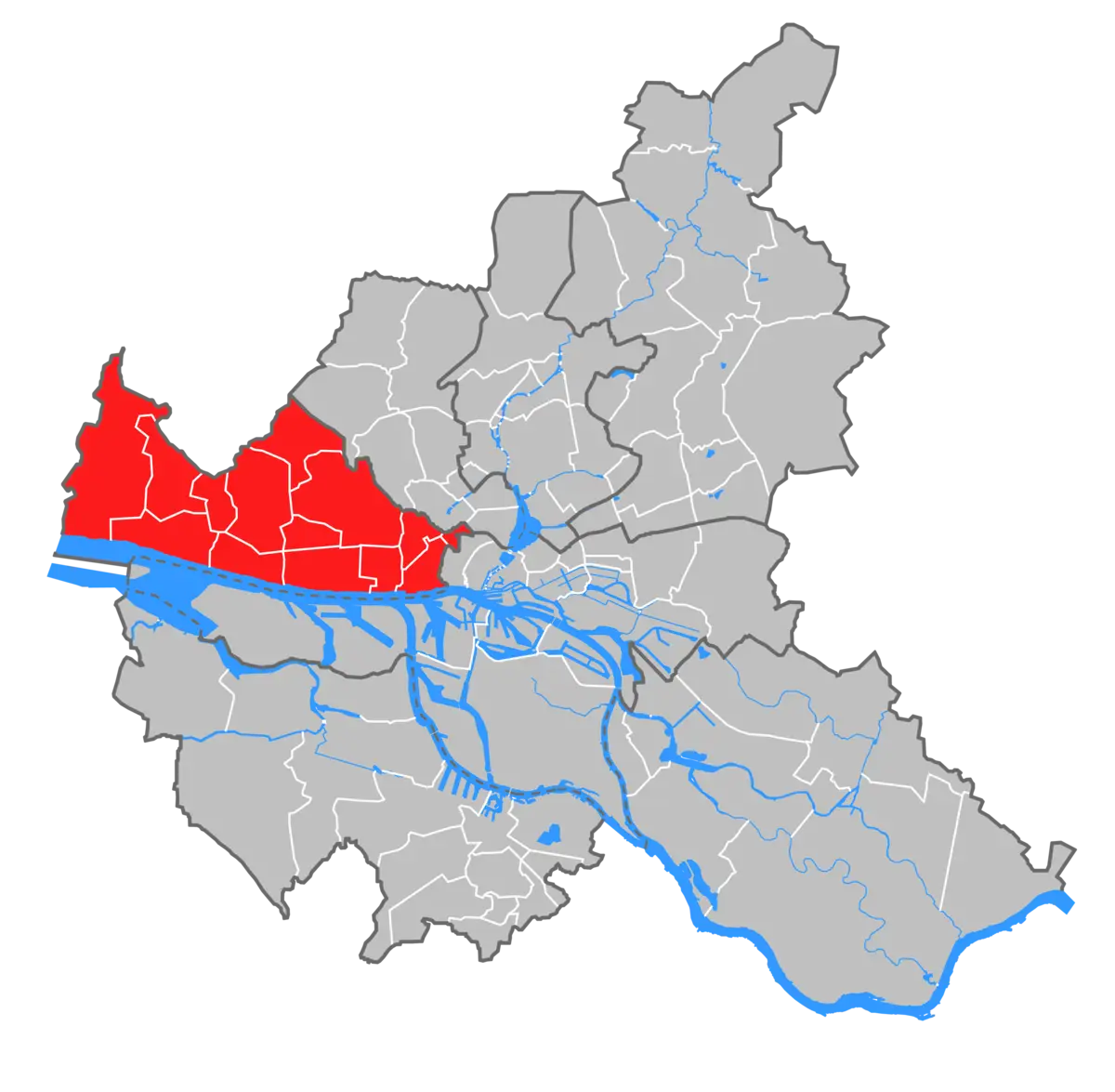
City Map Section with Highlighted Region -
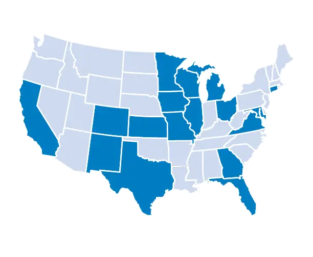
USA Map with Highlighted States for Geographical Reference -
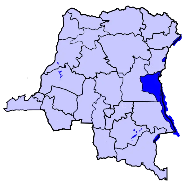
Highlighted Map of Democratic Republic of the Congo