Free Map Cliparts and Illustrations - Page 8
Free 616 map cliparts & illustrations for your personalized works, such as map highlighting specific region, blank map of europe, illustrated map of poland with cities and roads, museum layout map and many more.
-
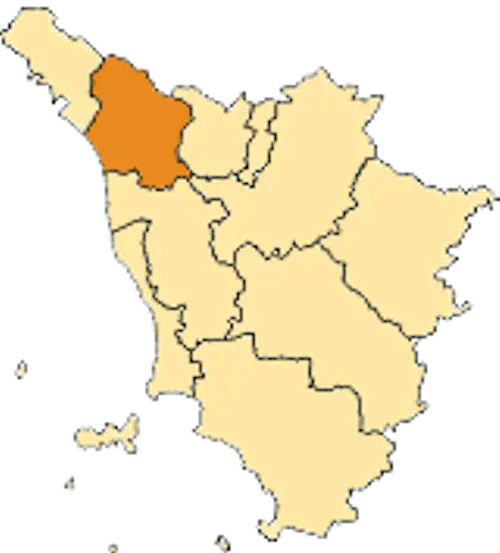
Map Highlighting Specific Region -
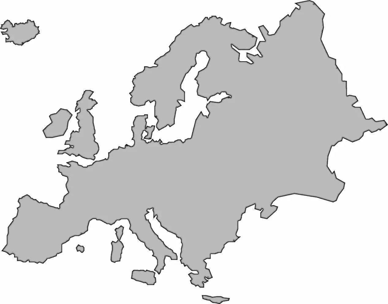
Blank Map of Europe -
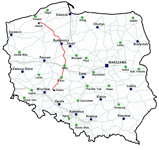
Illustrated Map of Poland with Cities and Roads -
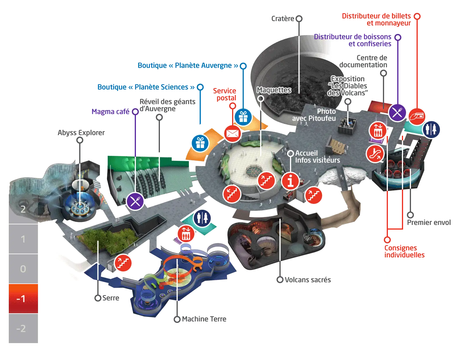
Museum Layout Map -
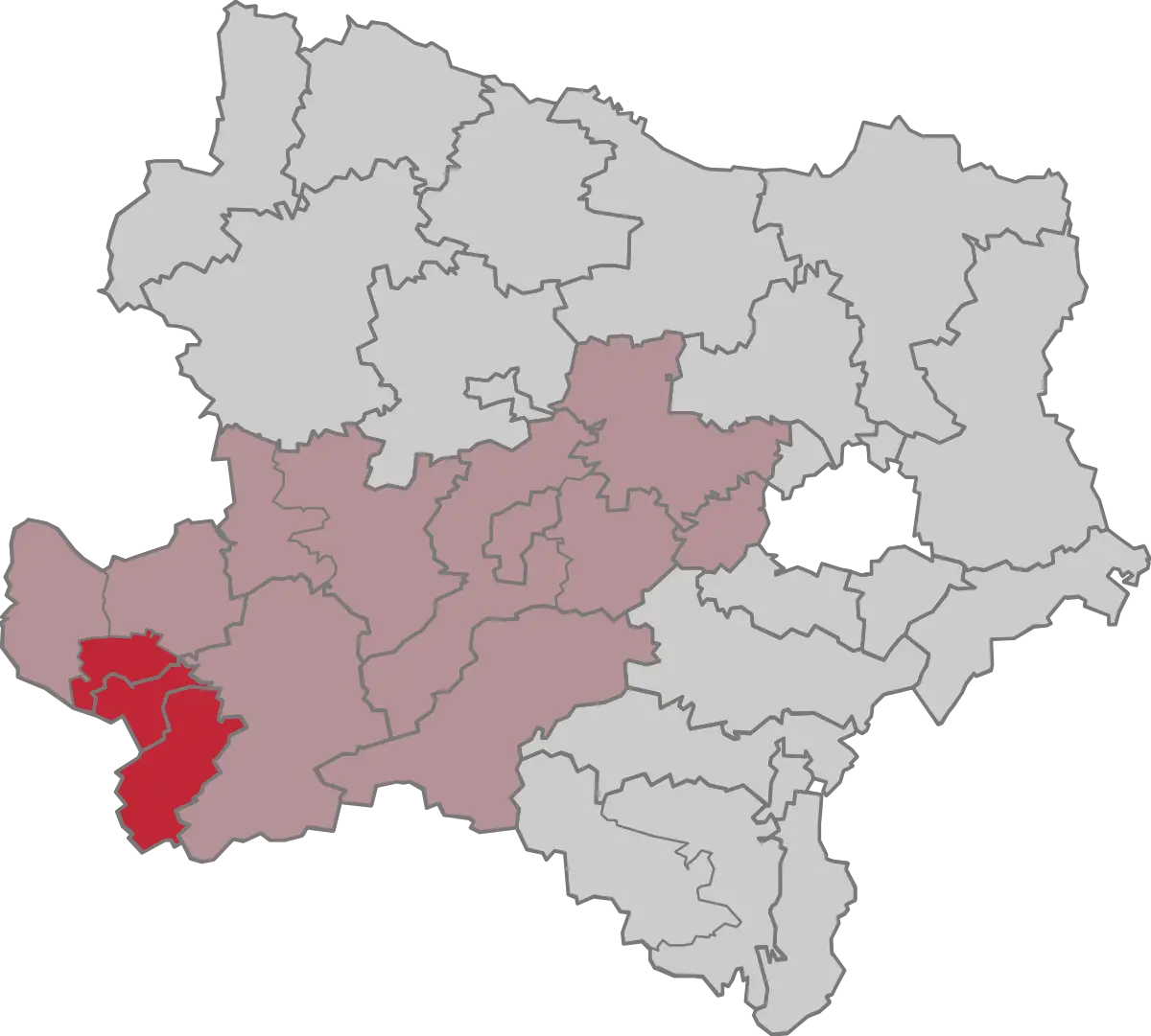
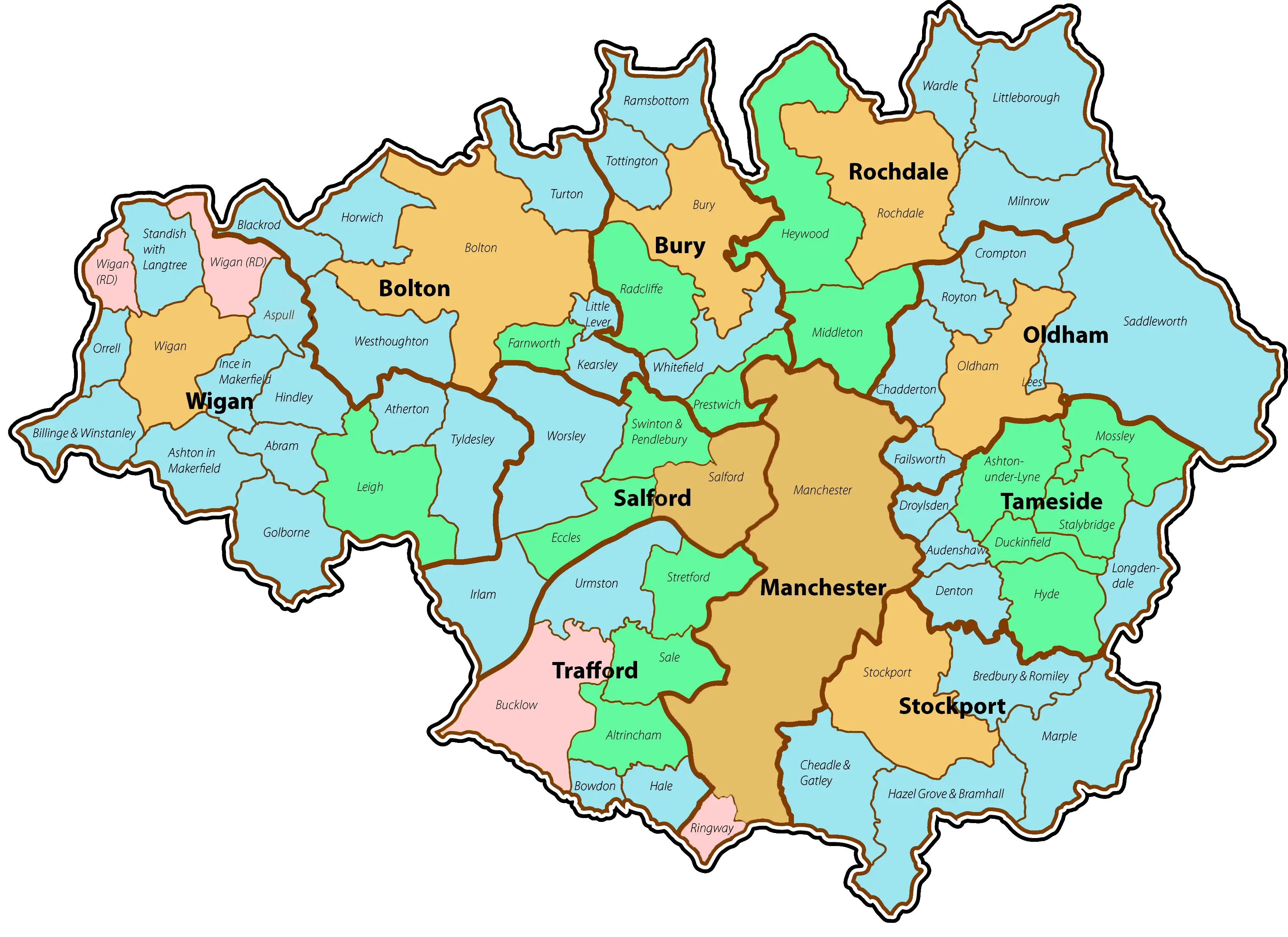
Regional Map with Highlighted Shaded Areas -
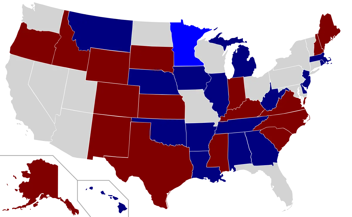
Color-Coded USA Political Map -
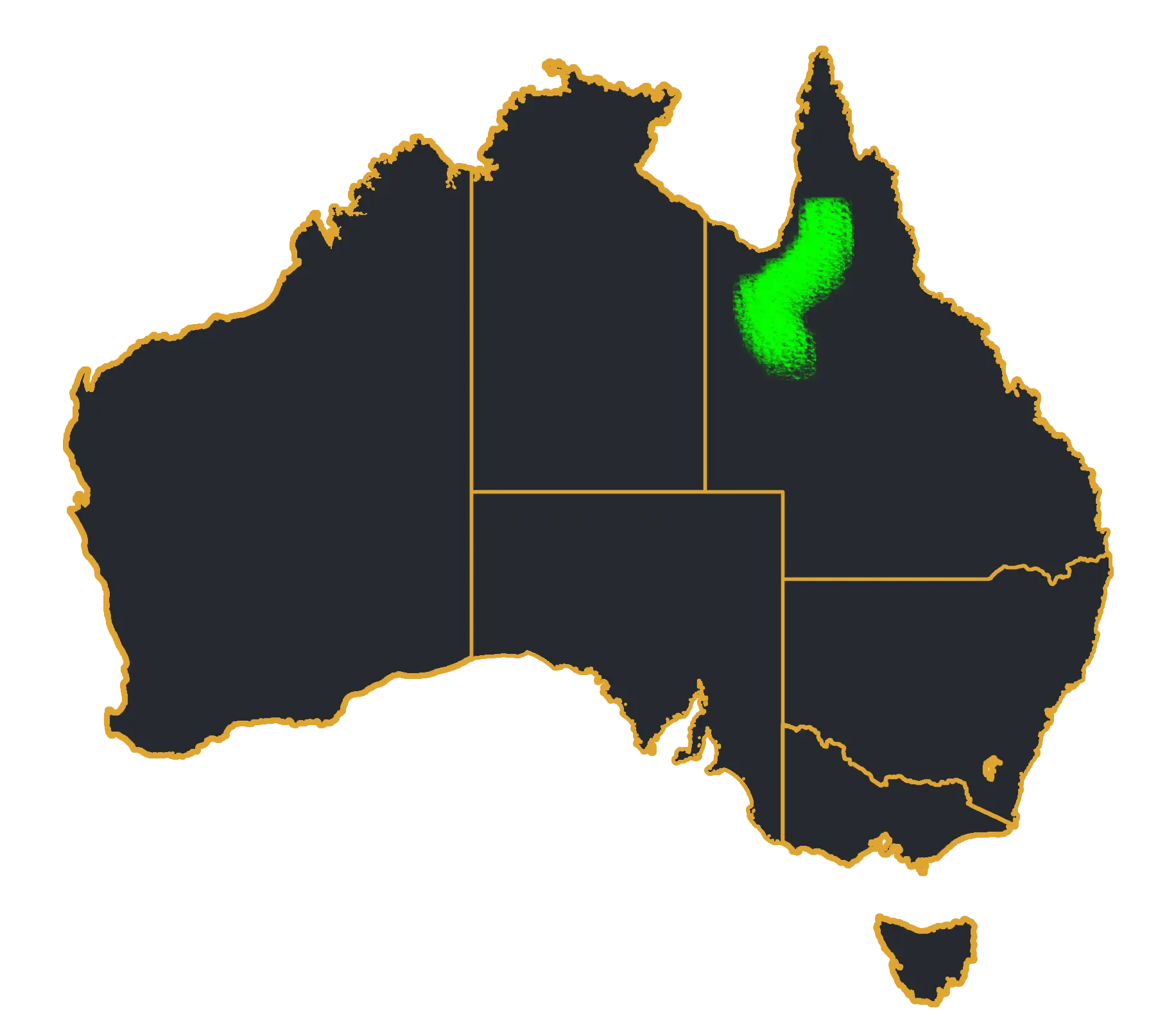
Australia Map with Highlighted Region -
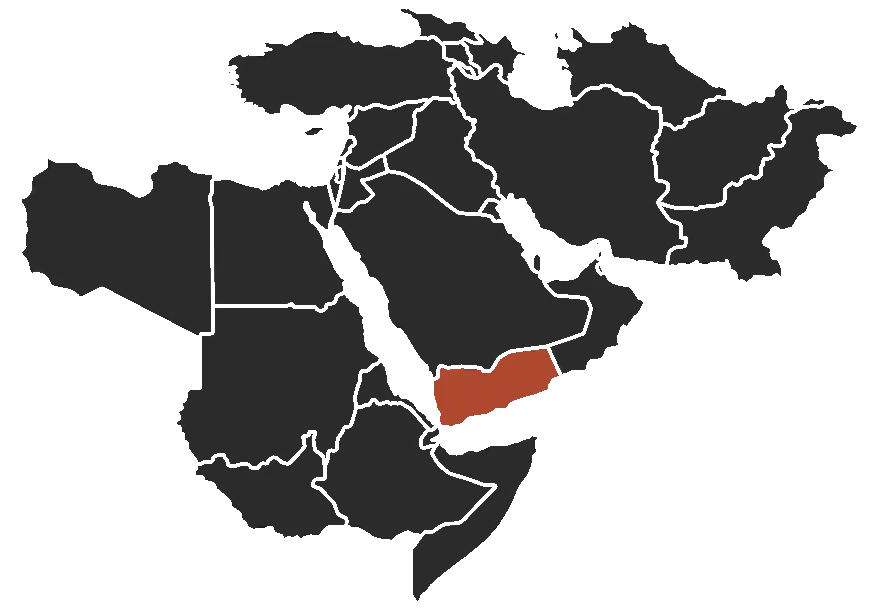
Map of Yemen in the Middle East -
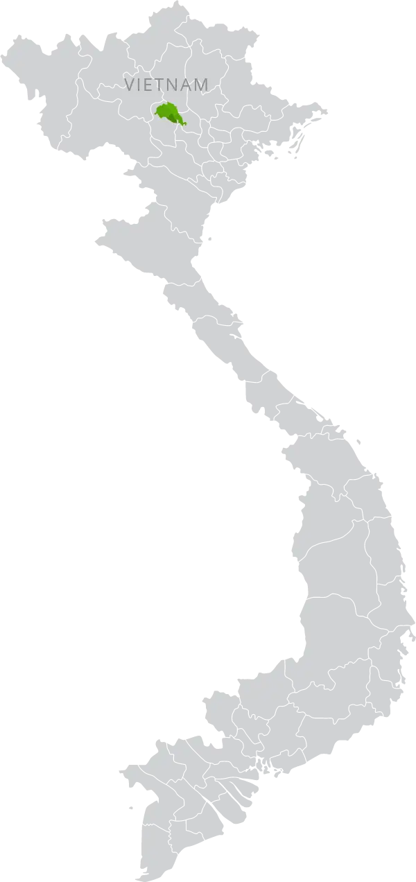
Map of Vietnam -

Scene from Mr. Bean's Holiday -
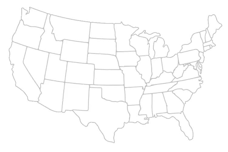
Blank USA Map Outline for Study -
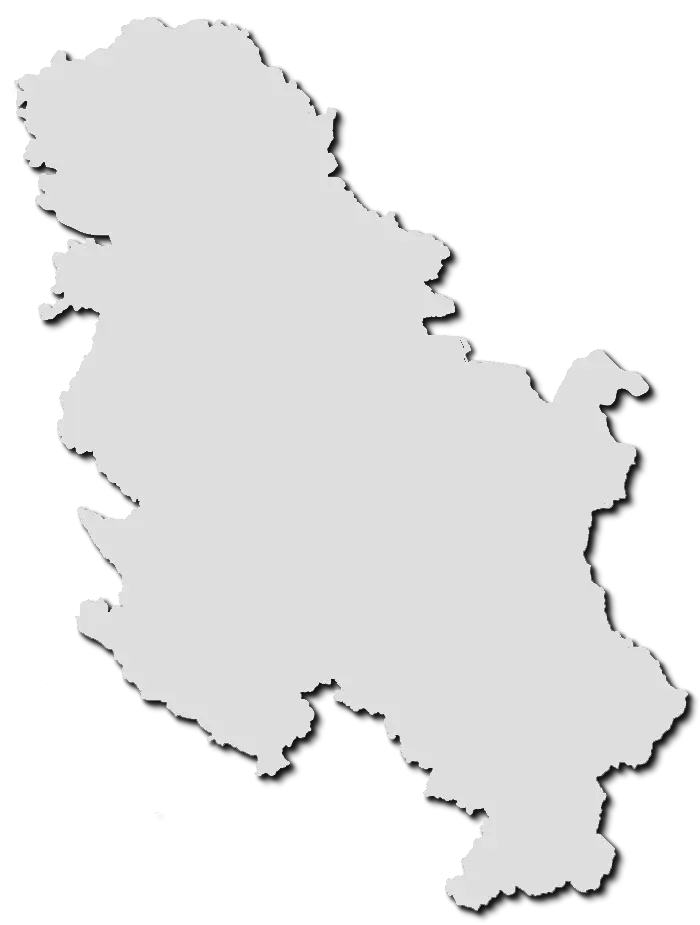
Map of Serbia -

Minimalist Location Pin Icon -
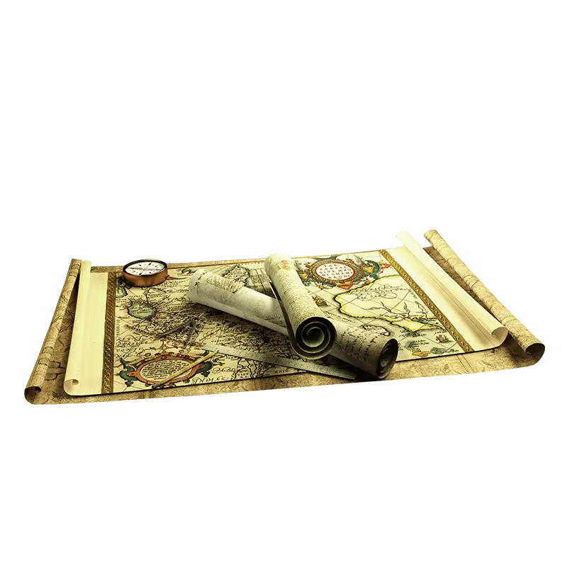
Ancient Maps and Scrolls -

Colorful Map Pins for Navigation -
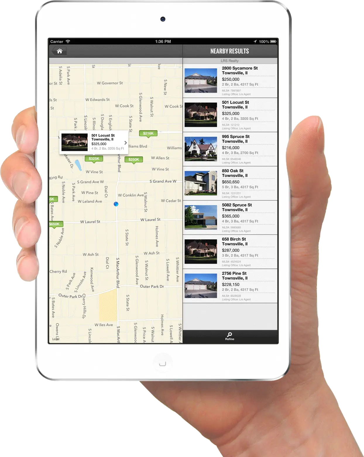
Tablet with Map in Hand -
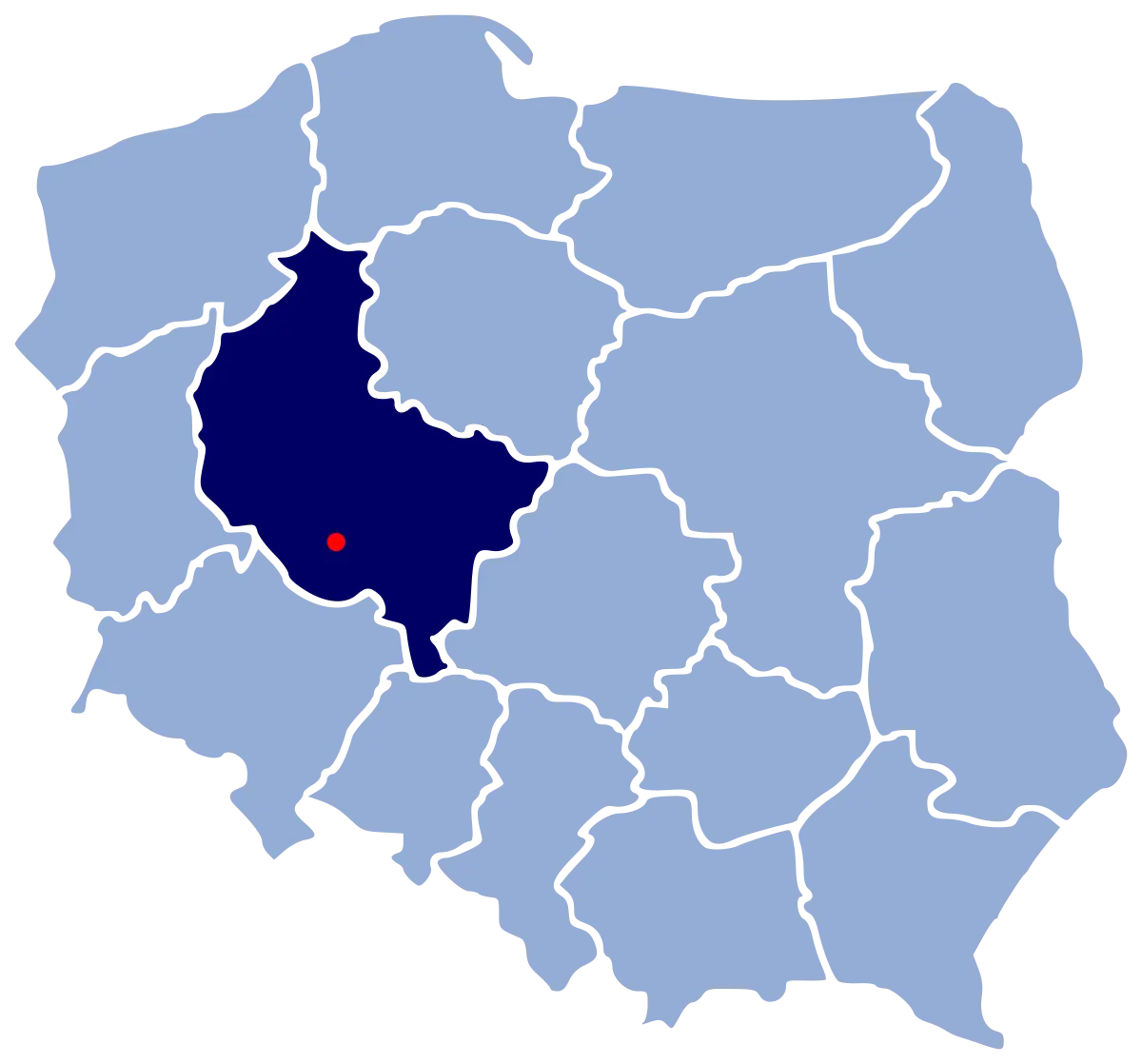
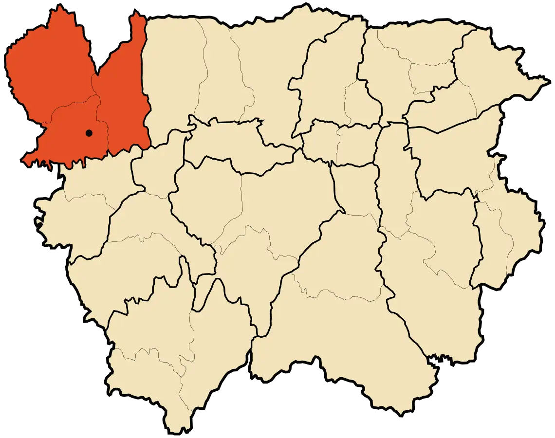
Map of Poland Highlighting Greater Poland Province -
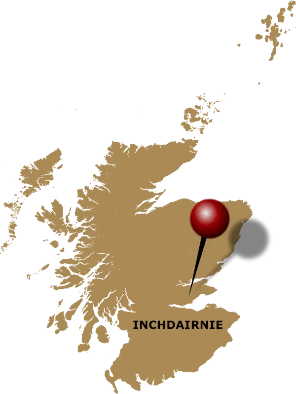
InchDairnie Location Highlighted on Scotland Map -
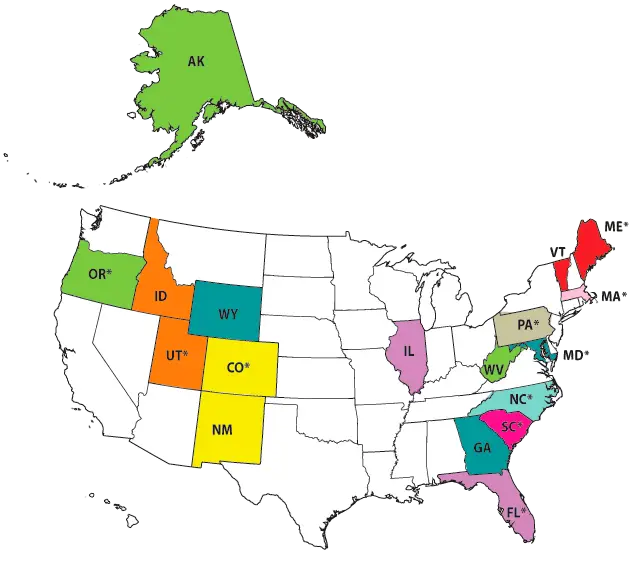
Color-Coded United States Map Illustration -
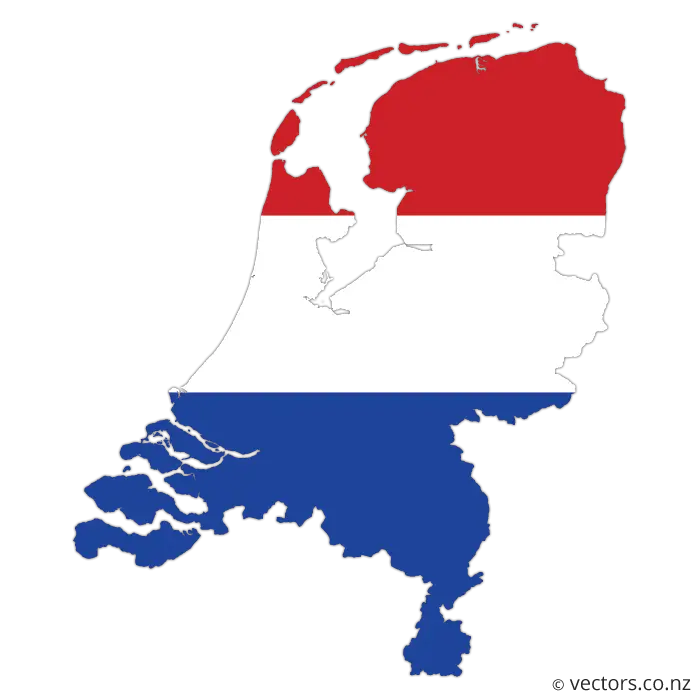
Map of the Netherlands with Flag Colors -
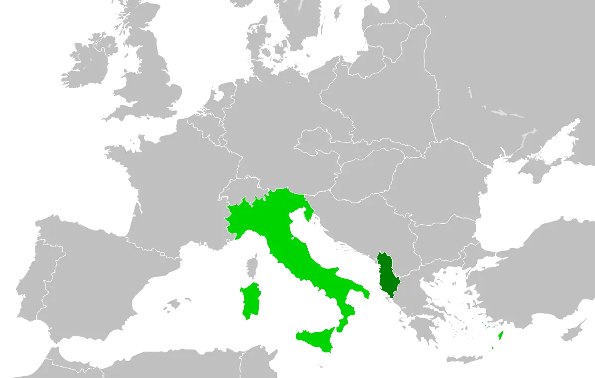
Map of Italy and Surrounding Regions -

Colorful Rainbow Map of Peru -
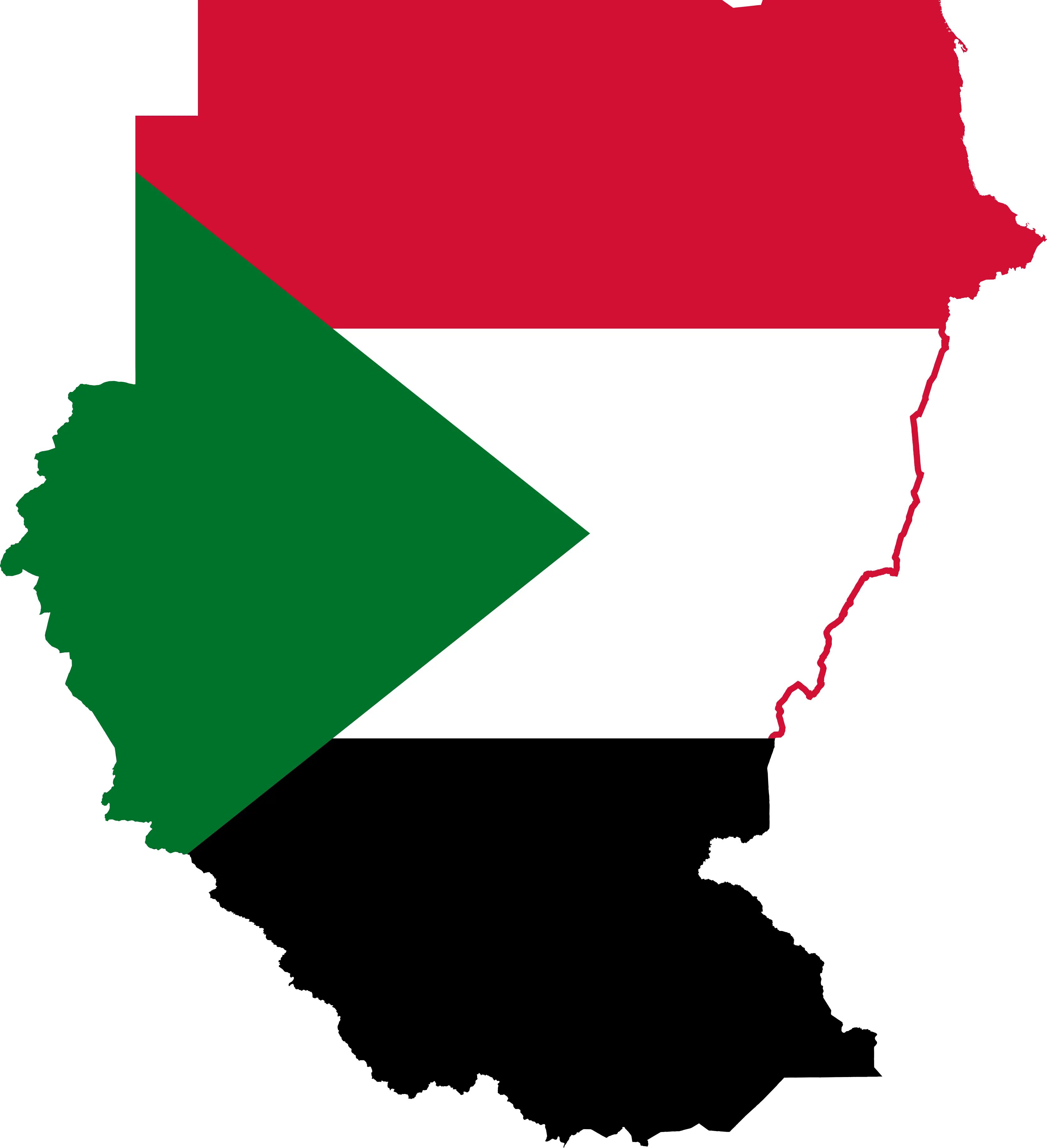
Sudan Map with National Flag Colors -
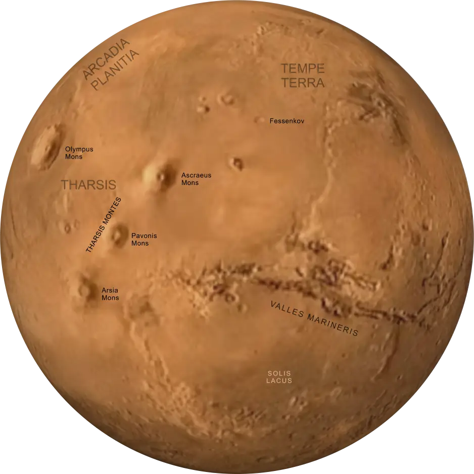
Mars Planet Surface Map with Marked Features -

Crowd Forming Map of Austria -

Australia Highlighted on Globe -

Red Location Pin Icon -

Blue Globe Icon with Orange Pin -
Map of Regions -

USA Map with Heart Locations -

Educational Globe for Geography Learning -
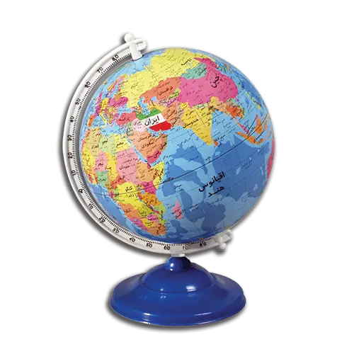
Colorful World Globe for Education -
Highlighted Region on Administrative Map -
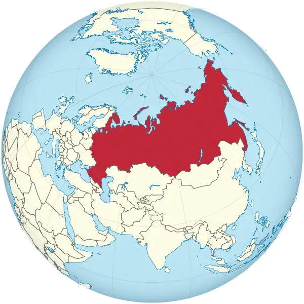
Map of Russia on Globe -
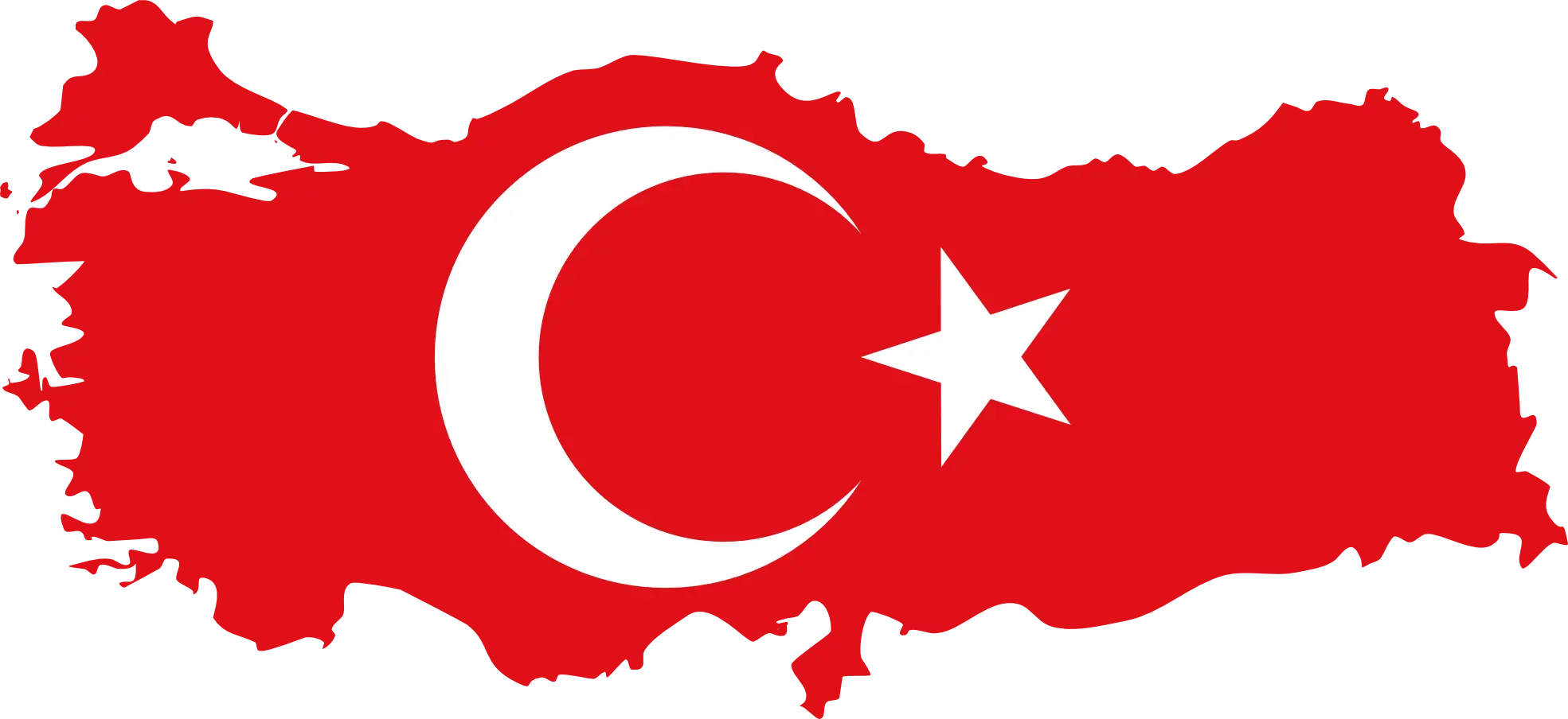
Flag of Turkey in Map Shape -
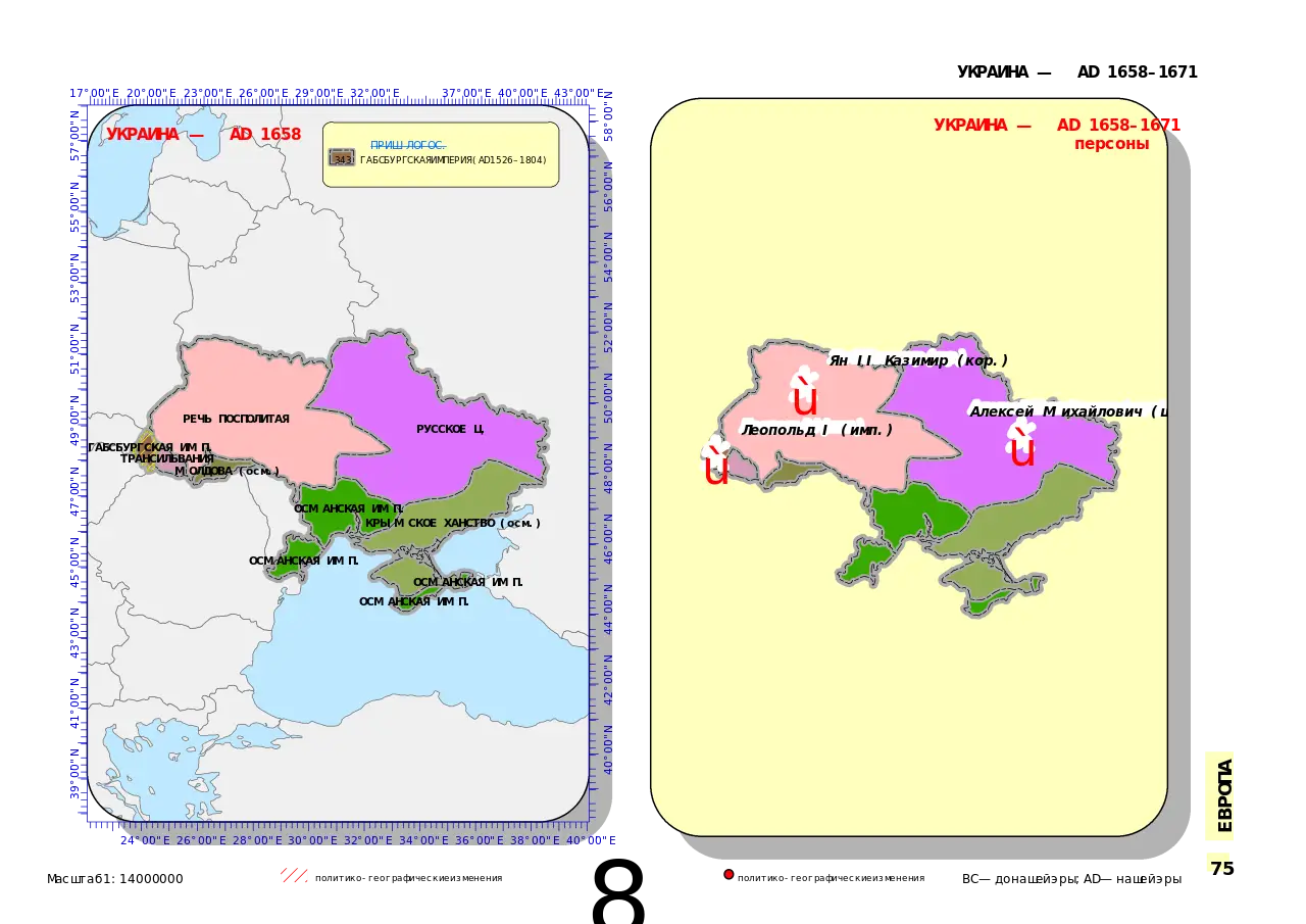
Detailed Ukraine Map Illustration -
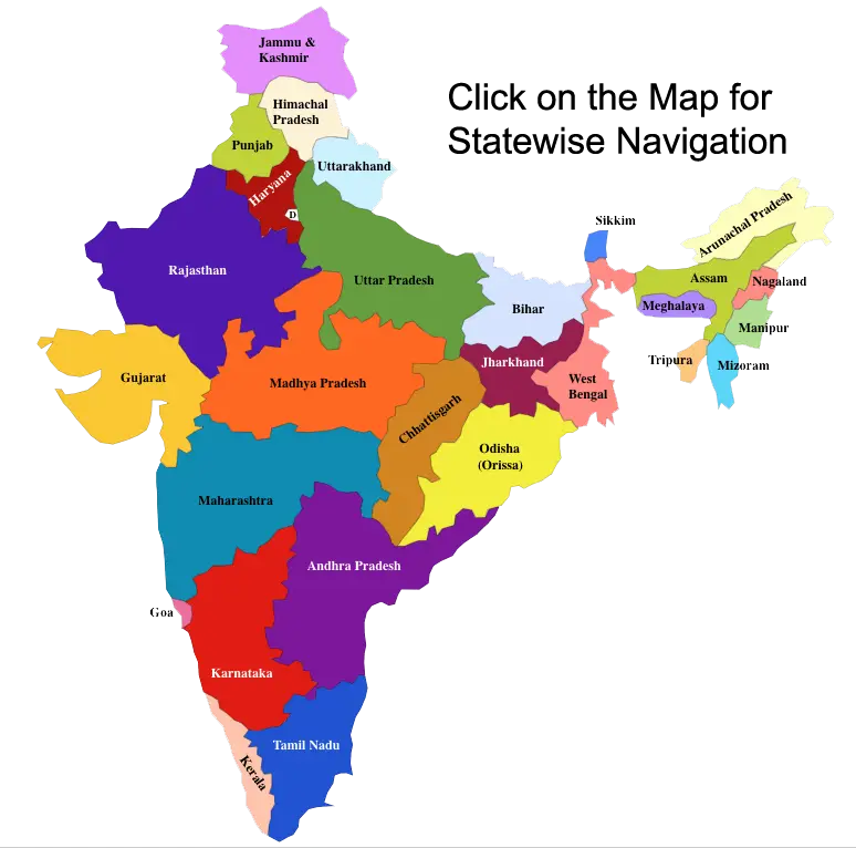
Colorful Map of India with States -
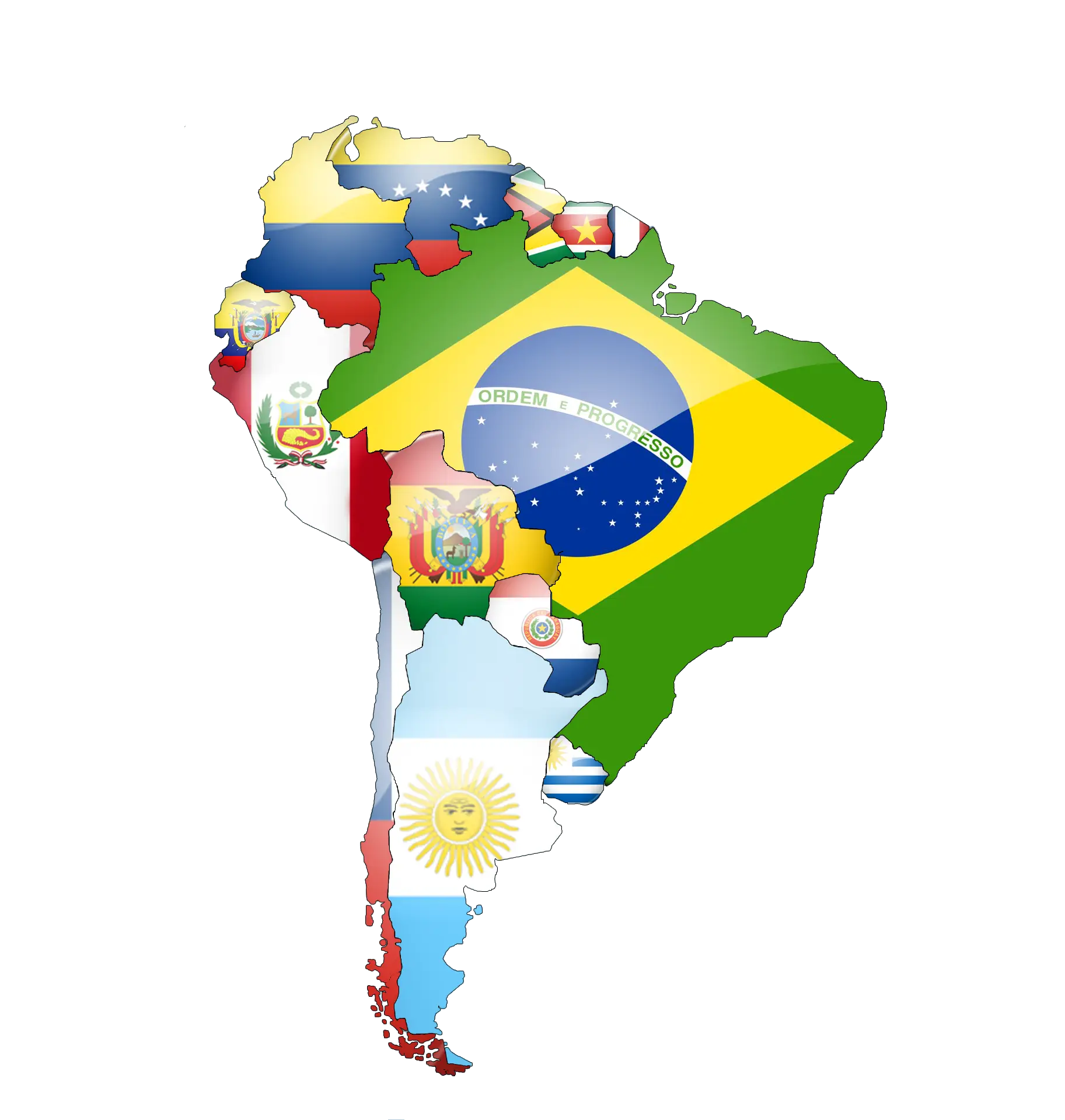
Map of South America Featuring Country Flags -
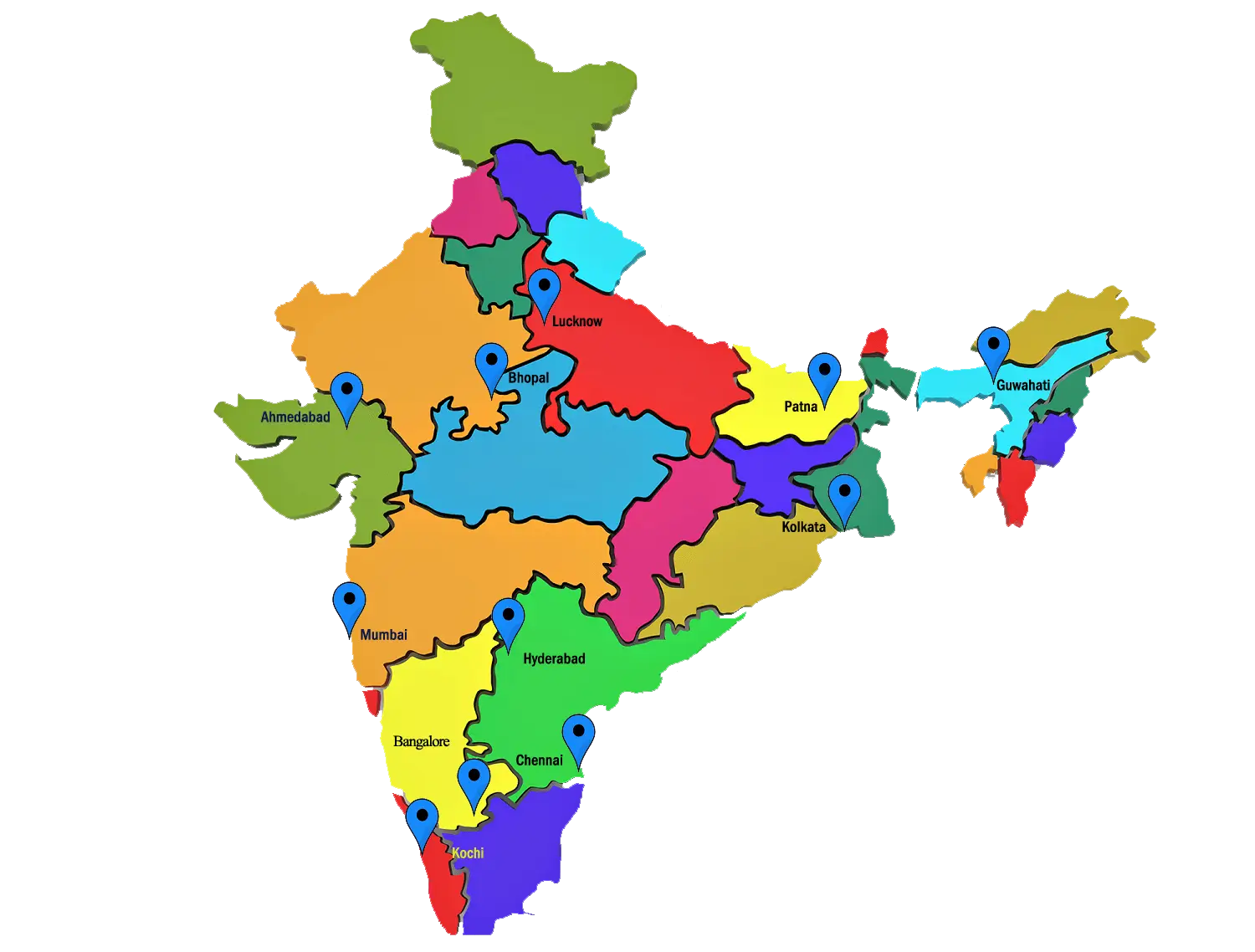
Colorful Map of India with Locations -

Maryland State Flag Map -
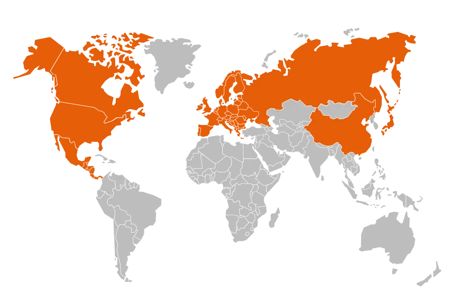
World Map with Regions Highlighted in Orange -

World Map with Global Connections -

Map of Jamaica in National Flag Colors -
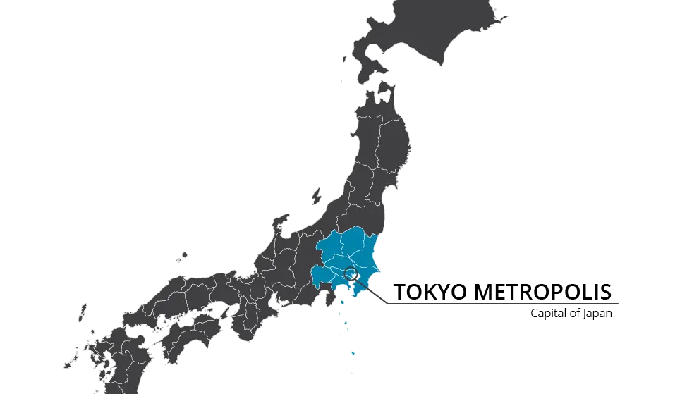
Map of Japan Highlighting Tokyo -

Cartoon Globe Illustration with Continents -

Outline of Africa Map -
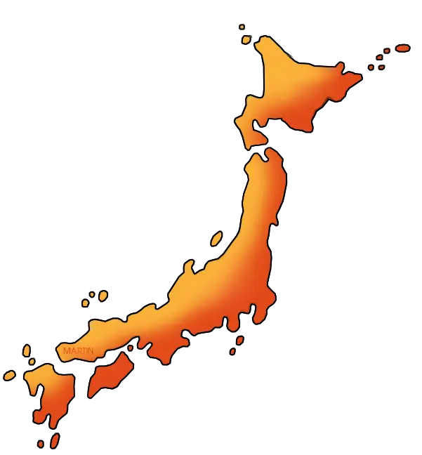
Map of Japan -
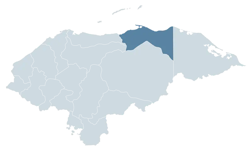
Map Highlighting Honduras Region -

Outlined Map of Australia -
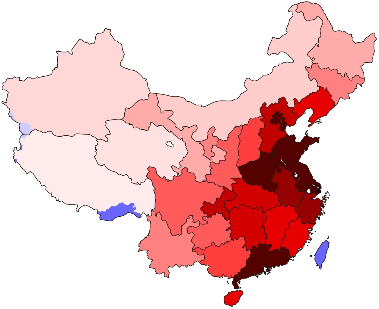
Map of China with Regions